| Start | (-33.7035229,151.0980095) |
| Mode | Bus Car (There is free parking available.) Train |
| Directions | From , Pearce’s Corner. |
| Finish | (-33.664765,151.0804176) |
| Mode (end) | Car Shuttle Car (There is free parking available.) |
| Turn map | Directions & comments |
|---|---|
 |
|
 |
|
 |
|
 |
|
 |
|
 |
|
 |
|
 |
|
 |
|
 |
|
 |
|
 |
|
 |
|
 |
|
 |
|
 |
|
 |
|
 |
|
 |
|
 |
|
 |
|
 |
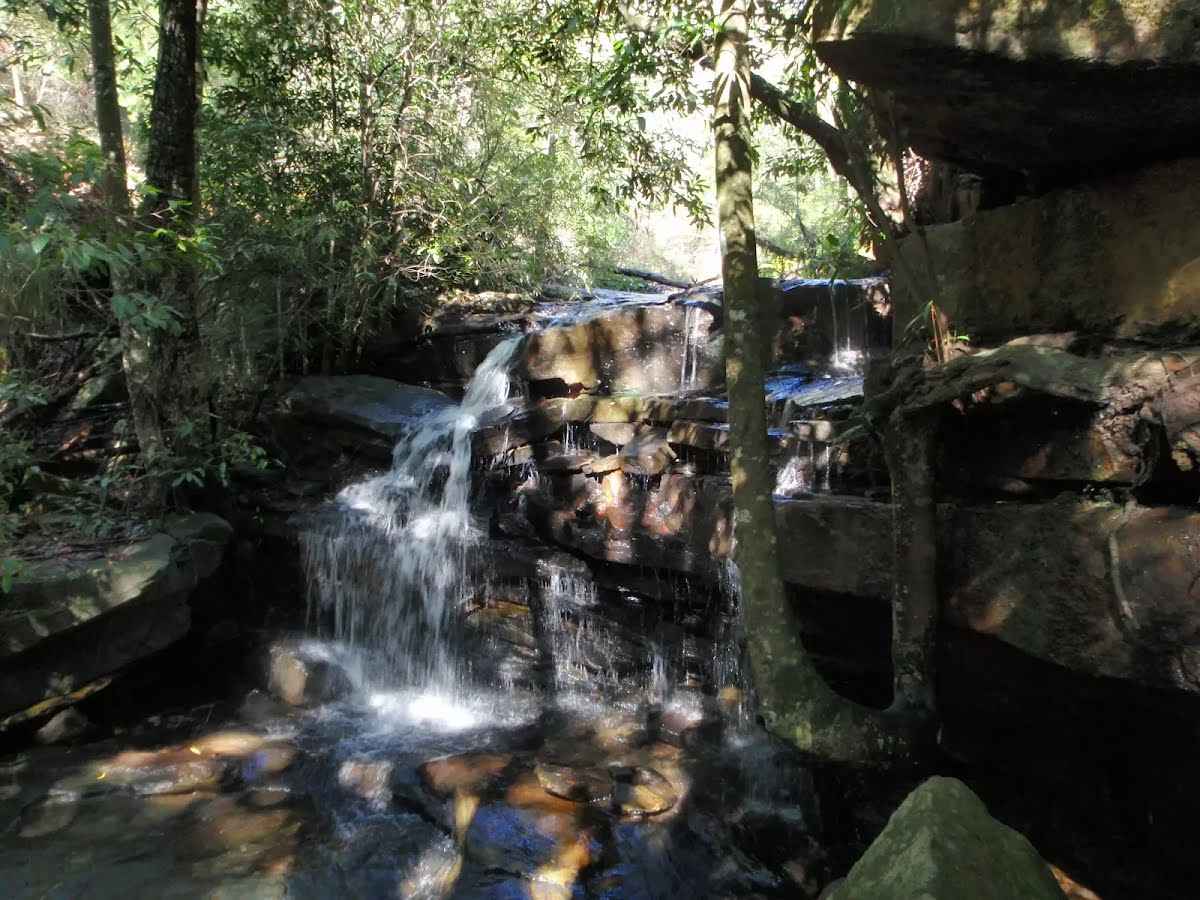
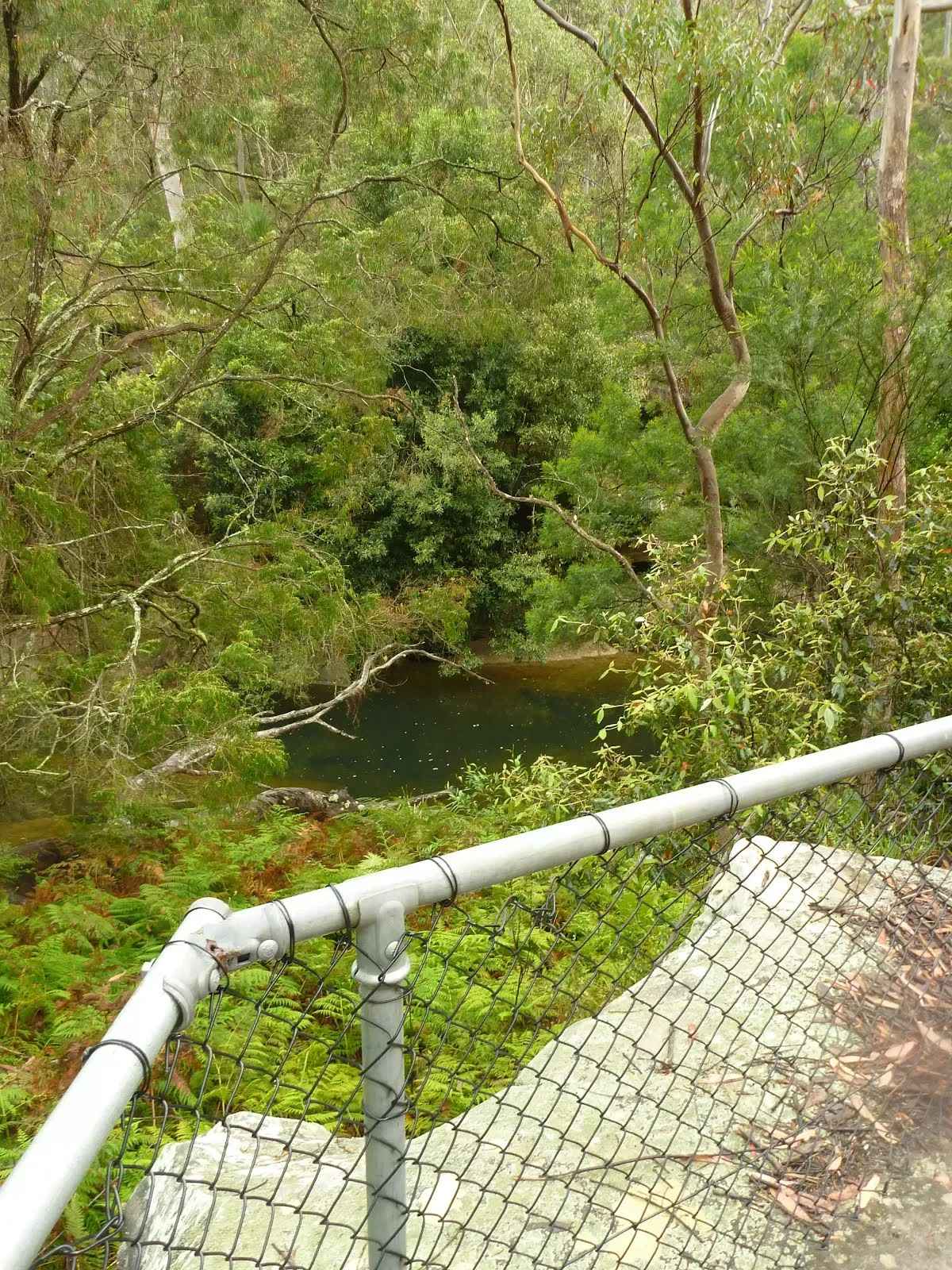
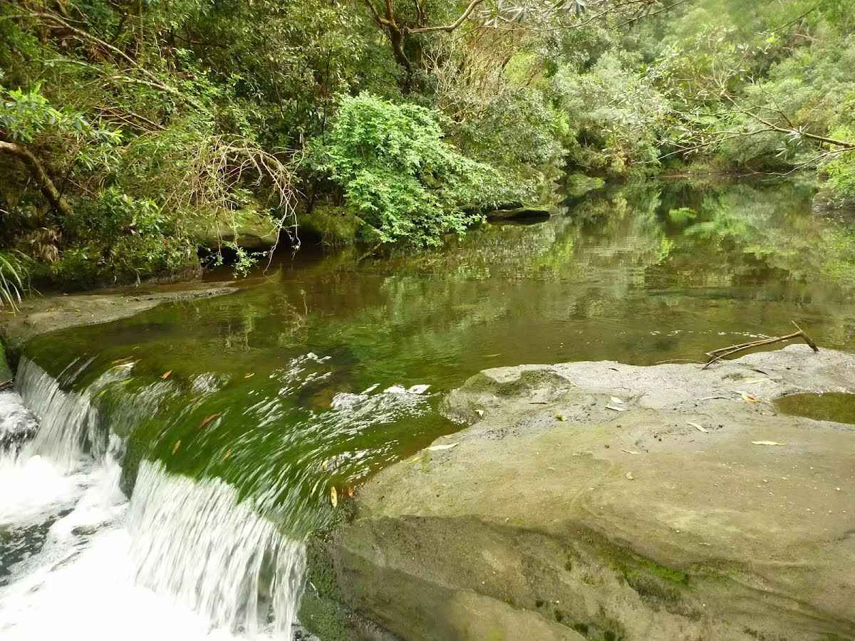
The starting point of an optional sidetrip. An optional side trip to Fishponds crossing. To start this optional side trip continue straight here. On returning from this side trip turn left when you get back to this intersection. Details below.
|
 |
|
 |
|
 |
|
 |
|
 |
|
 |
|
 |
|
 |
|
 |
|
 |
|
 |
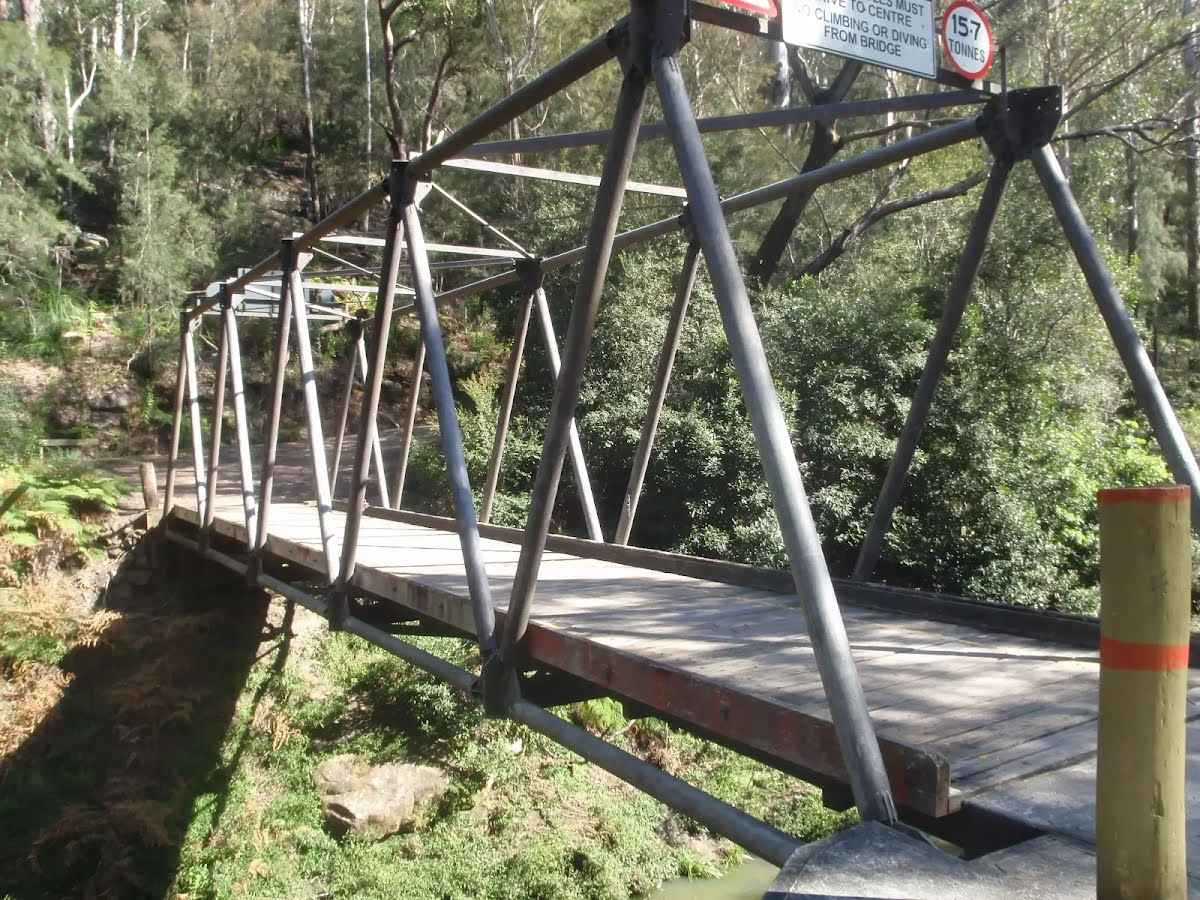
At the intersection of Clarinda Firetrail & Great North Walk turn left, to head along Great North Walk (a walking track).
|
 |
|
 |
After another 370 m (at the intersection of Stewart Avenue Firetrail & Berowra Valley Quarry Firetrail) veer right, to head along Stewart Avenue Firetrail.
|
 |
|
 |
|
 |
After another 80 m (at the intersection of Helipad Firetrail & Berowra Valley Quarry Firetrail) turn right, to head along Helipad Firetrail.
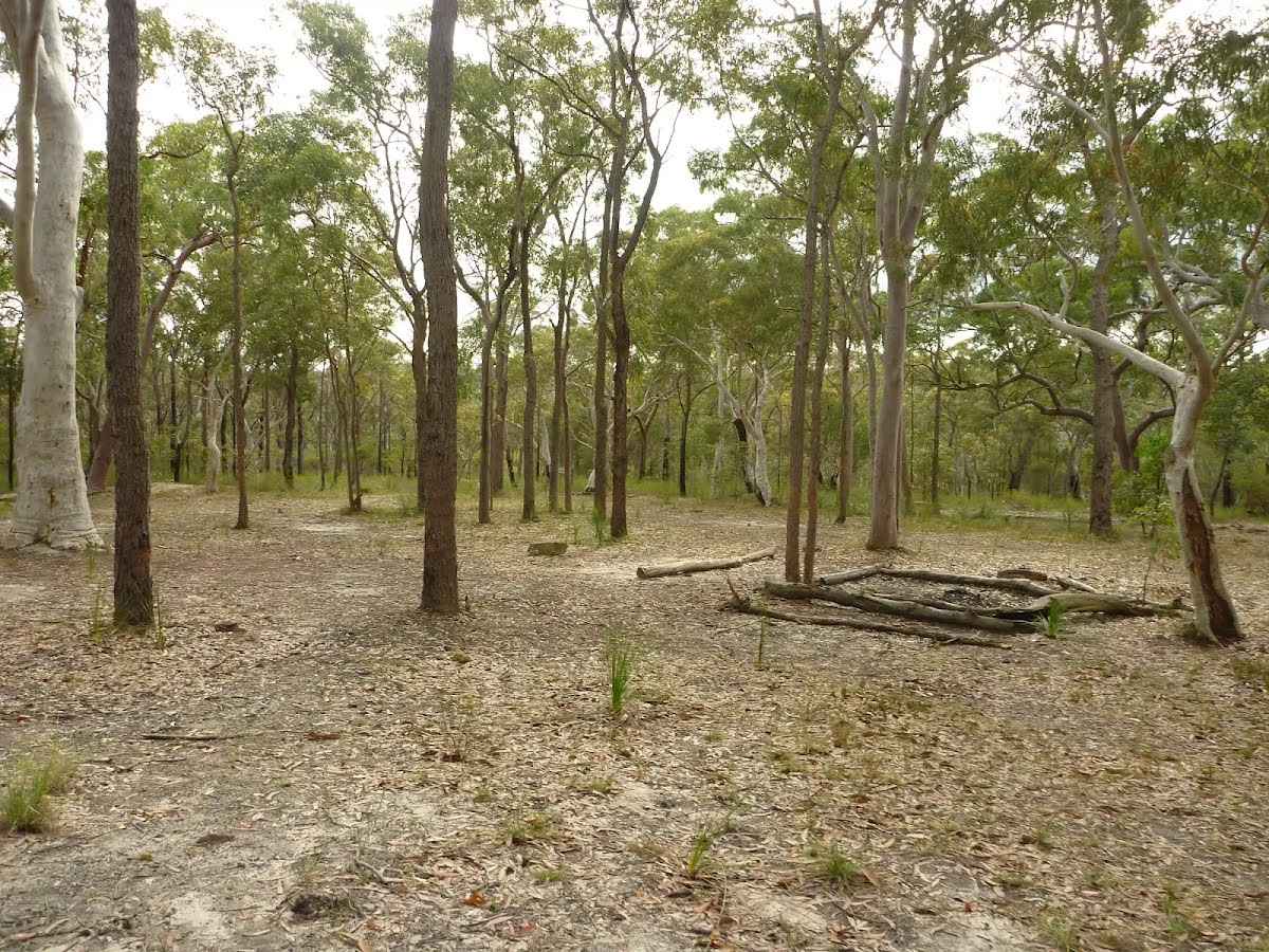
This is a free campsite.
|
 |
|
 |
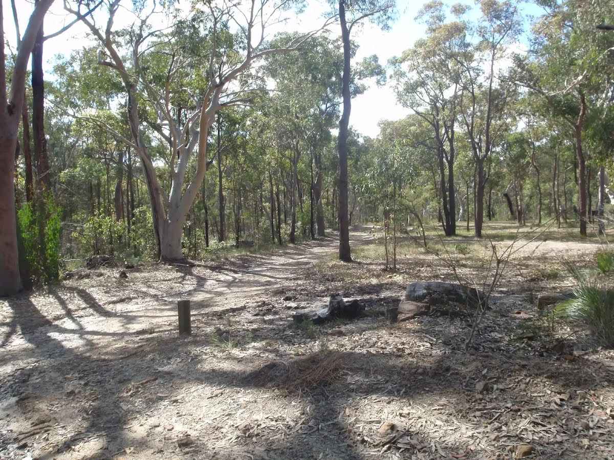
After another 400 m (at the intersection of Helipad Firetrail & Tunks Trail) continue straight, to head along Tunks Trail.
|
 |
|
 |
|
 |
|
 |
|
 |
|
 |
|
 |
|
 |
|
 |
|

|
|
Class 4/6 Hard track |
|---|---|
| Length | 9.8 km |
| Time | 4 h to 6 h |
| Quality of track | Formed track, with some branches and other obstacles (3/6) |
| Gradient | Very steep (4/6) |
| Signage | Directional signs along the way (3/6) |
| Infrastructure | Limited facilities, not all cliffs are fenced (3/6) |
| Experience Required | Some bushwalking experience recommended (3/6) |
| Weather | Weather generally has little impact on safety (1/6) |
| Item | From Start | Name & link to notes |
|---|---|---|
Seat
| -86 m | [seat] |
Seat
| -82 m | [seat] |
Seat
| -80 m | [seat] |
Seat
| -76 m | [seat] |
Seat
| -55 m | [seat] |
Shelter
| -51 m | [shelter] |
Seat
| -23 m | [seat] |
Seat
| -15 m | [seat] |
Shelter
| -2 m | [shelter] |
Shelter
| 15 m | [shelter] |
Toilet
| 15 m | [toilet] |
Shelter
| 30 m | [shelter] |
Shelter
| 1.3 km | [shelter] |
Camp site
| 7.9 km | Tunks Ridge Camping Area |
Campsite
| 7.9 km | Tunks Ridge Rest Area |
Campsite
| 9.2 km | Top of Galston Gorge Campsite |