| Start | From the Burwood Road (-32.9624727,151.7194587) |
| Mode | Bus Car |
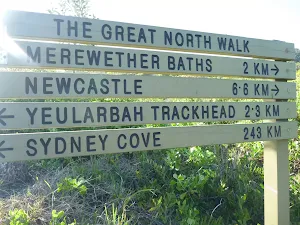
| Directions | From , Charlestown. |
| Turn map | Directions & comments |
|---|---|
 |
|
 |
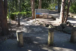
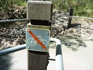
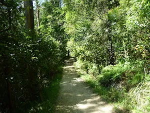
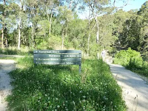
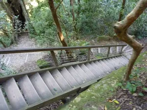
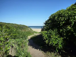
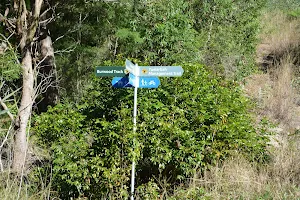
After another 4 m (at the intersection of Yuelarbah Walking Track & De Luge) turn left, to head along Yuelarbah Walking Track (a walking track).
|
 |
|
 |
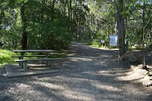
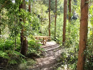
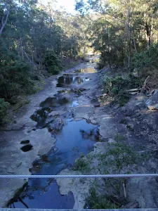
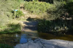
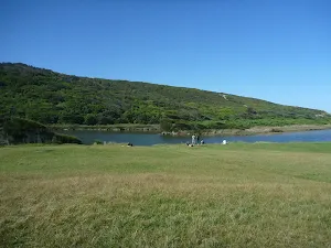
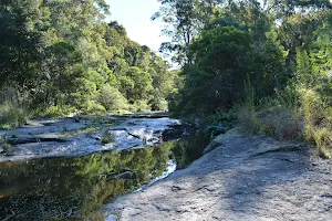
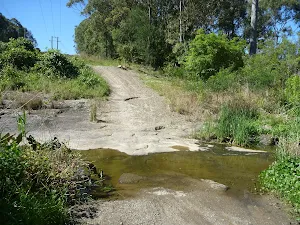
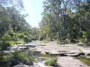
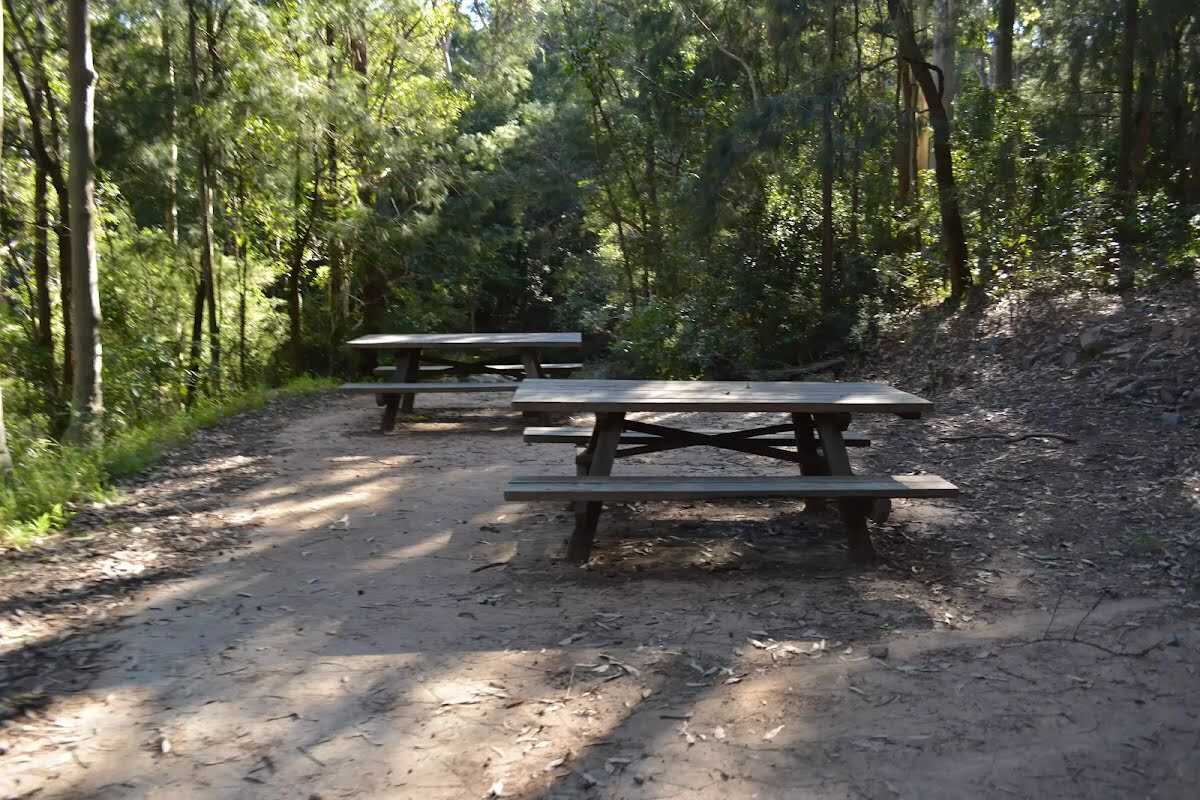
The starting point of an optional sidetrip. An optional side trip to a picnic area beside Flaggy Creek, which has picnic tables and a rough track leading down to the creek. To start this optional side trip turn left here. On returning from this side trip turn left when you get back to this intersection. Details below.
|
 |
|
 |
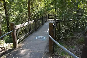
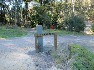
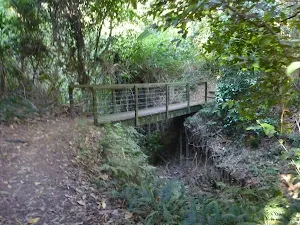
After another 65 m (from the Yuelarbah Walking Track) continue straight, to head along Yuelarbah Walking Track.
|
 |
|
 |
|
 |
|
 |
|
 |
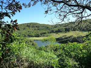
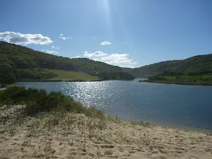
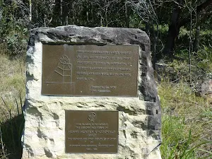
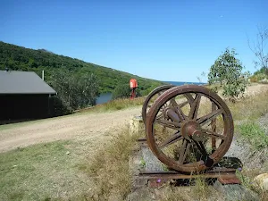
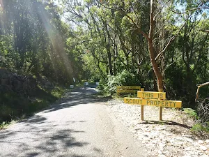
The starting point of an optional sidetrip. An optional side trip to the historic Burwood Colliery, which was established around 1850 on the southern shore of Glenrock Lagoon and is one of the oldest and best-preserved remains of a 19th-century coal mine in the Hunter Valley. To start this optional side trip turn right here. On returning from this side trip continue straight when you get back to this intersection. Details below.
|
 |
|
 |
|
 |
|
 |
|
 |
|
 |
|
 |
|
 |
| Turn map | Directions & comments |
|---|---|
 |
|
 |

|
|
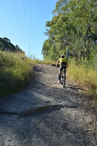
Class 3/6 Moderate track |
|---|---|
| Length | 4.6 km |
| Time | 1 h to 2 h |
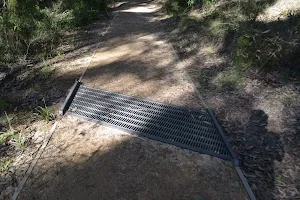
| Quality of track | Formed track, with some branches and other obstacles (3/6) |
| Gradient | Short steep hills (3/6) |
| Signage | Clearly signposted (2/6) |
| Infrastructure | Generally useful facilities (such as fenced cliffs and seats) (2/6) |
| Experience Required | Some bushwalking experience recommended (3/6) |
| Weather | Storms may impact on navigation and safety (3/6) |
| Item | From Start | Name & link to notes |
|---|---|---|
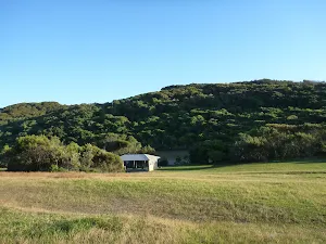
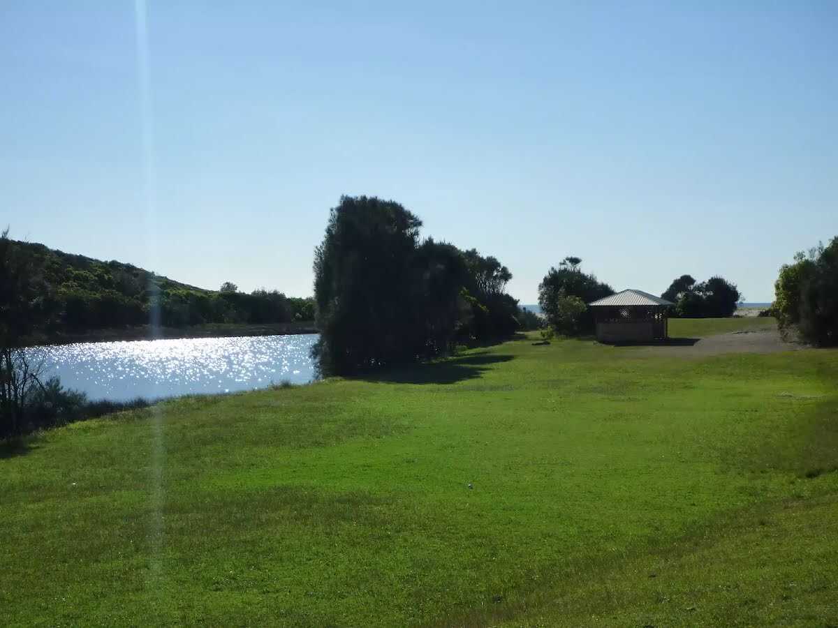
Shelter
| 2.8 km | [shelter] |
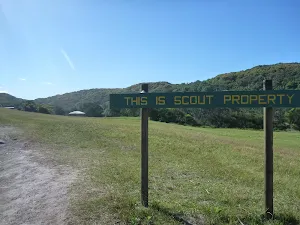
Campsite
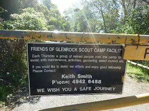
| 3 km | Glenrock Scout Camp |
Camp site
| 3 km | Glenrock Scout Training Camp |