


| Start | (-33.7094938,150.3763659) |
| Mode | Bus Car (There is free parking available.) Train |
| Turn map | Directions & comments |
|---|---|
 |
|
 |
|
 |
|
 |
|
 |
|
 |
|
 |
|
 |
|
 |
|
 |
|
 |
|
 |
|
 |
|
 |
|
 |
|
 |
|
 |
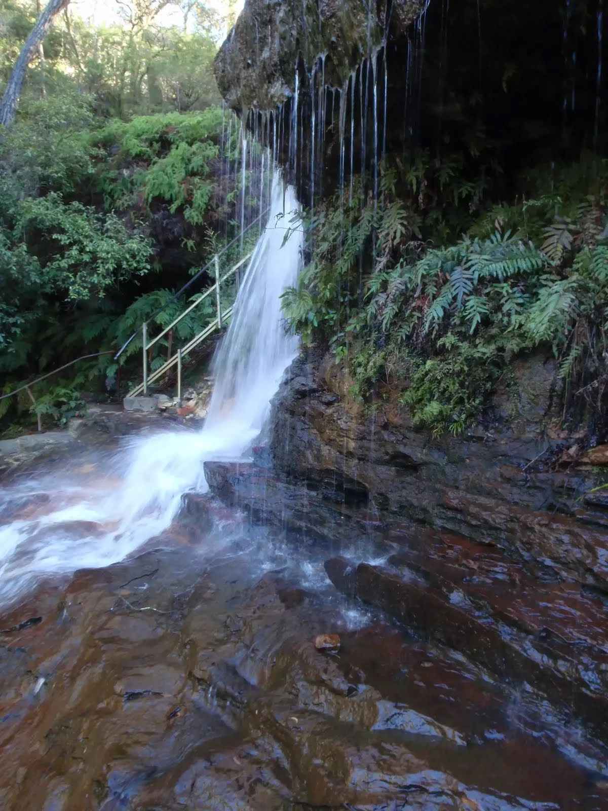
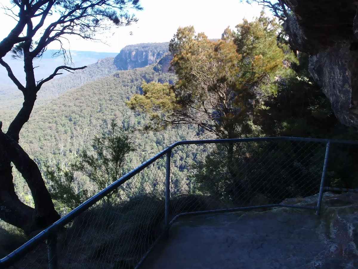
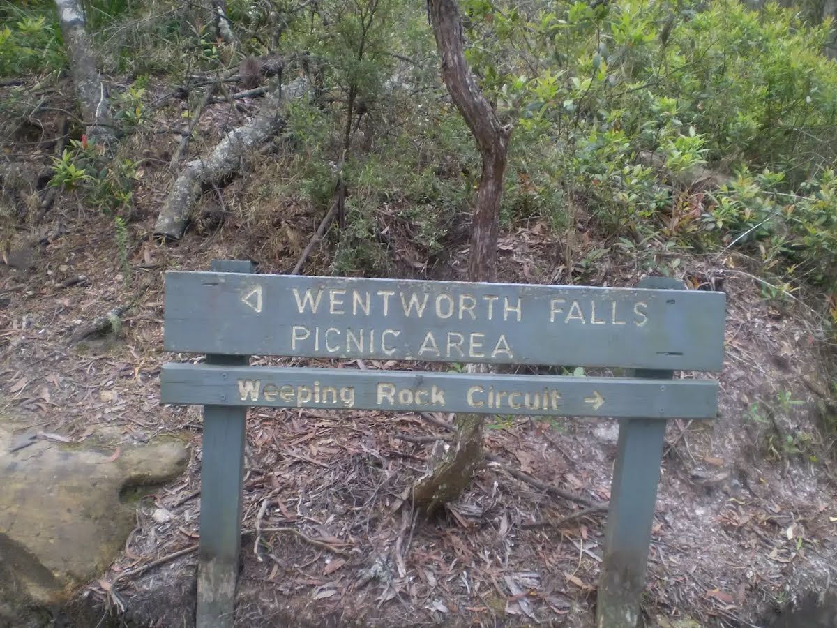
After another 20 m (from the Weeping Rock Circuit) continue straight, to head along Weeping Rock Circuit.
|
 |
At the intersection of Wentworth Falls Track & Weeping Rock Circuit continue straight, to head along Wentworth Falls Track.
|
 |
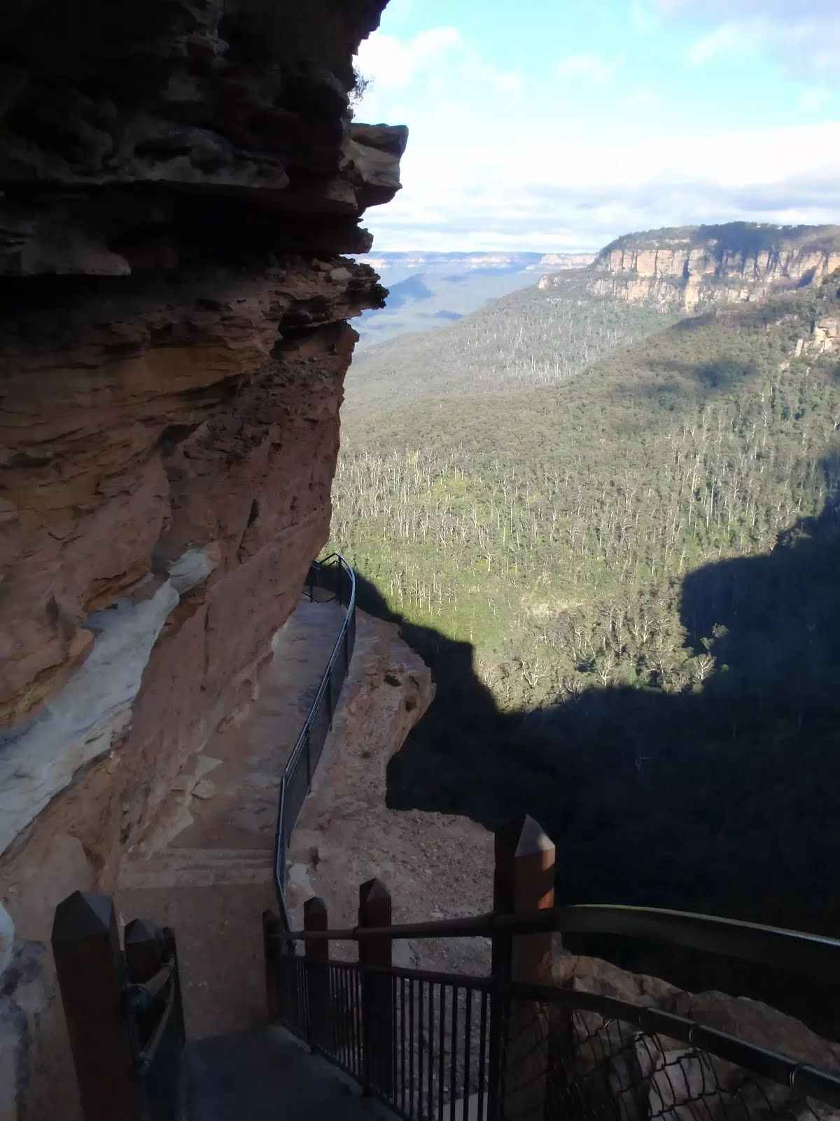
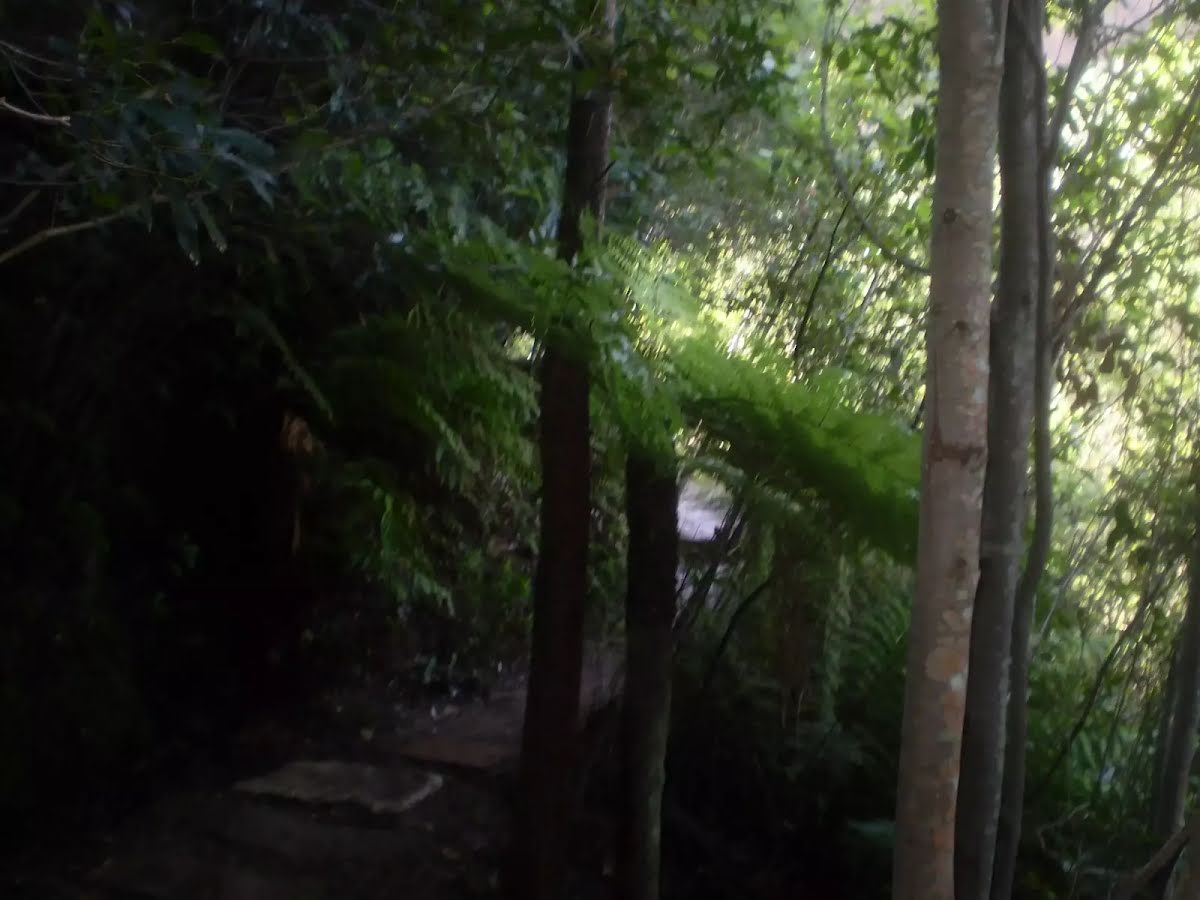
At the intersection of National Pass Track & Wentworth Falls Track continue straight, to head along National Pass Track.
|
 |
After another 280 m (at the intersection of Slacks Stairs & National Pass Track) continue straight, to head along National Pass Track.
|
 |
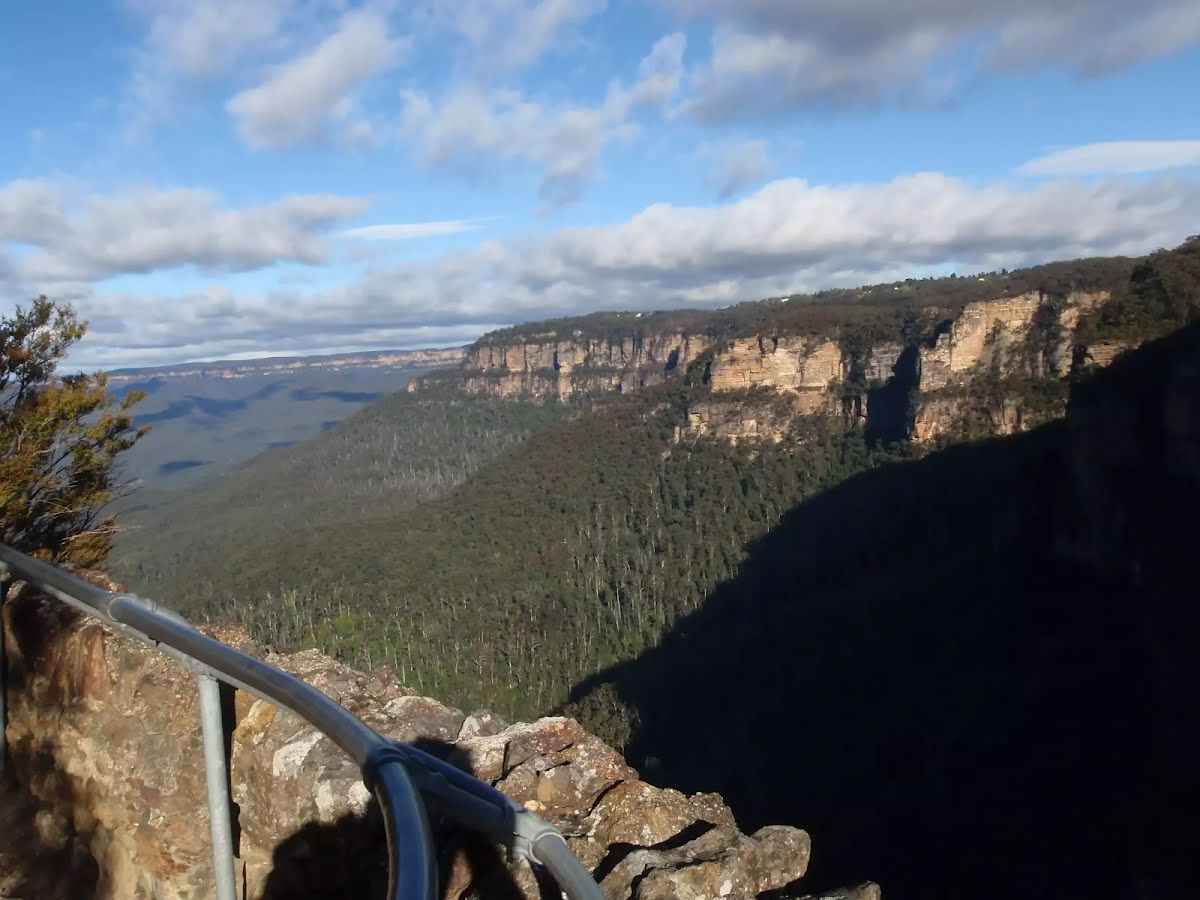
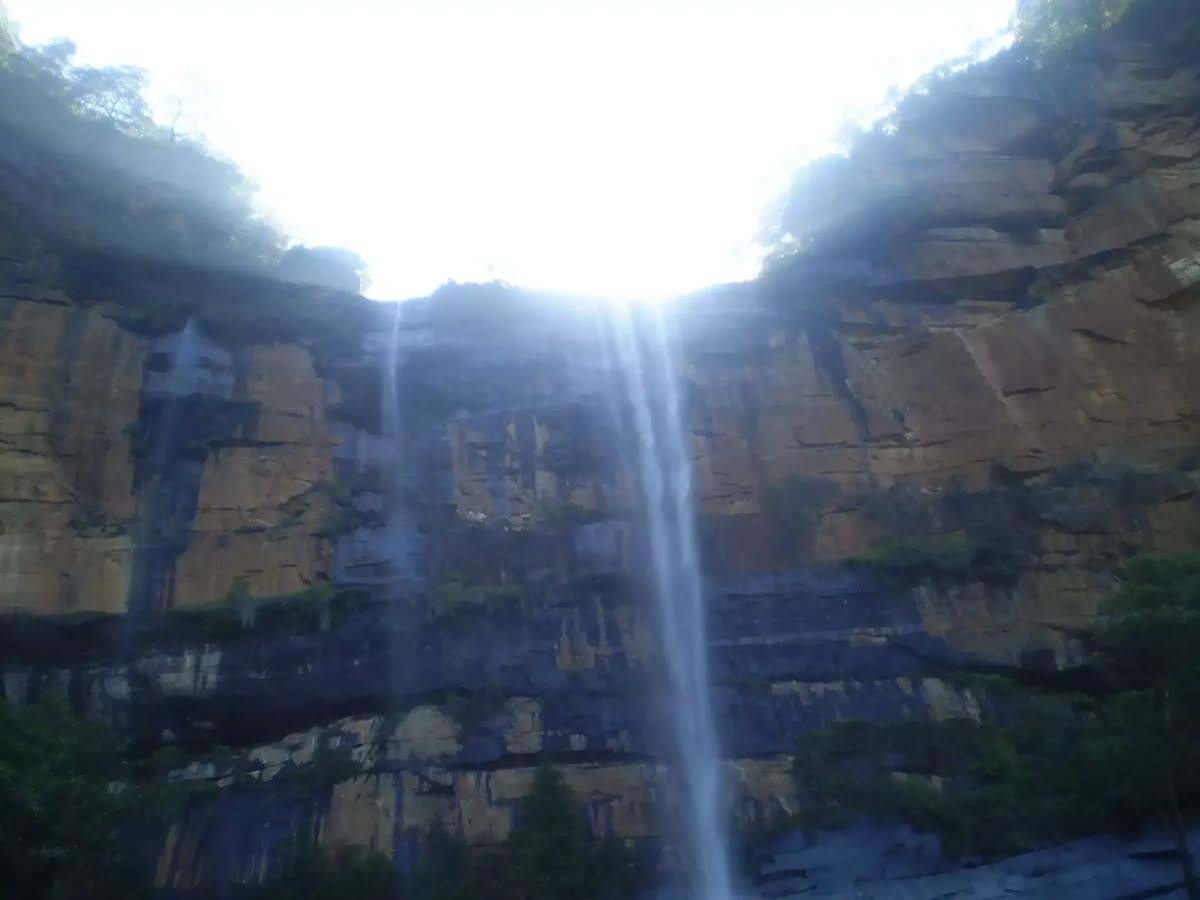
After another 120 m (at the intersection of National Pass Track & Wentworth Pass) continue straight, to head along National Pass Track.
|
 |
|
 |
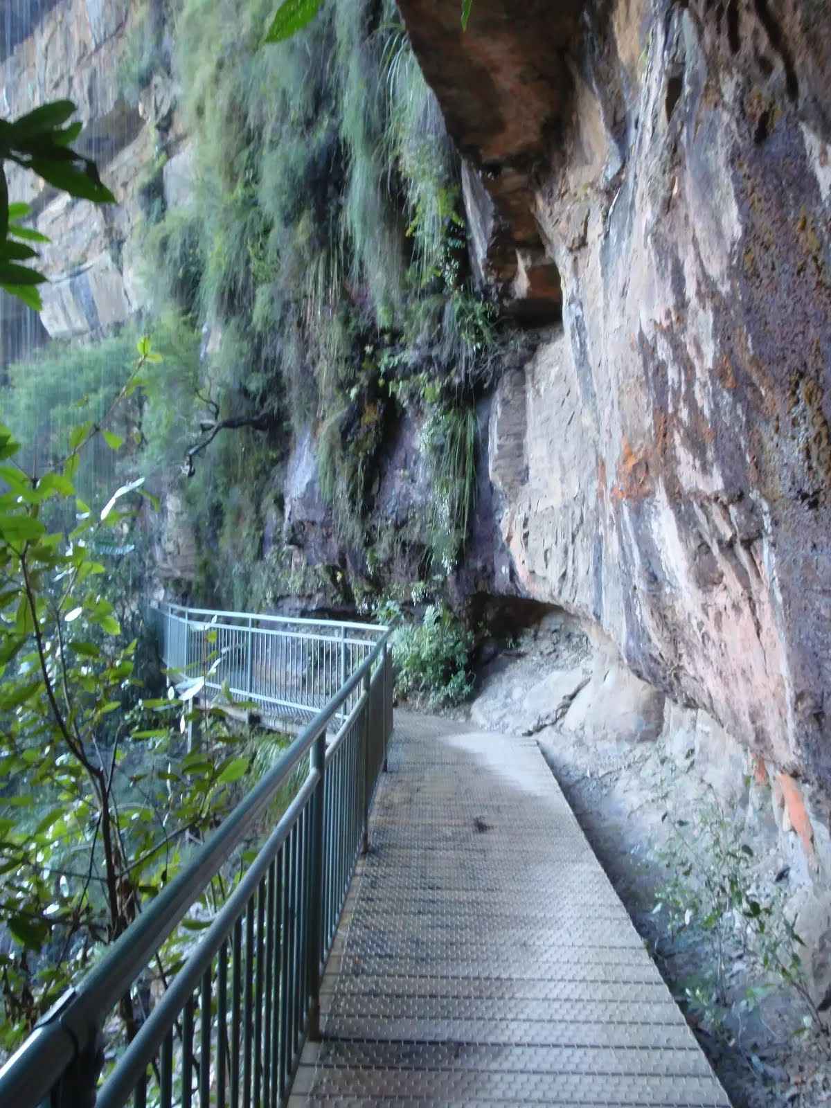
After another 55 m (from the Valley of the Waters Track) turn left, to head along Valley of the Waters Track.
|
 |
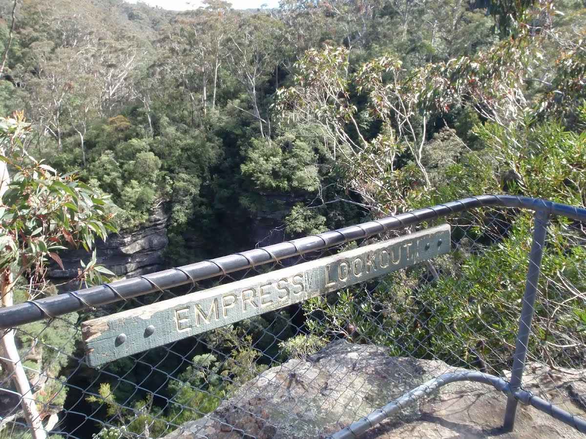
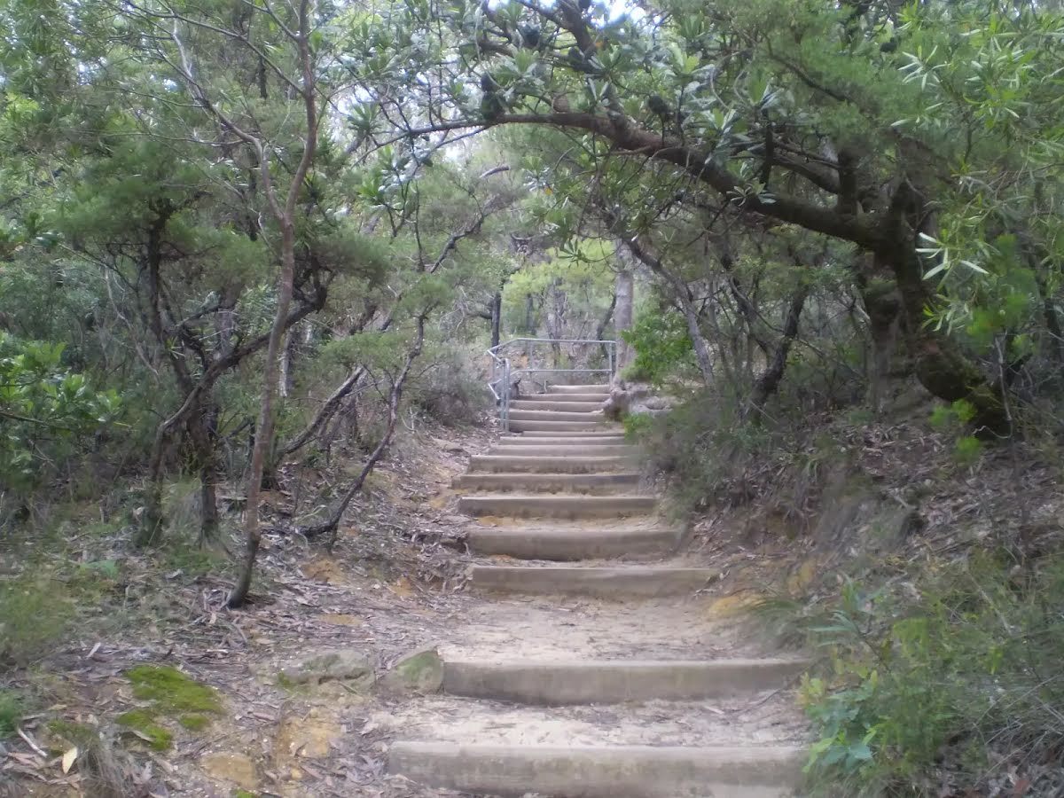
The starting point of an optional sidetrip. An optional side trip to Queen Victoria Lookout. To start this optional side trip turn right here. On returning from this side trip continue straight when you get back to this intersection. Details below.
|
 |
|
 |
After another 155 m (at the intersection of Valley of the Waters Track & Short Cut Track) veer right, to head along Short Cut Track.
|
 |
|
 |
|
 |
|
 |
|
 |
|
 |
|
 |
|
 |
|
 |
|
 |
|
 |
|
 |
|
 |
|
 |
|
 |
|
 |
|
 |
|
 |
|
 |
|
 |
|
 |
|
 |
|
 |

|
|
Class 4/6 Hard track |
|---|---|
| Length | 11 km |
| Time | 6 h 30 min to 8 h |
| Quality of track | Formed track, with some branches and other obstacles (3/6) |
| Gradient | Very steep (4/6) |
| Signage | Directional signs along the way (3/6) |
| Infrastructure | Limited facilities, not all cliffs are fenced (3/6) |
| Experience Required | Some bushwalking experience recommended (3/6) |
| Weather | Storms may impact on navigation and safety (3/6) |
| Item | From Start | Name & link to notes |
|---|---|---|
Toilet
| 150 m | [toilet] |
Toilet
| 480 m | [toilet] |
Seat
| 4.6 km | [seat] |
Toilet
| 6 km | [toilet] |