| Start | At the intersection of Snowies Alpine Walk & Illawong Walk (-36.3813408,148.3721701) |
| Mode | Car |
| Directions | From , District of Tuggeranong. |
| Turn map | Directions & comments |
|---|---|
 |
|
 |
After another 90 m (from the Snowies Alpine Walk) turn left, to head along Snowies Alpine Walk (a walking track).
|
 |
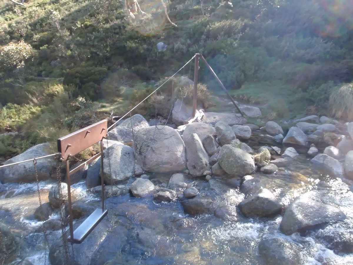
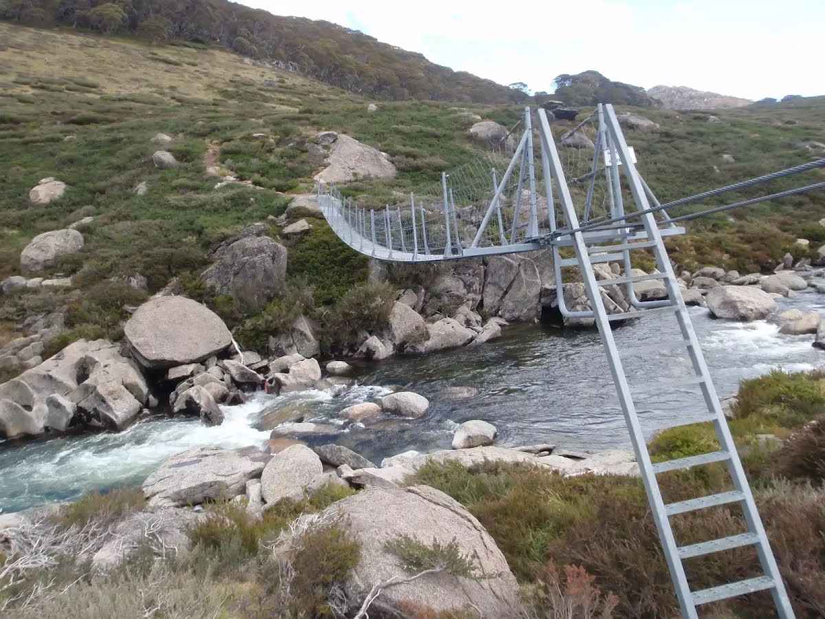
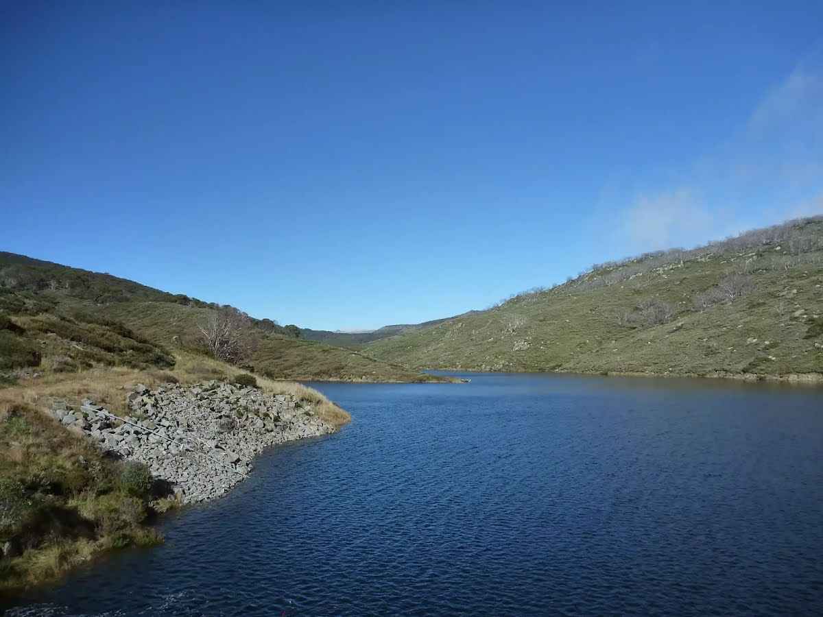
After another 75 m (at the intersection of Illawong Bridge Track & Snowies Alpine Walk) veer right, to head along Illawong Bridge Track.
|
 |
|
 |
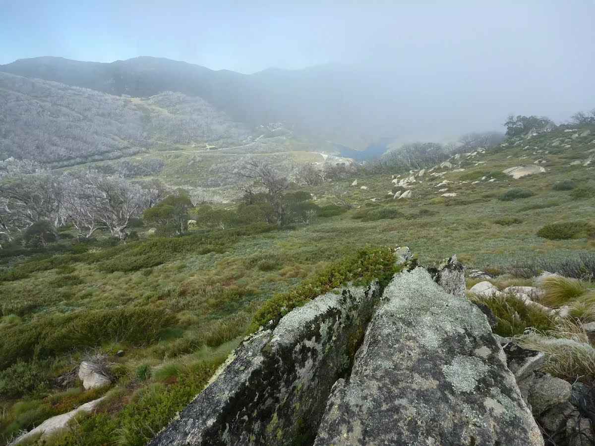
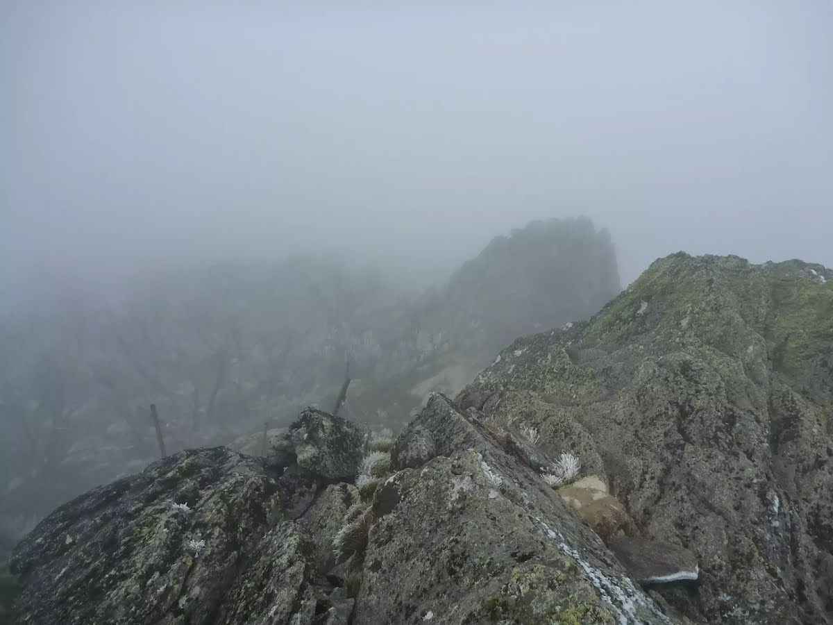
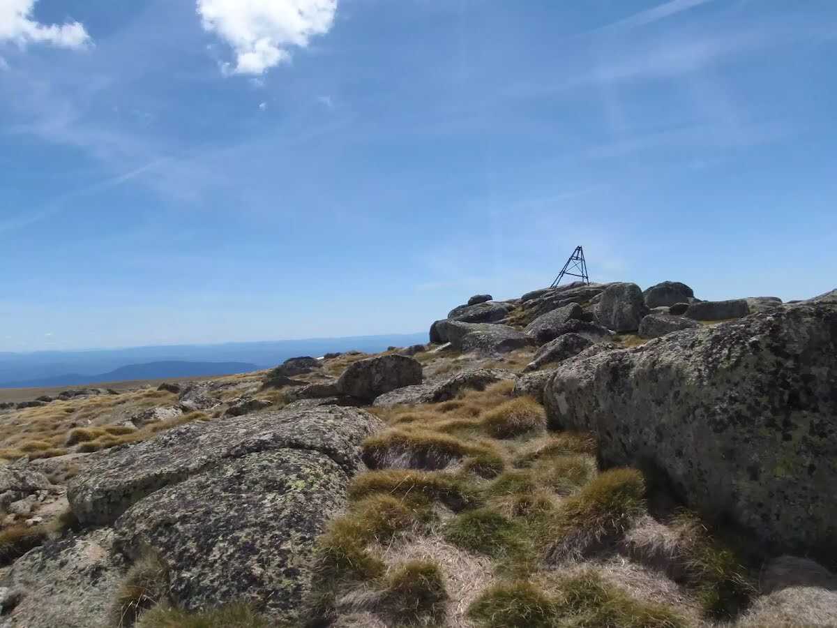
The starting point of an optional sidetrip. Side trip to the summit of Mt Twynam, Australia's mainland third highest peak. To start this optional side trip turn left here. On returning from this side trip continue straight when you get back to this intersection. Details below.
|
 |
|
 |
|
 |
|
 |
|
 |
|
 |
|
 |
|
 |
|
 |
|
 |
|
 |
|
 |
|
 |
|
 |

|
|
Class 5/6 Very challenging |
|---|---|
| Length | 19.8 km |
| Time | 2 days to 3 days |
| Quality of track | Rough unclear track (5/6) |
| Gradient | Short steep hills (3/6) |
| Signage | No directional signs (5/6) |
| Infrastructure | No facilities provided (5/6) |
| Experience Required | High level of bushwalking experience recommended (5/6) |
| Weather | Forecasted & unexpected severe weather likely to have an impact on your navigation and safety (5/6) |
| Item | From Start | Name & link to notes |
|---|---|---|
Shelter
| 2.5 km | Illawong Lodge |