| Start | At the intersection of Scotts Point Walk & The Lane (-32.8342997,151.7087816) |
| Mode | Car |
| Directions | From , Hexham. |

|
|
Class 2/6 Easy track |
|---|---|
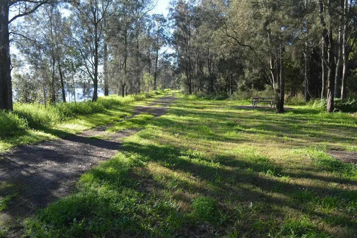
| Length | 2.4 km |
| Time | 30 min to 1 h |
| Quality of track | Clear and well formed track or trail (2/6) |
| Gradient | Gentle hills with occasional steps (2/6) |
| Signage | Clearly signposted (1/6) |
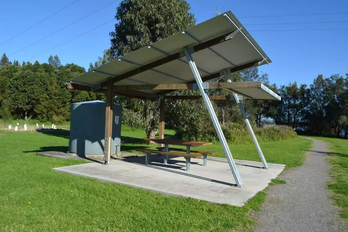
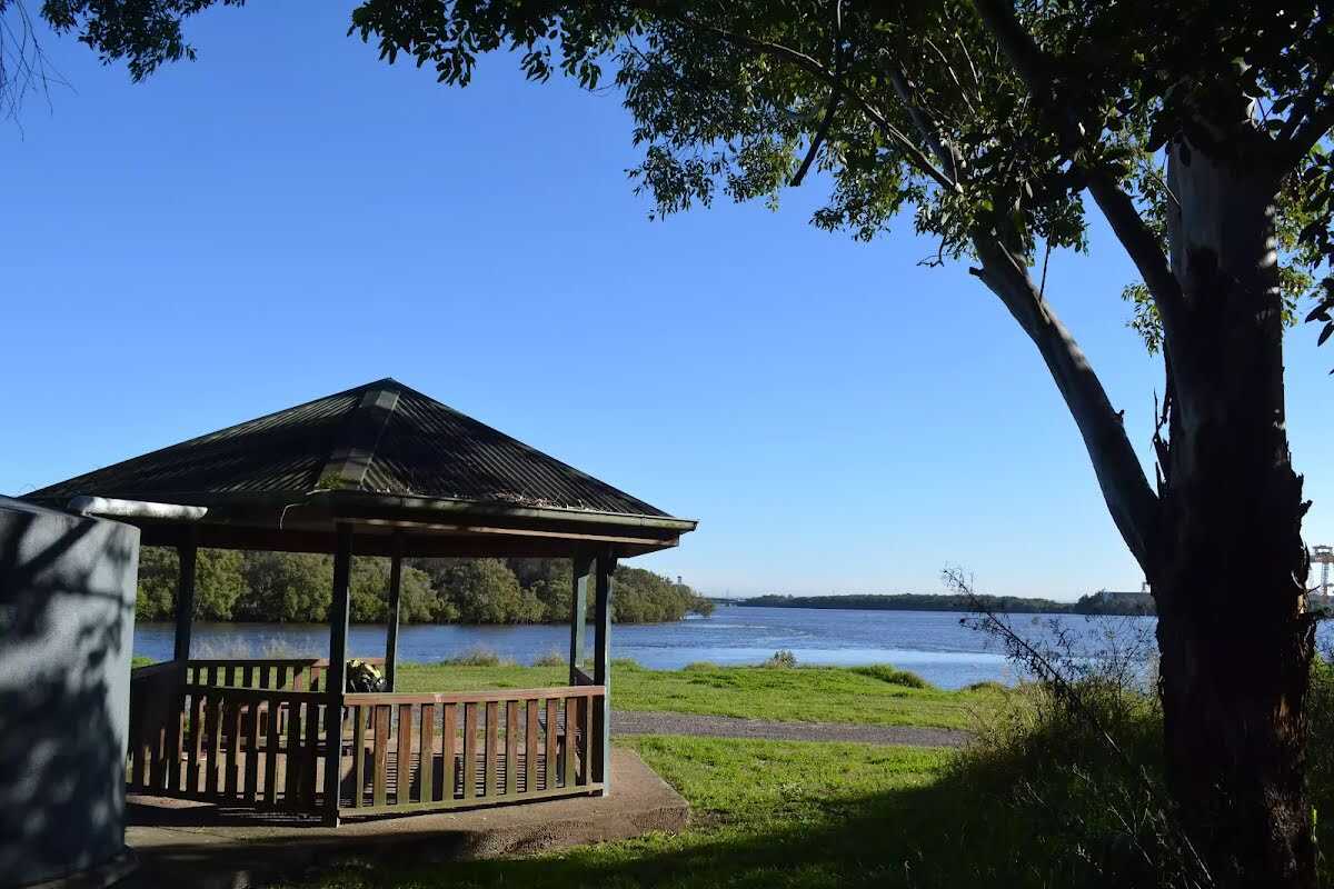
| Infrastructure | Generally useful facilities (such as fenced cliffs and seats) (1/6) |
| Experience Required | No experience required (1/6) |
| Weather | Weather generally has little impact on safety (1/6) |
| Item | From Start | Name & link to notes |
|---|---|---|
Seat
| 50 m | Seat |
Seat
| 1.2 km | Seat |