

| Segment |
|
| Start | From the Jatbula Trail (near the Sandy Camp camp_site) (-14.1466056,132.2825682) |
| Finish | At the intersection of Edith Falls Road & Leliyn Trail (-14.1792401,132.1886802) |
| Mode (end) |
| Turn map | Directions & comments |
|---|---|
 |
|
 |
|
 |
|
 |
|
 |
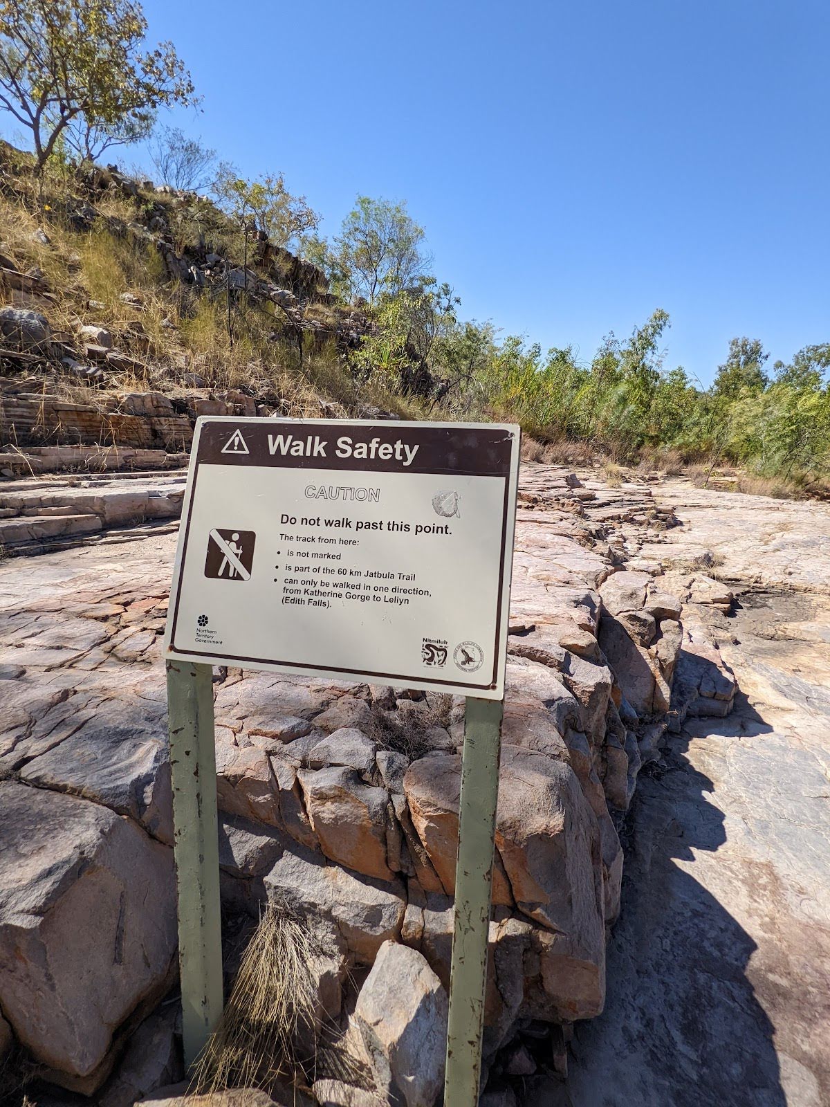
The starting point of an alternate route. An alternate route featuring multiple waterfalls (including Edith Falls), rockpools and viewpoints. Highly recommended. To take the alternate route turn left here. Details below.
|
 |
|
 |
The alternate route finishes here. Continue straight to rejoin the main route at the 15.1 km waypoint. Details below. |
| Turn map | Directions & comments |
|---|---|
 |
|
 |
|
 |
|
 |
|
 |
|
 |
|
 |
|
 |

|
|
Class 4/6 Hard track |
|---|---|
| Length | 15.1 km |
| Time | 3 h 45 min to 6 h 30 min |
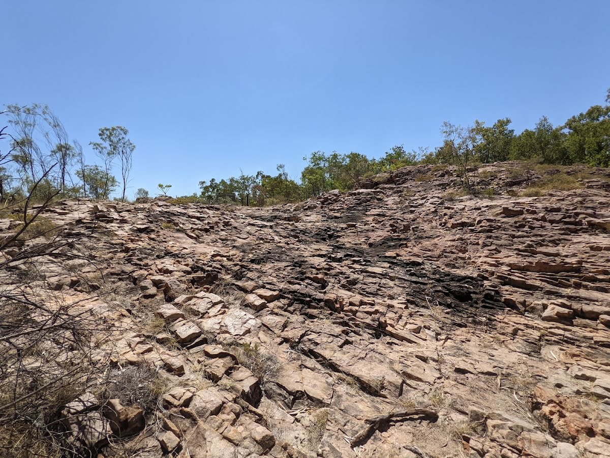
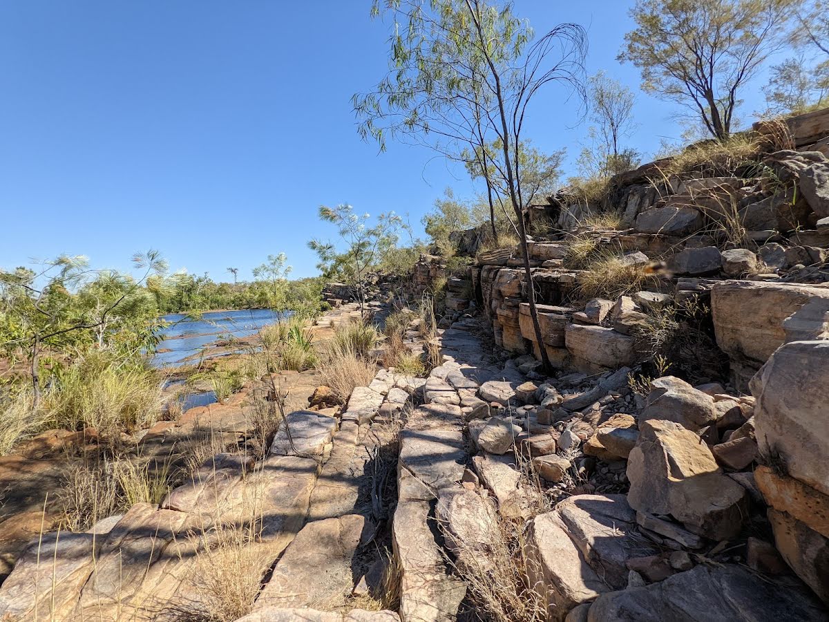
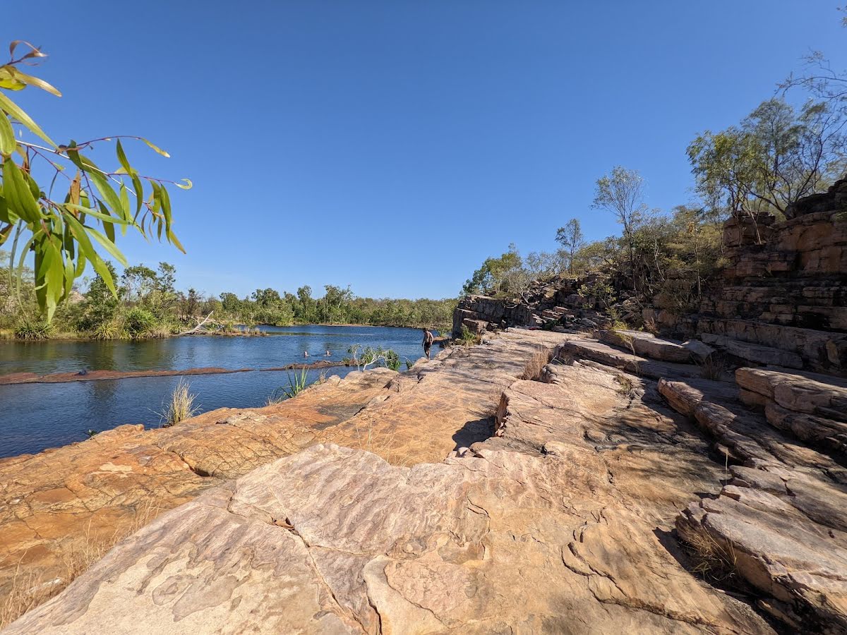
| Quality of track | Rough track, where fallen trees and other obstacles are likely (4/6) |
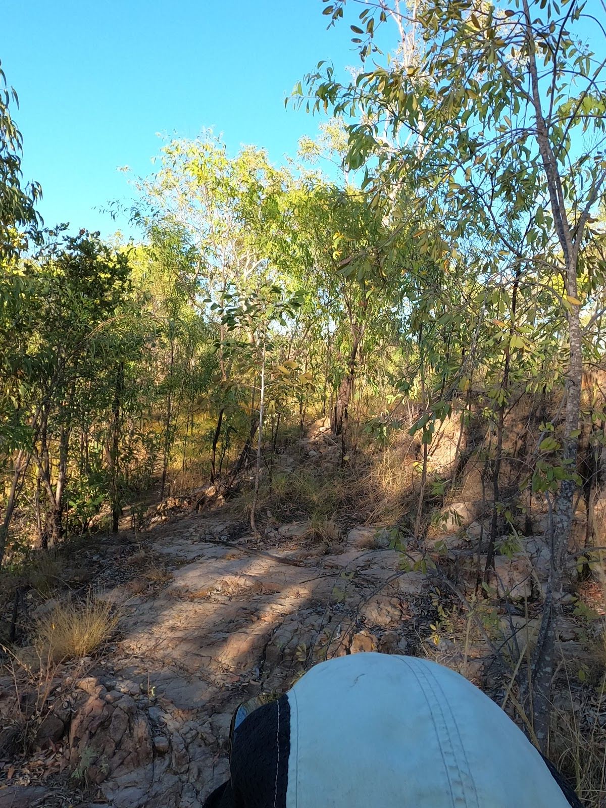
| Gradient | Gentle hills with occasional steps (2/6) |
| Signage | Clearly signposted (2/6) |
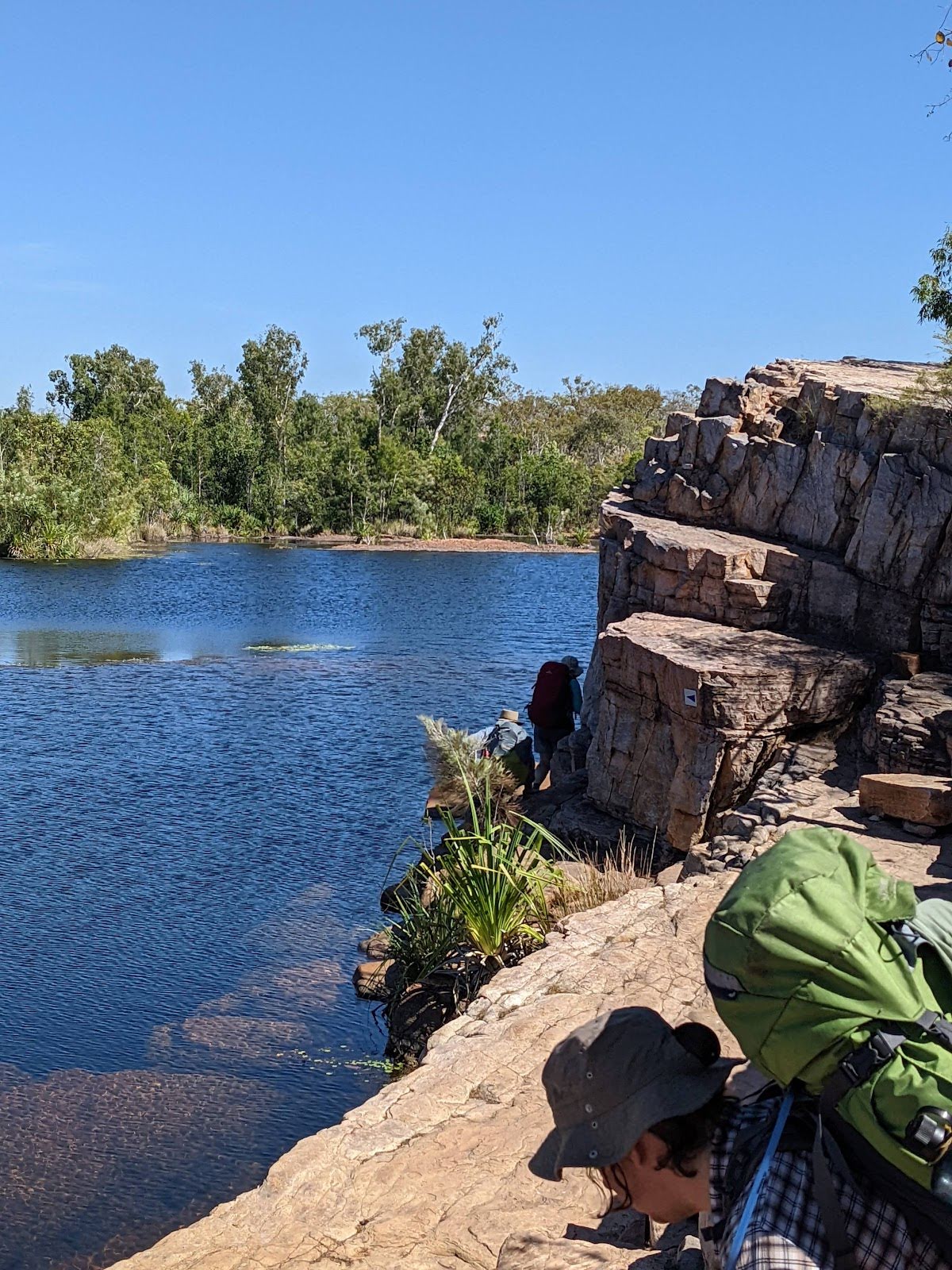
| Infrastructure | Generally useful facilities (such as fenced cliffs and seats) (2/6) |
| Experience Required | Some bushwalking experience recommended (3/6) |
| Weather | Storms may impact on navigation and safety (3/6) |
| Item | From Start | Name & link to notes |
|---|---|---|
Toilet
| 0 m | [toilet] |
Camp site
| 10.9 km | Sweetwater Camp |
Seat
| 14.5 km + 110 m | [seat] |
Seat
| 14.5 km + 185 m | [seat] |
Seat
| 14.5 km + 790 m | [seat] |
Seat
| 14.5 km + 1.4 km | [seat] |
Toilet
| 14.5 km + 1.9 km | [toilet] |
Seat
| 14.8 km | [seat] |
Seat
| 15 km | [seat] |