Bittangabee Bay to Southern Point Lookout
Yuin Country

25 min to 30 min

910 m
return

↑ 30 m
↓ -30 m

Moderate track
The walk from Bittangabee Bay to the southern point of the bay, is a walk to a nice lookout. The walk is well marked, however the informal lookout is not signposted. The lookout is a large gap in the bush along a section of the Light to Light track. The lookout gives a great view across to the black rocks on the north of the bay, and the large rock shelf below the lookout. Let us begin by acknowledging the Yuin people, Traditional Custodians of the land on which we travel today, and pay our respects to their Elders past and present. 
Show all
Bittangabee Picnic area and sign. | Photo by admin, 2009.
Back of signpost at Bittangabee Bay. | Photo by admin, 2009.
Track below road and camping area Bittangabee Bay. | Photo by admin, 2009.
Track next to Bittangabee car park. | Photo by admin, 2009.
Track through the trees. | Photo by admin, 2009.
Track around Bittangabee Bay south. | Photo by admin, 2009.
Track near clearing of the lookout. | Photo by admin, 2009.
Bittangabee South Headland Lookout. | Photo by admin, 2009.
Bittangabee South headland lookout. | Photo by admin, 2009.
Downloads GPX PDF

+
-
Safer Bushwalks
Tips on staying safe on track
Before you start any bushwalk ensure you;
• Tell someone you trust where you are going and what to do if you are overdue
• Have adequate equipment, supplies, skills & knowledge for the whole journey
• Consider the impact of weather forecasts, park/track closures & fire dangers
• Can respond to emergencies & call for help at any point
• Are healthy and fit enough for this journey
If not, change plans and stay safe. It is okay to delay and ask people for help.
+
-
Getting There
Transport options and directions
Start (-37.2167421,150.0148564)
Mode Car (A park entry fee is required for driving into the park.)
DirectionsFrom Princes Highway, A1
  • Turn on to Edrom Road then drive for 5.7 km
  • Turn right onto Green Cape Road and drive for another 11.2 km
  • Turn left onto Green Cape Road and drive for another 4.6 km
  • Turn sharp left onto Bittangabee Road and drive for another 3 km
  • Turn left onto Bittangabee Road and drive for another 150 m
+
-
Track Notes
Turn by turn instructions & maps
Getting started
From the picnic area, the walk follows the sign to 'Camping Area 500m', keeping the car park on your right. The track leads below the road (above on the right) for some time, following the arrow markers to a signposted intersection next to the log road barriers.....
Turn map Directions & comments
Start heading along Light to Light Walk.
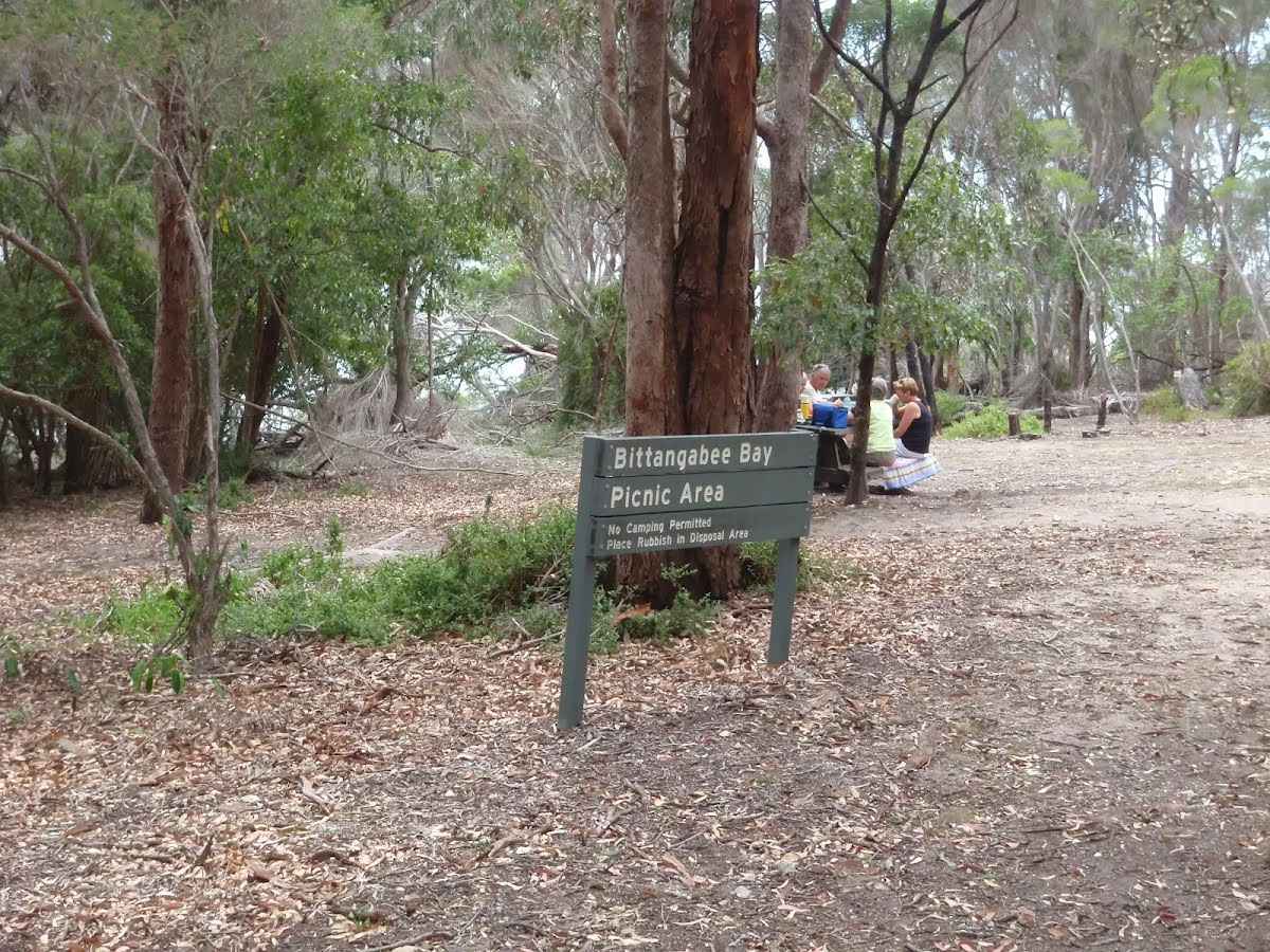
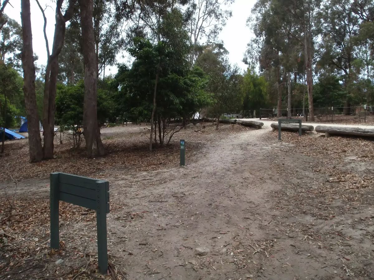
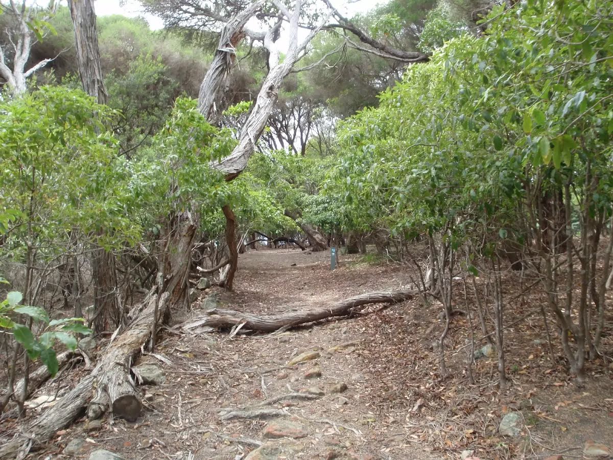
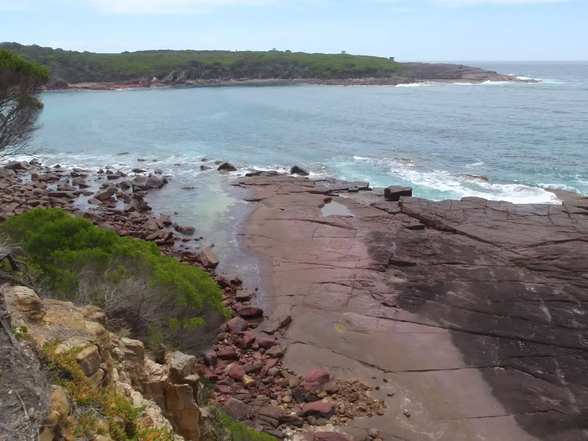
The starting point of an optional sidetrip. An optional side trip to Bittangabee Beach. To start this optional side trip turn left here. On returning from this side trip veer left when you get back to this intersection. Details below.
After another 25 m turn right, to head along Light to Light Walk.
Bittangabee Bay Picnic Area (about 7 m back from the start).
Bittangabee Bay Picnic Area

Bittangabee Bay Picnic Area is near Bittangabee Bay and camp area in Ben Boyd National Park. The picnic area is a day-use only area with a few picnic tables, an electric BBQ and a pit toilet. There is a reasonable amount of natural shade, and is close to a car park. There is short walk to the beach and ruins at Bittangabee Bay. The picnic area is well signposted on the loop road near the Bittangabee camping area.
+
-
Bittangabee Bay Picnic Area is near Bittangabee Bay and camp area in Ben Boyd National Park. The picnic area is a day-use only area with a few picnic tables, an electric BBQ and a pit toilet. There is a reasonable amount of natural shade, and is close to a car park. There is short walk to the beach and ruins at Bittangabee Bay. The picnic area is well signposted on the loop road near the Bittangabee camping area.

After another 245 m continue straight, to head along Light to Light Walk.
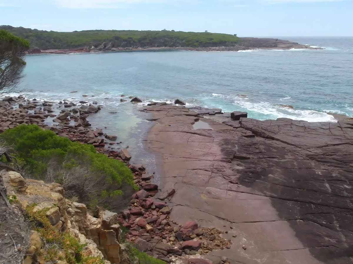
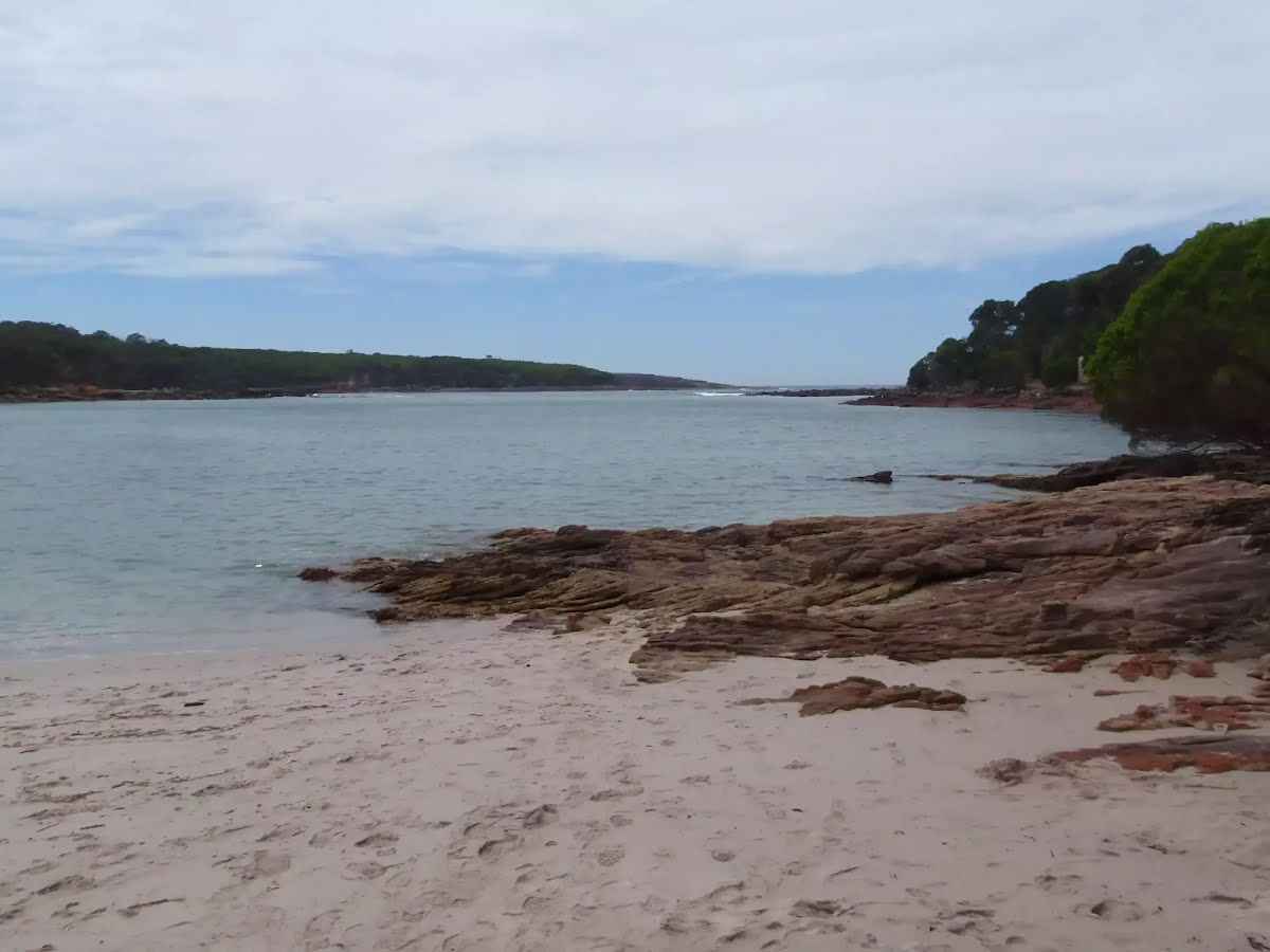
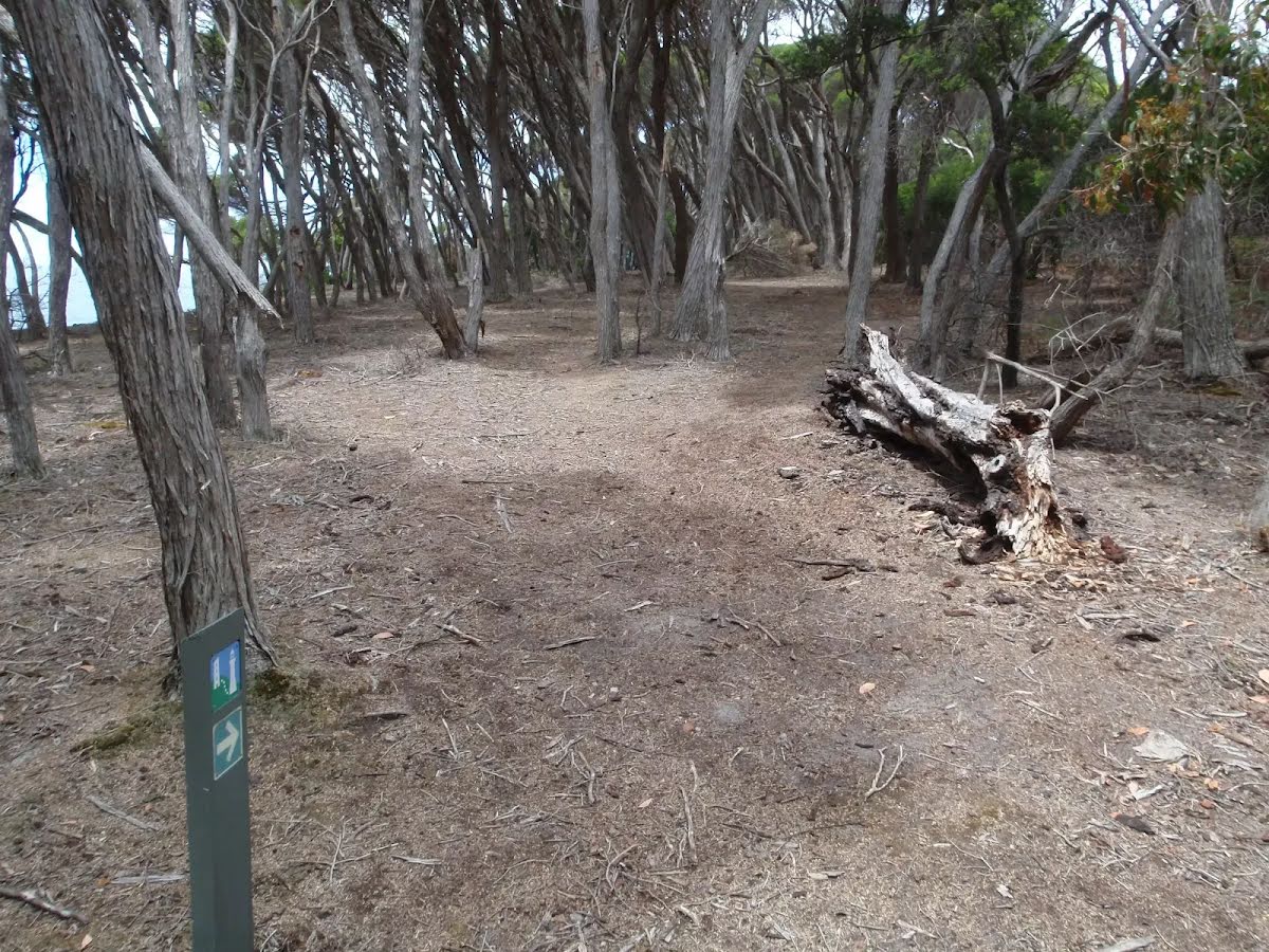
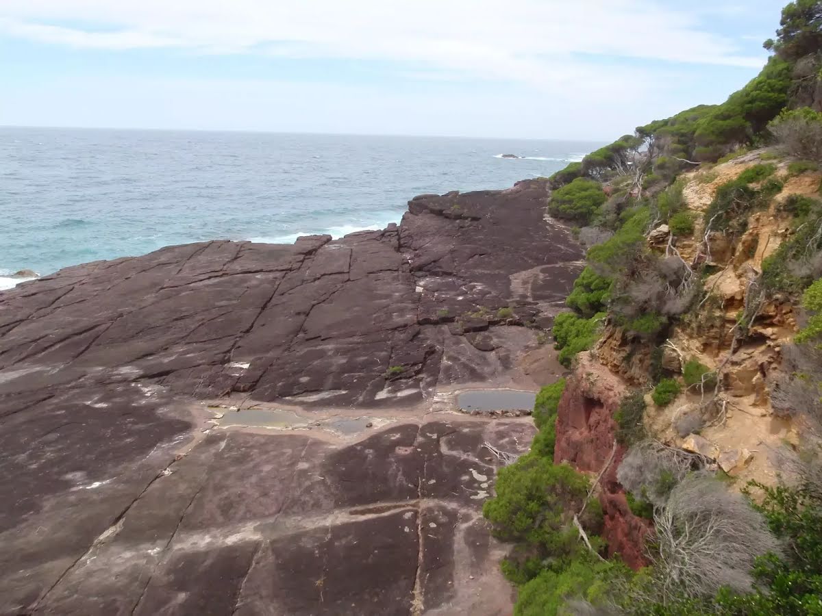
Continue another 195 m to find the end. Then turn around here and retrace the main route for 450 m to get back to the start.
About 20 m past the end is "Southern Bittangabee Point lookout".
Southern Bittangabee Point lookout

Southern Bittangabee Point lookout is an unofficial lookout on the southern headland forming the entrance to Bittangabee Bay in Ben Boyd National Park. The lookout is not fenced or signposted and does not have any facilities. The lookout provides a view across the mouth of Bittangabee Bay and a short way down the coast to the south. There is also a view of the red rock platform below, forming a picturesque contrast with the ocean on sunny days.
+
-
Southern Bittangabee Point lookout is an unofficial lookout on the southern headland forming the entrance to Bittangabee Bay in Ben Boyd National Park. The lookout is not fenced or signposted and does not have any facilities. The lookout provides a view across the mouth of Bittangabee Bay and a short way down the coast to the south. There is also a view of the red rock platform below, forming a picturesque contrast with the ocean on sunny days.


An optional side trip to Bittangabee Beach.
Turn map Directions & comments
Start.
After another 70 m come to the end.
About 15 m past the end is "Bittangabee Bay Beach".
Bittangabee Bay Beach

Bittangabee Bay Beach, Ben Boyd National Park, is a small beach at the south-western corner of the bay. The beach can be accessed by a short walk from Bittangabee picnic area in Ben Boyd National Park. The yellow sand beach has a small creek and lagoon behind. The beach also has rock platforms at each end and is fairly well-protected from swells, being tucked away in the bay. The historic storehouse is visible on the shore to the right.
+
-
Bittangabee Bay Beach, Ben Boyd National Park, is a small beach at the south-western corner of the bay. The beach can be accessed by a short walk from Bittangabee picnic area in Ben Boyd National Park. The yellow sand beach has a small creek and lagoon behind. The beach also has rock platforms at each end and is fairly well-protected from swells, being tucked away in the bay. The historic storehouse is visible on the shore to the right.

Turn around and retrace your steps back the 70 m to the main route.
+
-
Terrain
Know the Hills, grading & facilities

Bittangabee Bay to Southern Point Lookout


Grading
Class 3/6
Moderate track
Length 910 m
Time 25 min to 30 min
Quality of track Formed track, with some branches and other obstacles (3/6)
Gradient Gentle hills with occasional steps (2/6)
Signage Directional signs along the way (3/6)
Infrastructure Generally useful facilities (such as fenced cliffs and seats) (1/6)
Experience Required No experience required (1/6)
Weather Weather generally has little impact on safety (1/6)
+
-
Articles
Discover more details to thrive on track
Get more information
Wildwalks
+
-
Reviews & Feedback
Share your experience
+
-
Weather & Alerts
Check forecasts & closures
Show Full Weather
Alerts and Closures
Show all alerts
Show all alerts
Show all alerts
+
-
Other Journeys
Discover nearby and similar journeys
Some of the information and maps on this page was generated using data from the awesome © OpenStreetMap contributors.
Please see how you can embed some widgets, access data and other stuff to that might be helpful.