
| Start | (-20.5670861,134.2642271) |
| Mode | Car |
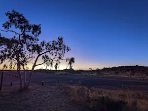
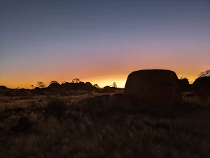
| Directions | From Stuart Highway, 87
|
| Turn map | Directions & comments |
|---|---|
 |
|
 |
|
 |
|
 |
|
 |
|
 |
|
 |
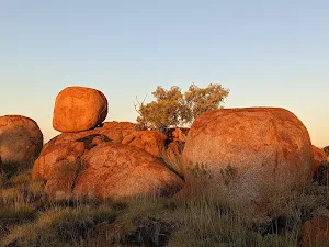
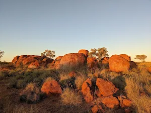
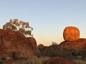
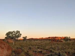
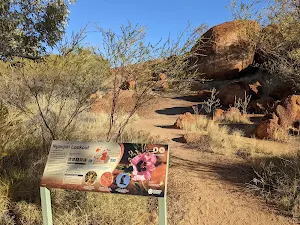
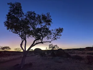
The starting point of an optional sidetrip. This side trip takes you to the Niyanjiki Lookout where you can get better views over the surrounding land. To start this optional side trip turn right here. On returning from this side trip turn sharp right when you get back to this intersection. Details below.
|
 |
| Turn map | Directions & comments |
|---|---|
 |
|
 |

|
|
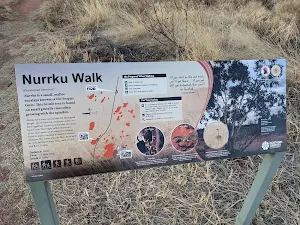
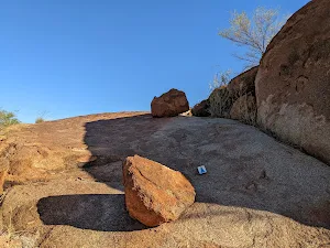
Class 2/6 Easy track |
|---|---|
| Length | 3.2 km |
| Time | 45 min to 1 h 15 min |
| Quality of track | Clear and well formed track or trail (2/6) |
| Gradient | Gentle hills with occasional steps (2/6) |
| Signage | Clearly signposted (2/6) |
| Infrastructure | Generally useful facilities (such as fenced cliffs and seats) (2/6) |
| Experience Required | No experience required (2/6) |
| Weather | Weather generally has little impact on safety (2/6) |
| Item | From Start | Name & link to notes |
|---|---|---|
Shelter
| -18 m | [shelter] |
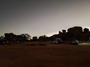
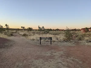
Camp site
| 0 m | [camp site] |
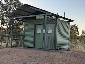
Toilet
| 2.7 km | [toilet] |
Shelter
| 2.7 km | [shelter] |
Toilet
| 3.2 km | [toilet] |