


| Start | (-31.5270841,138.6056354) |
| Mode | Car |
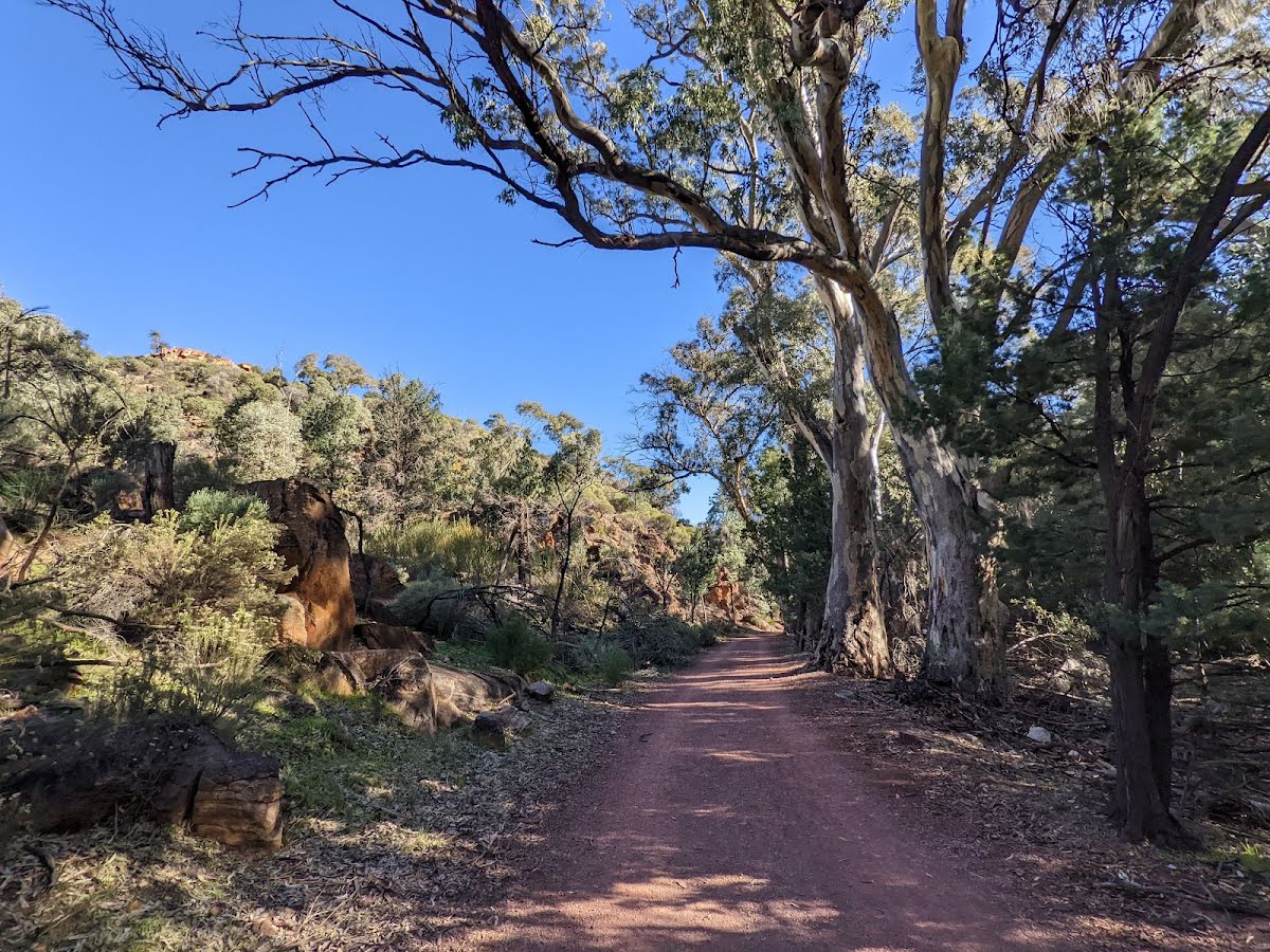
| Directions | From Augusta Highway, Stirling North.
|
| Turn map | Directions & comments |
|---|---|
 |
|
 |
|
 |
|
 |
|
 |
|
 |
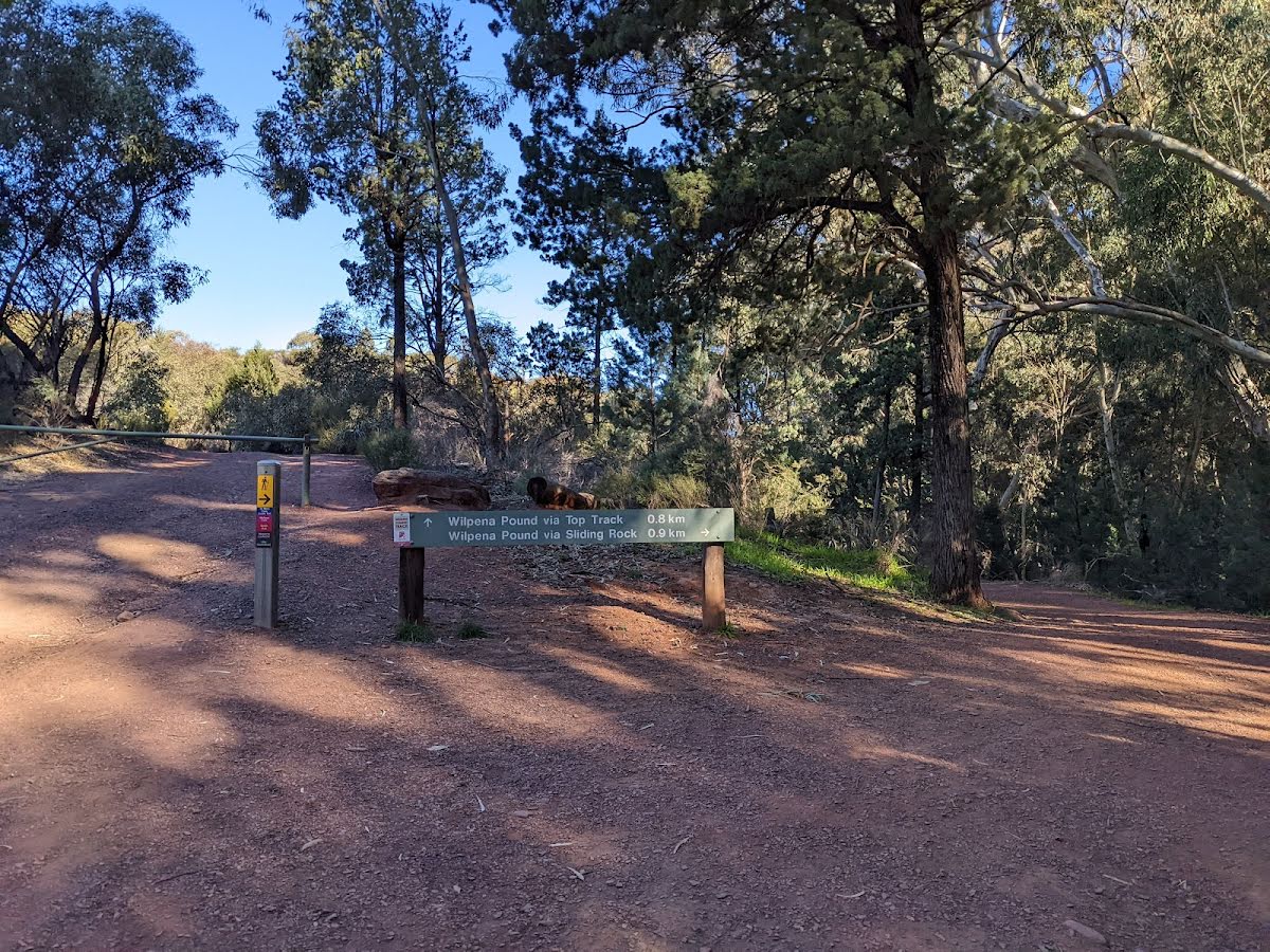
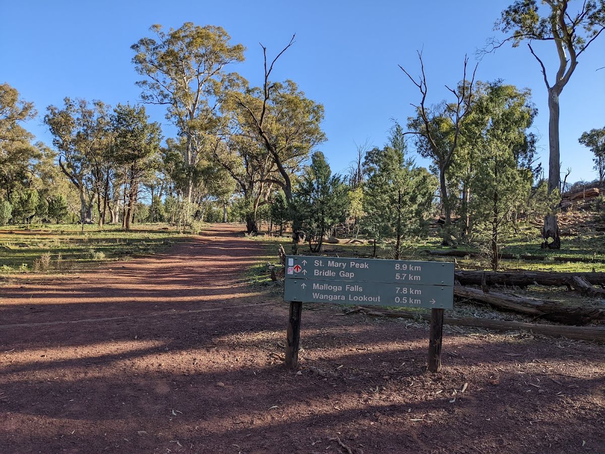
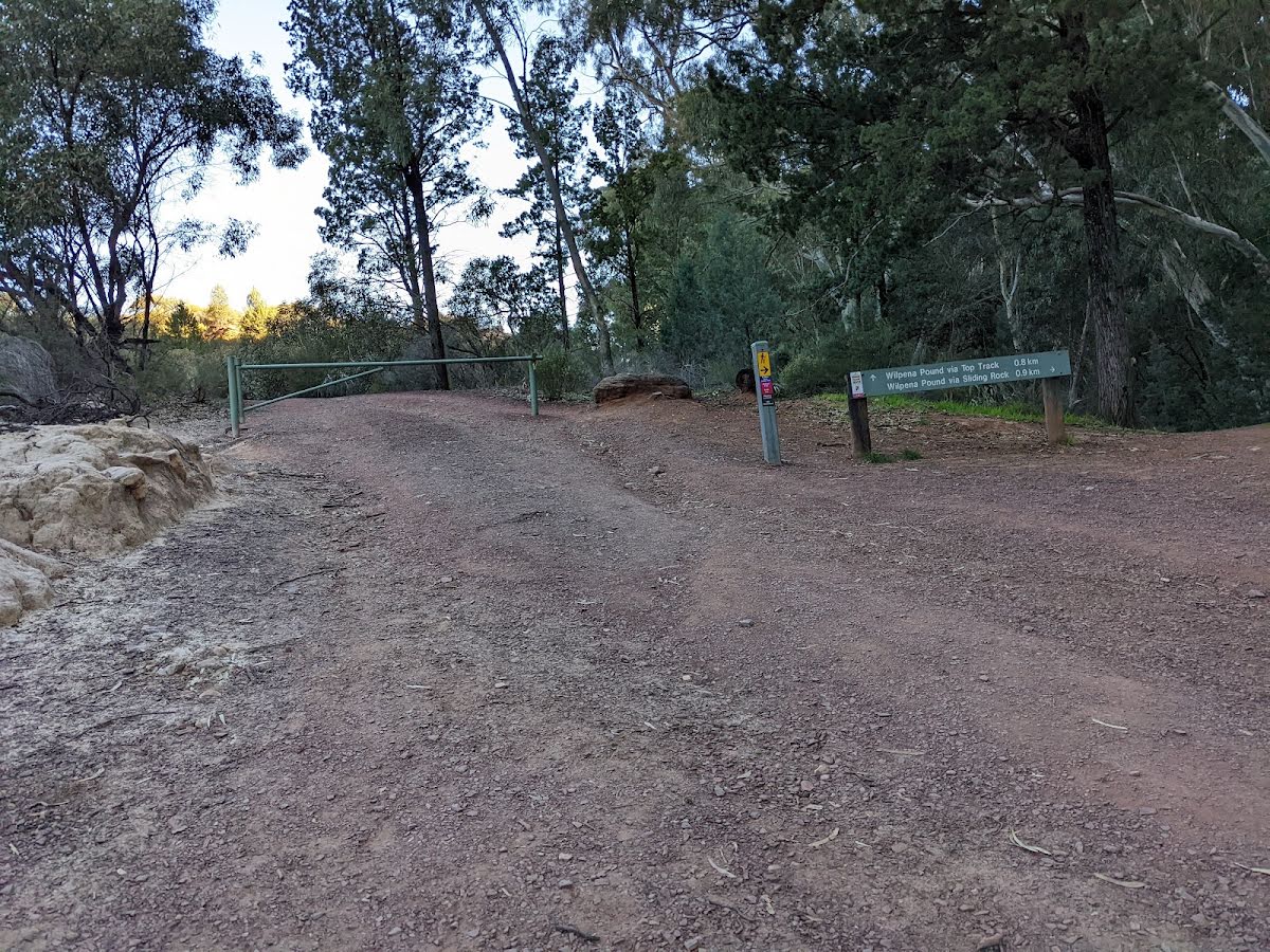
The starting point of an alternate route. An alternate, less challenging route via a fire trail, skipping Sliding Rock. To take the alternate route turn left here. Details below.
|
 |
The alternate route finishes here. Continue straight to rejoin the main route at the 3.1 km waypoint. Details below.
|
 |
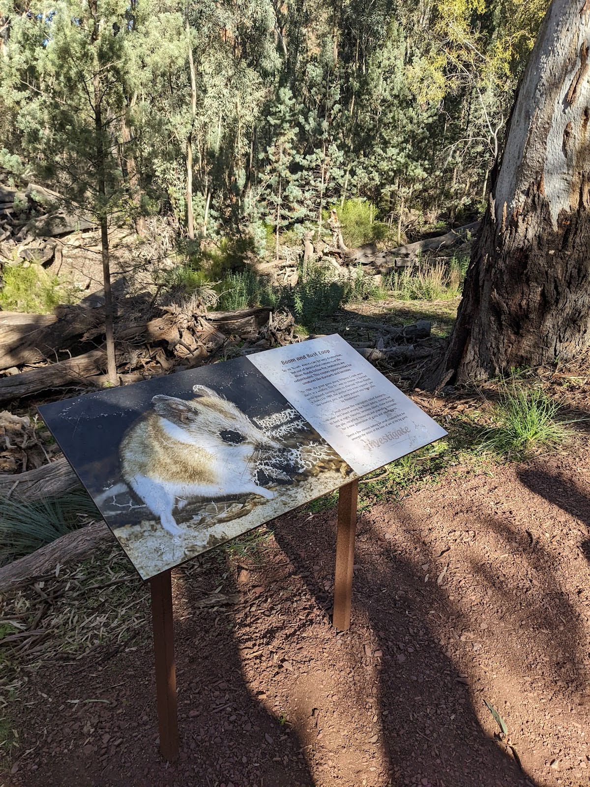
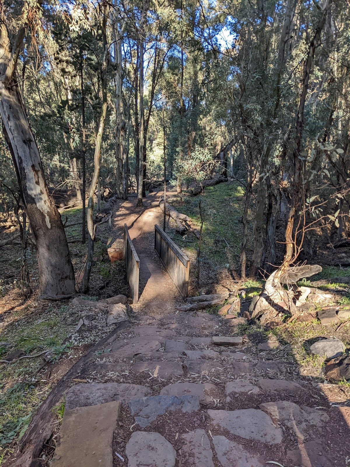
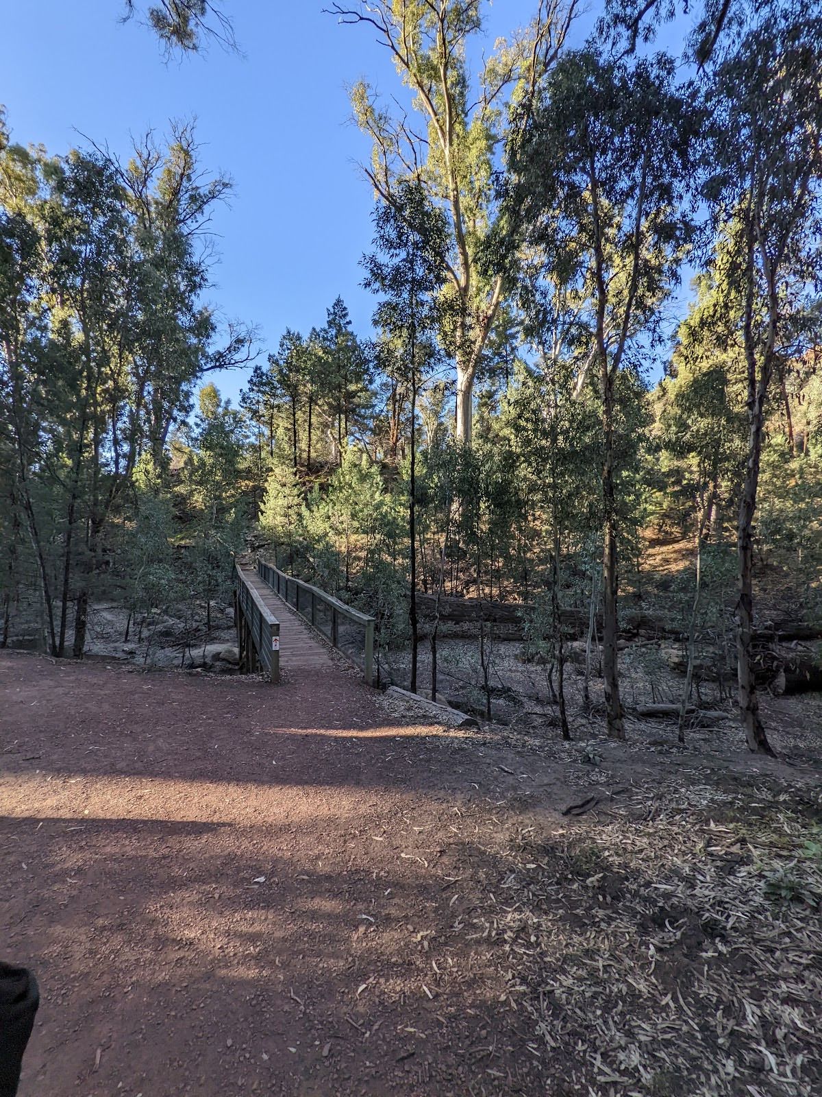
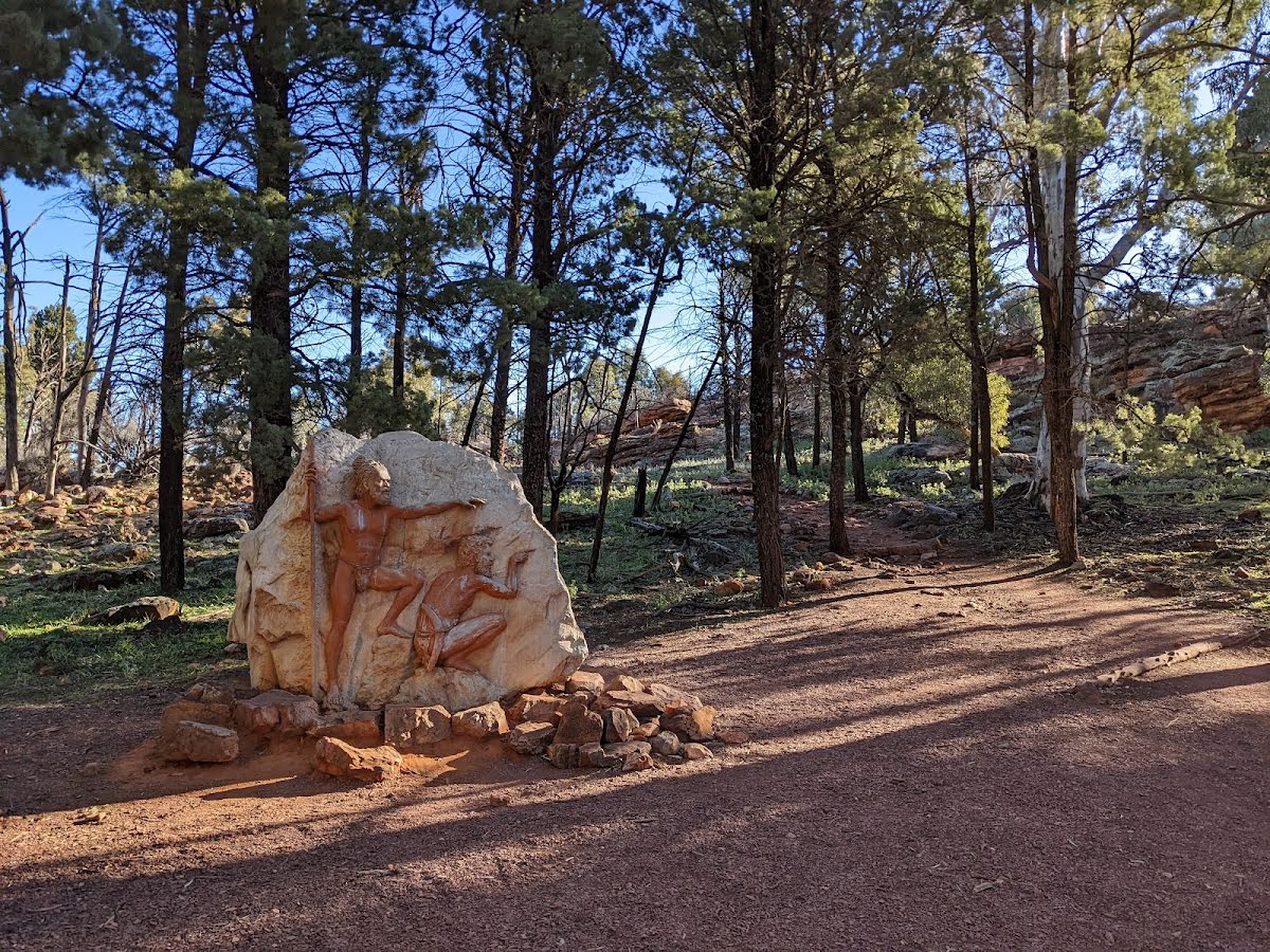
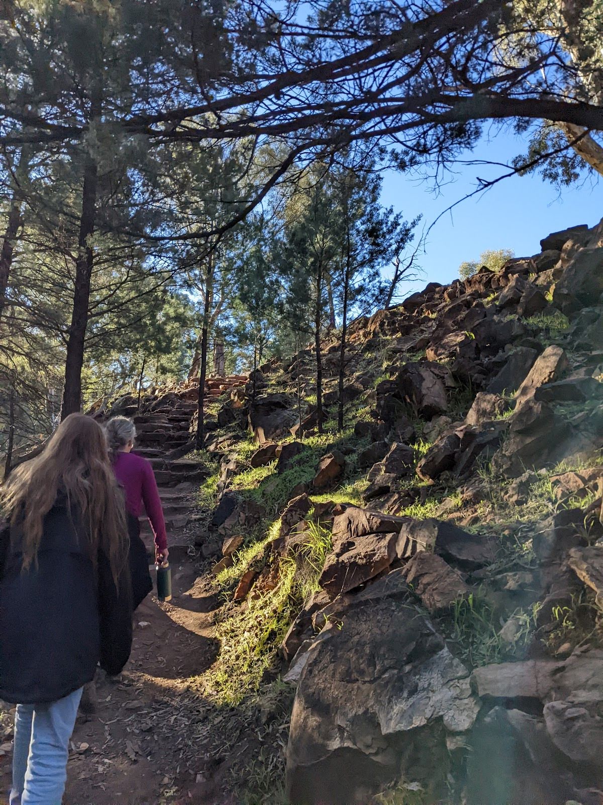
The starting point of an optional sidetrip. This optional side trip takes you to the Lower Lookout on the Wangara Lookout Hike. You can continue further north if you have the energy and time to visit the other lookouts. Watch out for an excellent carving on a large rock at the start of the side trip if you do so. To start this optional side trip continue straight here. On returning from this side trip turn sharp right when you get back to this intersection. Details below.
|
| Turn map | Directions & comments |
|---|---|
 |
|
 |
| Turn map | Directions & comments |
|---|---|
 |
|
 |
|
 |

|
|
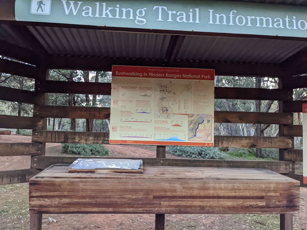
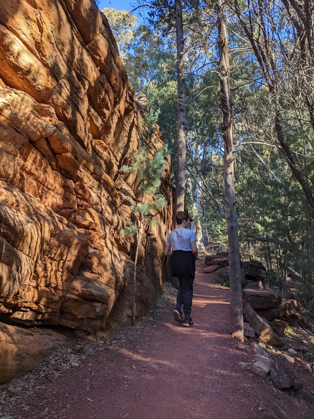
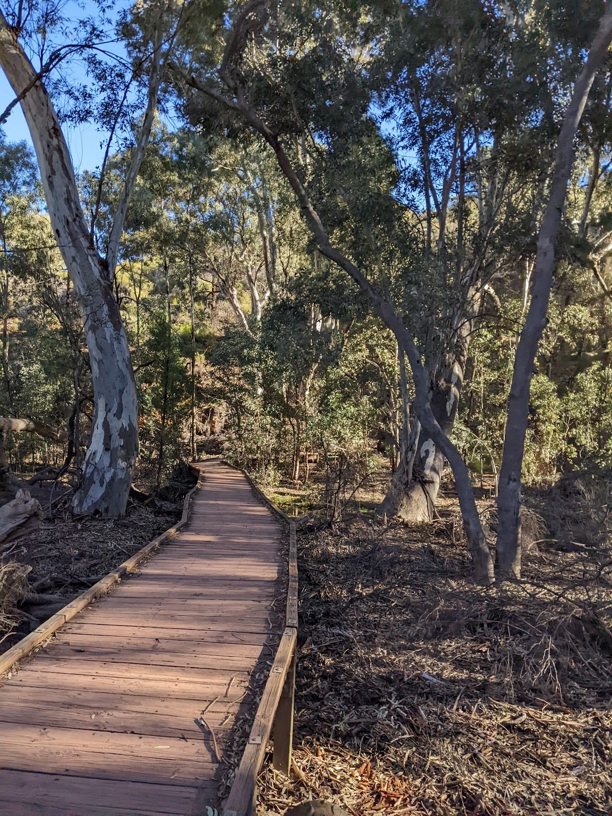
Class 2/6 Easy track |
|---|---|
| Length | 6.7 km |
| Time | 1 h 45 min to 3 h |
| Quality of track | Clear and well formed track or trail (2/6) |
| Gradient | Gentle hills with occasional steps (2/6) |
| Signage | Clearly signposted (2/6) |
| Infrastructure | Generally useful facilities (such as fenced cliffs and seats) (1/6) |
| Experience Required | No experience required (2/6) |
| Weather | Weather generally has little impact on safety (1/6) |
| Item | From Start | Name & link to notes |
|---|---|---|
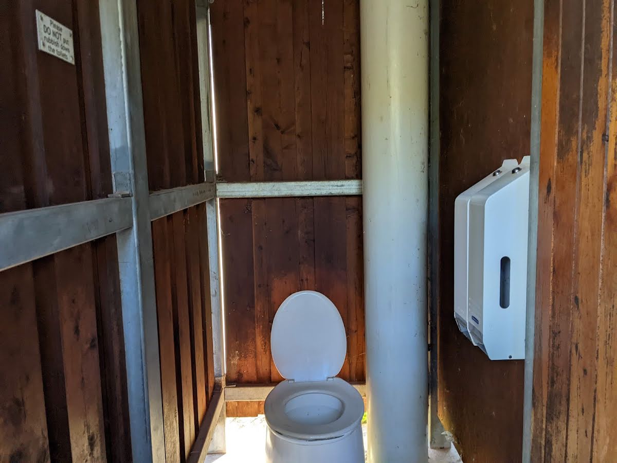
Toilet
| -62 m | [toilet] |
Camp site
| 210 m | Wilpena Pound Campground |
Camp site
| 345 m | Wilpena Pound Resort Campground |
Toilet
| 3.4 km | [toilet] |