| Turn map |
Directions & comments |
|
|

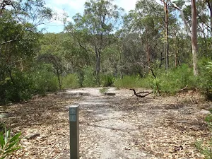
Start.

Then cross the bridge (about 60 m long)
 Continue straight
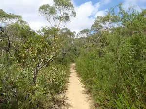
.

Waterfall Commuter Carpark (about 25 m back from the start).
|
|
|
After another 680 m continue straight, to head along Warabin Street.
|
|
|

After another 180 m (at the intersection of Warabin Street & Warabin Street Fire Trail) veer left, to head along Warabin Street Fire Trail (a vehicle track).

After another 40 m head through/around the gate.
|
|
|

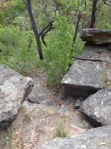
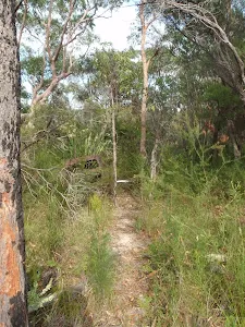
After another 40 m (at the intersection of Warabin Street Fire Trail & Bullawarring Track) turn left, to head along Bullawarring Track (a walking track).
|
|
|
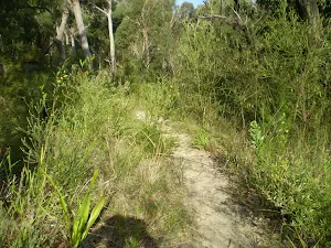
After another 180 m veer left, to head along Bullawarring Track.
|
|
|

After another 75 m (at the intersection of Lake Toolooma Fire Trail & Bullawarring Track) turn right, to head along Lake Toolooma Fire Trail (a vehicle track).
After another 15 m (at the intersection of Lake Toolooma Fire Trail & Bullawarring Track) turn left, to head along Bullawarring Track (a walking track).
|
|
|
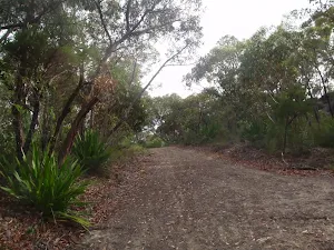
After another 390 m (at the intersection of 108 Management Trail & Bullawarring Track) turn left, to head along 108 Management Trail (a vehicle track).

After another 15 m cross the ford.
|
|
|
At the intersection of Bullawarring Track & 108 Management Trail turn right, to head along Bullawarring Track (a walking track).
|
|
|
After another 870 m turn right.

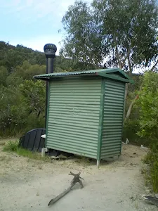
After another 40 m pass the toilet (10 m on your right).

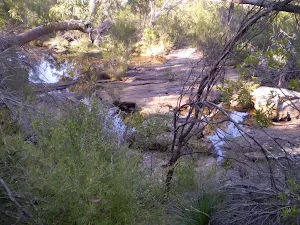
After another 35 m pass the waterfall (15 m on your right).
|
|
|

After another 4 m veer right, to head along Bullawarring Track.
|
|
|
After another 880 m (at the intersection of Mooray Track & Bullawarring Track) continue straight, to head along Bullawarring Track.

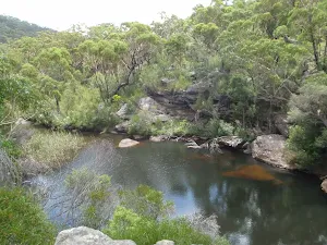
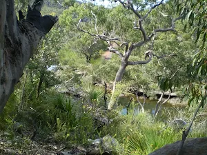
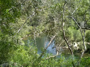
After another 620 m come to the viewpoint.
After another 410 m continue straight, to head along Bullawarring Track.
|
|
|
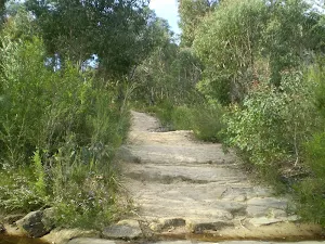
After another 40 m veer right, to head along Bullawarring Track.
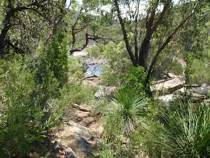
After another 250 m come to the viewpoint.
After another 215 m come to the "Marks Lookout" (on your left).
|
|
|
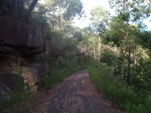
After another 870 m (at the intersection of Bullawarring Track & Goanna Track) turn right, to head along Bullawarring Track.
|
|
|
After another 690 m continue straight, to head along Bullawarring Track.
|
|
|
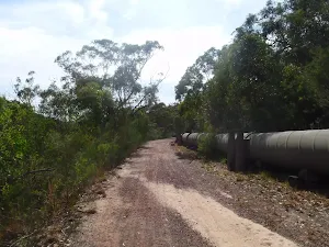
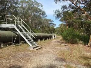
After another 700 m (at the intersection of Pipeline Trail & Bullawarring Track) turn right, to head along Pipeline Trail (a vehicle track).
Then cross the bridge (about 20 m long)
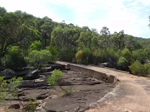
Then cross the "Battery Causeway".

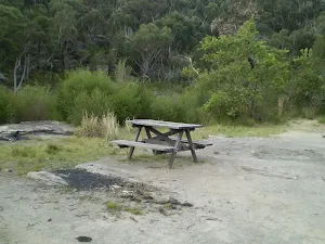
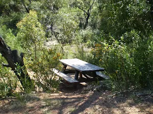
After another 90 m pass a seat (7 m on your left)., has no backrest.
After another 55 m cross the bridge (about 10 m long)
|
|
|
After another 840 m (at the intersection of Pipeline Trail & Mirang Road Trail) continue straight, to head along Pipeline Trail.
After another 45 m pass a seat (9 m on your right)., has no backrest.
Then cross the bridge (about 10 m long)
After another 100 m cross the bridge (about 6 m long)
|
|
|
After another 200 m continue straight, to head along Pipeline Trail.

After another 35 m find the "Mirang Pool camping ground" (9 m on your left).
After another 380 m continue straight, to head along Pipeline Trail.
After another 95 m cross the bridge (about 20 m long)
|
|
|
After another 225 m (at the intersection of Pipeline Trail & Eddies Lookout Track) continue straight, to head along Pipeline Trail.
|
|
|
After another 150 m (at the intersection of Friendly Trail & Pipeline Trail) turn right, to head along Friendly Trail (a walking track).
After another 8 m cross the bridge (about 10 m long)
|
|
|
After another 335 m turn left.
|
|
|
After another 100 m turn left.
|
|
|
After another 165 m continue straight.
After another 140 m head through/around the gate.
|
|
|
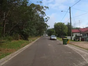
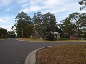
At the intersection of Freeman Road & Bella Vista Street turn right, to head along Freeman Road (a residential road).
|
|
|
After another 170 m (at the intersection of Friendly Trail & Freeman Road) continue straight, to head along Freeman Road.
|
|
|
After another 155 m (at the intersection of Boundary Road & Freeman Road) turn left, to head along Boundary Road.
|
|
|
After another 120 m (at the intersection of Oliver Street & Boundary Road) turn right, to head along Oliver Street (a road).
|
|
|
After another 90 m (at the intersection of Oliver Street & Spring Lane) continue straight, to head along Oliver Street.
|
|
|
After another 95 m (at the intersection of Martin Street & Oliver Street) continue straight, to head along Oliver Street.
After another 80 m (at the intersection of Oliver Street & Oliver Lane) continue straight, to head along Oliver Street.
|
|
|
After another 80 m (at the intersection of Rosebery Street & Oliver Street) continue straight, to head along Oliver Street.
|
|
|
After another 90 m (at the intersection of Oliver Street & Heath Lane) continue straight, to head along Oliver Street.

After another 40 m pass the restaurant (15 m on your left).
|
|
|
After another 20 m (at the intersection of Oliver Street & Princes Highway) continue straight, to head along Oliver Street.
After another 10 m (at the intersection of Princes Highway & Oliver Street) turn left, to head along Princes Highway (a highway|trunk).

After another 50 m come to the end.
About 60 m past the end is a toilet.
About 15 m past the end is a car park.
|