

| Segment |
|
| Start | At the intersection of Promenade Road & Greycliffe Avenue (-33.8508408,151.2685607) |
| Mode | Bus Car (There is free parking available.) |
| Directions | From New South Head Road, Vaucluse.
|
| Finish | (-33.8634613,151.2695342) |
| Mode (end) |
| Turn map | Directions & comments |
|---|---|
 |
|
 |
|
 |
|
 |
|
 |
|
 |
|
 |
|
 |
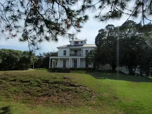
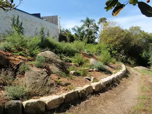
The starting point of an optional sidetrip. Optional sidetrip to Strickland House. To start this optional side trip turn sharp left here. On returning from this side trip turn left when you get back to this intersection. Details below.
|
 |
|
 |
The starting point of an optional sidetrip. Optional sidetrip to Strickland House. To start this optional side trip turn right here. On returning from this side trip turn left when you get back to this intersection. Details below.
|
 |
|
 |
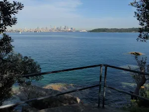
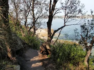
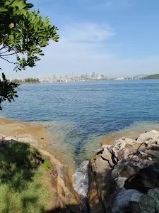
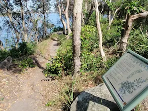
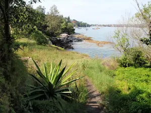
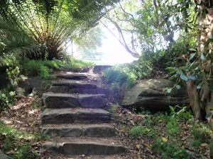
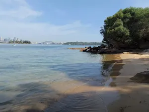
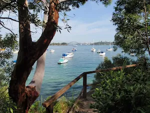
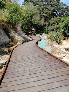
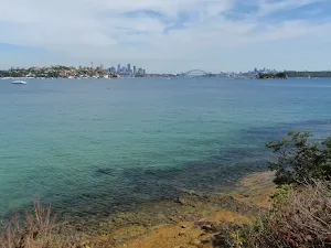
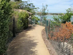
After another 350 m (at the intersection of Hermitage Foreshore Walk & Fishermans track) turn right, to head along Hermitage Foreshore Walk.
|
 |
|
 |
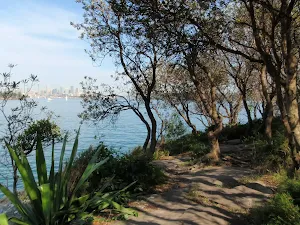
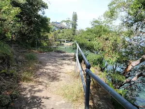
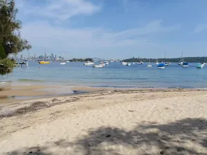
After another 185 m (at the intersection of Hermitage Foreshore Walk & Tingara Avenue) continue straight, to head along Hermitage Foreshore Walk.
|
 |
|
 |
| Turn map | Directions & comments |
|---|---|
 |
|
 |
|
 |

|
|
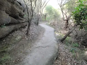
Class 3/6 Moderate track |
|---|---|
| Length | 2.2 km |
| Time | 50 min to 1 h |
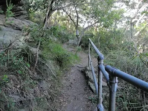
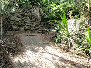
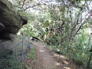
| Quality of track | Formed track, with some branches and other obstacles (3/6) |
| Gradient | Short steep hills (3/6) |
| Signage | Clearly signposted (1/6) |
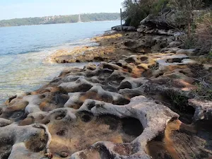
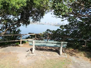
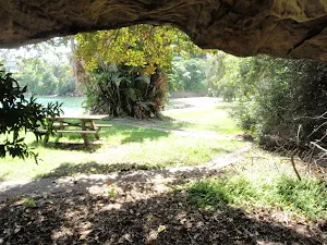
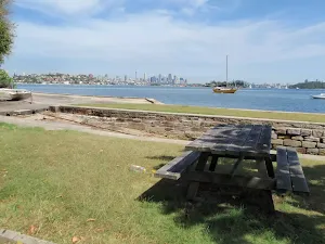
| Infrastructure | Generally useful facilities (such as fenced cliffs and seats) (1/6) |
| Experience Required | No experience required (1/6) |
| Weather | Storms may impact on navigation and safety (3/6) |
| Item | From Start | Name & link to notes |
|---|---|---|
Toilet
| 90 m | [toilet] |
Toilet
| 200 m | [toilet] |
Toilet
| 215 m | [toilet] |
Toilet
| 335 m | Public Toilets |
Toilet
| 335 m | [toilet] |
Seat
| 2.1 km | [seat] |