
| Start | (-13.2027182,130.7138493) |
| Mode | Car |
| Directions | From Stuart Highway
|
| Turn map | Directions & comments |
|---|---|
 |
|
 |
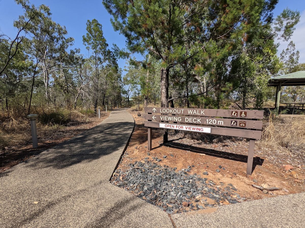
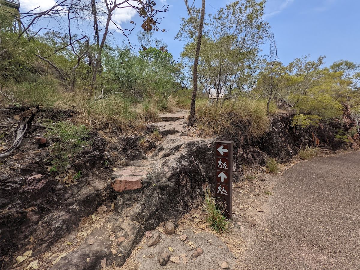
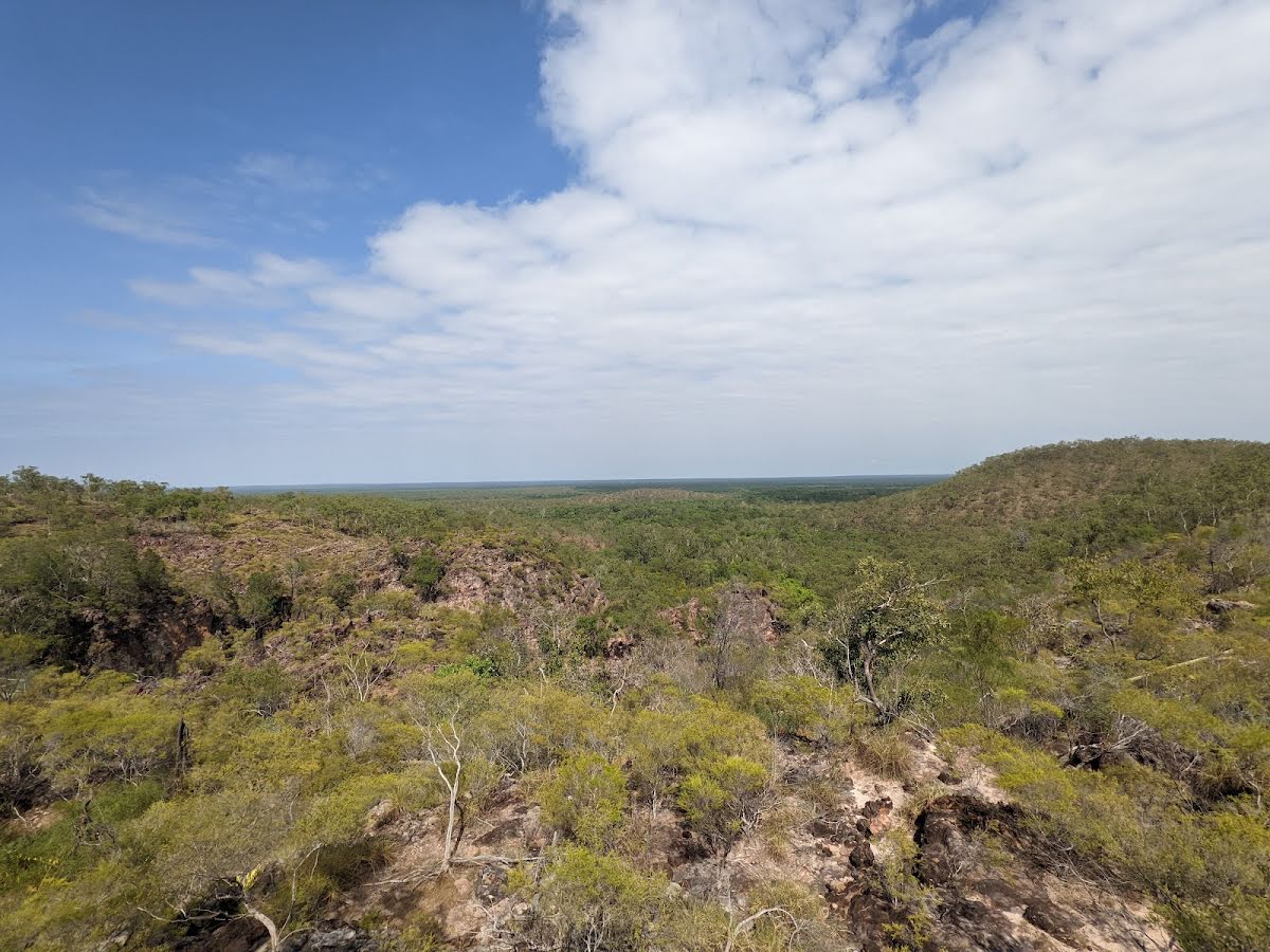
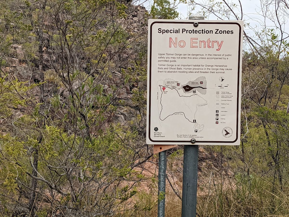
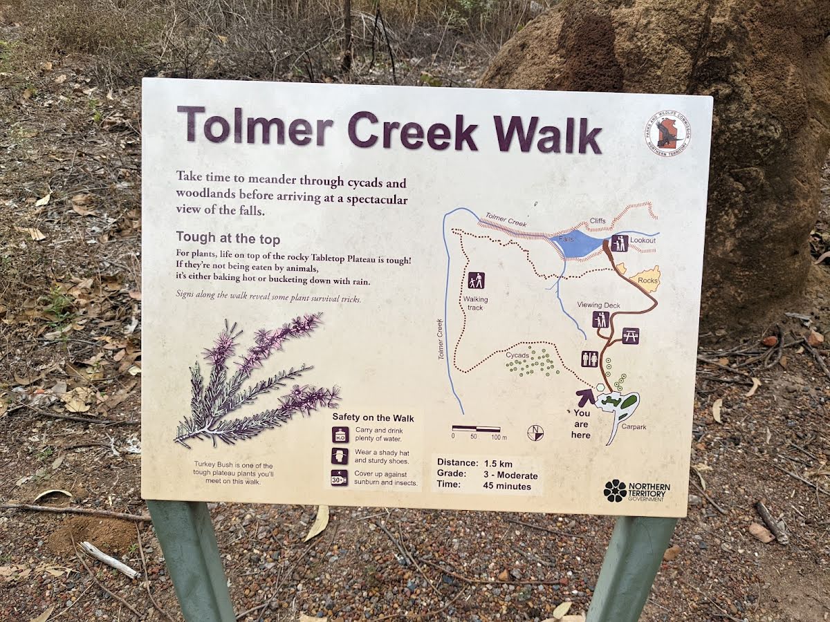
The starting point of an optional sidetrip. This side trip takes you to the upper lookout. To start this optional side trip veer left here. On returning from this side trip turn left when you get back to this intersection. Details below.
|
 |
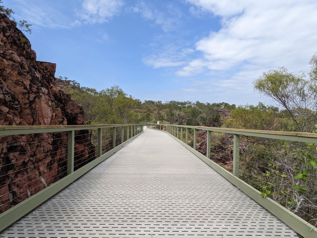
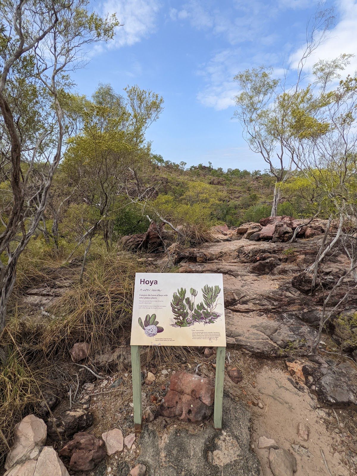
The starting point of an optional sidetrip. This side trip takes you to Tolmer Falls Lookout (lower one) via a boardwalk. To start this optional side trip continue straight here. On returning from this side trip turn right when you get back to this intersection. Details below.
|
 |
|
 |
| Turn map | Directions & comments |
|---|---|
 |
|
 |
| Turn map | Directions & comments |
|---|---|
 |
|
 |

|
|
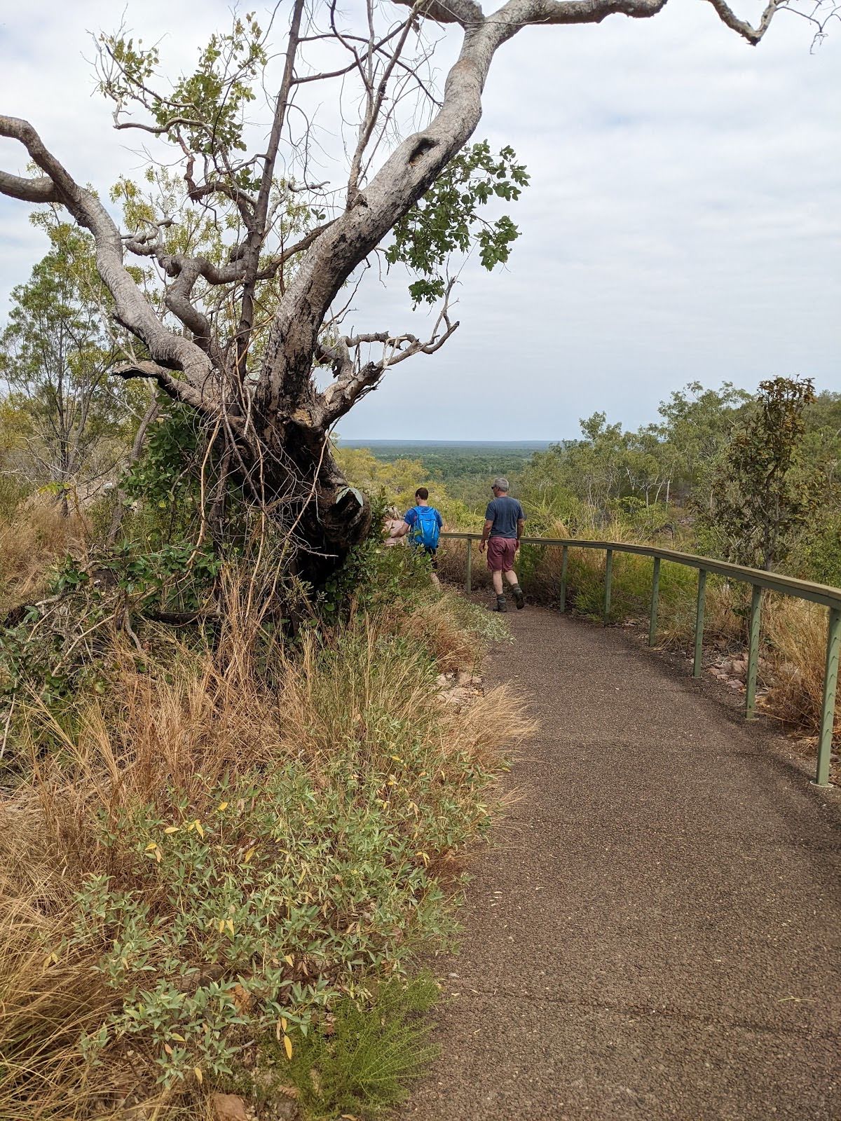
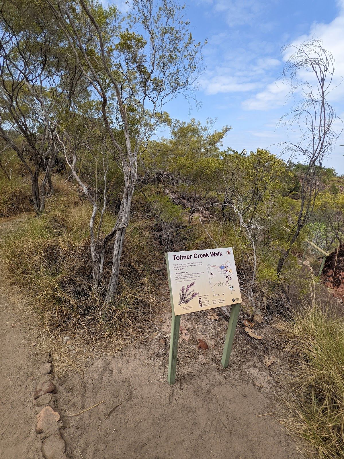
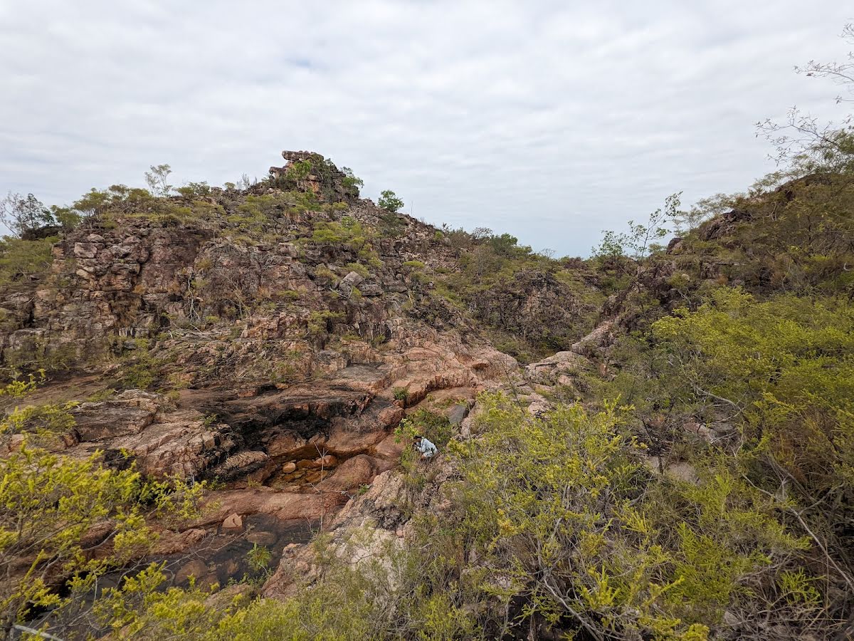
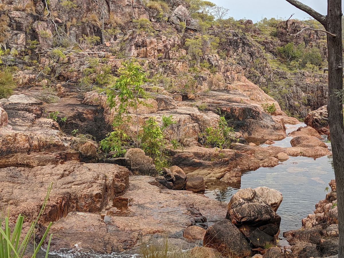
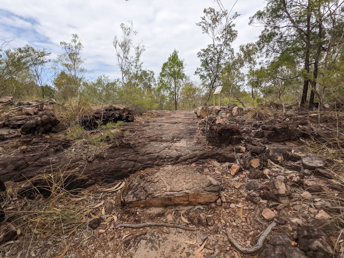
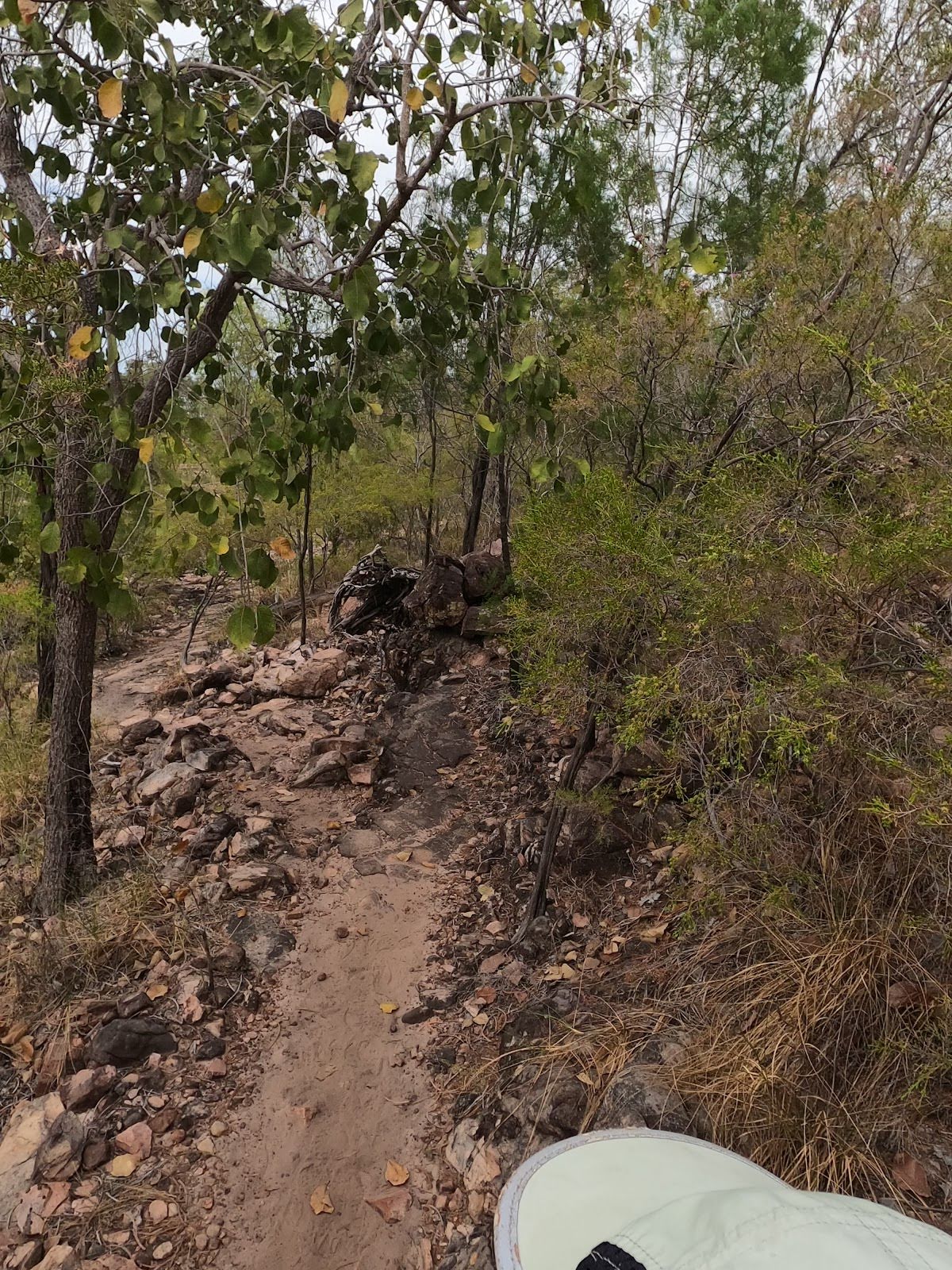
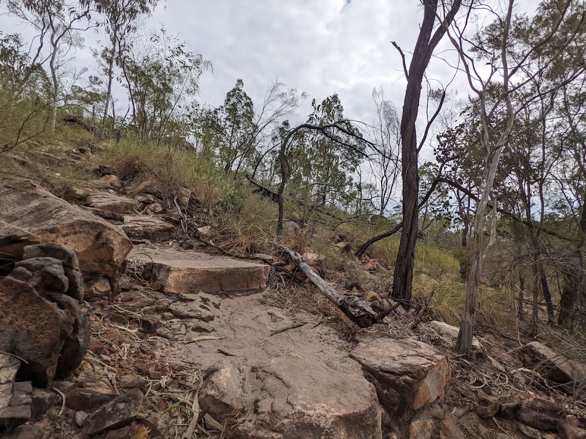
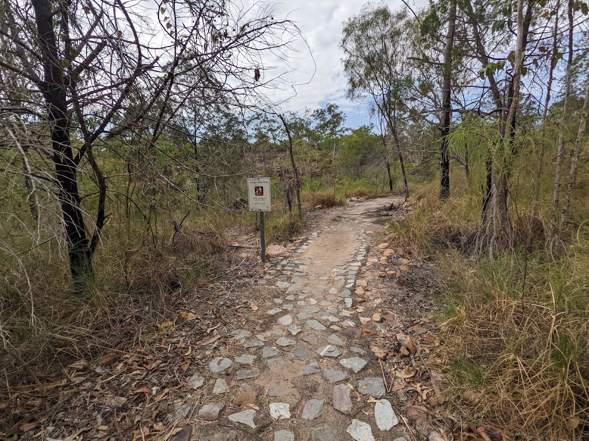
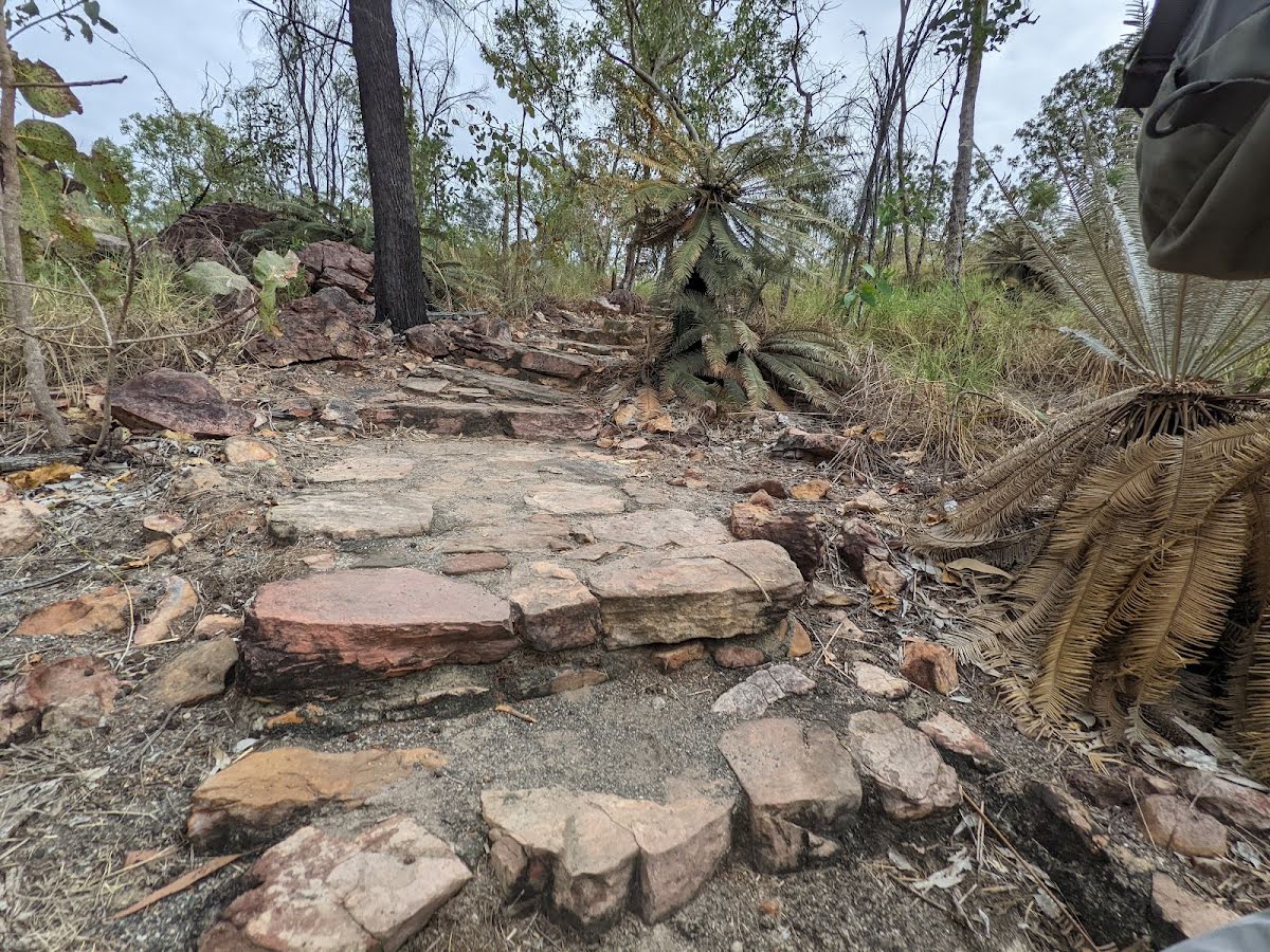
Class 3/6 Moderate track |
|---|---|
| Length | 1.4 km |
| Time | 20 min to 40 min |
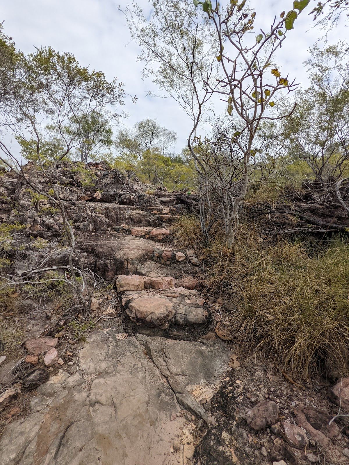
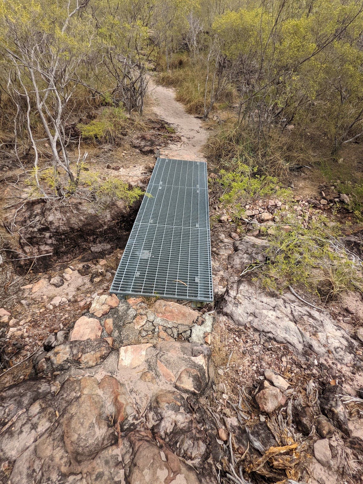
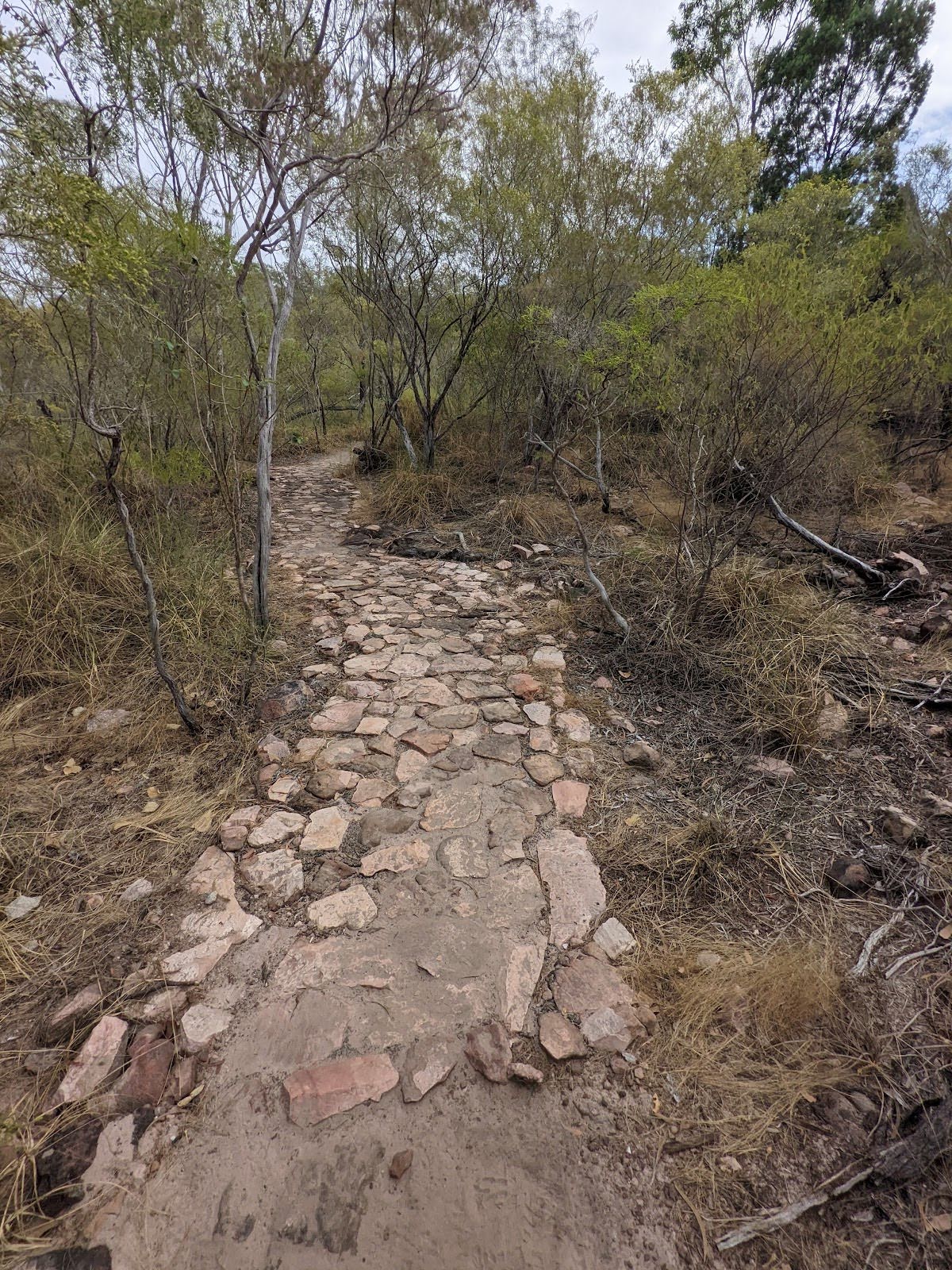
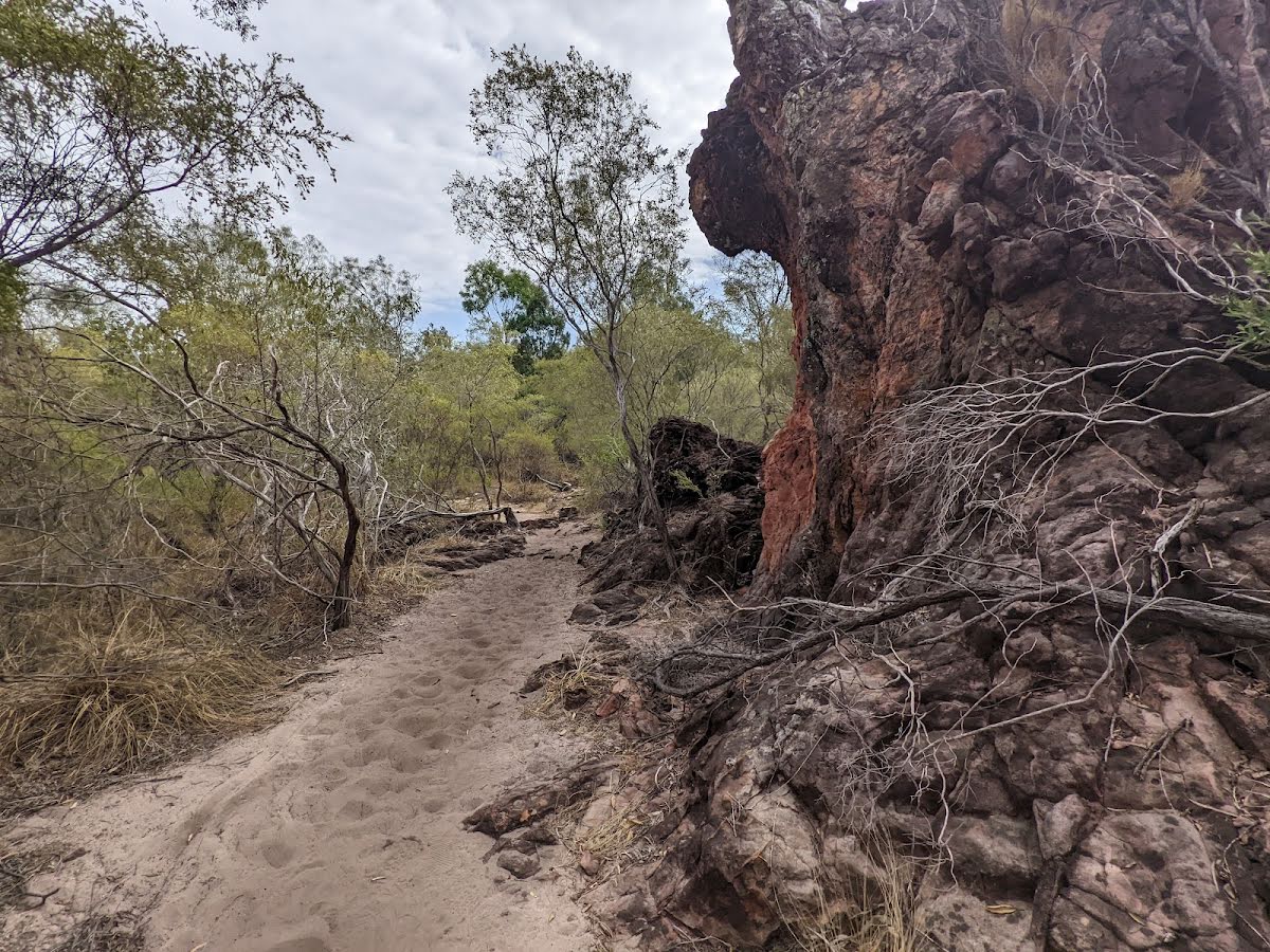
| Quality of track | Formed track, with some branches and other obstacles (3/6) |
| Gradient | Gentle hills with occasional steps (2/6) |
| Signage | Clearly signposted (2/6) |
| Infrastructure | Limited facilities, not all cliffs are fenced (3/6) |
| Experience Required | No experience required (2/6) |
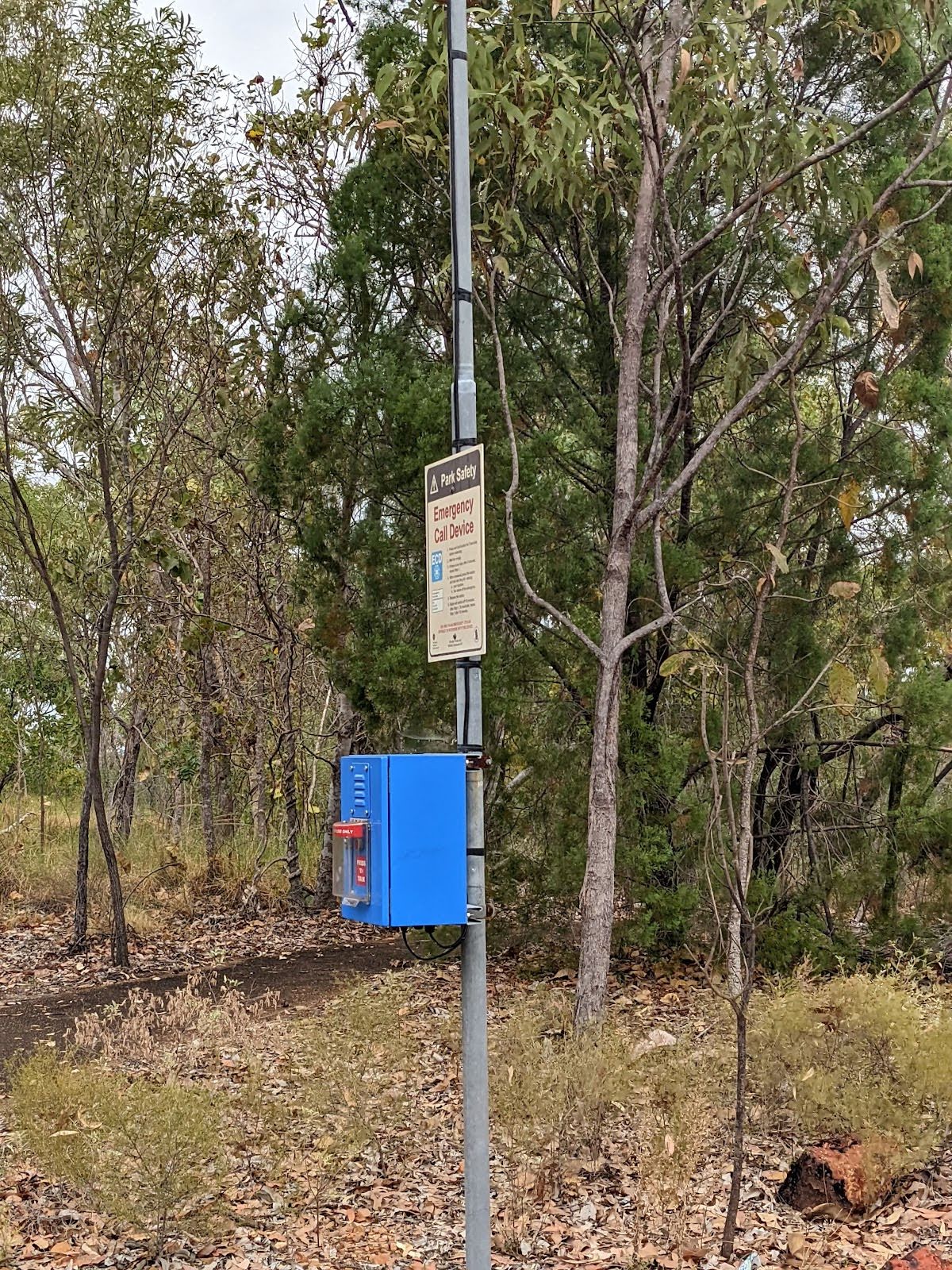
| Weather | Storms may impact on navigation and safety (3/6) |
| Item | From Start | Name & link to notes |
|---|---|---|
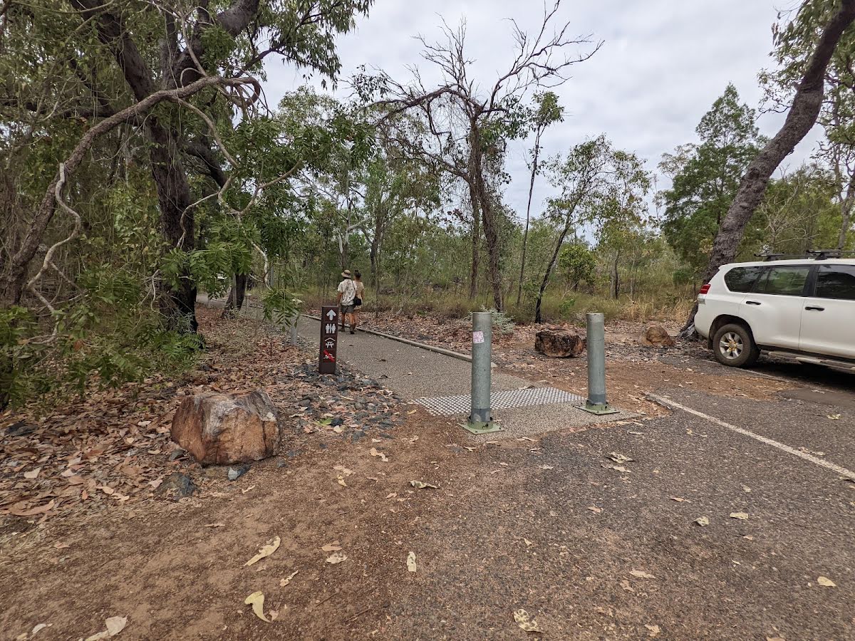
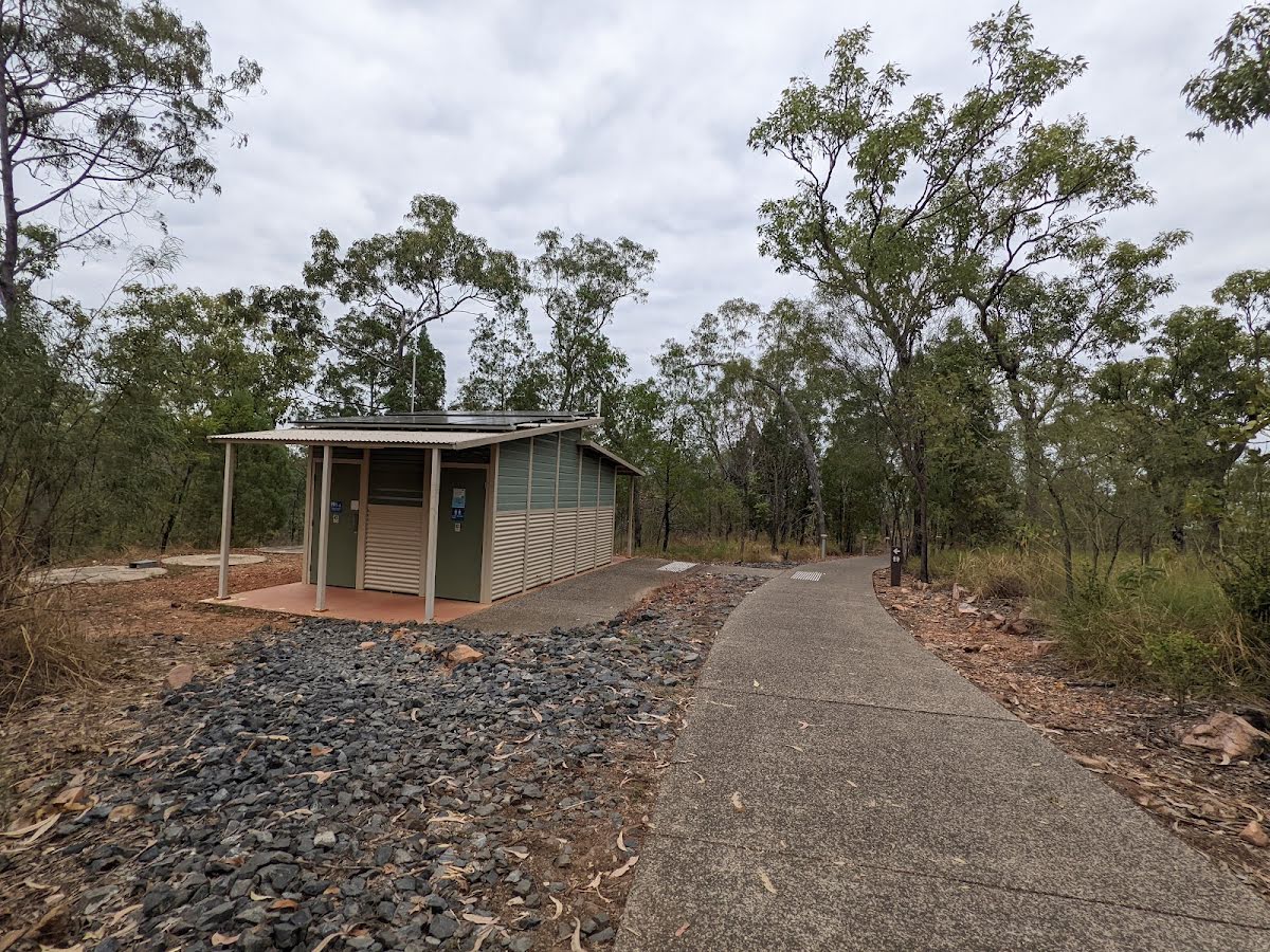
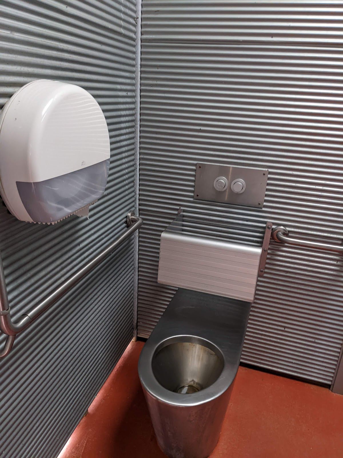
Toilet
| 100 m | [toilet] |
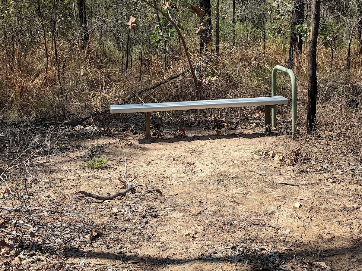
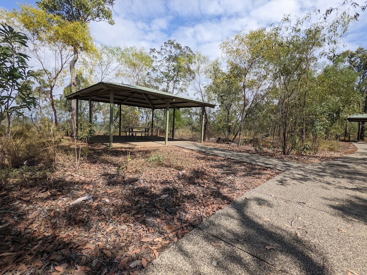
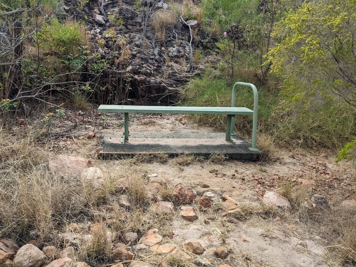
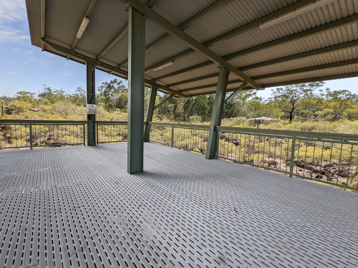
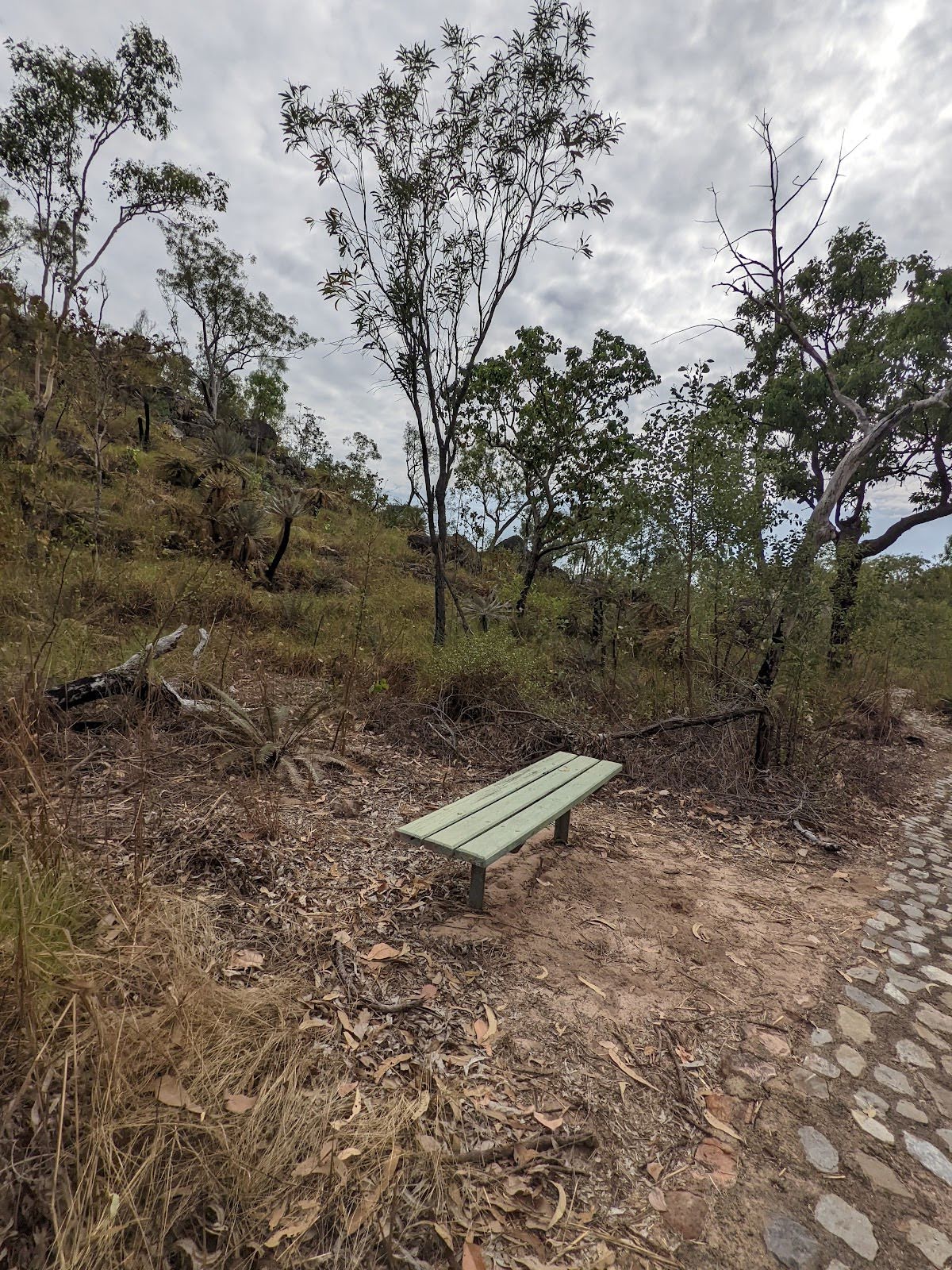
Shelter
| 145 m | [shelter] |
Shelter
| 145 m | [shelter] |
Shelter
| 155 m | [shelter] |
Shelter
| 390 m | [shelter] |
Shelter
| 1.4 km | [shelter] |