| Start | (-23.7797411,133.072794) |
| Mode | Car |
| Directions | From |
| Turn map | Directions & comments |
|---|---|
 |
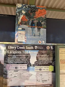
The starting point of an optional sidetrip. Side trip to Ellery Creek Big Hole. To start this optional side trip turn right here. On returning from this side trip error >360 when you get back to this intersection. Details below.
|
 |
|
 |
|
 |
|
 |
|
 |
The starting point of an optional sidetrip. Side trip to Ellery Creek Big Hole. To start this optional side trip continue straight here. On returning from this side trip turn sharp right when you get back to this intersection. Details below. |
| Turn map | Directions & comments |
|---|---|
 |
|
 |
|
 |
|
 |
|
 |

|
|
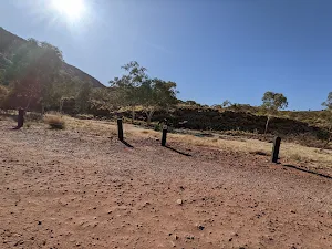
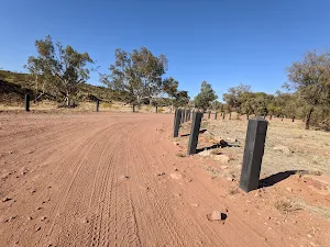
Class 3/6 Moderate track |
|---|---|
| Length | 2.6 km |
| Time | 40 min to 1 h |
| Quality of track | Clear and well formed track or trail (2/6) |
| Gradient | Short steep hills (3/6) |
| Signage | Directional signs along the way (3/6) |
| Infrastructure | Limited facilities, not all cliffs are fenced (3/6) |
| Experience Required | Some bushwalking experience recommended (3/6) |
| Weather | Storms may impact on navigation and safety (3/6) |
| Item | From Start | Name & link to notes |
|---|---|---|
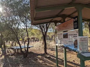
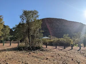
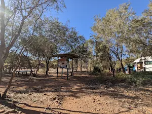
Shelter
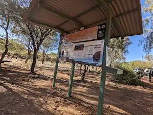
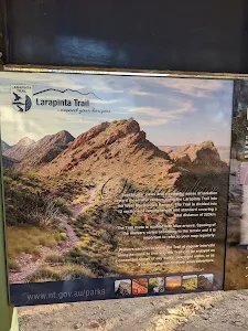
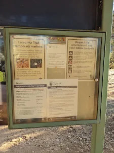
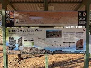
| 0 m + 0 m | Larapinta Trail Information |
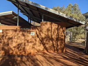
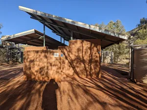
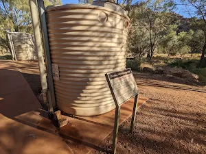
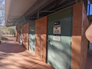
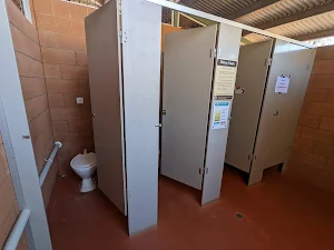
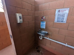
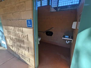
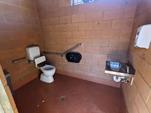
Toilet
| 0 m + 30 m | [toilet] |
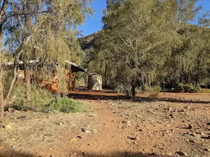
Shelter
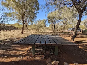
| 0 m + 75 m | Picnic Shelter |
Shelter
| 0 m + 110 m | [shelter] |
Camp site
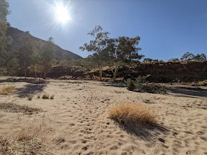
| 2.6 km | Ellery Creek Big Hole - West MacDonnell NP |
Camp site
| 2.6 km | [camp site] |