


| Start | (-33.6232129,151.1532411) |
| Mode | Bus Car (There is free parking available.) Train |
| Directions | From , Mount Kuring-Gai. |
| Finish | At the intersection of Pacific Highway & Cowan Trail (-33.5936512,151.1713556) |
| Mode (end) | Car Shuttle Bus Car (There is free parking available.) Train |
| Turn map | Directions & comments |
|---|---|
 |
|
 |
|
 |
|
 |
|
 |
|
 |
|
 |
|
 |
|
 |
|
 |
|
 |
|
 |
|
 |
|
 |
|
 |
|
 |
|
 |
|
 |
|
 |
|
 |
|
 |
|
 |
|
 |
|
 |
|
 |
|
 |
|
 |
|
 |
|
 |
|
 |
|
 |
|
 |
|
 |
|
 |
|
 |
|
 |
|
 |
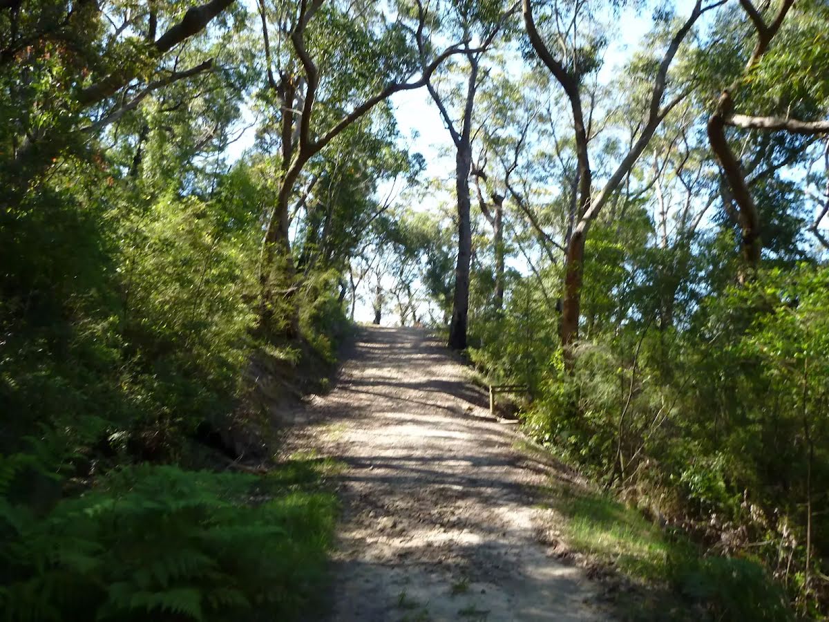
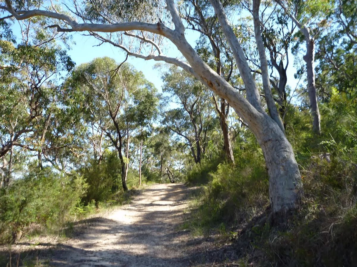
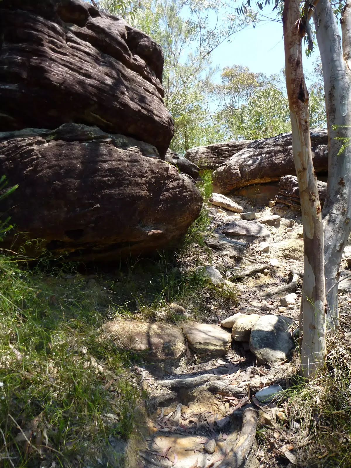
After another 245 m (from the Berkeley Firetrail) continue straight, to head along Berkeley Firetrail.
|
 |
|
 |
|
 |
|
 |
|
 |
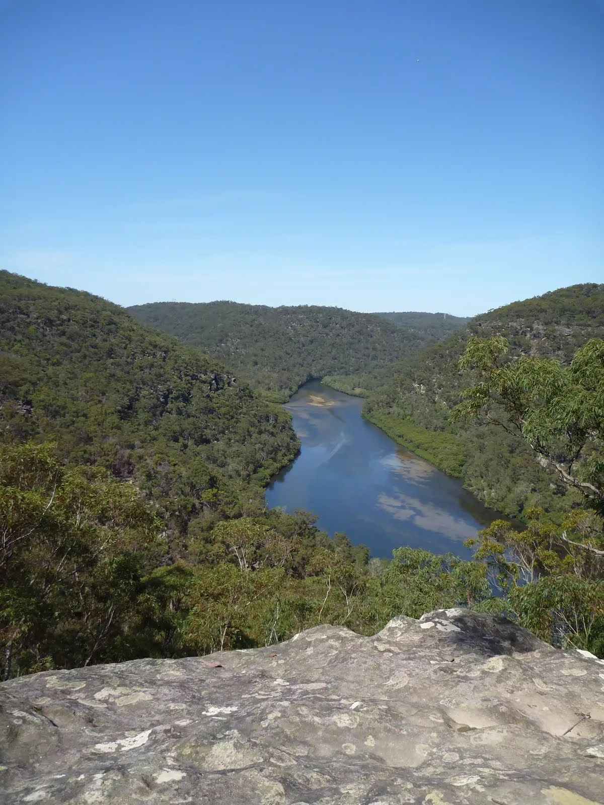
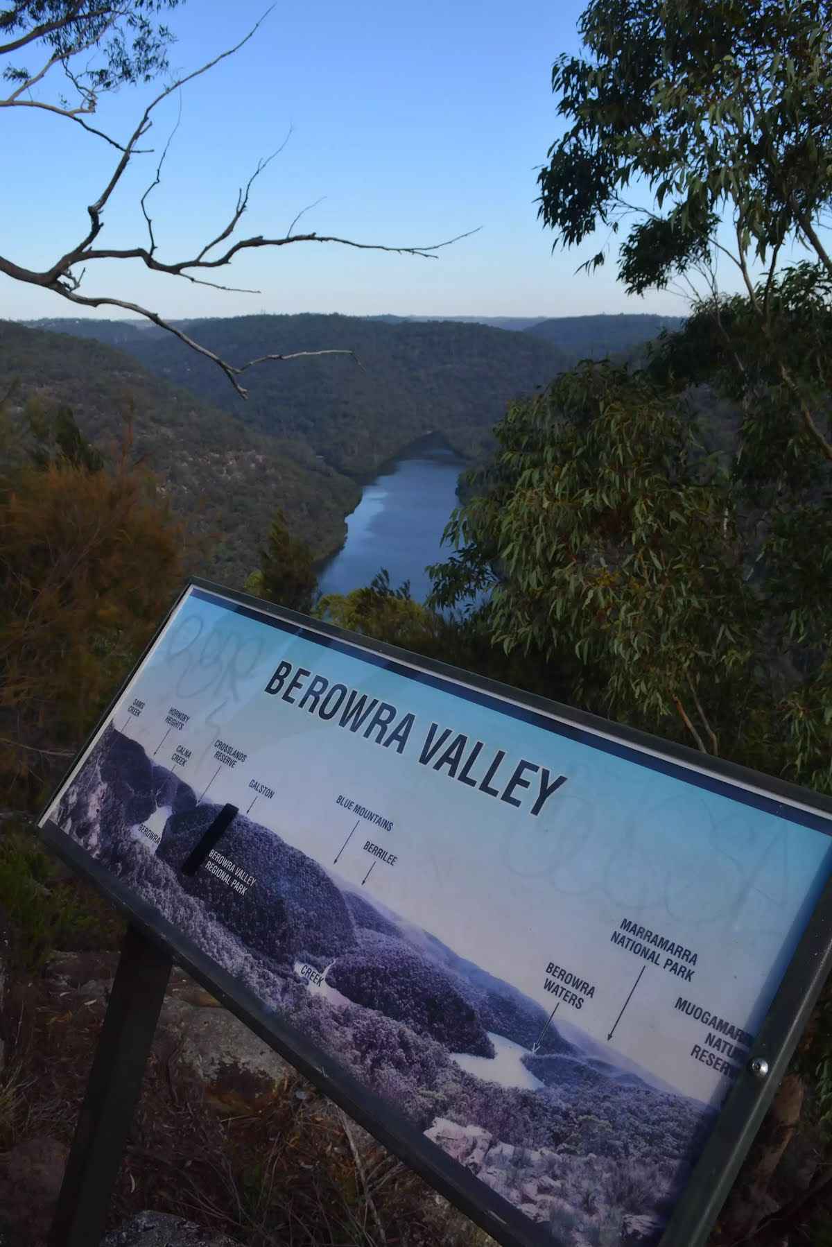
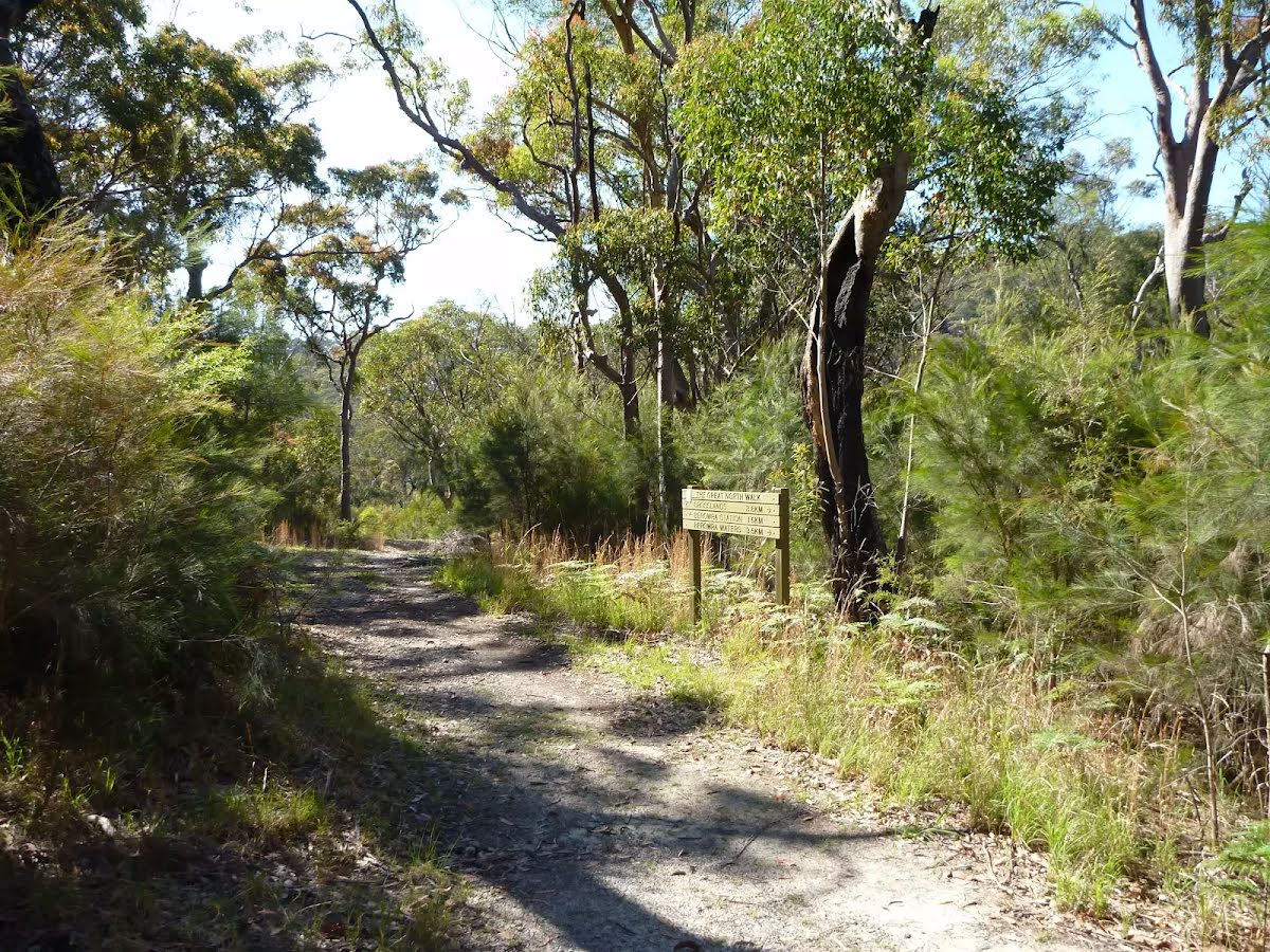
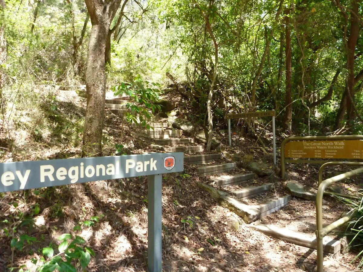
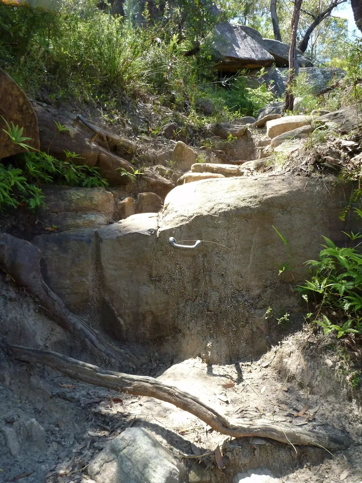
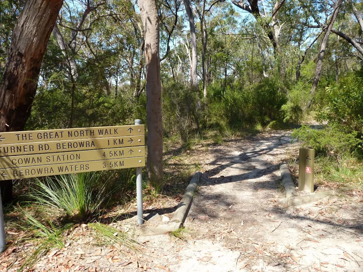
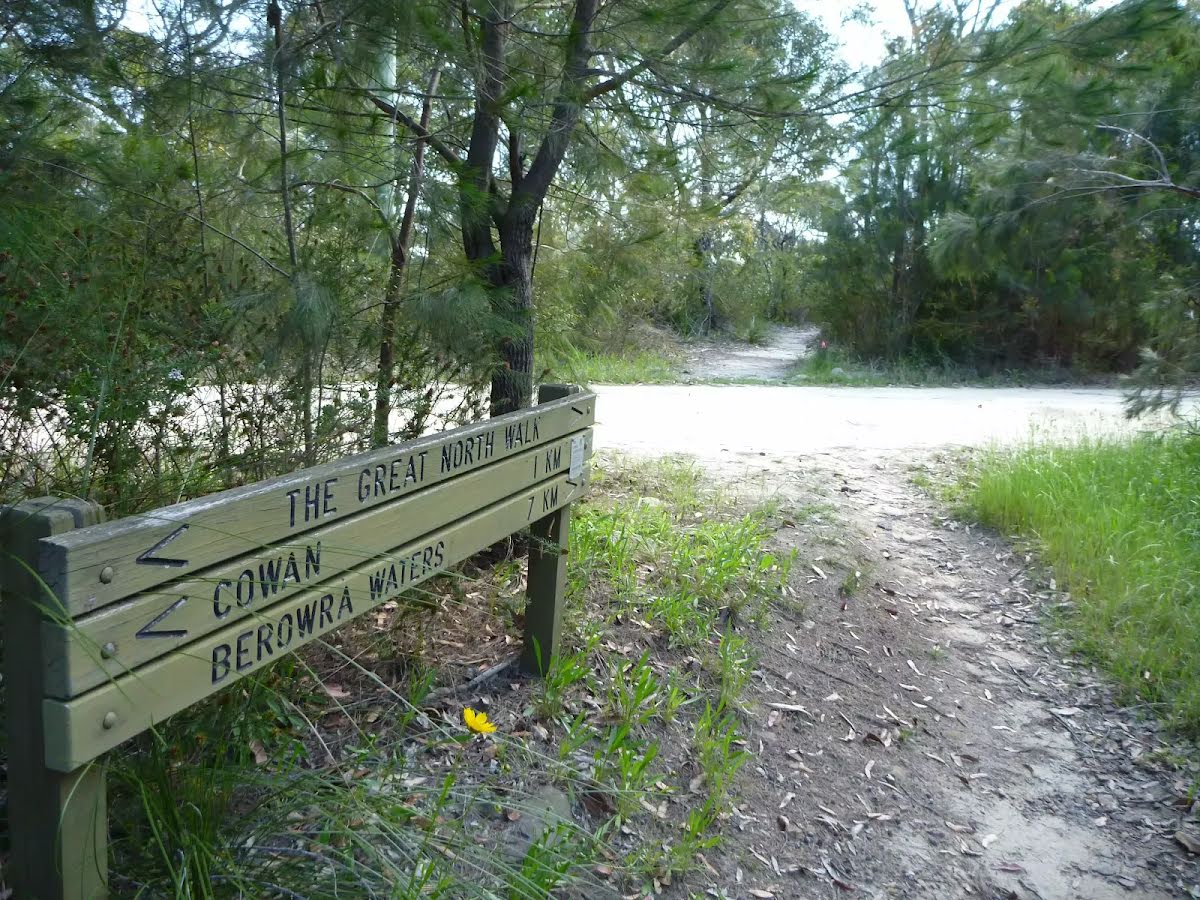
At the intersection of The Great North Walk & Washtub Gully turn left, to head along The Great North Walk.
|
 |
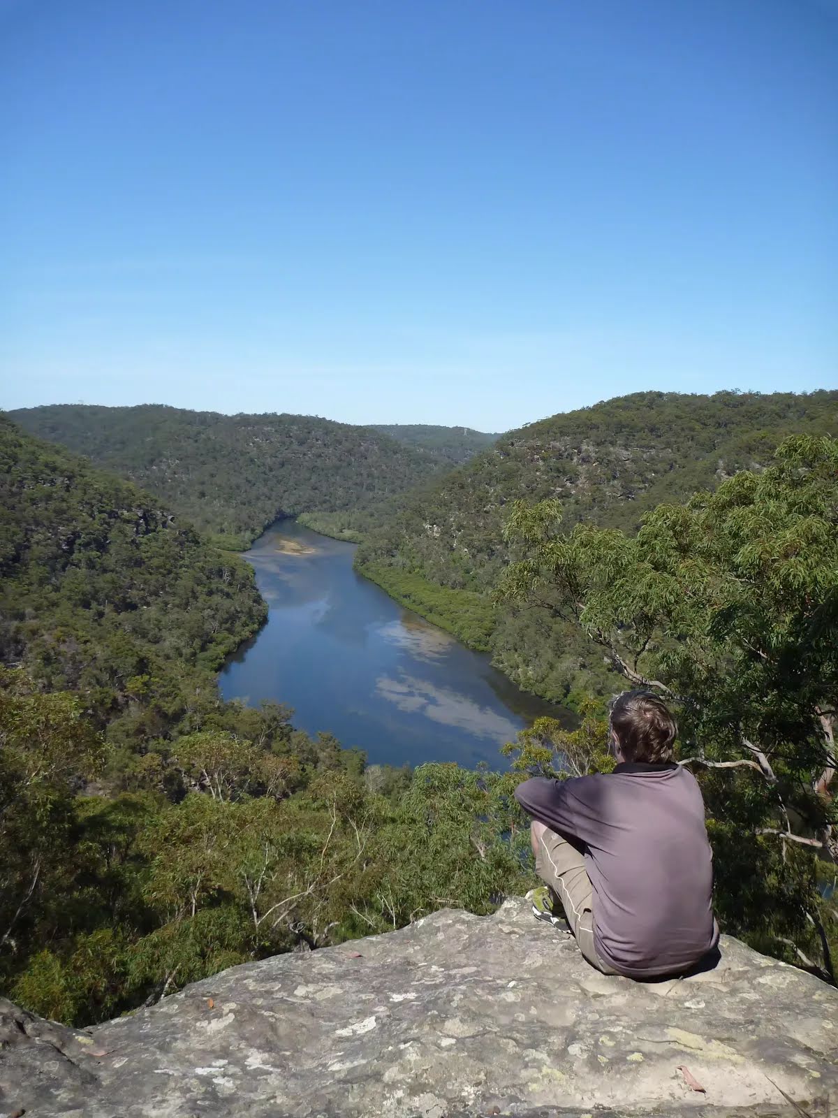
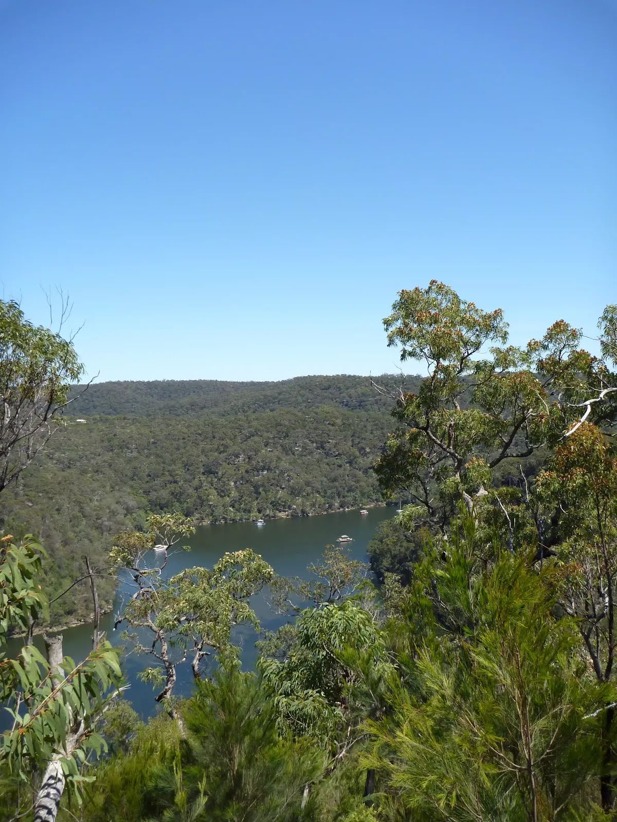
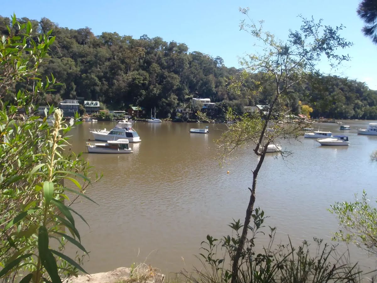
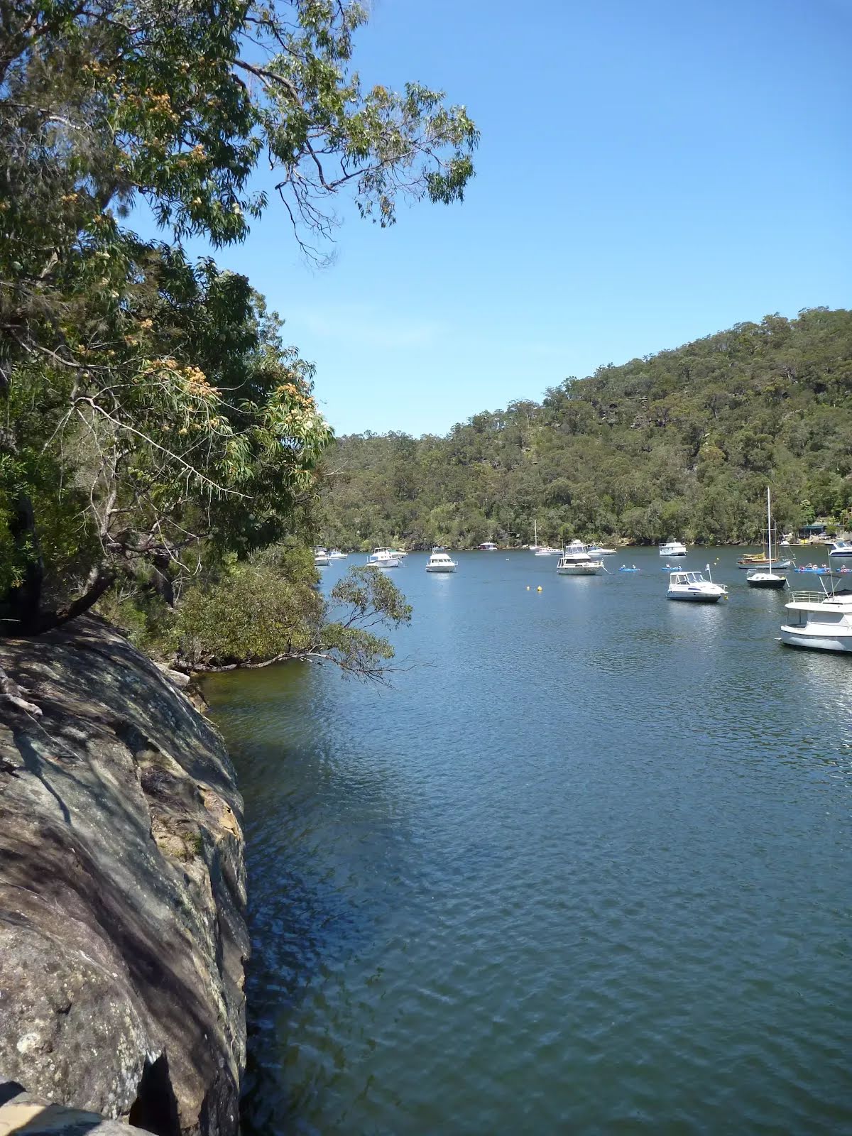
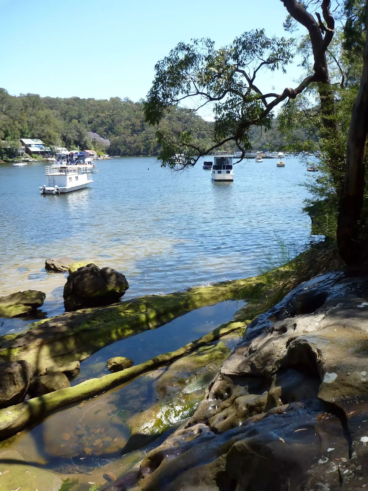
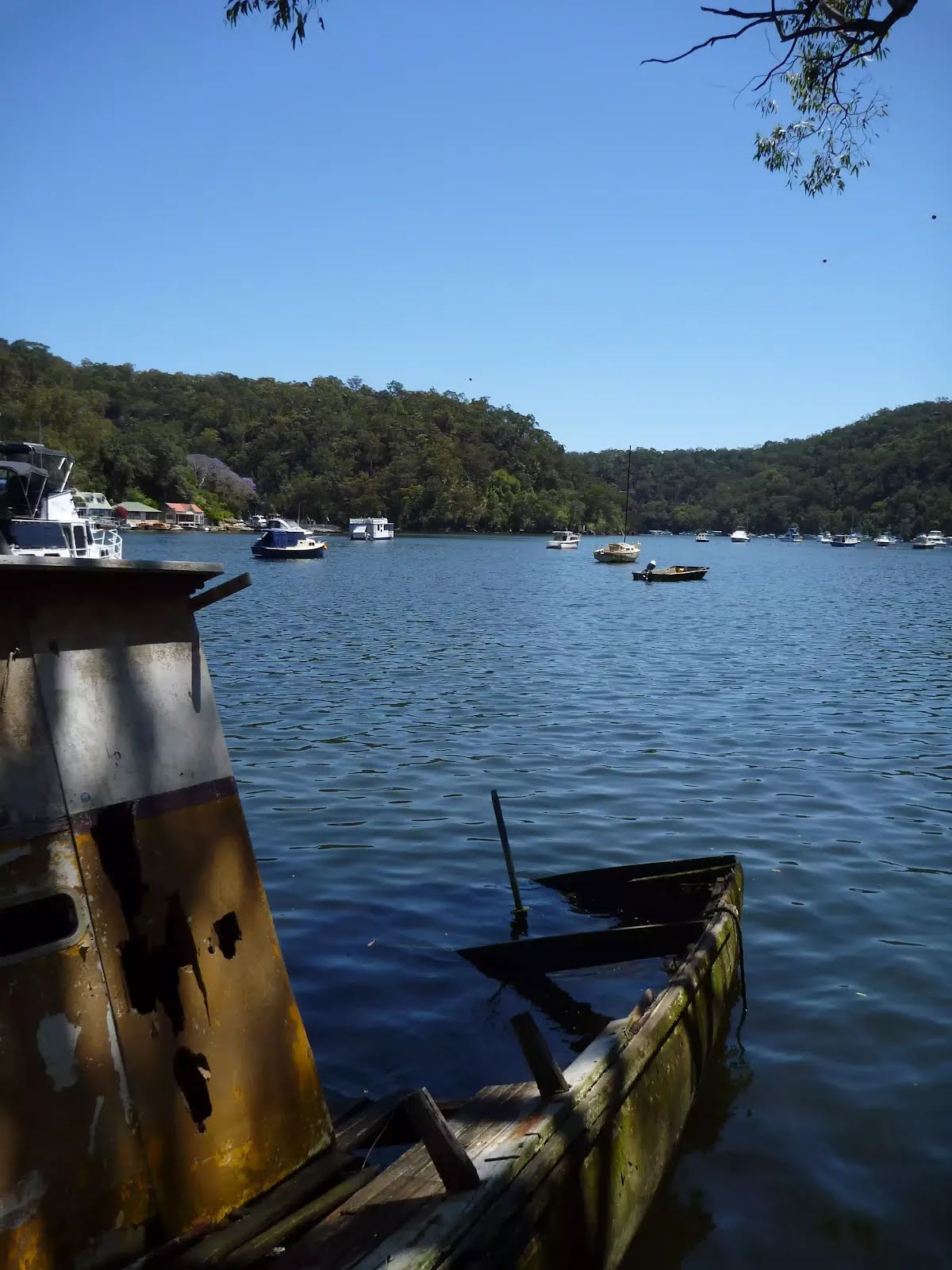
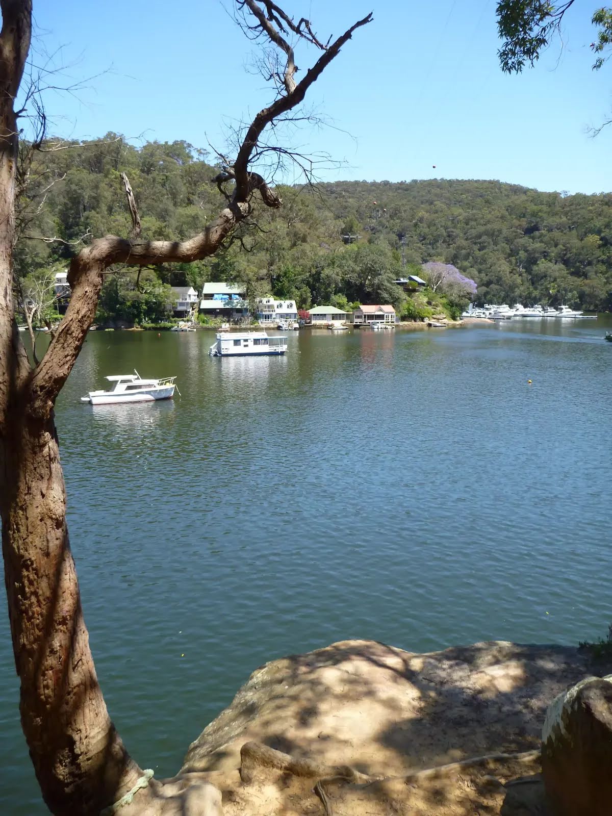
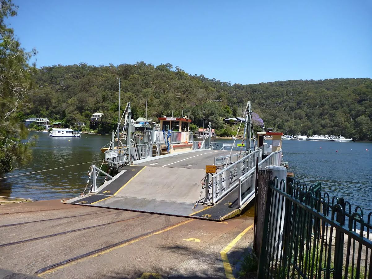
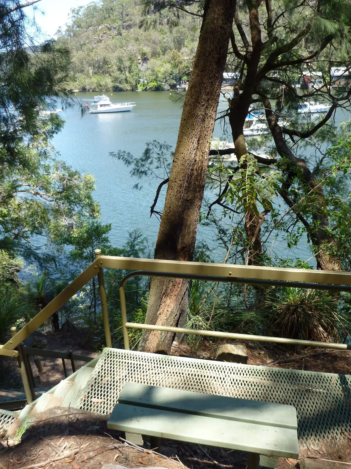
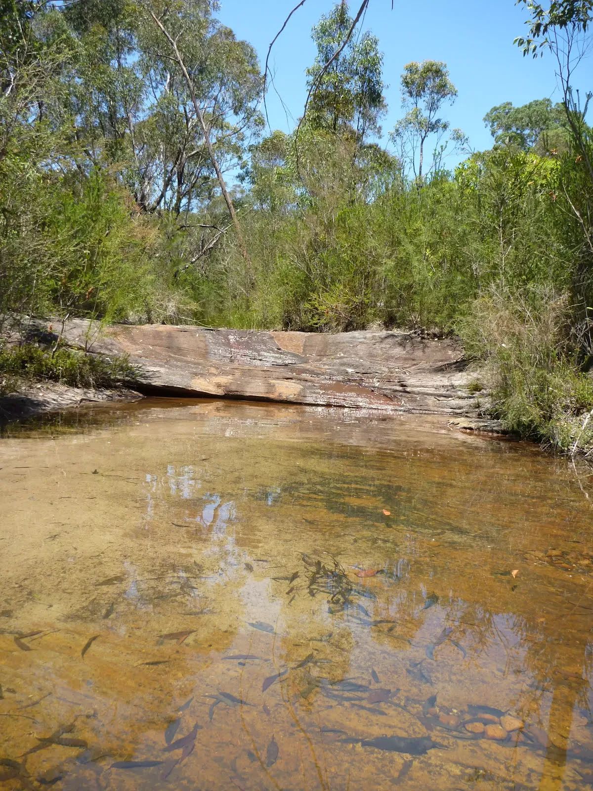
The starting point of an optional sidetrip. An optional side trip to Berowra Waters Marina. To start this optional side trip turn left here. On returning from this side trip turn around when you get back to this intersection. Details below.
|
 |
|
 |
|
 |
|
 |
|
 |
|
 |
|
 |
|
 |
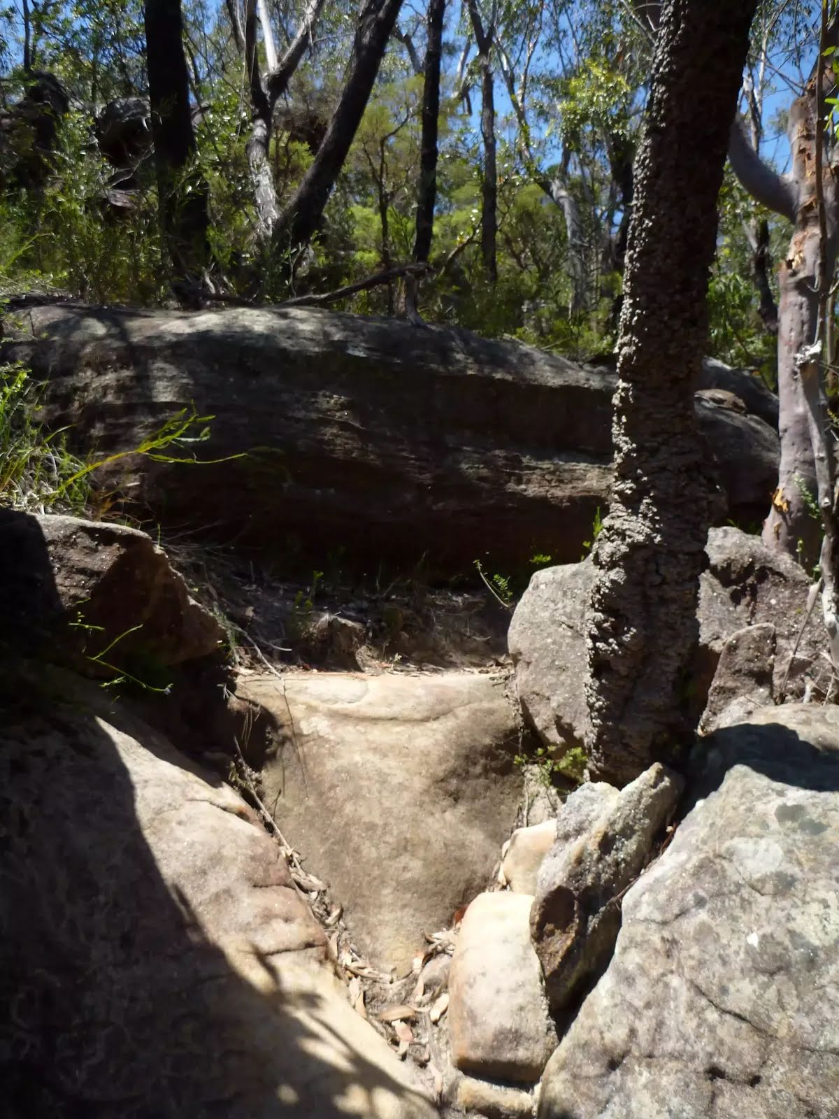
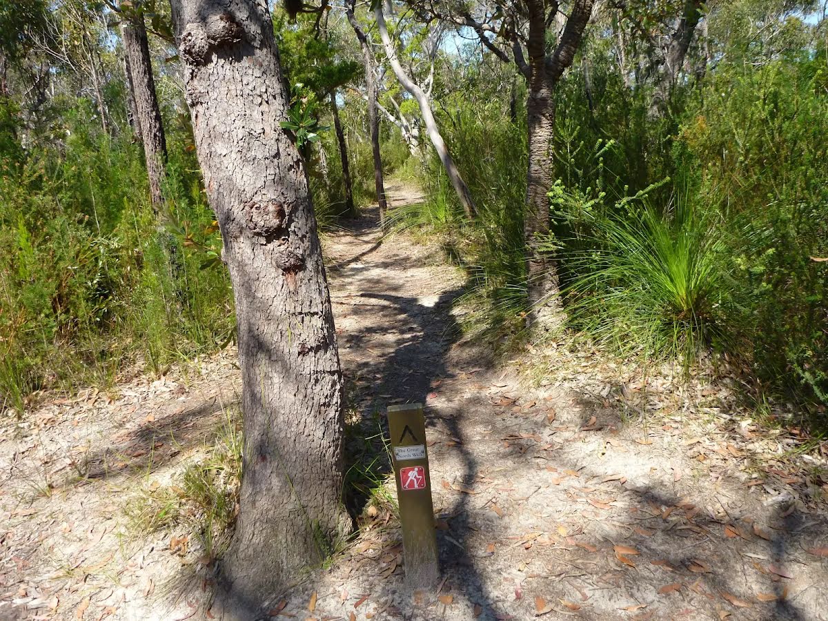
After another 10 m (from the Great North Walk - Firetrail) continue straight, to head along Great North Walk - Firetrail.
|
 |
|
 |
|
 |
|
 |
|
 |
|
 |
|
 |
|
 |
|
 |
|
 |
|
 |

|
|
Class 4/6 Hard track |
|---|---|
| Length | 13 km |
| Time | 5 h 28 min to 6 h |
| Quality of track | Rough track, where fallen trees and other obstacles are likely (4/6) |
| Gradient | Very steep (4/6) |
| Signage | Directional signs along the way (3/6) |
| Infrastructure | Limited facilities, not all cliffs are fenced (3/6) |
| Experience Required | Some bushwalking experience recommended (3/6) |
| Weather | Foretasted & unexpected storms and severe weather may impact on navigation and safety (4/6) |
| Item | From Start | Name & link to notes |
|---|---|---|
Toilet
| -48 m | [toilet] |
Toilet
| -45 m | [toilet] |
Seat
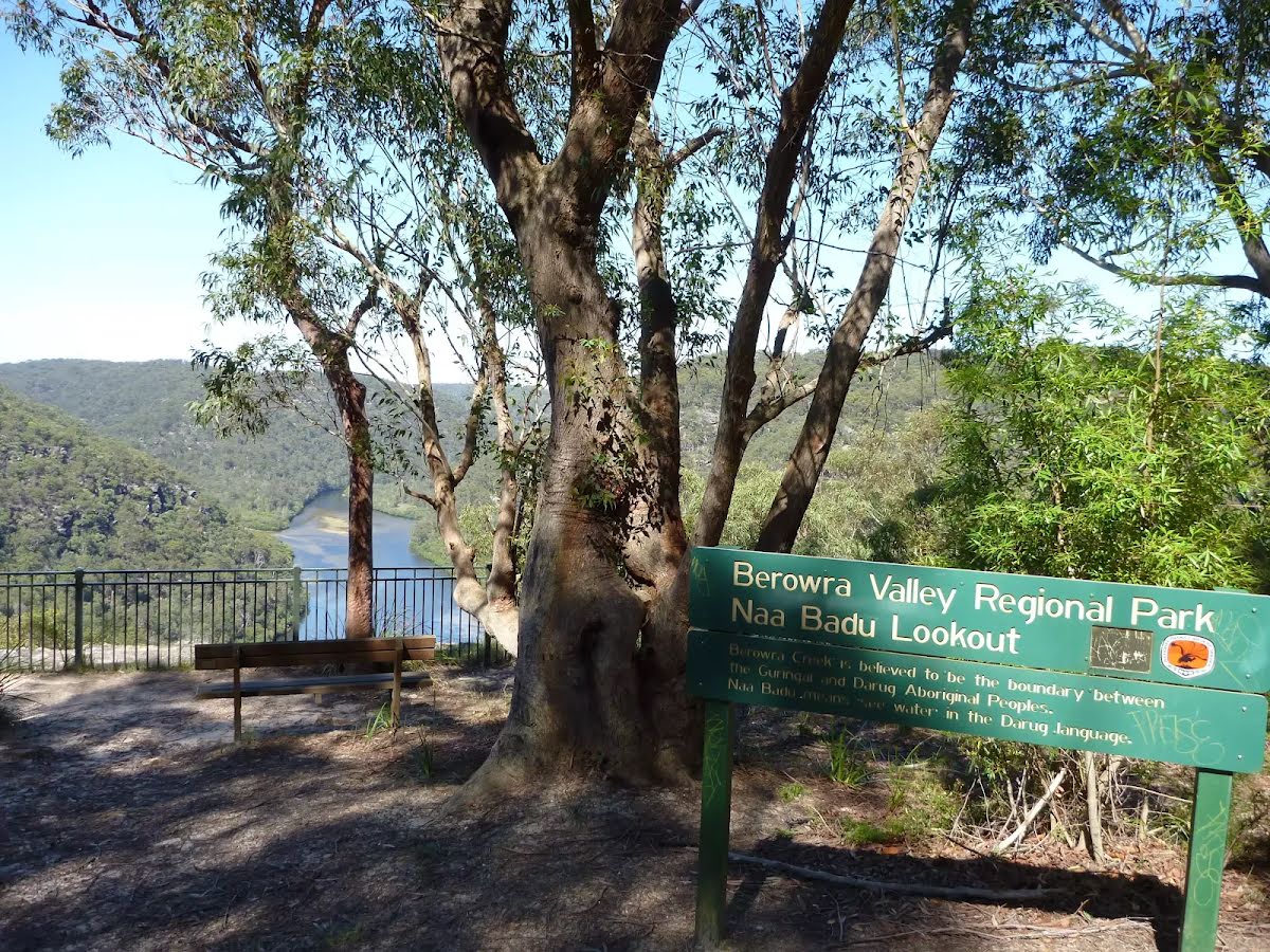
| 0 m | [seat] |
Shelter
| 15 m | [shelter] |
Seat
| 160 m | [seat] |
Seat
| 160 m | [seat] |
Seat
| 410 m | [seat] |
Toilet
| 670 m | [toilet] |
Seat
| 3 km | [seat] |
Seat
| 3.8 km | 04 |
Seat
| 5.3 km | 05 |
Toilet
| 5.8 km + 570 m | [toilet] |
Shelter
| 5.8 km + 570 m | [shelter] |
Seat
| 5.8 km + 570 m | [seat] |
Toilet
| 5.8 km | [toilet] |
Seat
| 6.6 km | [seat] |
Seat
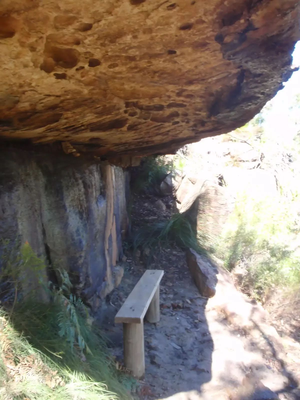
| 7.7 km | The Roland Murray Bench |
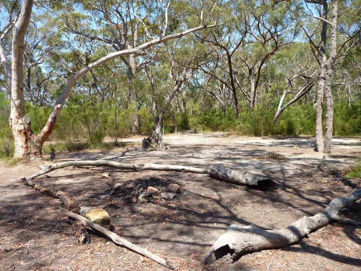
Campsite
| 8.4 km | Ridge Top Campground |
Toilet
| 8.4 km | [toilet] |
Seat
| 10.5 km | [seat] |
Toilet
| 13 km | [toilet] |
Shelter
| 13 km | [shelter] |