| Start | (-33.8002434,151.2468681) |
| Mode | Bus Car (There is free parking available.) |
| Directions | From Warringah Freeway, M1
|
| Finish | (-33.7994806,151.2843298) |
| Mode (end) | Car Shuttle Bus Car (There is free parking available.) Ferry |
| Turn map | Directions & comments |
|---|---|
 |
|
 |
|
 |
|
 |
|
 |
|
 |
|
 |
The starting point of an optional sidetrip. An optional side trip to Castle Rock Beach. To start this optional side trip continue straight here. On returning from this side trip turn sharp left when you get back to this intersection. Details below.
|
 |
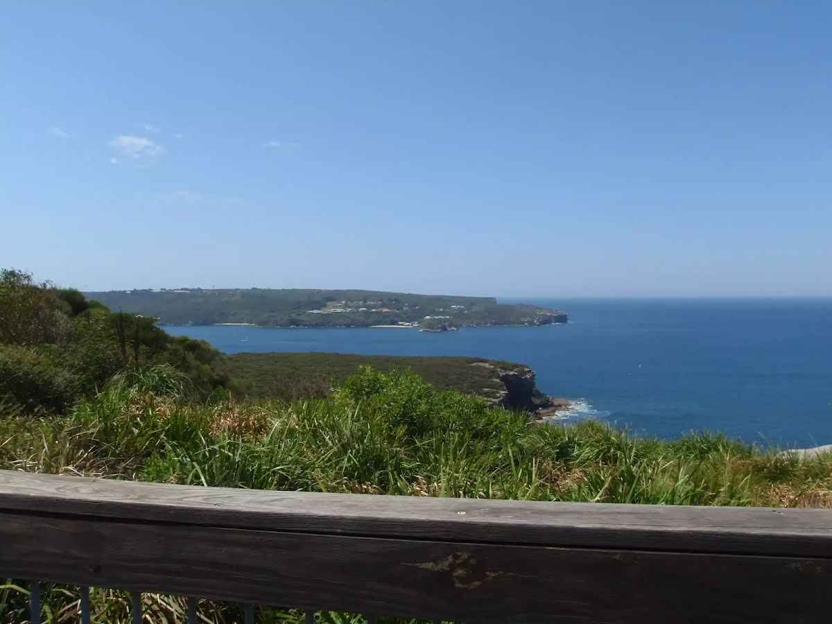
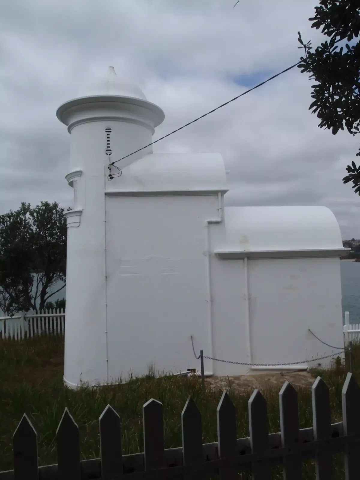
The starting point of an optional sidetrip. An optional side trip to Grotto Point Lighthouse. To start this optional side trip turn right here. On returning from this side trip turn sharp right when you get back to this intersection. Details below.
|
 |
The starting point of an optional sidetrip. An optional little side trip to Grotto Point Engravings. To start this optional side trip turn right here. On returning from this side trip turn right when you get back to this intersection. Details below.
|
 |
|
 |
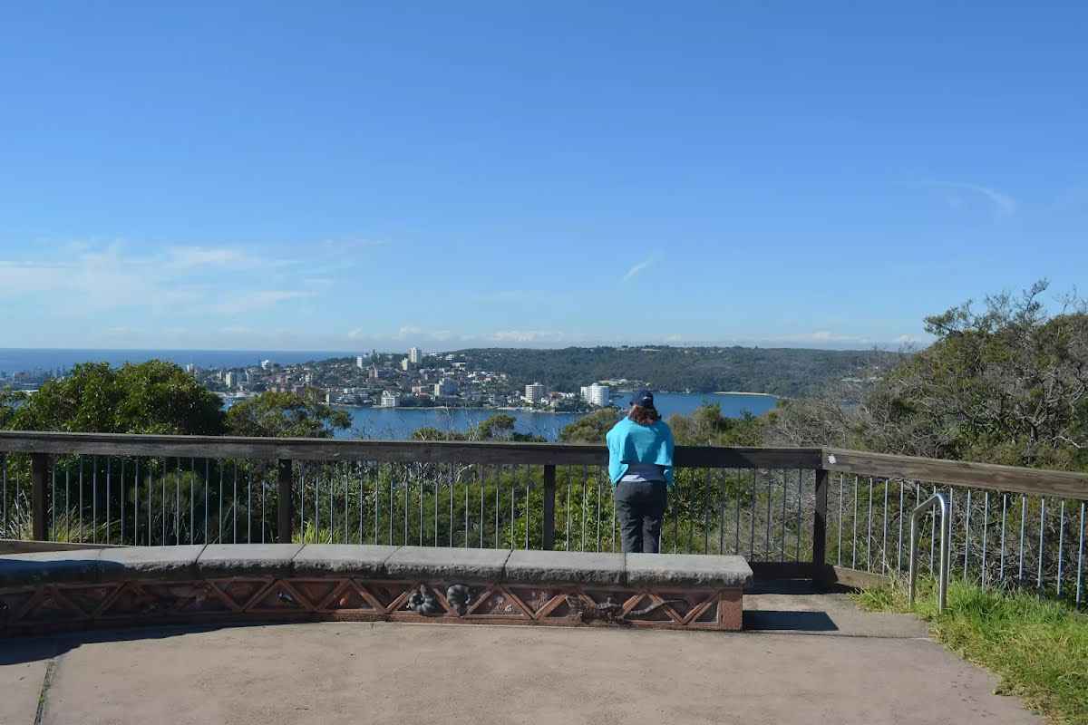
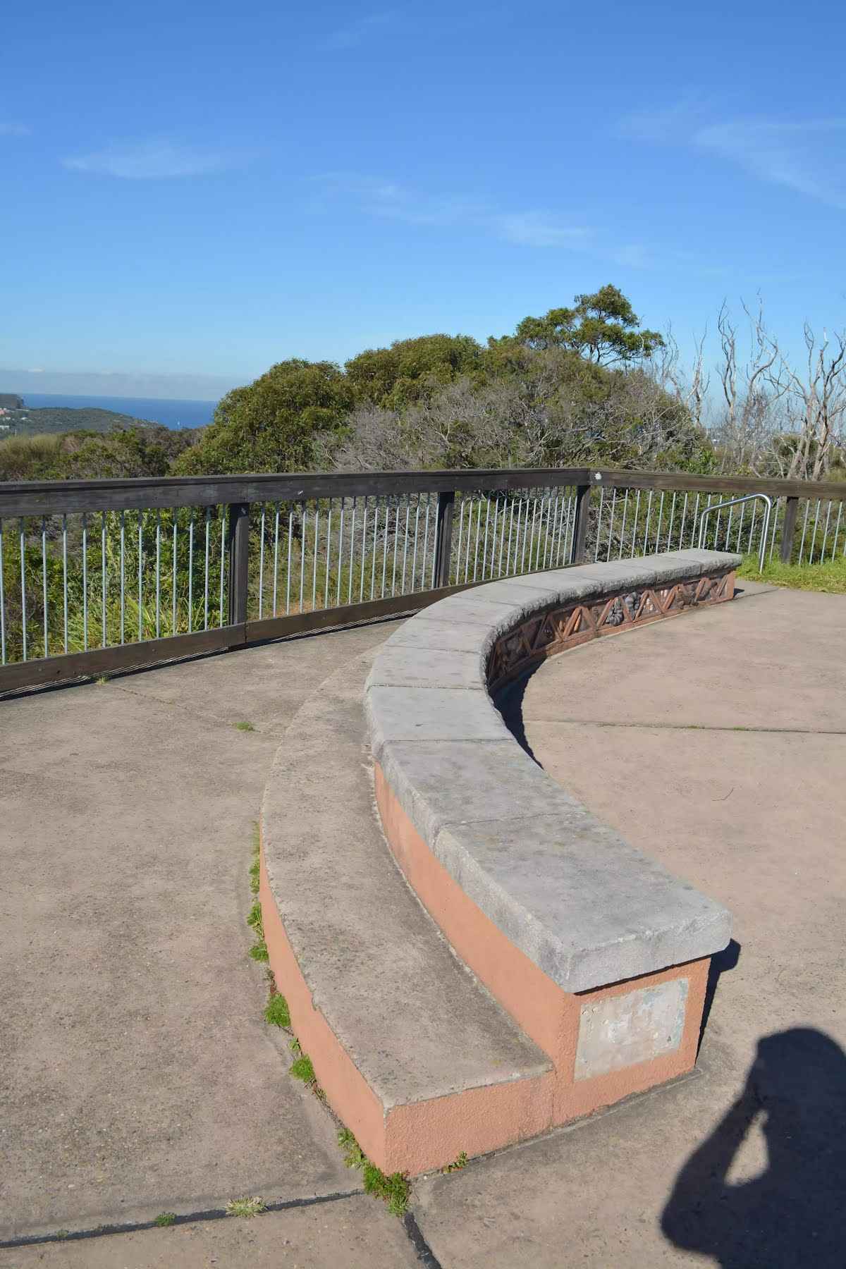
The starting point of an optional sidetrip. An optional side trip to Arabanoo Lookout. To start this optional side trip turn left here. On returning from this side trip turn around when you get back to this intersection. Details below.
|
 |
|
 |
|
 |
After another 150 m (at the intersection of Manly to Spit Bridge Walk & Gourlay Avenue) veer right, to head along Manly to Spit Bridge Walk.
|
 |
|
 |
After another 340 m (at the intersection of Manly to Spit Bridge Walk & Bolingbroke Parade) continue straight, to head along Manly to Spit Bridge Walk.
|
 |
|
 |
|
 |
|
 |

|
|
Class 3/6 Moderate track |
|---|---|
| Length | 9.2 km |
| Time | 3 h 15 min to 3 h 45 min |
| Quality of track | Formed track, with some branches and other obstacles (3/6) |
| Gradient | Short steep hills (3/6) |
| Signage | Directional signs along the way (3/6) |
| Infrastructure | Limited facilities, not all cliffs are fenced (3/6) |
| Experience Required | Some bushwalking experience recommended (3/6) |
| Weather | Storms may impact on navigation and safety (3/6) |
| Item | From Start | Name & link to notes |
|---|---|---|
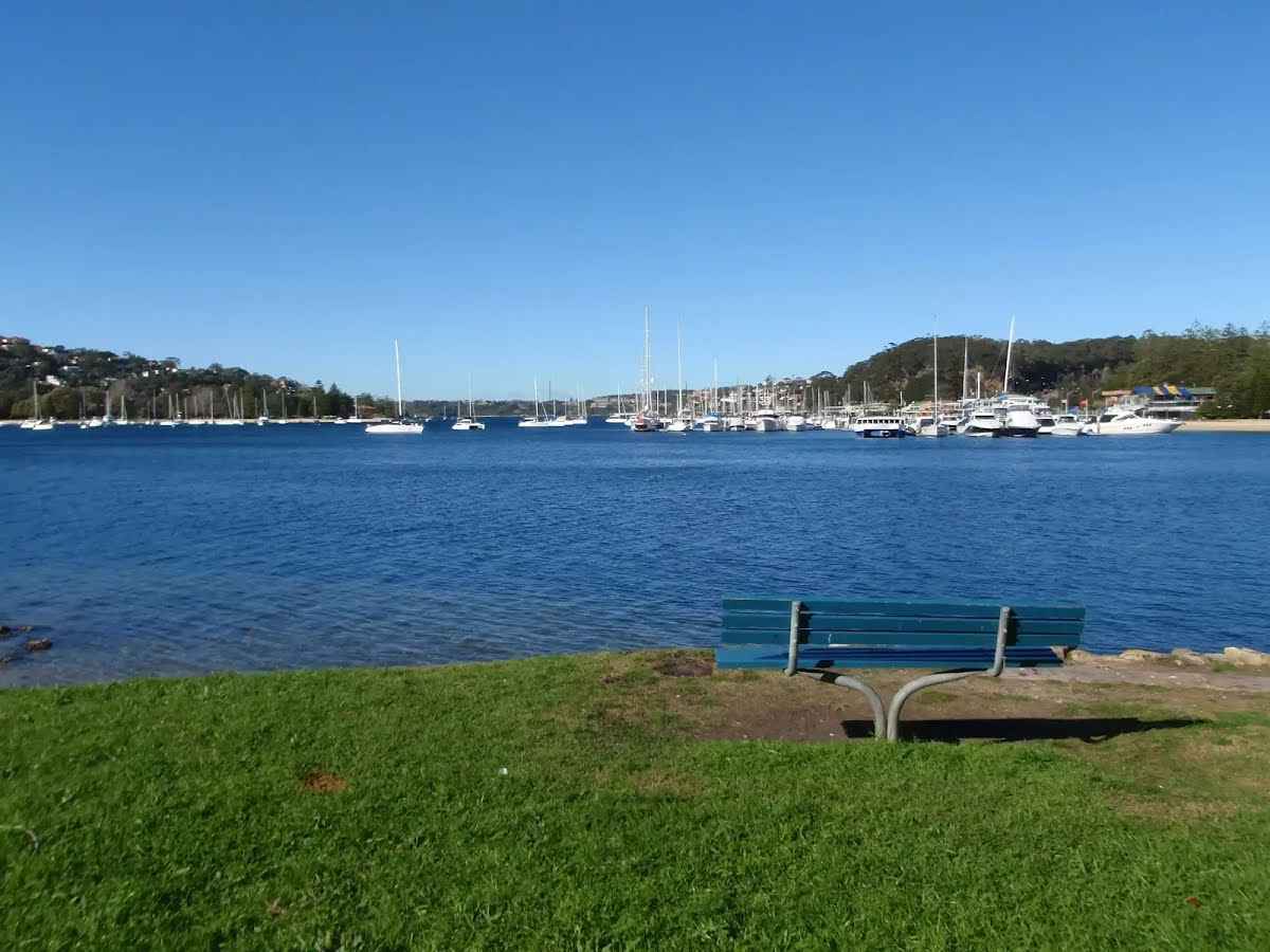
Seat
| 4.2 km | [seat] |
Seat
| 4.5 km + 280 m | Seat |
Seat
| 4.5 km + 280 m | Seat |
Seat
| 4.9 km | [seat] |
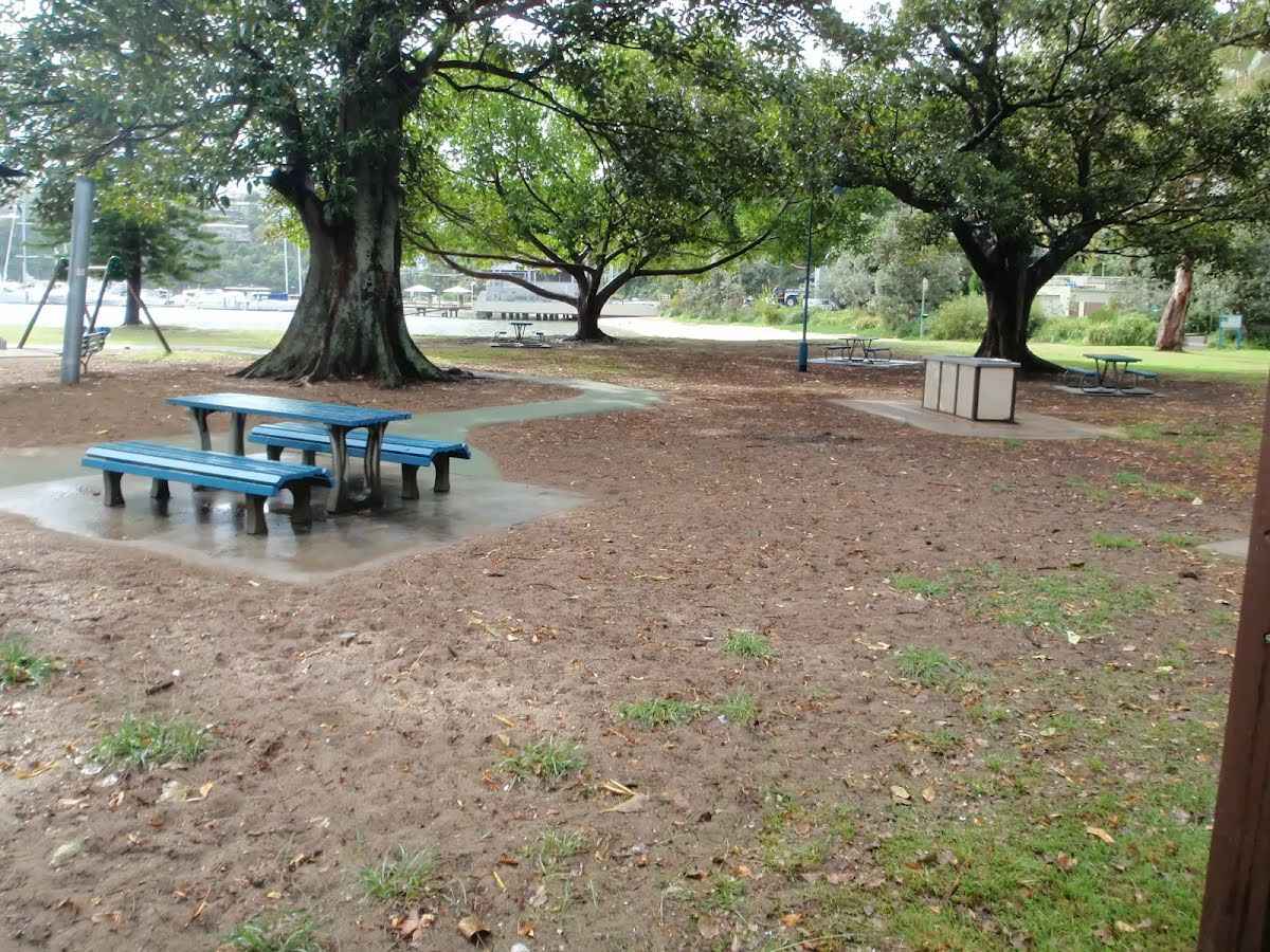
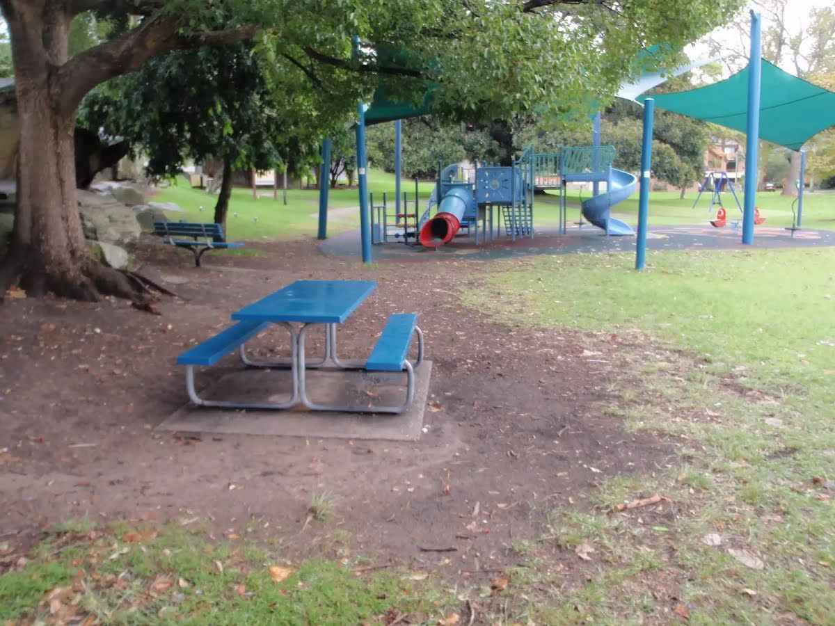
Toilet
| 5.4 km | [toilet] |
Seat
| 6 km | [seat] |
Toilet
| 6.2 km | [toilet] |
Toilet
| 6.8 km | [toilet] |
Seat
| 6.9 km | [seat] |
Seat
| 7.3 km | [seat] |
Seat
| 7.8 km | [seat] |
Seat
| 8.1 km | [seat] |
Toilet
| 8.2 km | [toilet] |
Seat
| 8.3 km | [seat] |
Seat
| 8.3 km | [seat] |
Seat
| 8.5 km | [seat] |
Seat
| 8.7 km | [seat] |
Toilet
| 8.9 km | [toilet] |
Toilet
| 9.2 km | [toilet] |