| Turn map |
Directions & comments |
|
|

At the intersection of Langston Place & Cambridge Street Start heading along Oxford Street (a highway|tertiary).

There is a cafe (about 30 m back from the start).

After 235 m pass the shelter (9 m on your left).
|
|
|

After another 165 m continue straight.
|
|
|

After another 215 m turn left.
|
|
|
After another 275 m continue straight.
|
|
|

After another 60 m veer right.

Then head down the concrete steps (about 6 m long)
Then head down the concrete steps (about 4 m long)

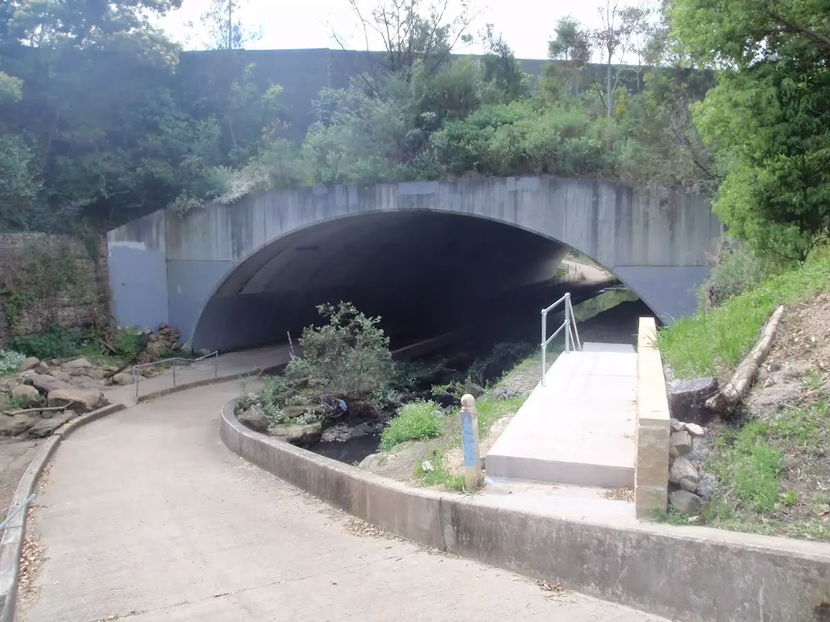
After another 20 m head through the tunnel (about 50 m long)
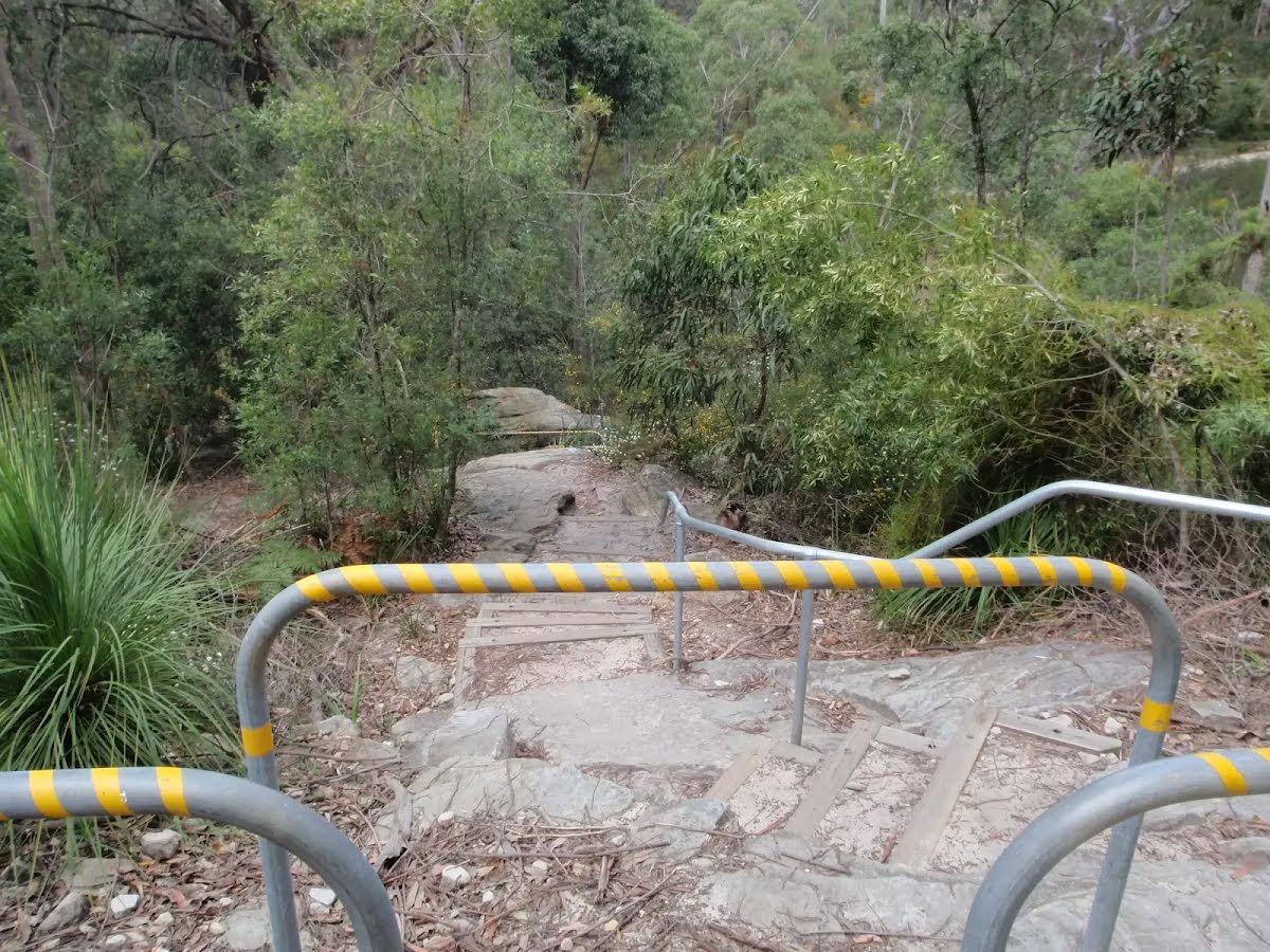
After another 280 m head down the steps (about 30 m long)
|
|
|

After another 480 m veer left.

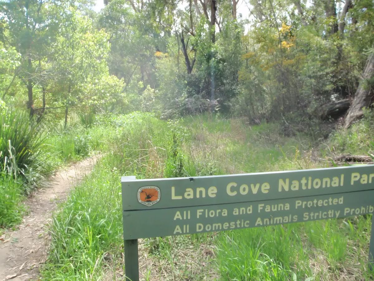
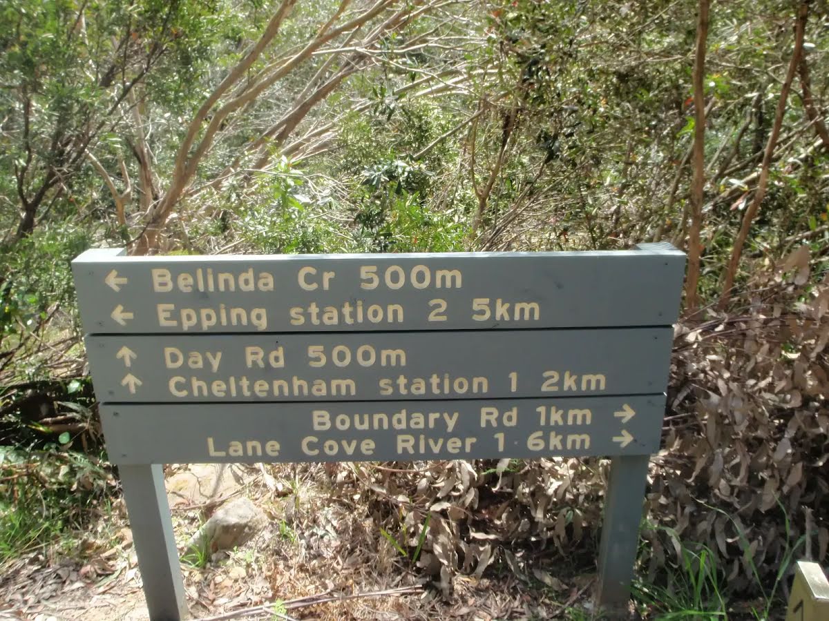
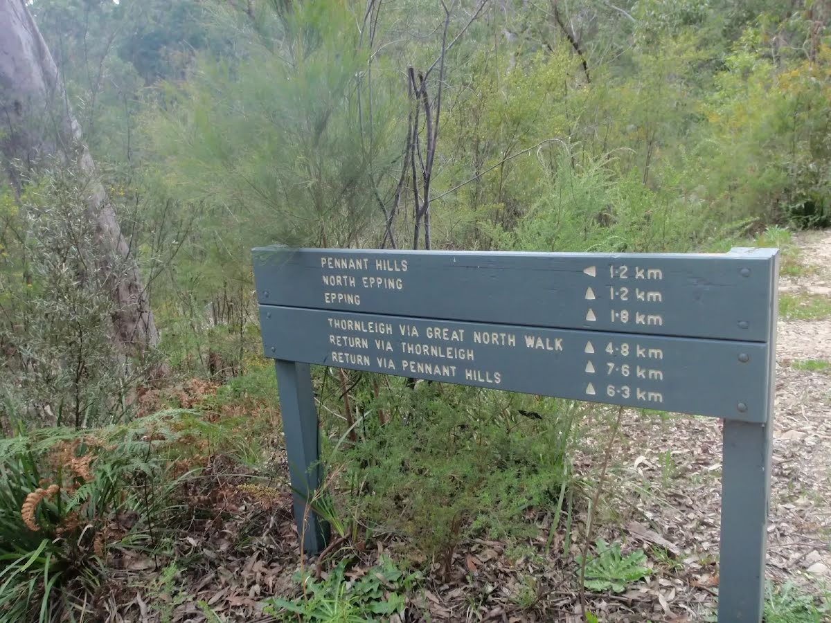
After another 25 m pass the sign (10 m on your left).
|
|
|
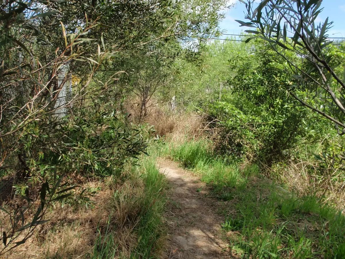
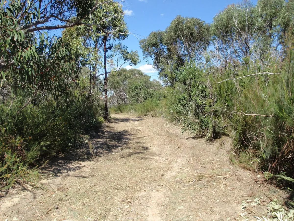
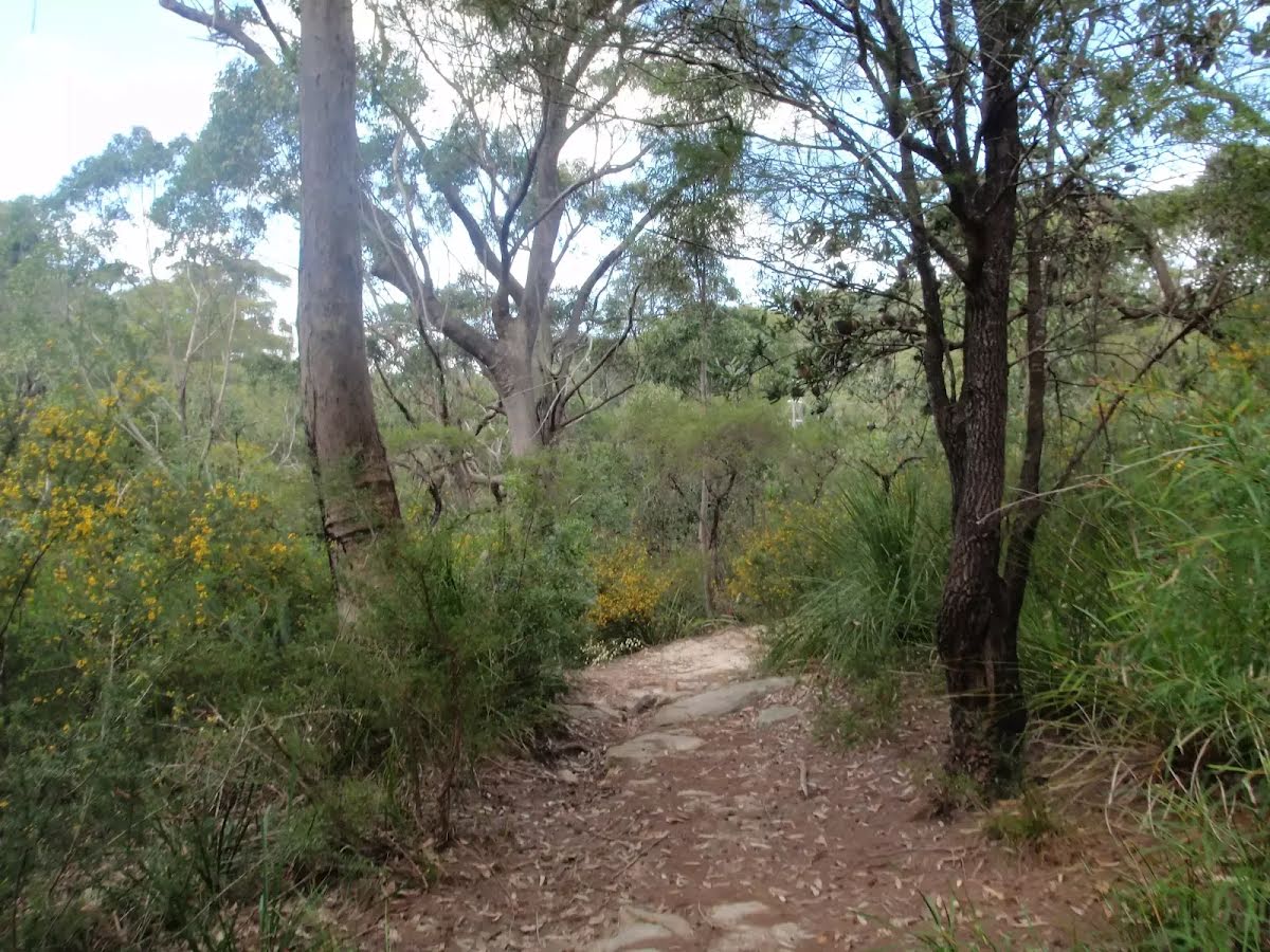
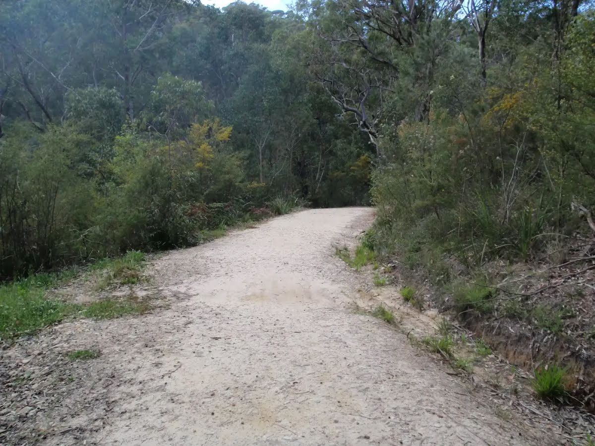
After another 560 m continue straight, to head along Devlins Creek Trail.
After another 80 m pass the sign (10 m on your left).

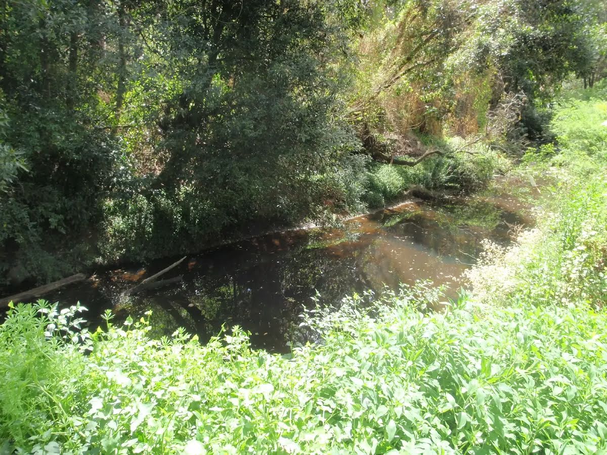
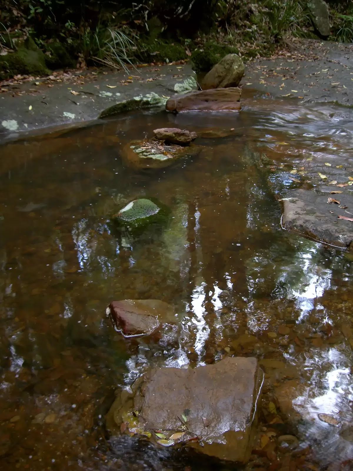
After another 170 m find the "Big Ducky Waterhole" (on your left).
|
|
|
After another 420 m (at the intersection of Devlins Creek Trail & Boundary Road Firetrail) continue straight, to head along Devlins Creek Trail.

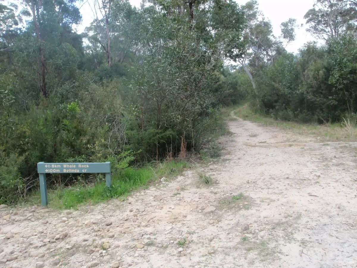
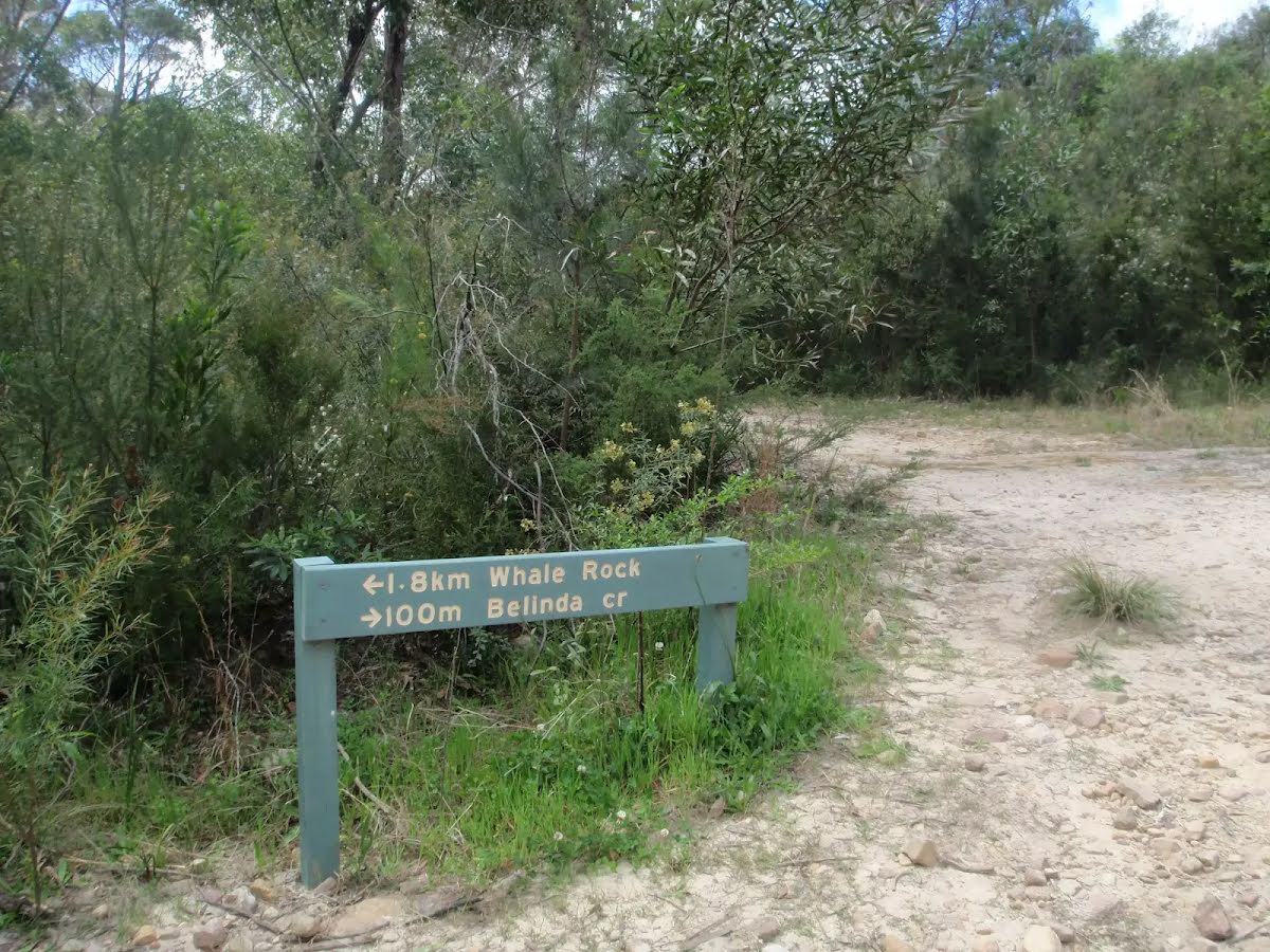
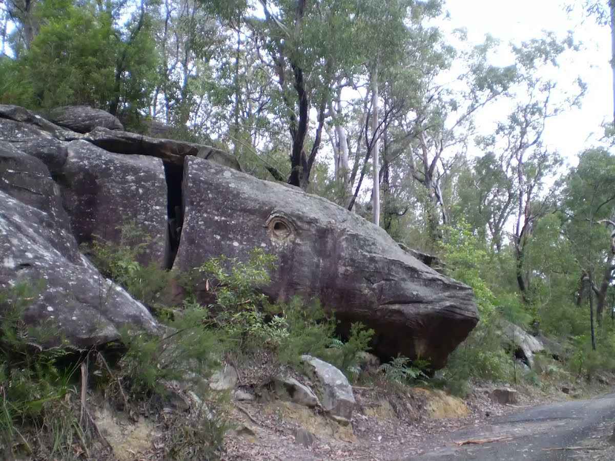
After another 100 m find the "Whale Rock" (6 m on your left).

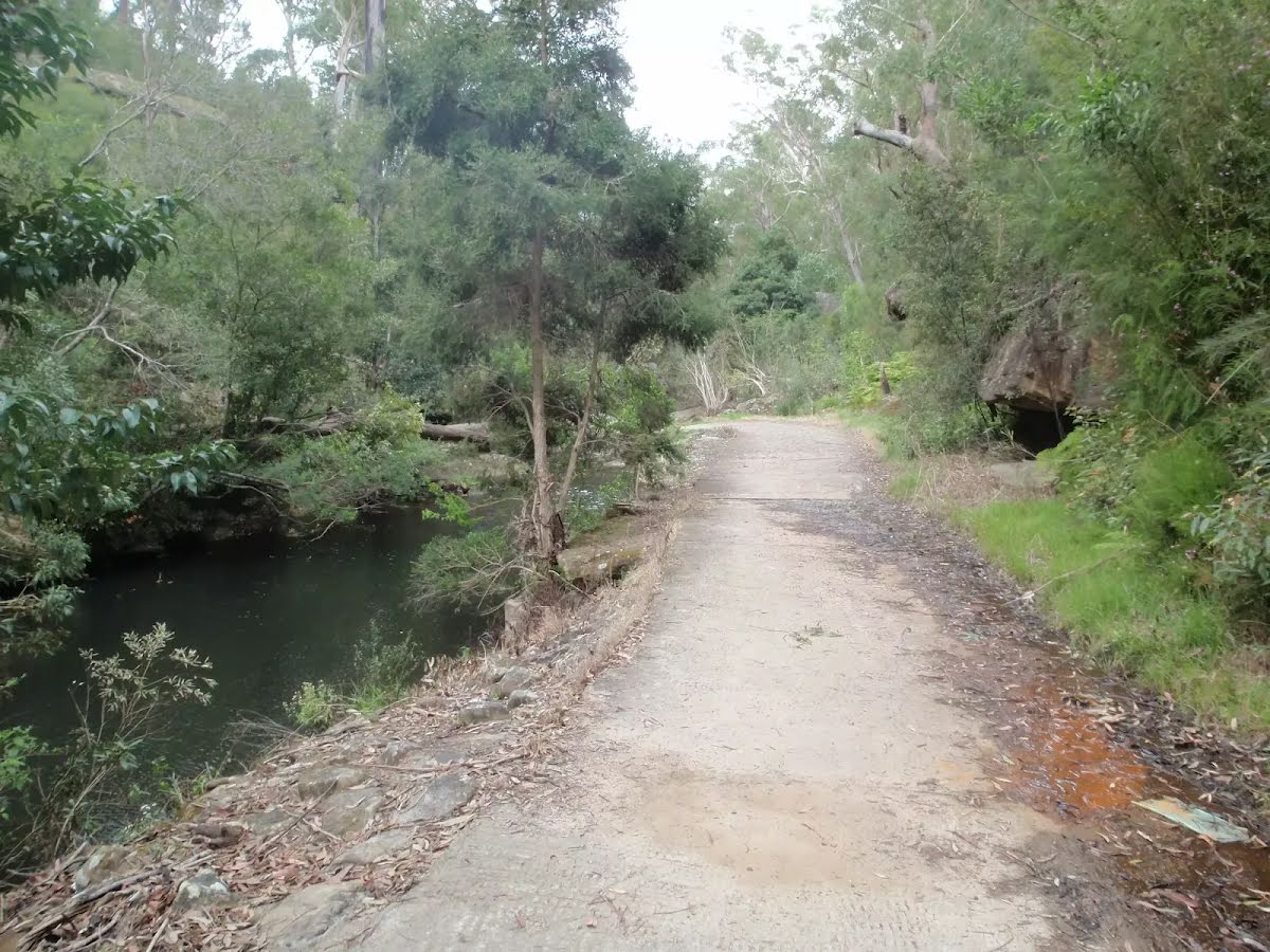
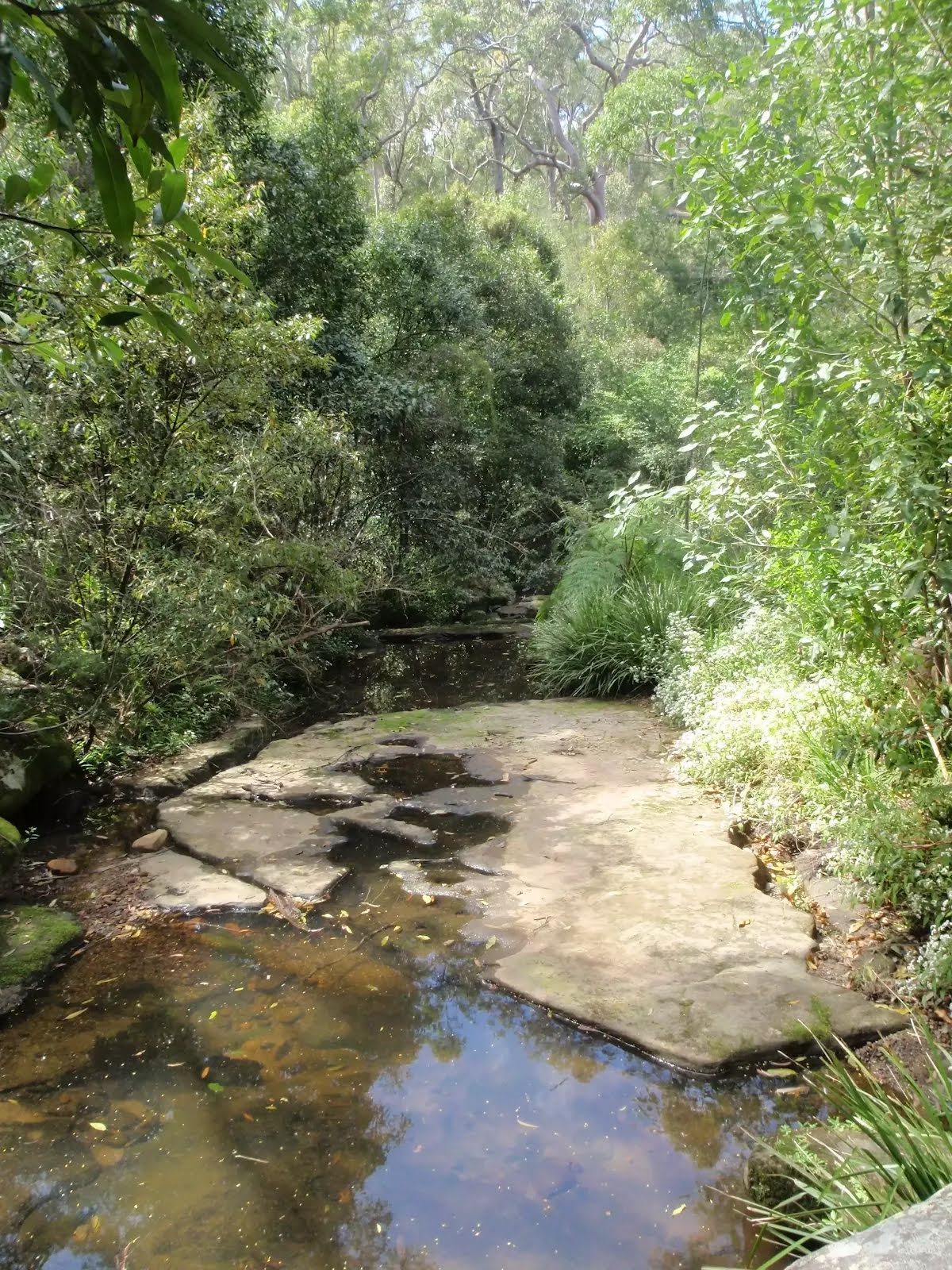
After another 165 m cross the ford (about 35 m long)
Then cross the ford.
After another 75 m cross the ford (about 30 m long)
Then cross the ford.
|
|
|
After another 210 m continue straight, to head along Devlins Creek Trail.
Then cross the ford (about 25 m long)
After another 8 m cross the ford.
|
|
|
After another 150 m (at the intersection of Devlins Creek Trail & Pennant Hills Trail) turn left, to head along Pennant Hills Trail.

Then head up the very steep (10% ~ 5.7°) concrete incline (about 75 m long)
Then pass the sign (6 m on your right).
After another 200 m head up the very steep (20% ~ 11.3°) concrete incline (about 170 m long)
|
|
|
After another 330 m continue straight, to head along Pennant Hills Trail.
After another 230 m continue straight, to head along Pennant Hills Trail.
|
|
|
After another 345 m turn left.
|
|
|
After another 340 m continue straight.
|
|
|
After another 95 m veer right.
|
|
|
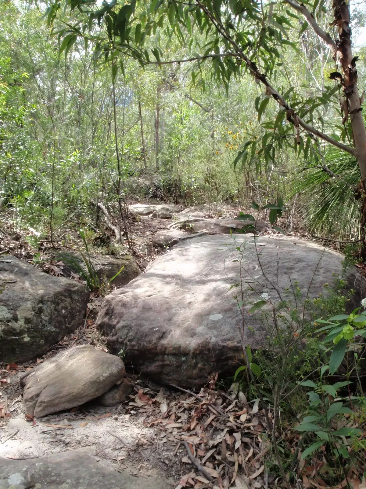
After another 105 m veer left, to head along Kurrajong Walking Track.
|
|
|

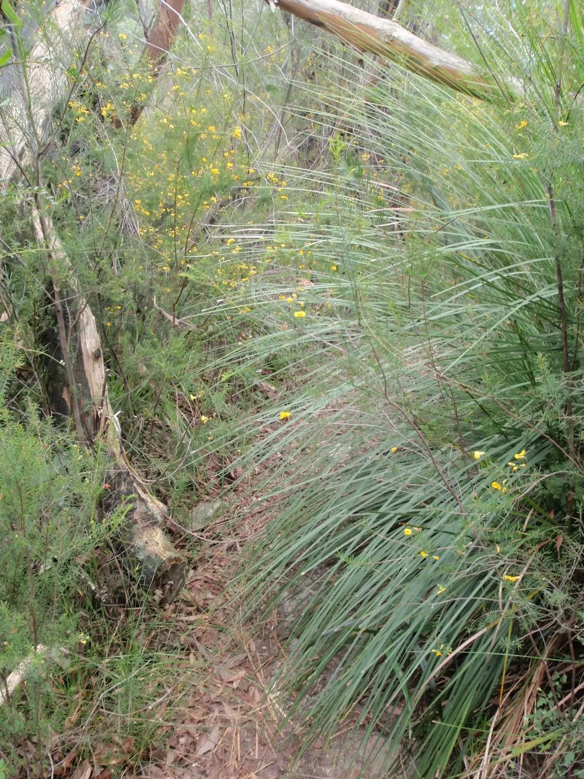
After another 135 m turn right, to head along Kurrajong Walking Track.
After another 25 m continue straight, to head along Kurrajong Walking Track.
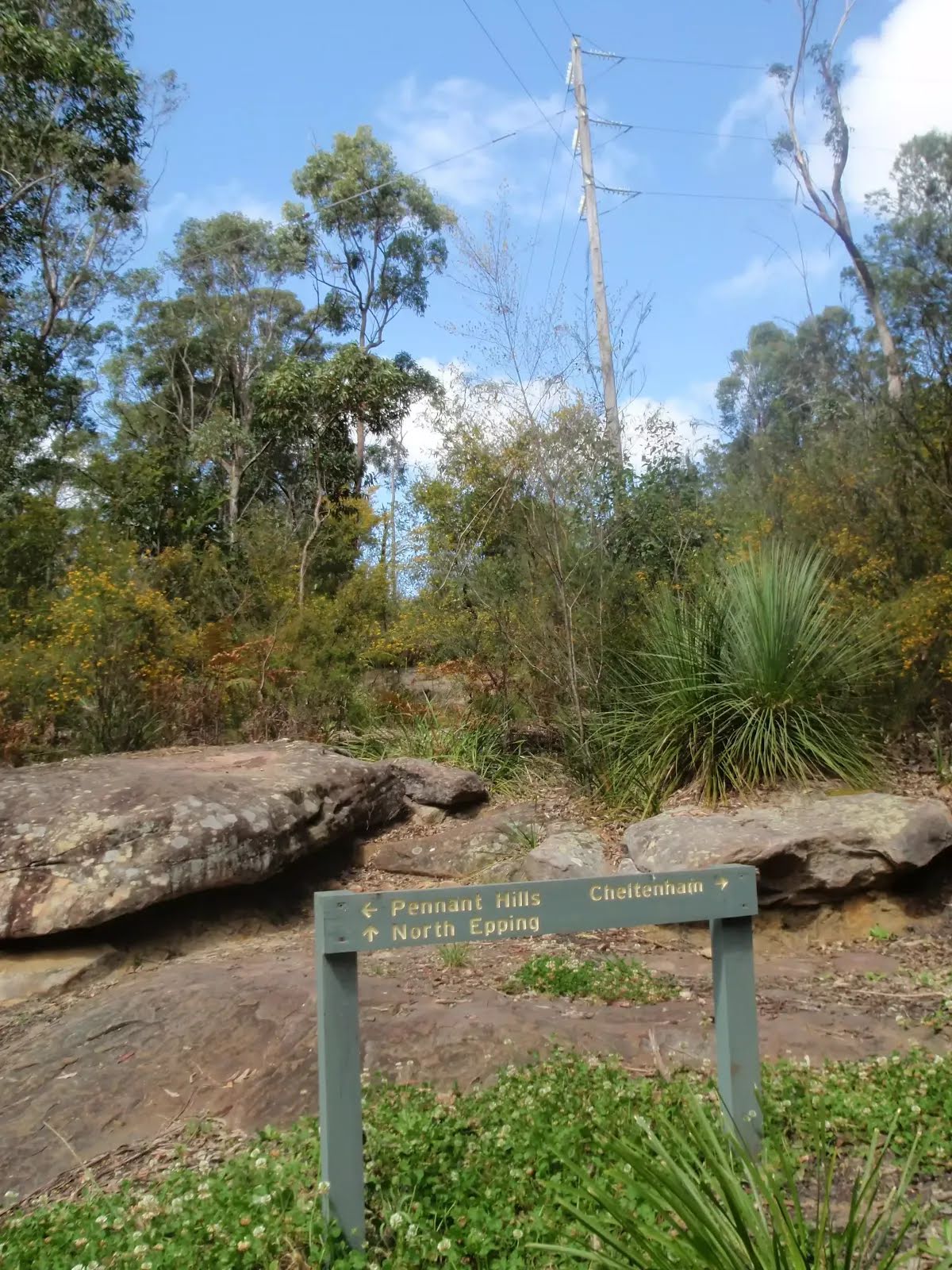
After another 25 m pass the sign (on your left).
|
|
|
At the intersection of Day Road Fire Trail & Byles Creek Track turn right, to head along Day Road Fire Trail (a vehicle track).
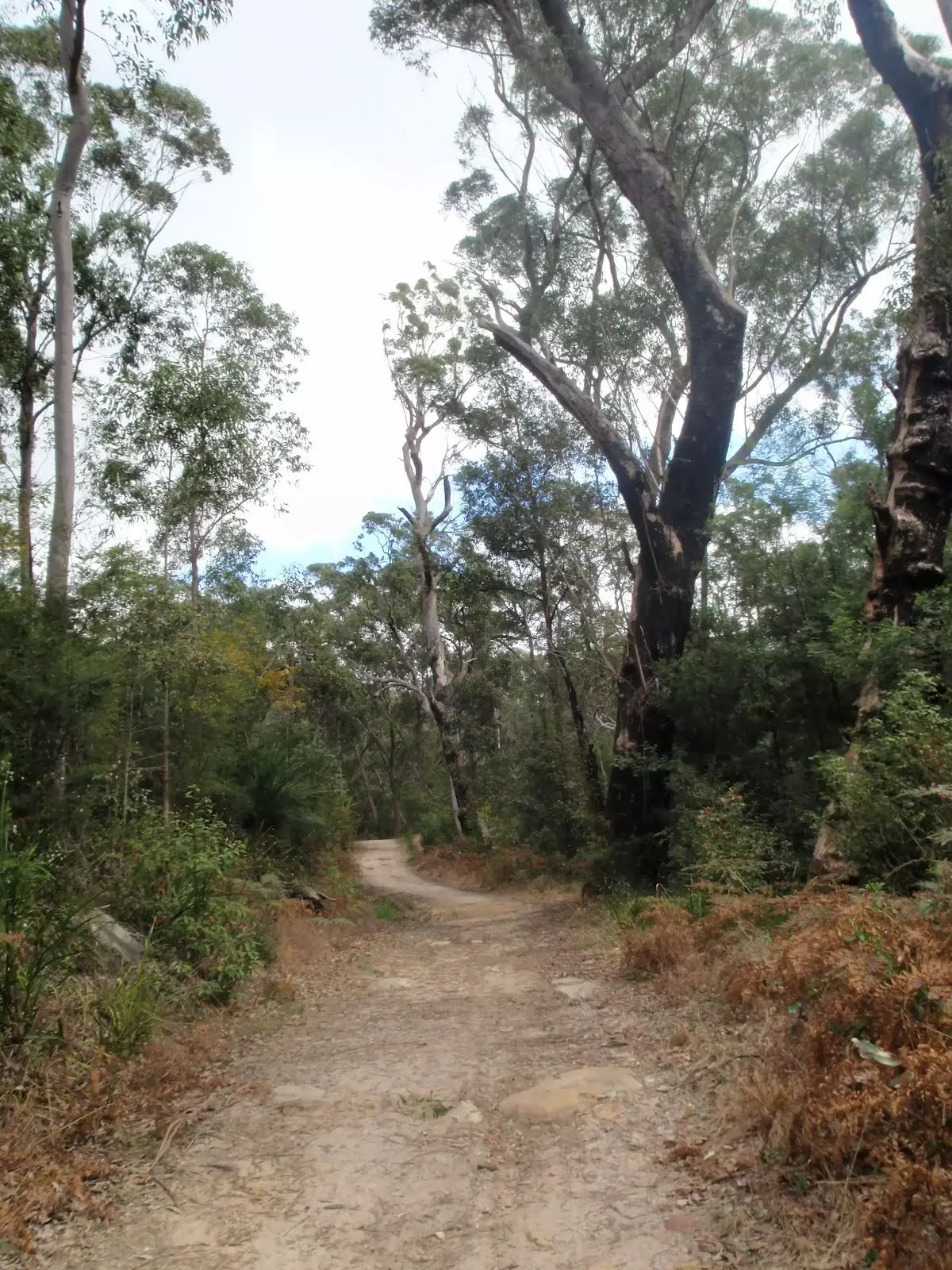
After another 80 m continue straight, to head along Day Road Fire Trail.

After another 135 m pass the picnic table (9 m on your right).

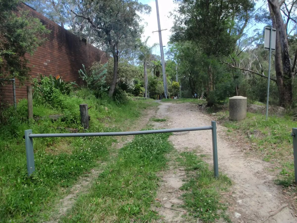
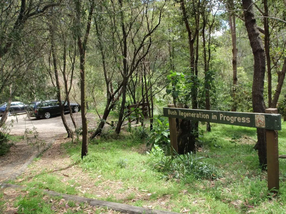
After another 105 m pass the car park (20 m on your right).
|
|
|
At the intersection of Malton Road & Day Road continue straight, to head along Day Road.
After another 60 m (at the intersection of Day Road & Robecq Avenue) continue straight, to head along Day Road.
|
|
|
After another 390 m (at the intersection of Sutherland Road & Day Road) turn right, to head along Sutherland Road.
After another 130 m to find the car park.
|
|
|
After another 60 m turn left.
After another 10 m to find the car park.
Then come to a park.

The end.
|