
| Start | (-33.6599968,151.1587716) |
| Mode | Bus Car (A park entry fee is required for driving into the park.) |
| Directions | From Ku-Ring-Gai Chase Road Offramp, Asquith.
|

|
|
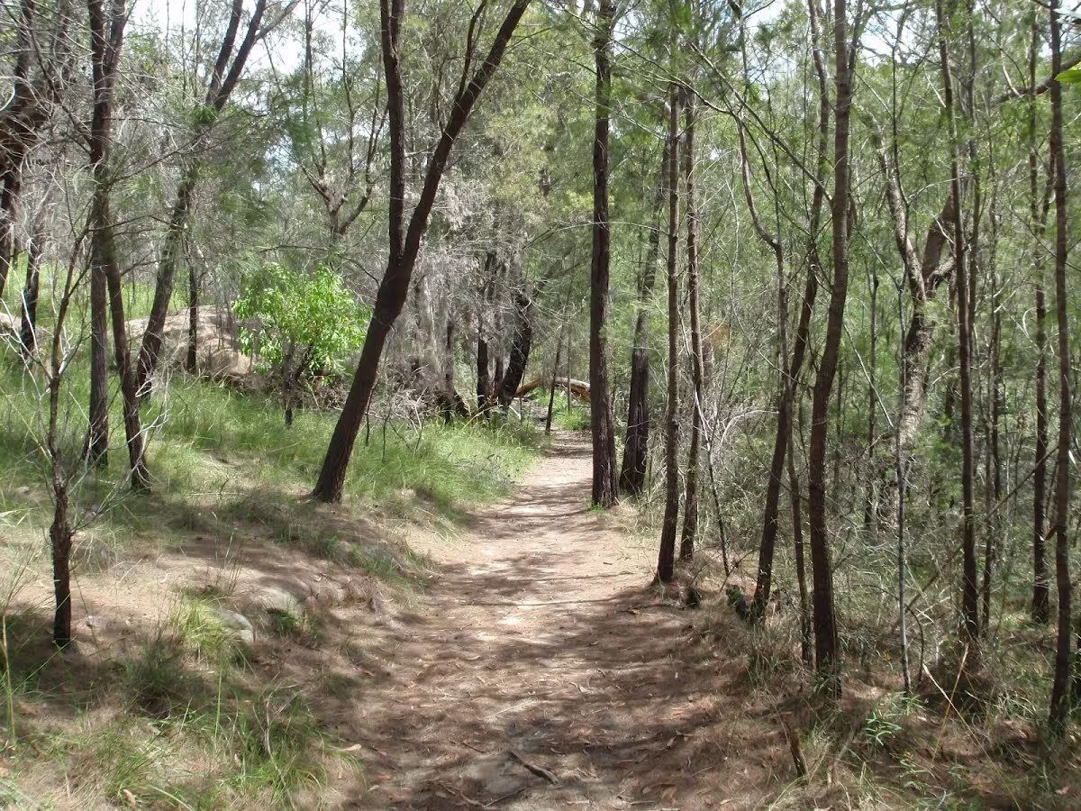
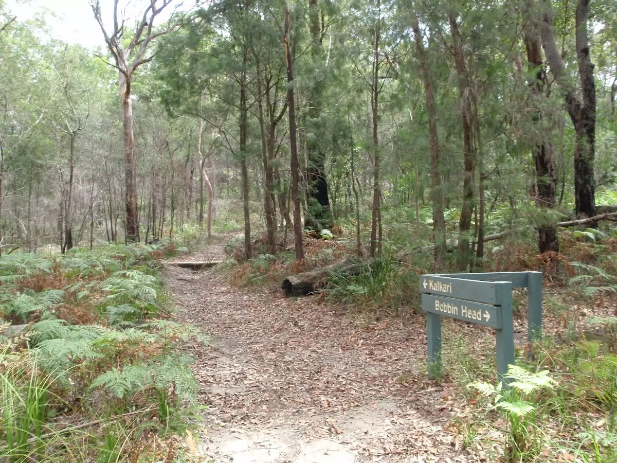
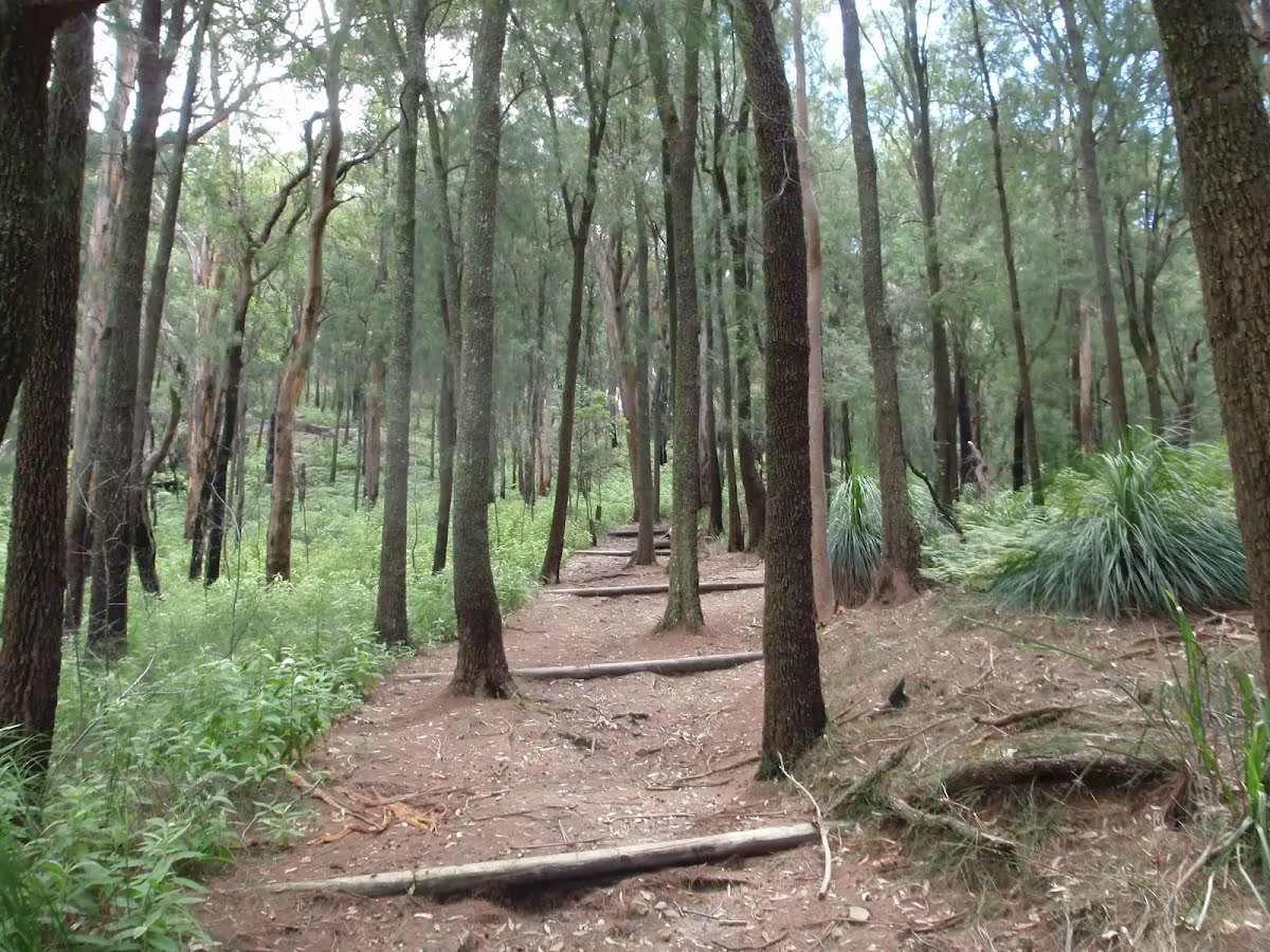
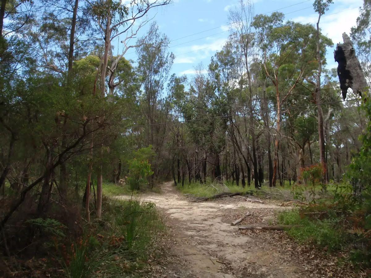
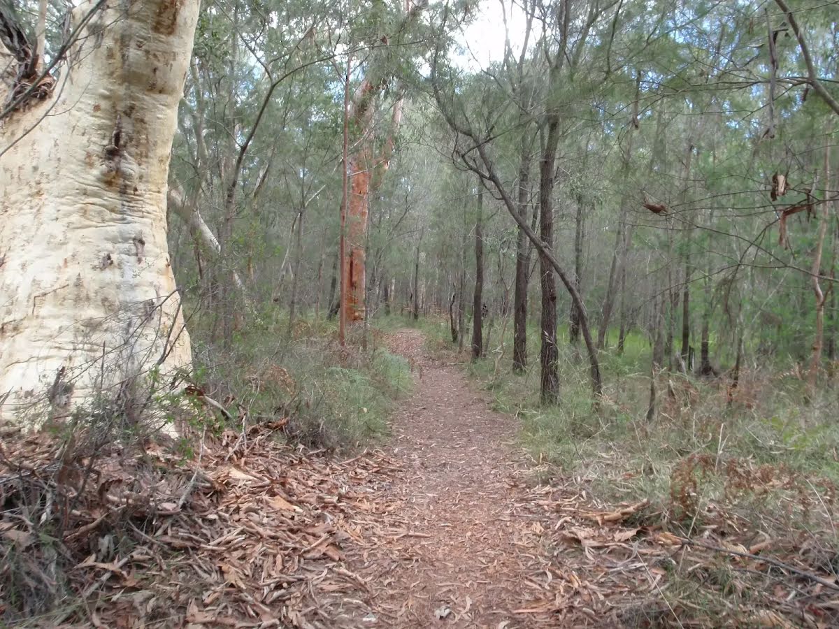
Class 3/6 Moderate track |
|---|---|
| Length | 4.4 km |
| Time | 2 h to 4 h |
| Quality of track | Formed track, with some branches and other obstacles (3/6) |
| Gradient | Short steep hills (3/6) |
| Signage | Directional signs along the way (3/6) |
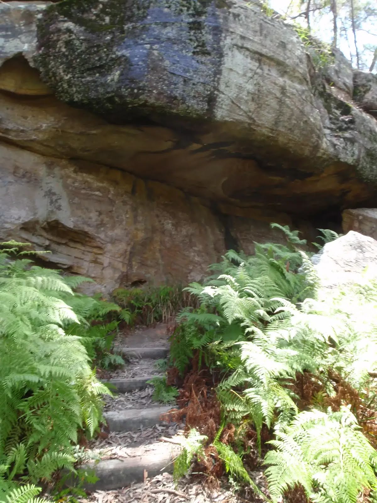
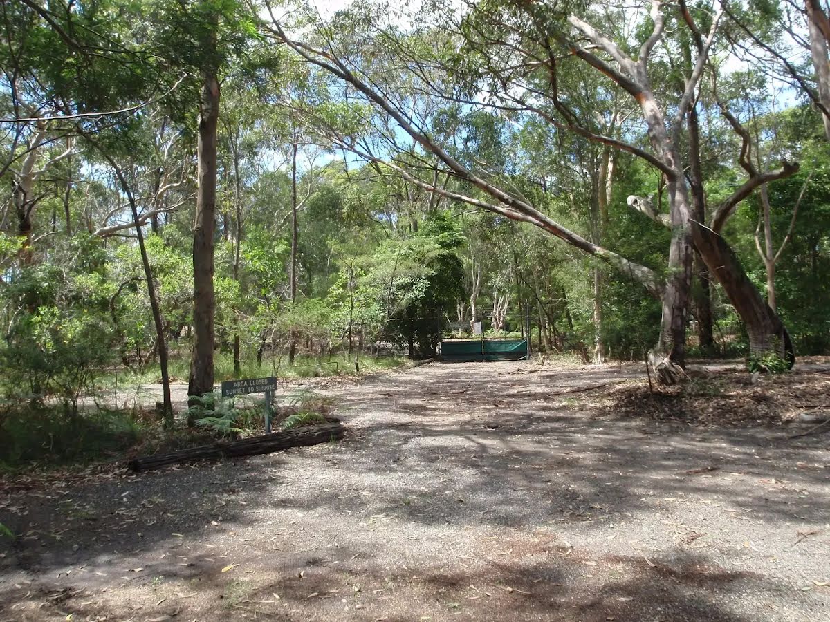
| Infrastructure | Limited facilities, not all cliffs are fenced (3/6) |
| Experience Required | Some bushwalking experience recommended (3/6) |
| Weather | Weather generally has little impact on safety (1/6) |
| Item | From Start | Name & link to notes |
|---|---|---|
Toilet
| 90 m | [toilet] |
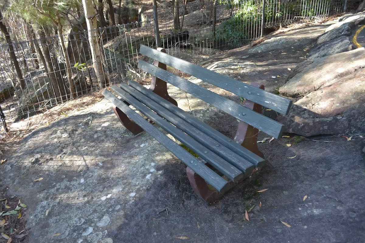
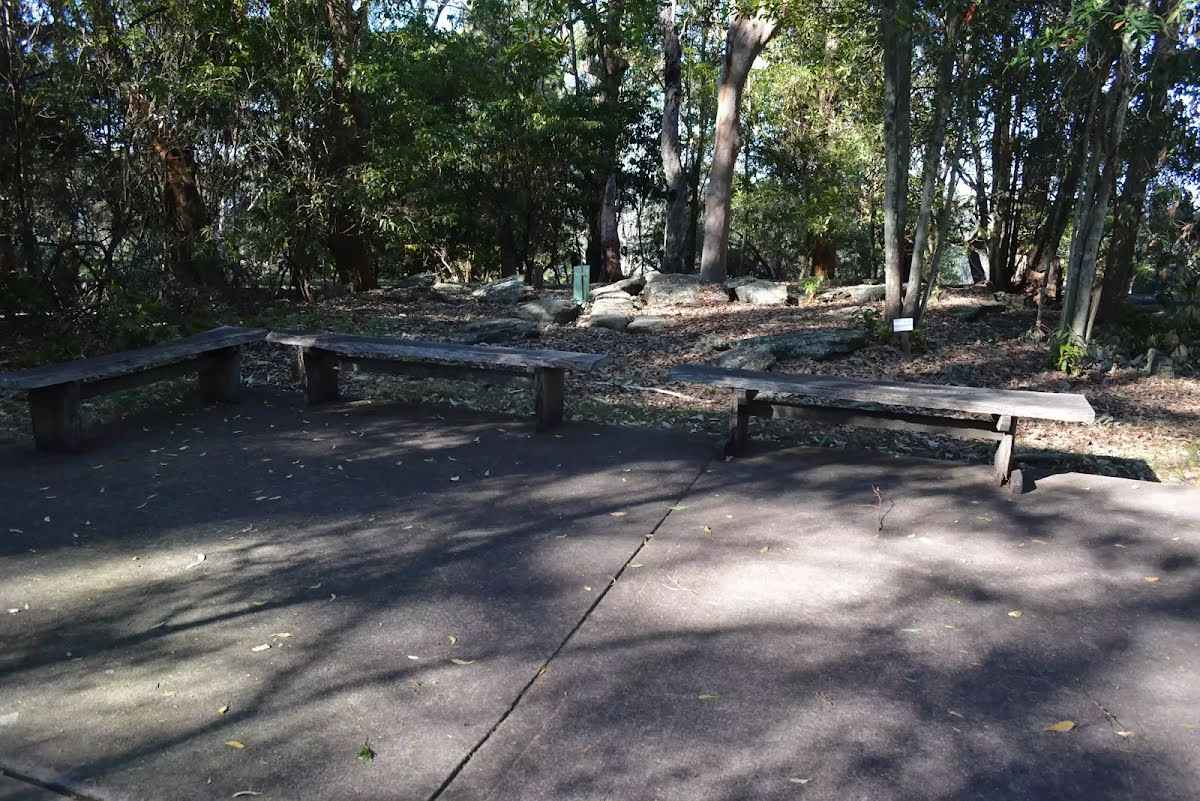
Seat
| 1.9 km | Seat |
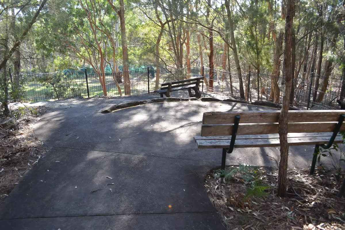
Seat
| 2.2 km | Seat |
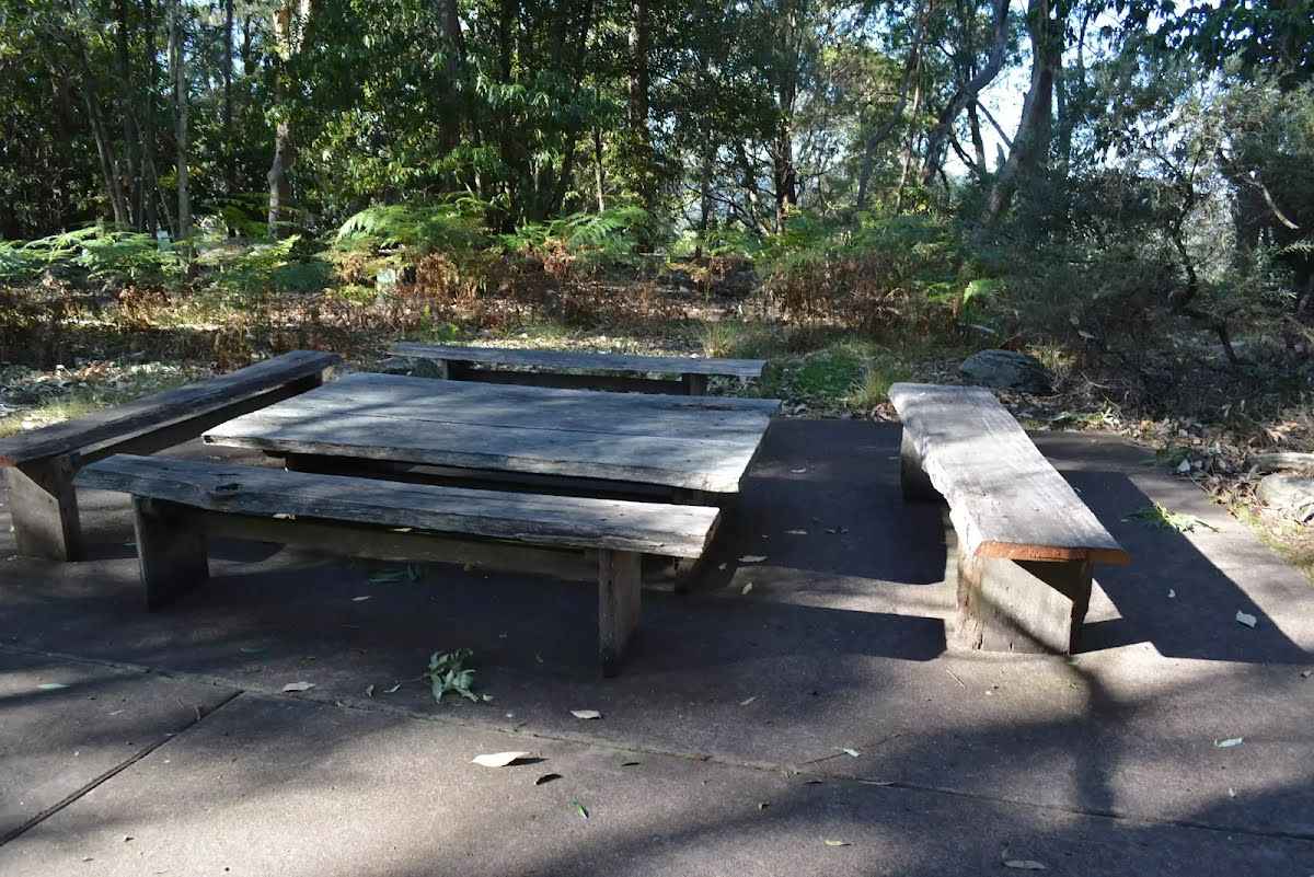
Seat
| 2.2 km | Seat |