| Start | At the intersection of Sandy Creek Walking Track & North Tura Road (-36.8290906,149.9343291) |
| Mode | Car (There is free parking available.) |
| Directions | From Princes Highway, A1
|
| Finish | (-36.8155856,149.9375543) |
| Mode (end) | Car Shuttle Car (A park entry fee is required for driving into the park.) |
| Turn map | Directions & comments |
|---|---|
 |
|
 |
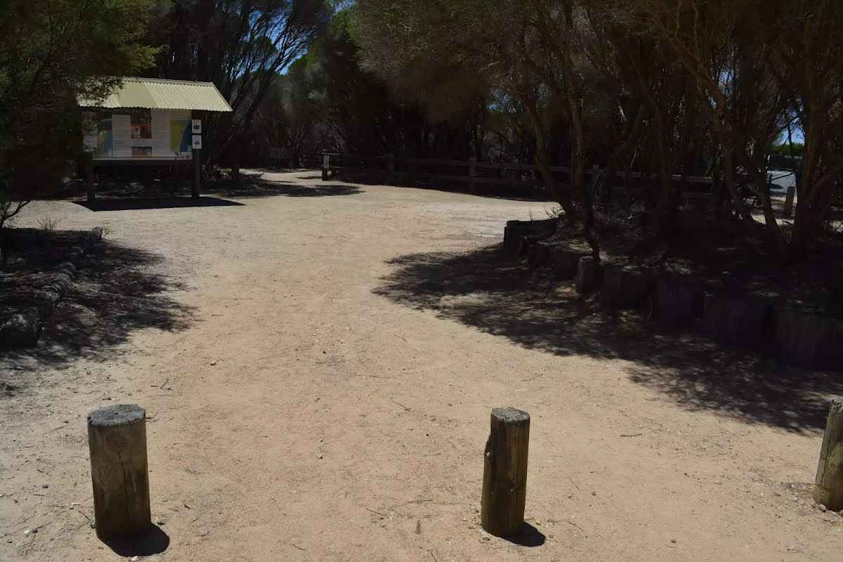
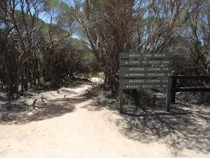
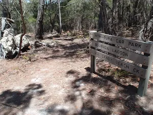
The starting point of an optional sidetrip. An optional side trip to Nth Tura Lookout. To start this optional side trip turn sharp right here. On returning from this side trip veer right when you get back to this intersection. Details below.
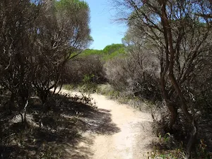
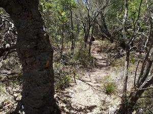
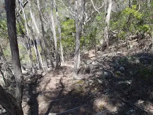
After another 25 m (from the Sandy Creek Walking Track) continue straight, to head along Sandy Creek Walking Track.
|
 |
|
 |
|
 |
|
 |
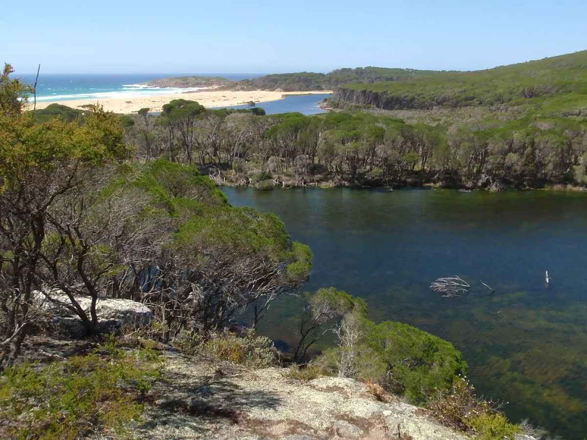
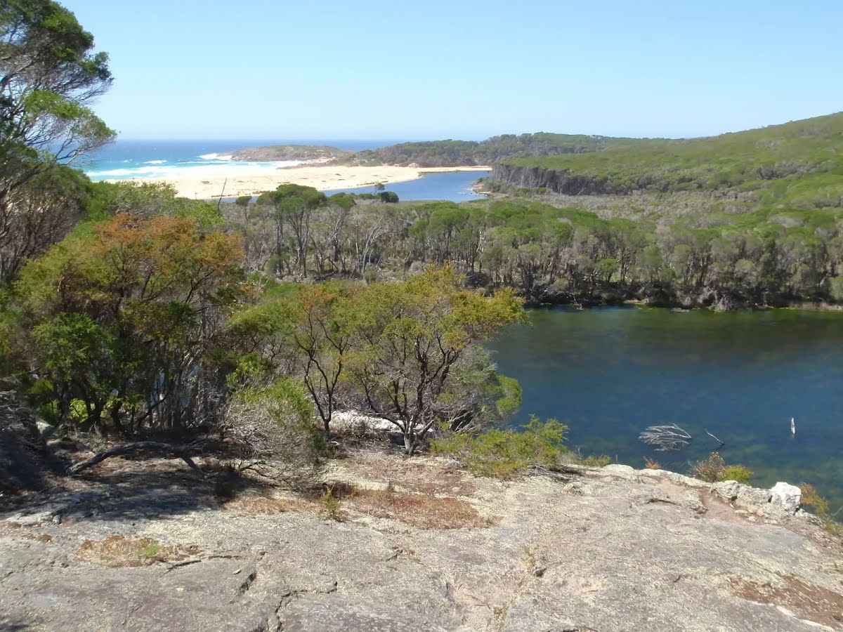
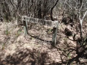
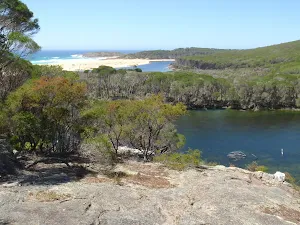
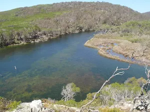
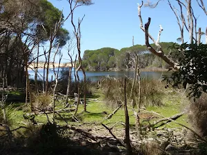
The starting point of an optional sidetrip. An optional side trip to Bournda Lagoon Lookout. To start this optional side trip turn right here. On returning from this side trip turn around when you get back to this intersection. Details below.
|
 |
|
 |
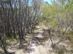
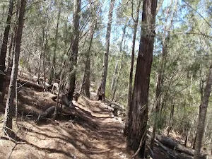
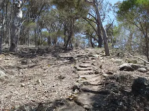
After another 95 m (from the Sandy Creek Walking Track) continue straight, to head along Sandy Creek Walking Track.
|
 |
|
 |
|

|
|
Class 4/6 Hard track |
|---|---|
| Length | 3.5 km |
| Time | 1 h 15 min to 2 h 30 min |
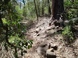
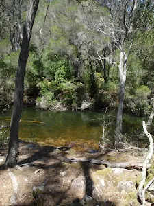
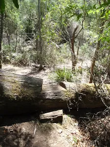
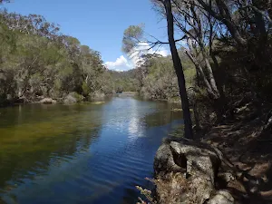
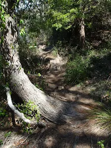
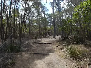
| Quality of track | Rough track, where fallen trees and other obstacles are likely (4/6) |
| Gradient | Very steep (4/6) |
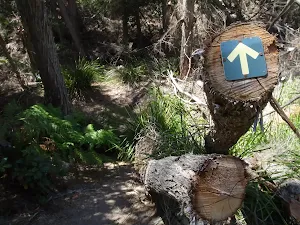
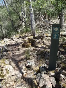
| Signage | Directional signs along the way (3/6) |
| Infrastructure | Limited facilities (such as cliffs not fenced, significant creeks not bridged) (4/6) |
| Experience Required | No experience required (1/6) |
| Weather | Storms may impact on navigation and safety (3/6) |
| Item | From Start | Name & link to notes |
|---|---|---|
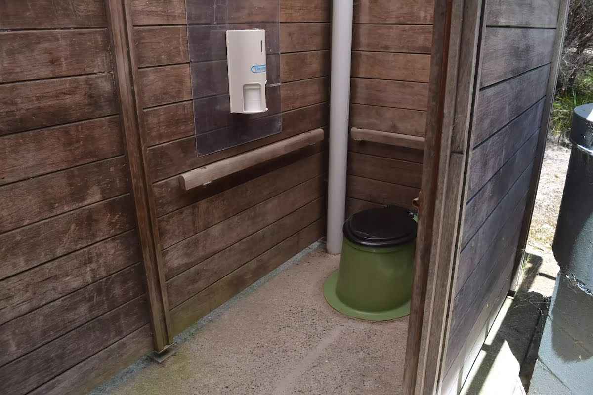
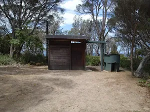
Entity|toilet
| 45 m | Toilet |
Seat
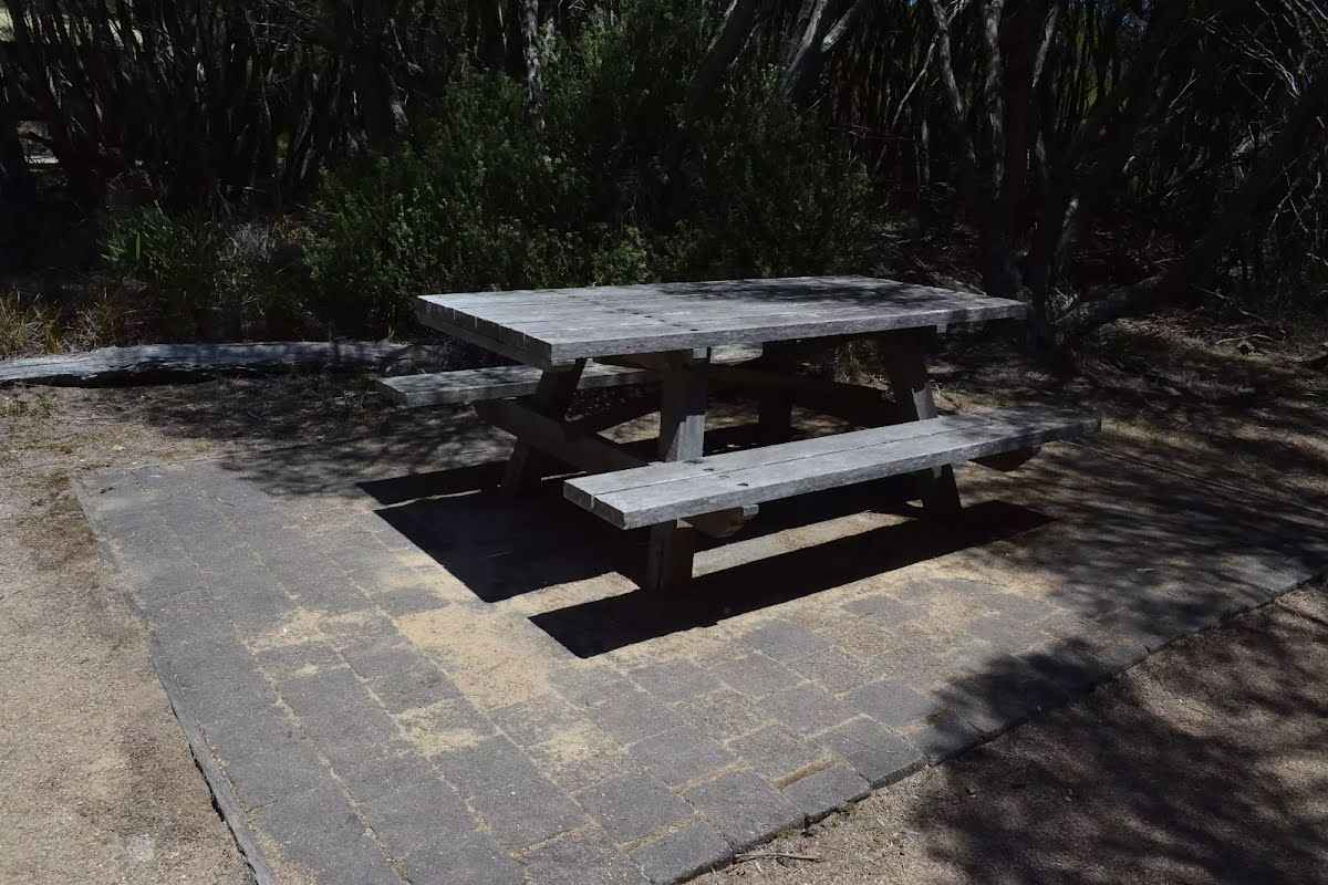
| 95 m | [seat] |
Toilet
| 3.5 km | [toilet] |