| Start | (-34.2106562,151.0059716) |
| Mode | Car (There is free parking available.) Train |
| Directions | From , Helensburgh. |
| Finish | From the Brighton Street (-34.0827445,151.1511264) |
| Mode (end) | Car Shuttle Car (There is free parking available.) Ferry |
| Turn map | Directions & comments |
|---|---|
 |
|
 |
|
 |
|
 |
|
 |
|
 |
|
 |
|
 |
|
 |
|
 |
|
 |
|
 |
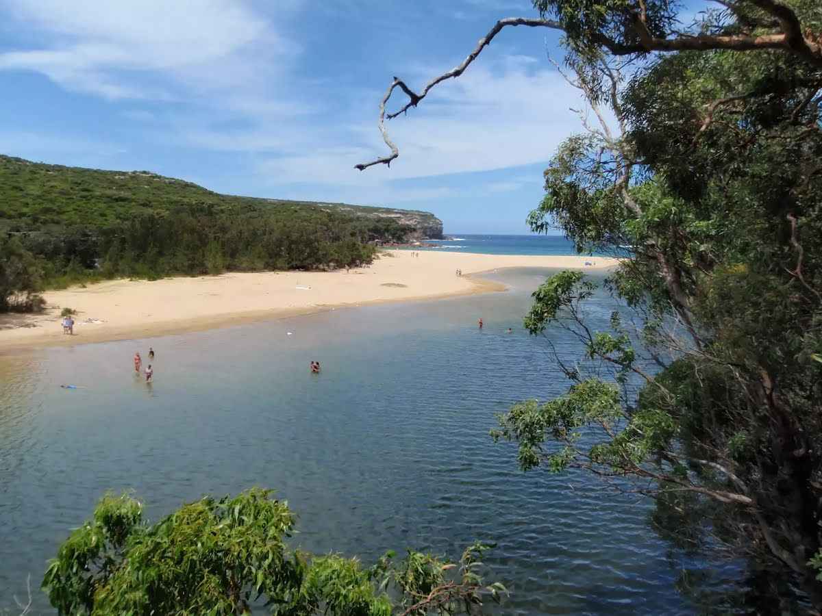
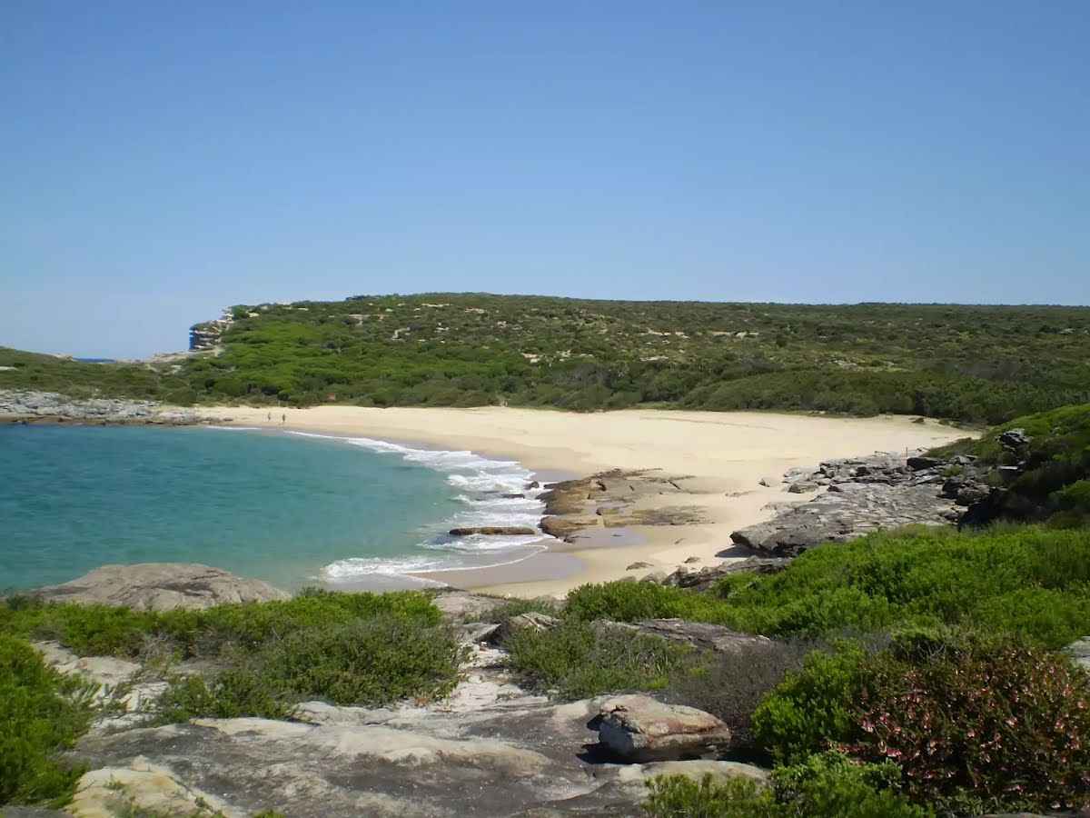
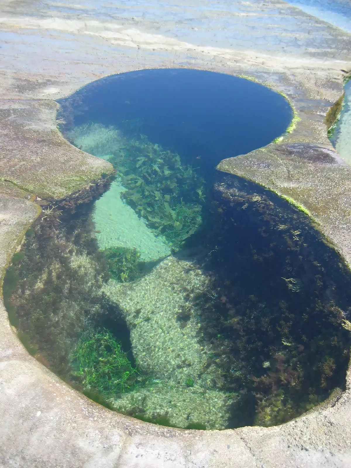
The starting point of an optional sidetrip. An optional side trip to Figure 8 Pools. To start this optional side trip continue straight here. On returning from this side trip turn right when you get back to this intersection. Details below.
|
 |
|
 |
|
 |
|
 |
|
 |
|
 |
|
 |
|
 |
|
 |
|
 |
|
 |
|
 |
|
 |
|
 |
|
 |
|
 |
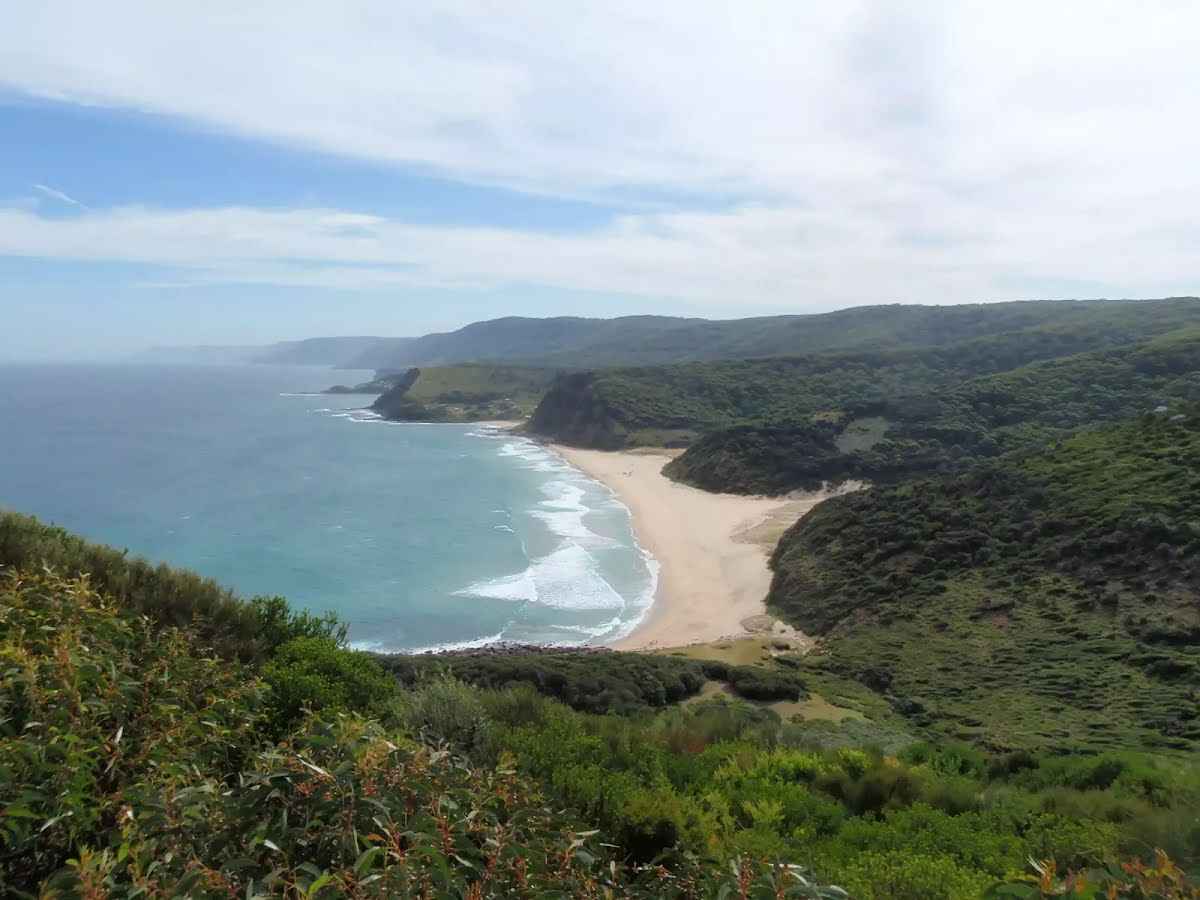
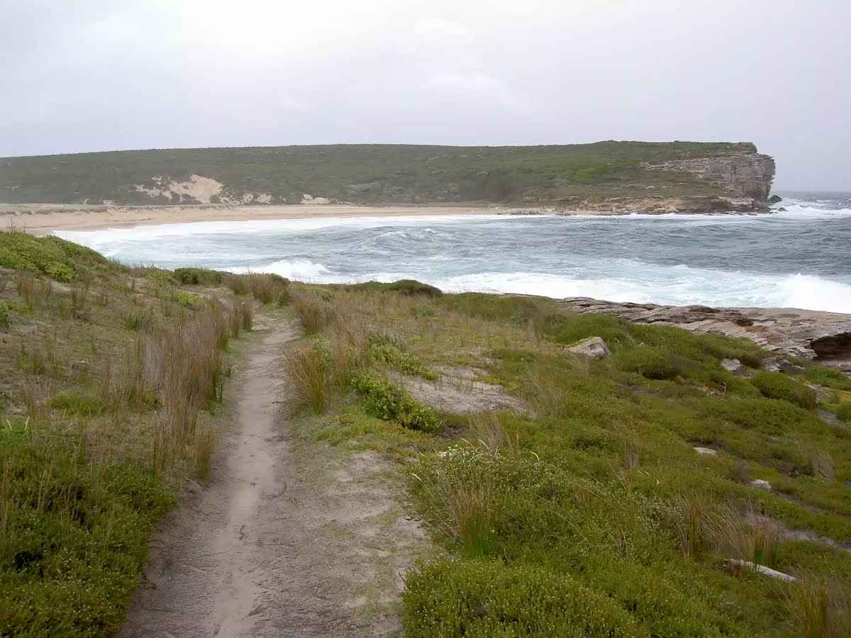
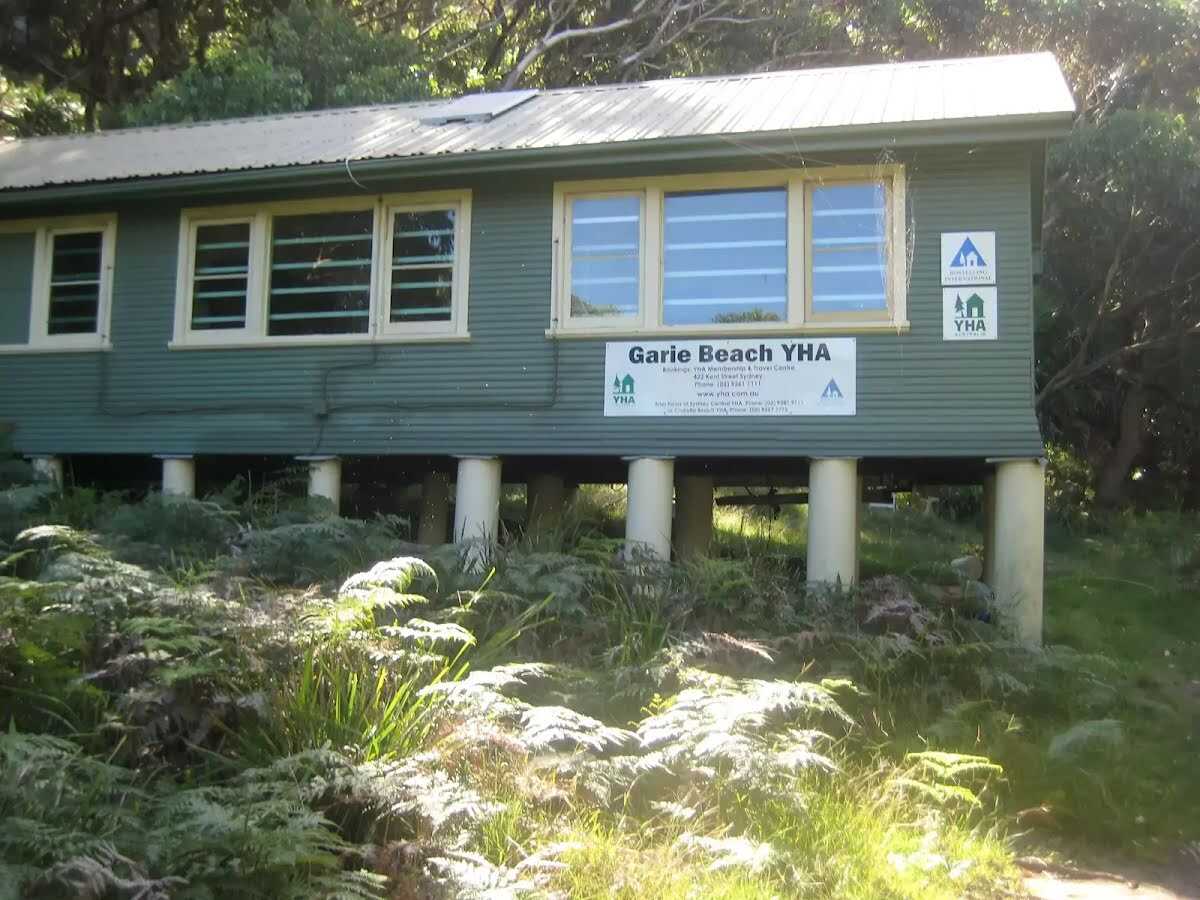
The starting point of an optional sidetrip. An optional side trip to Garie Beach YHA. To start this optional side trip turn left here. On returning from this side trip turn around when you get back to this intersection. Details below.
|
 |
|
 |
|
 |
|
 |
|
 |
|
 |
|
 |
|
 |
|
 |
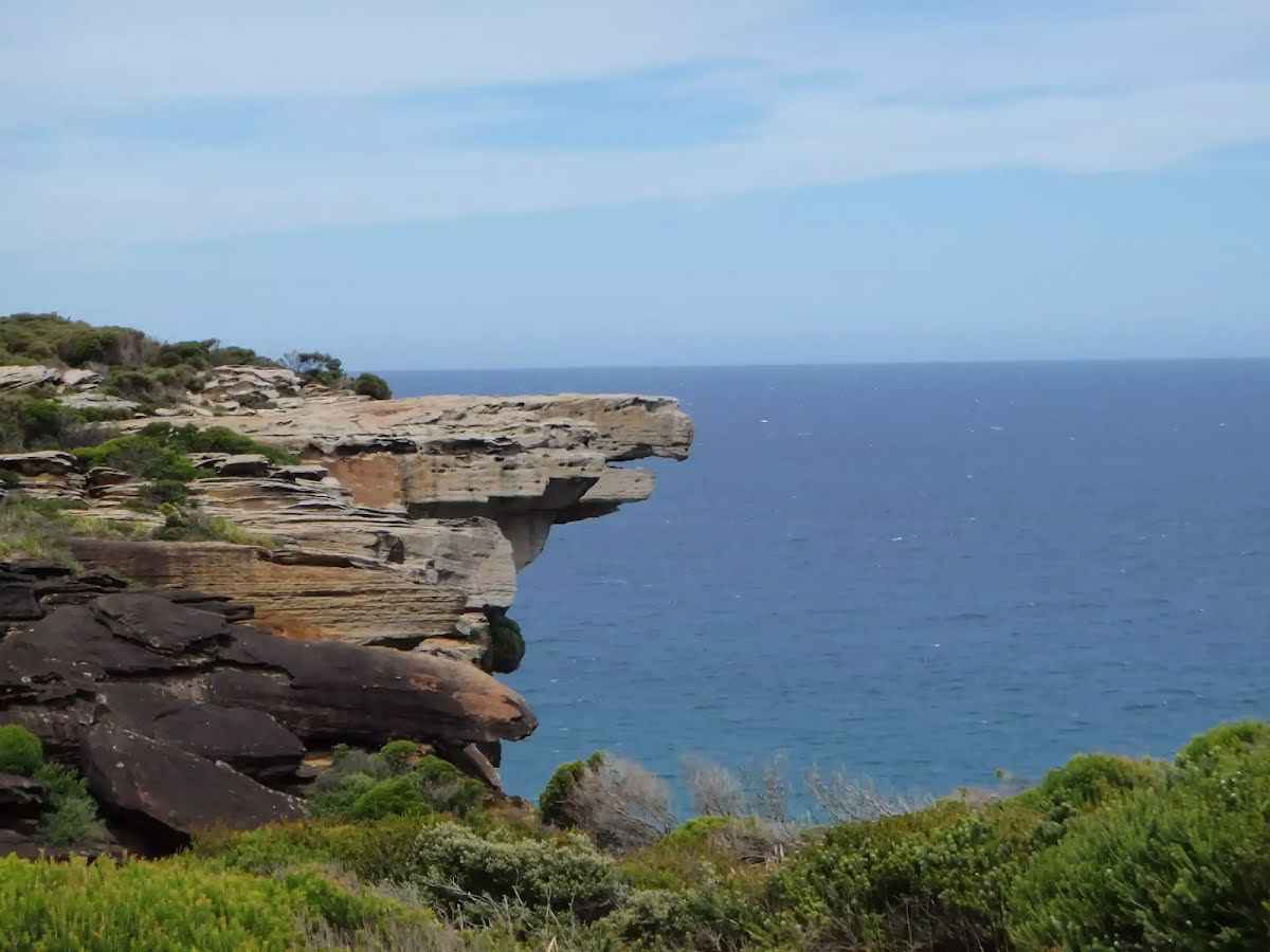
The starting point of an optional sidetrip. A tiny side trip to a lookout. To start this optional side trip turn right here. On returning from this side trip turn right when you get back to this intersection. Details below.
|
 |
|
 |
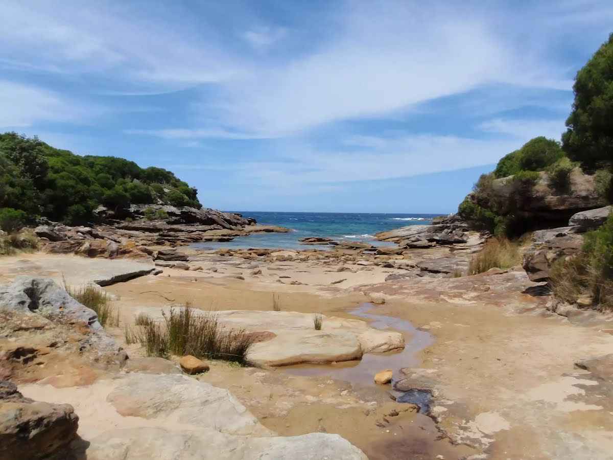
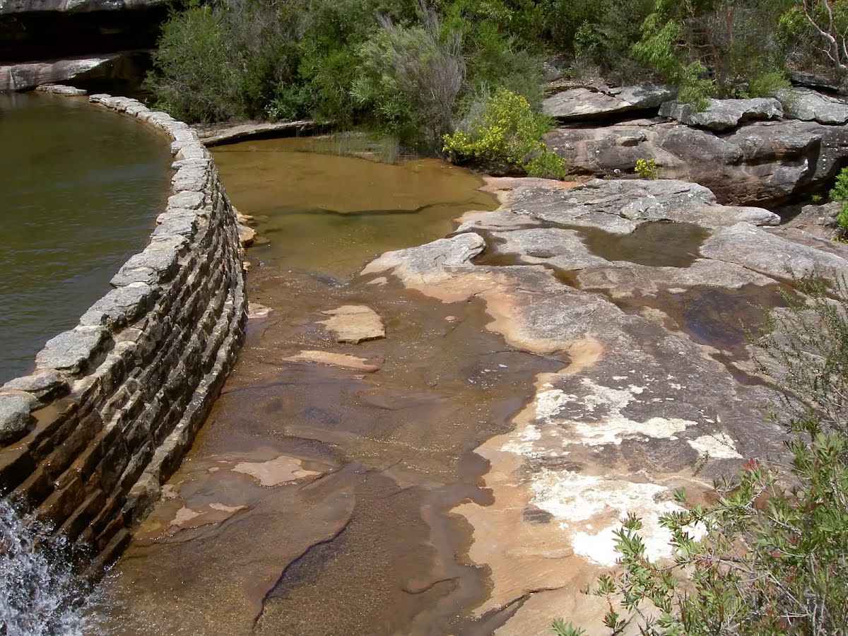
The starting point of an optional sidetrip. An optional side trip taking you to a small waterfall and rock pool along the Curracurrang Gully. To start this optional side trip turn left here. On returning from this side trip turn sharp right when you get back to this intersection. Details below.
|
 |
|
 |
|
 |
|
 |
|
 |
|
 |
|
 |
|
 |
|
 |
|
 |
|
 |
|
 |
|
 |
|
 |
|
 |
|
 |
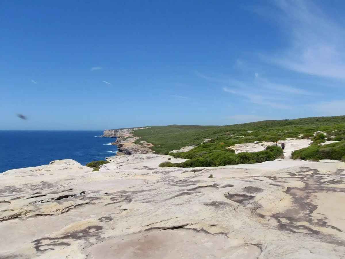
The starting point of an alternate route. An alternate route visiting a viewpoint. To take the alternate route veer right here. Details below.
|
 |
The alternate route finishes here. Turn right to rejoin the main route at the 23.7 km waypoint. Details below.
|
 |
|
 |
The starting point of an optional sidetrip. An optional side trip taking you to an abandoned cave house. To start this optional side trip turn right here. On returning from this side trip veer right when you get back to this intersection. Details below.
|
 |
|
 |
|
 |
|
 |
|
 |
|
 |
|
 |
|
 |
|
 |
|
 |
|
 |
|
 |
|
 |
|
 |
|
 |
|
| Turn map | Directions & comments |
|---|---|
 |
| Turn map | Directions & comments |
|---|---|
 |
|
 |
| Turn map | Directions & comments |
|---|---|
 |
|
 |
|
 |

|
|
Class 4/6 Hard track |
|---|---|
| Length | 27.7 km |
| Time | 9 h to 2 days |
| Quality of track | Formed track, with some branches and other obstacles (3/6) |
| Gradient | Very steep (4/6) |
| Signage | Directional signs along the way (3/6) |
| Infrastructure | Limited facilities, not all cliffs are fenced (3/6) |
| Experience Required | Some bushwalking experience recommended (3/6) |
| Weather | Weather generally has little impact on safety (1/6) |
| Item | From Start | Name & link to notes |
|---|---|---|
Toilet
| 75 m | [toilet] |
Toilet
| 5.7 km | [toilet] |
Camp site
| 8.1 km | North Era Beach Campground |
Seat
| 8.3 km | [seat] |
Seat
| 8.6 km | [seat] |
Seat
| 9.6 km | [seat] |
Toilet
| 9.6 km | [toilet] |
Seat
| 9.6 km | [seat] |
Seat
| 9.6 km | [seat] |
Campsite
| 9.9 km + 380 m | YHA Garie Beach - Destroyed |
Toilet
| 17.1 km | [toilet] |
Toilet
| 17.2 km | [toilet] |
Toilet
| 26.1 km | [toilet] |
Seat
| 27.3 km | [seat] |
Seat
| 27.5 km | [seat] |
Toilet
| 27.5 km | [toilet] |
Shelter
| 27.5 km | [shelter] |
Toilet
| 27.5 km | [toilet] |
Seat
| 27.6 km | [seat] |
Seat
| 27.6 km | [seat] |
Shelter
| 27.7 km | Ferry Shelter |