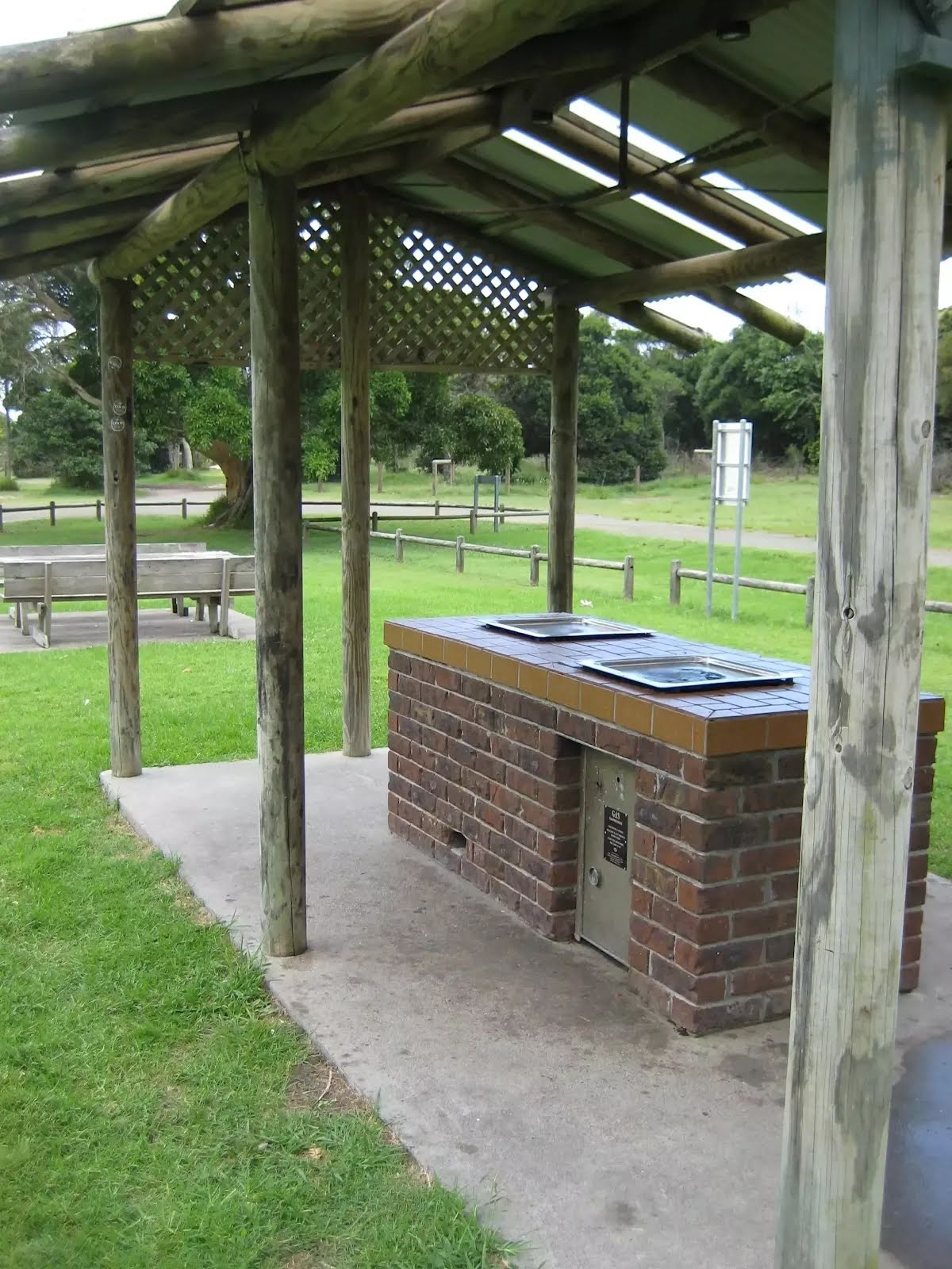
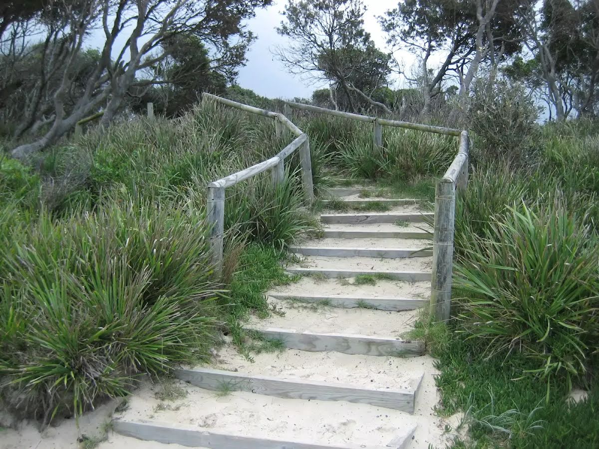
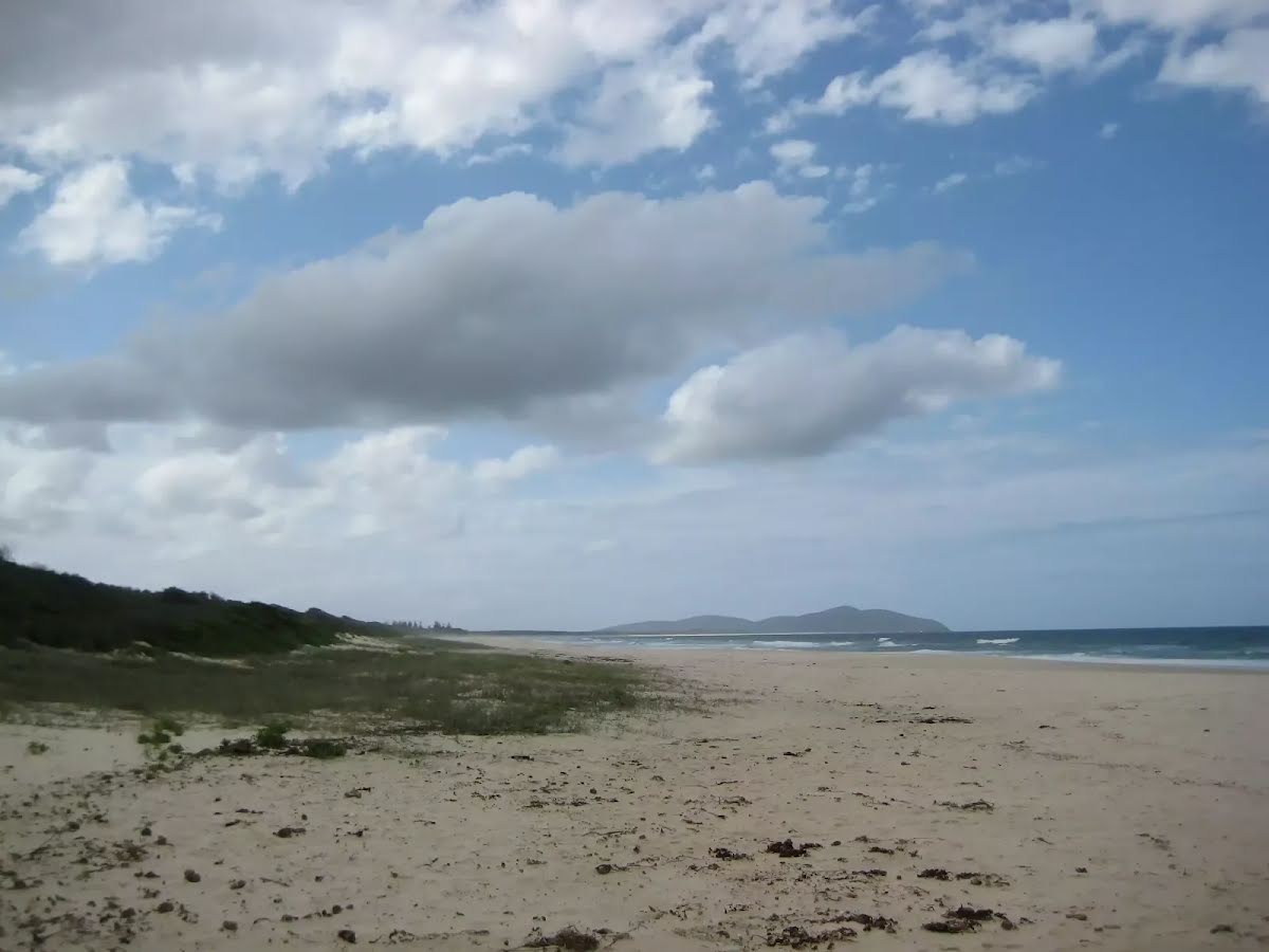
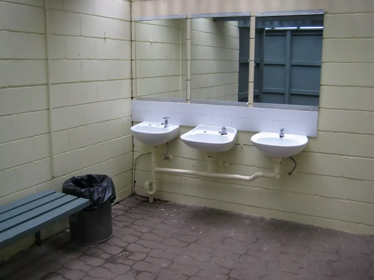
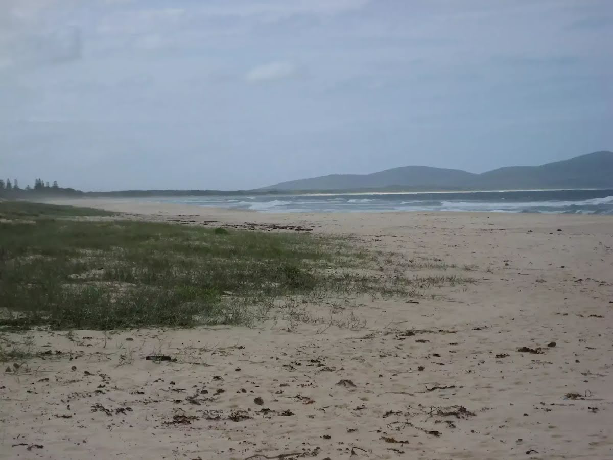
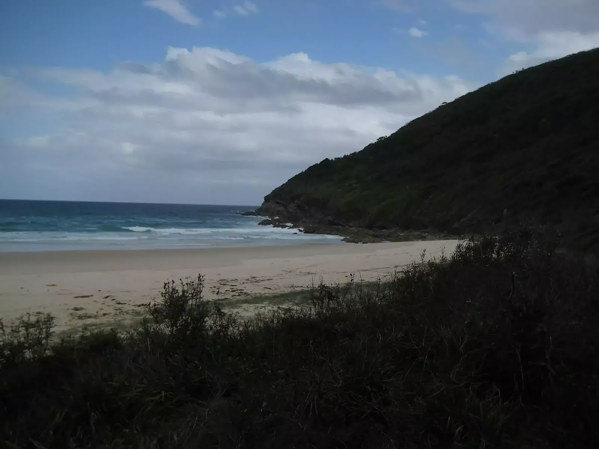
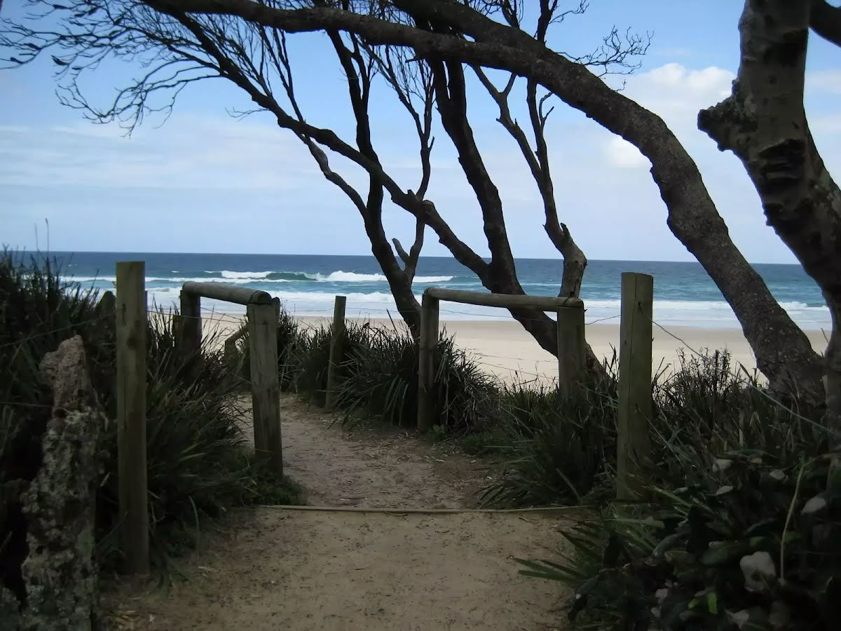
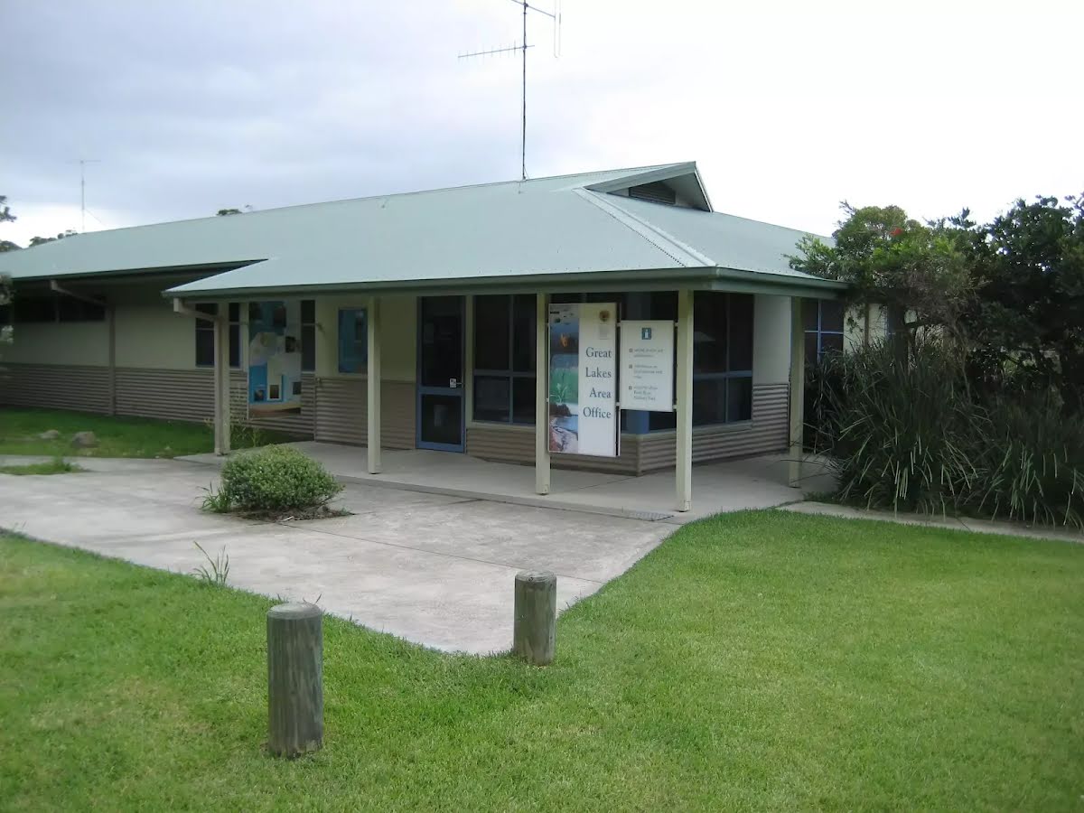
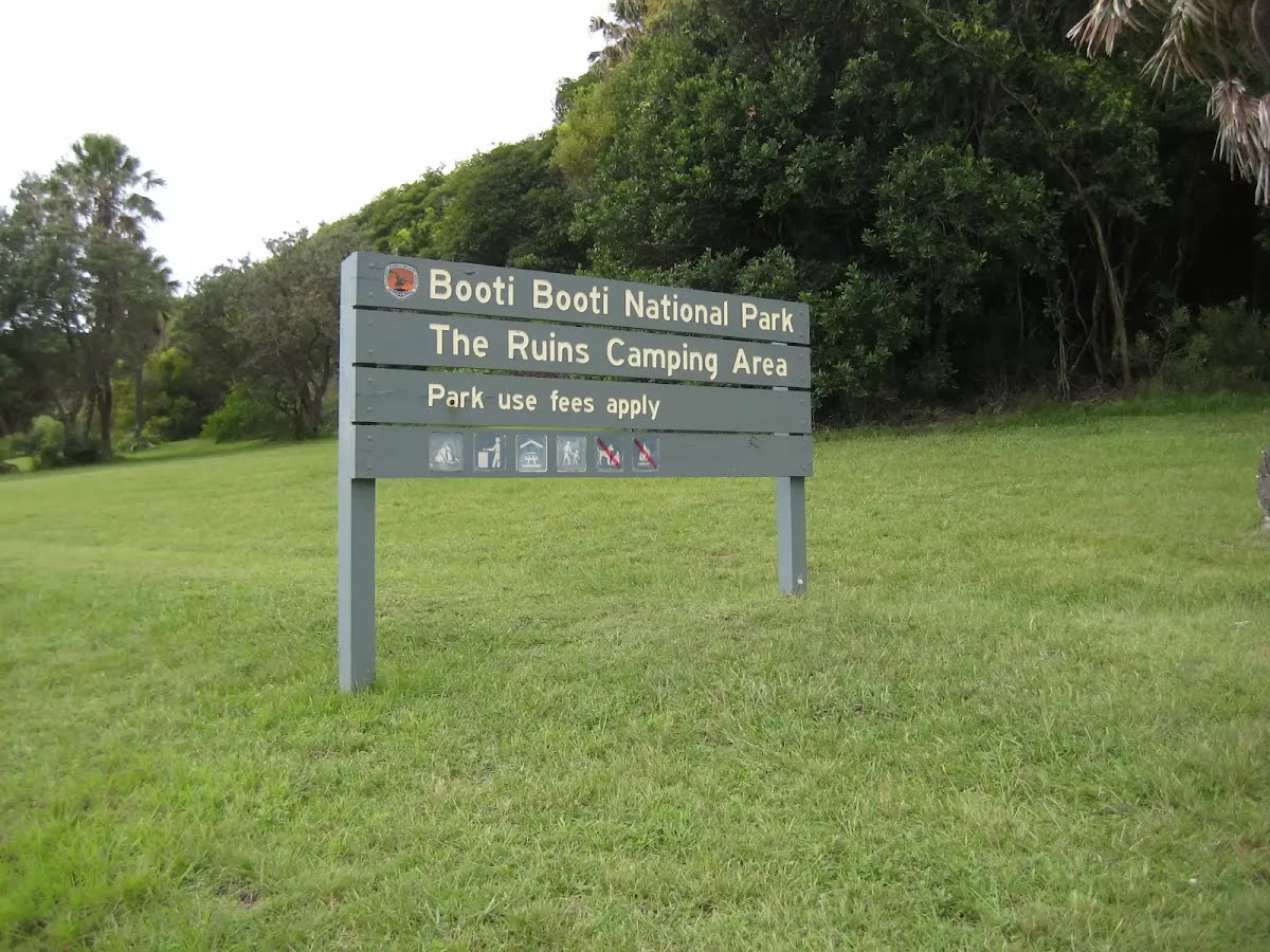
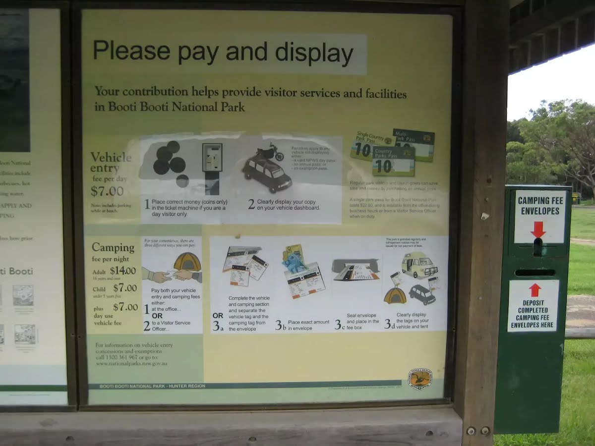
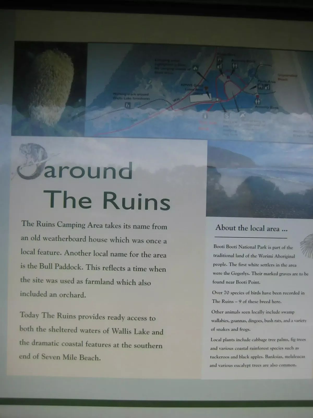
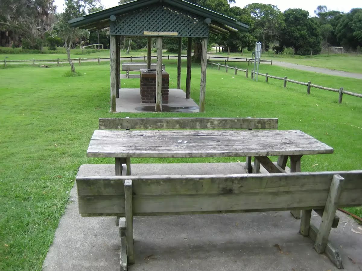
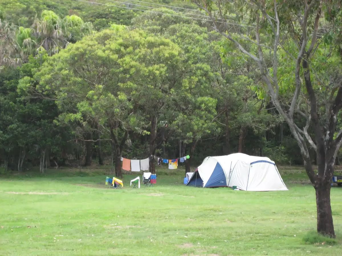
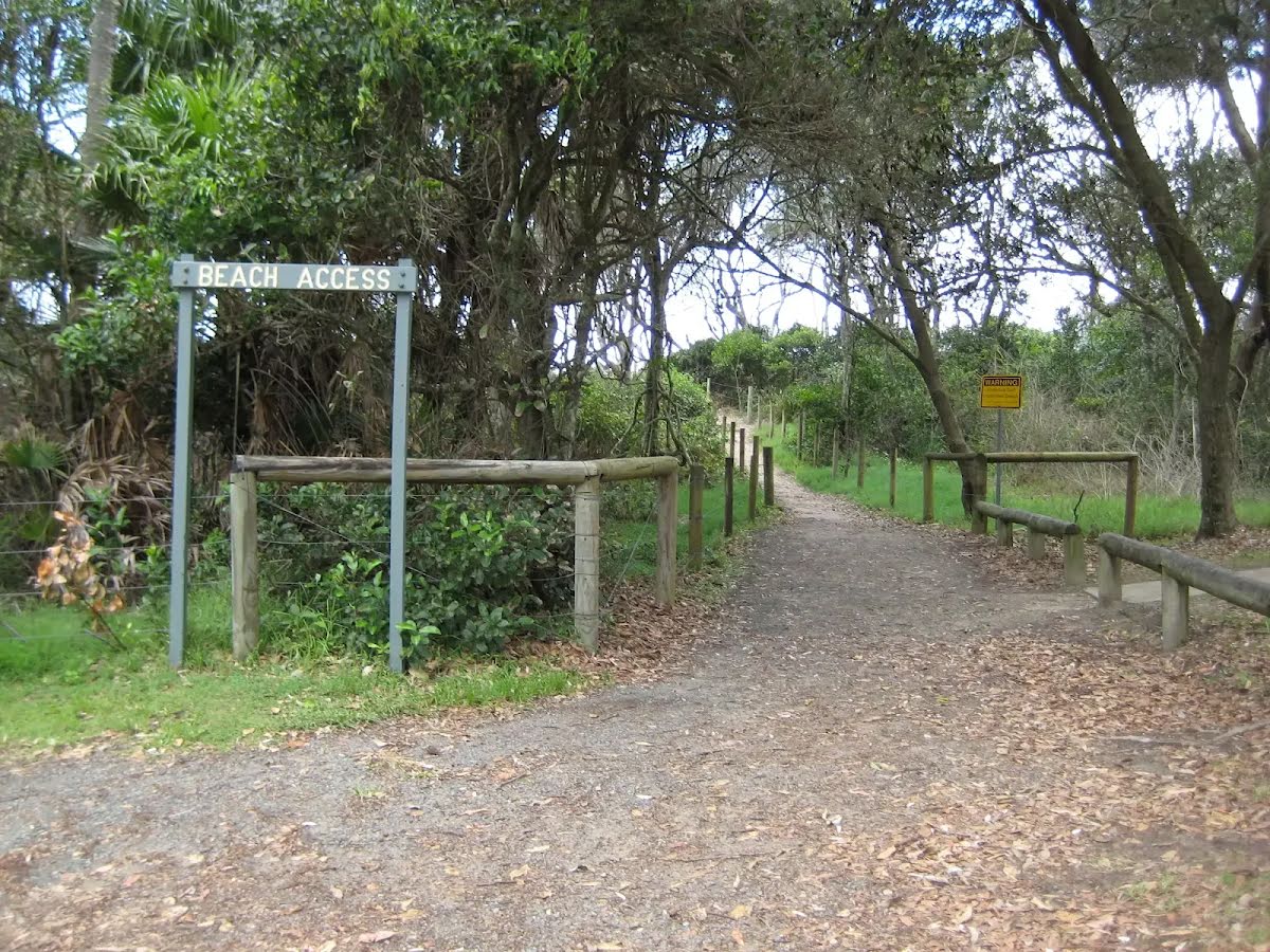
Starting from the Ruins Campground off the Lakes Way, Booti Booti, this walk takes you on a circuit around Booti Booti National Park via the Booti Hill and Wallis Lake Loop Walk. This moderately easy walk explores Booti Booti National Park, located on a narrow peninsula between the Pacific Ocean and Wallis Lake, climbing up Booti Hill and returning along the lake shore. The walk initially heads to the southern end of Seven Mile Beach, then follows the Booti Hill Walking Track through a dry eucalypt forest, climbing a series of steps up the northern side of Booti Hill, passing a small clearing with scenic views of Seagull Point before entering dense rainforest. After reaching the ridge crest above Lindemans Cove, the walk descends towards Elizabeth Beach, passing an optional side trip to the beach, then follows a fire track to the Sunset Picnic Area, which offers excellent views across Wallis Lake to Wallingat National Park. From there, the walk follows the Lakeside Walking Track along the shore of Wallis Lake, a popular spot for swimming, kayaking and fishing, passing the Gogerly Cemetery before reaching the campground. This loop consists of wide and narrow walking trails and fire tracks, with uneven natural surfaces, compacted natural surfaces, short steep hills and steps, suitable for average fitness levels, and can also be started from Elizabeth Beach or the Sunset Picnic Area. Let us begin by acknowledging the Traditional Custodians of the land on which we travel today, and pay our respects to their Elders past and present.
Some of the information and maps on this page was generated using data from the awesome
© OpenStreetMap contributors.
Please see how you can
embed some widgets, access data and other stuff to that might be helpful.