| Start | At the intersection of Ironbark Road & Pipeline Trail (-33.3715915,151.1953003) |
| Mode | Car (There is free parking available.) |
| Directions | From Pacific Motorway, M1
|
| Turn map | Directions & comments |
|---|---|
 |
|
 |
|
 |
|
 |
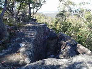
The starting point of an optional sidetrip. An optional side trip to Top of Mt Olive. To start this optional side trip turn left here. On returning from this side trip veer left when you get back to this intersection. Details below.
|
 |
|
 |
Continue another 610 m to find the end. Then turn around here and retrace the main route for 4.1 km to get back to the start.
|
 |
|
 |
|
 |
|
 |
|
 |

|
|
Class 3/6 Moderate track |
|---|---|
| Length | 8.3 km |
| Time | 2 h 45 min to 3 h 15 min |
| Quality of track | Formed track, with some branches and other obstacles (3/6) |
| Gradient | Gentle hills with occasional steps (2/6) |
| Signage | Directional signs along the way (3/6) |
| Infrastructure | Limited facilities, not all cliffs are fenced (3/6) |
| Experience Required | No experience required (1/6) |
| Weather | Weather generally has little impact on safety (1/6) |
| Item | From Start | Name & link to notes |
|---|---|---|
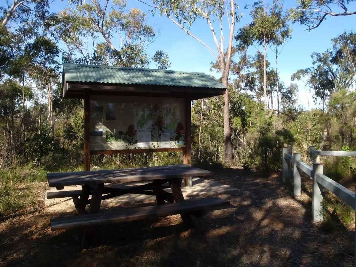
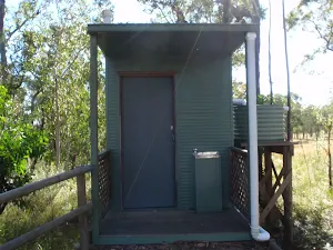
Toilet
| 1.7 km | [toilet] |
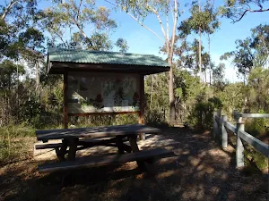
Seat
| 1.7 km | [seat] |