Closed areas: Parts of Blue Mountains National Park closedMany roads, fire trails and walking tracks within Blue Mountains National Park are closed due to infrastructure upgrades or damage caused by wet weather including subsidence, rockfalls, landslides and fallen trees.
The following areas are
closed:
Katoomba and Leura
- Honeymoon Bridge is closed due to rockfall risk.
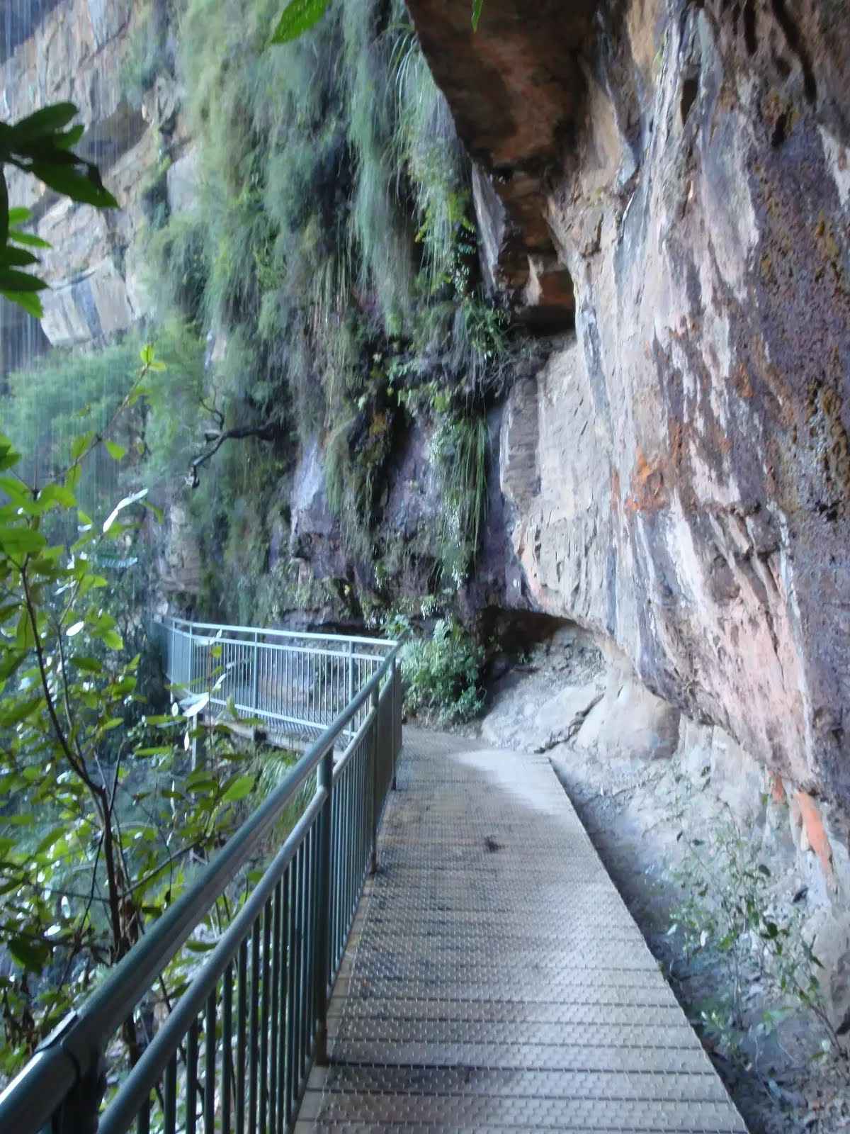
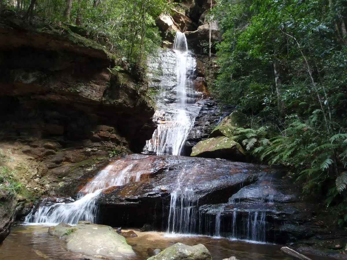
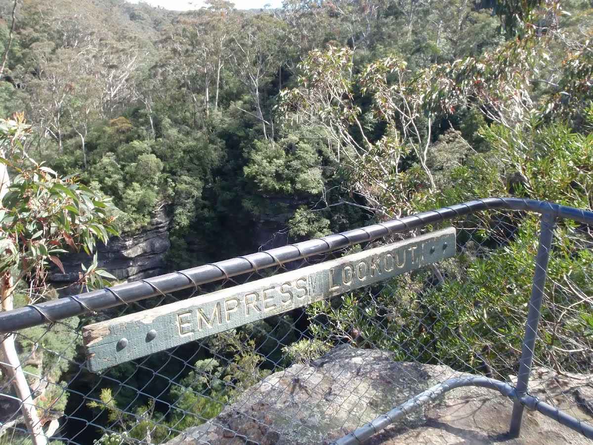
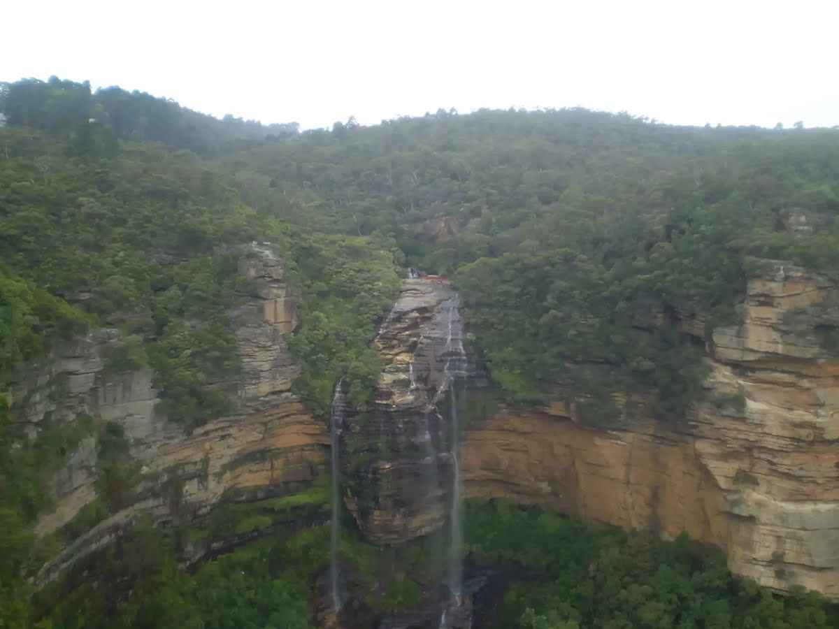
- Prince Henry Cliff walk (part of Grand Cliff Top walk) is closed between Gordon Falls picnic area and Elysian Rock lookout, due to a landslide. Visit the Blue Mountains City Council website for information. Detours will also be in place via Olympian Parade. Parts of Cliff Drive near Leura Cascades will also be closed. See Blue Mountains City Council website for information.
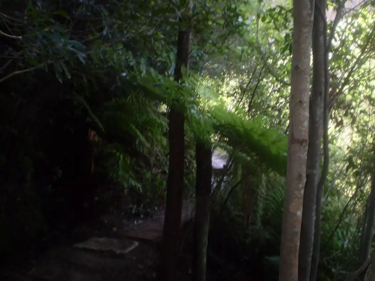
- Fern Bower track between Prince Henry Cliff walk and Amphitheatre track is closed due to multiple landslides. Access to Leura Forest and Jamison Valley is via Amphitheatre track.
- Ruined Castle, Golden Stairs, Solitary loop and Federal Pass, west of Scenic World are closed due to multiple landslides.
- The Kedumba and Cox's River Valleys are closed from 7am, Monday 14 October to 5pm, Friday 1 November 2024 for feral pest control (aerial shooting). This includes: all access points from McMahons Point, Mt Solitary and Ruined Castle, Kedumba River campground and all access points south of Sublime Point Ridge trail, Tarros Ladders and Mt Debert routes.
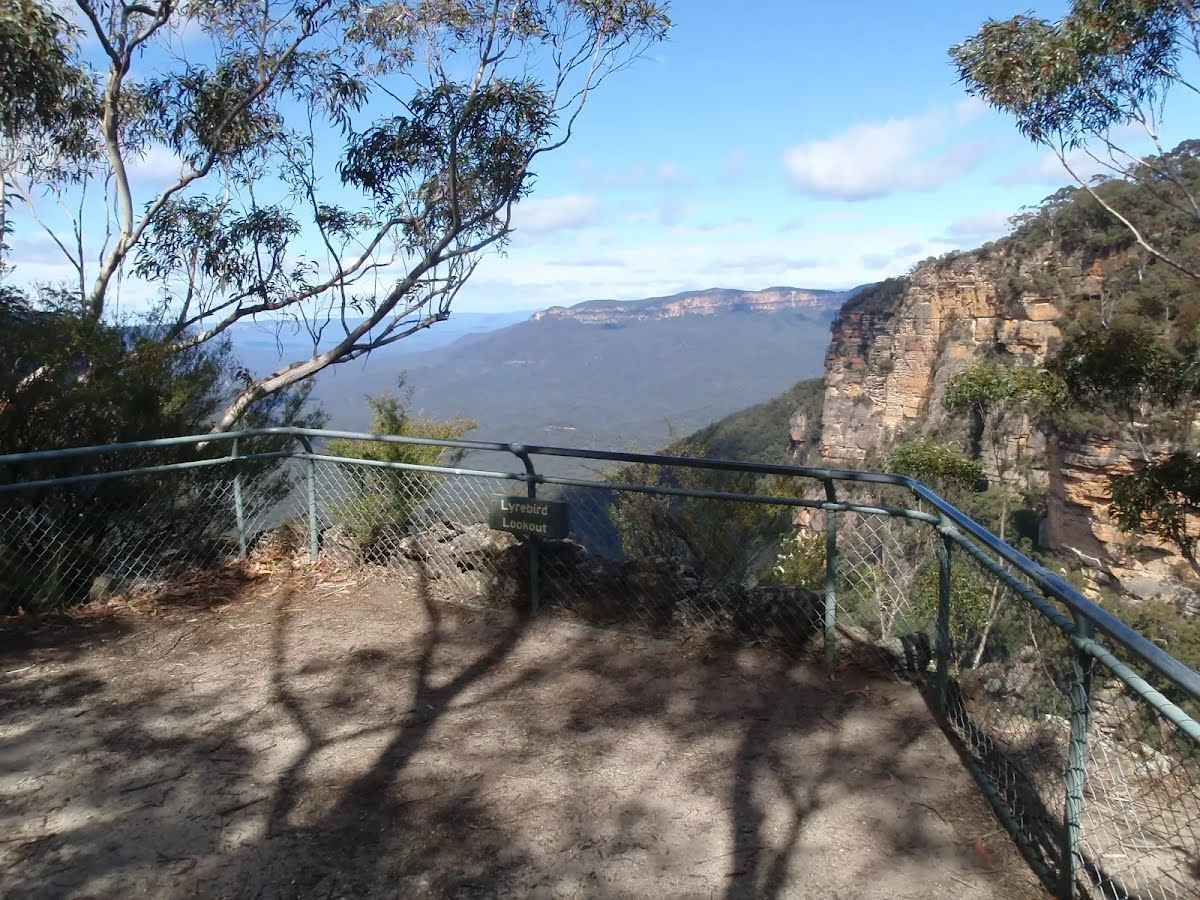
- Lone Lyrebird track is closed between Gordon Road and the War Memorial, due to subsidence. Detour is in place.
- Part of Lindeman Pass is closed due to a major landslide below Gladstone lookout. Roberts Pass is closed due to rockfall and landslide hazards.
- Six Foot track from Katoomba (Explorers Tree) to Alum Creek campground will be closed on Tuesday 12 and Wednesday 13 November 2024 to allow for aerial pest works.
- Six Foot track is affected by closures at Jenolan Caves.
Wentworth Falls and Woodford
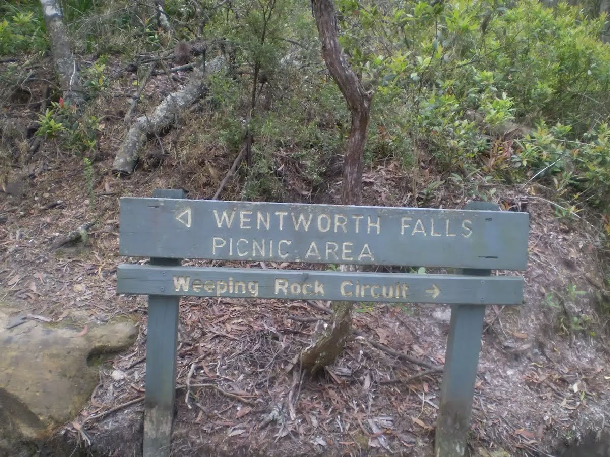
- Charles Darwin walk (part of Grand Cliff Top walk) is closed between Fletcher Street and Weeping Rock. Detours are in place to provide directions to Wentworth Falls picnic area. Visit the Blue Mountains City Council website for information.
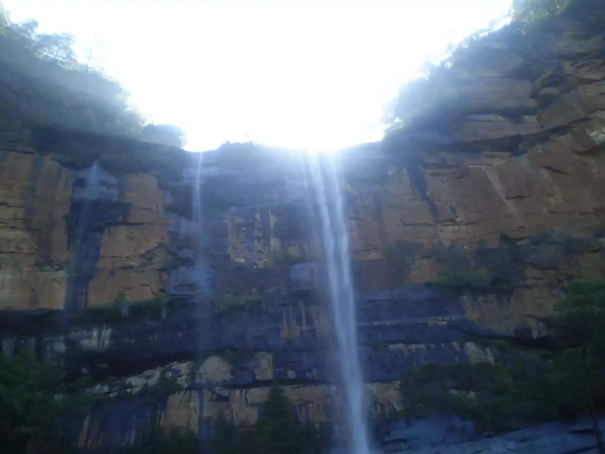
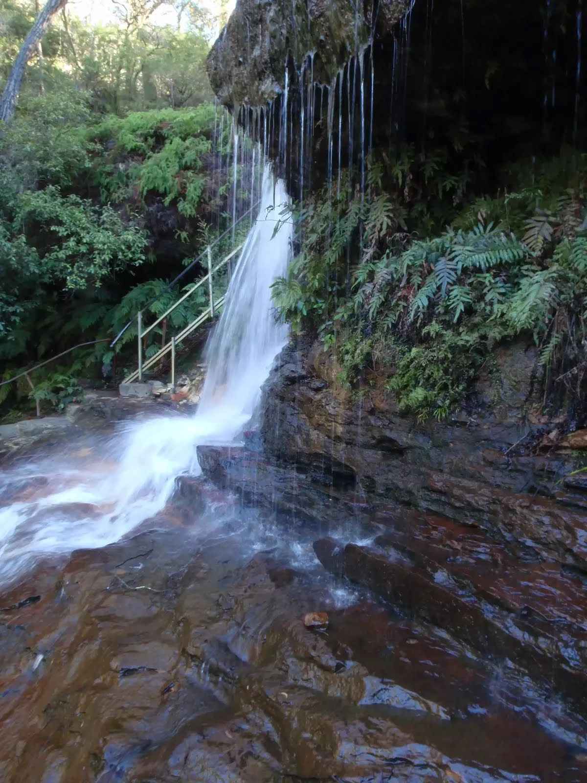
- Part of National Pass (west of Wentworth Falls middle crossing) is closed due to a major landslide and ongoing risks.
- Wentworth Pass and Slack Stairs are closed due to multiple landslides. No access to Roberts Pass and Vera Falls.
- The Kedumba and Cox's River Valleys are closed from 7am, Monday 14 October to 5pm, Friday 1 November 2024 for feral animal control (shooting). This includes: All access points from McMahons Point, Mt Solitary and Ruined Castle, Kedumba River campground and all access points south of Sublime Point Ridge trail, Tarros Ladders and Mt Debert routes.
Blackheath, Mount Victoria and Bells Line of Road
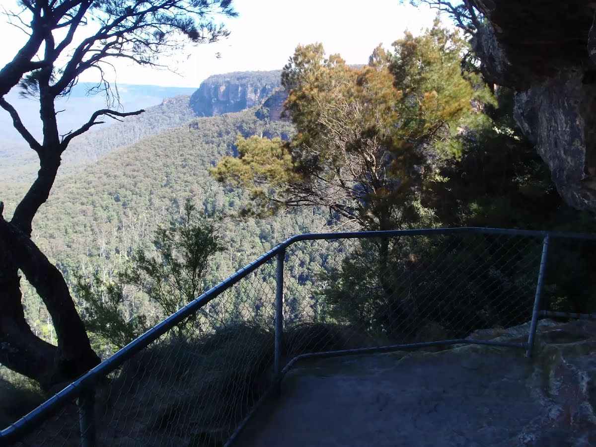
- Williams track (Govetts descent) and Rodriguez Pass are closed due to rockfalls and landslides. The Grose Valley can be accessed from Perrys Lookdown.
- Pulpit Rock Reserve, lookouts and walking track are closed. Visit the Blue Mountains City Council website for information. Pulpit Rock walking track from Popes Glen is open as far as the NPWS boundary (as shown on Google maps).
Adventure recreation, canyons, abseiling and rock climbing
Some adventure recreation areas and routes are specifically closed where the access or exit road/track is mentioned above.
Penalties apply for non-compliance. For more information, please contact the Blue Mountains Heritage Centre on 02 4787 8877.
Fires - Advice: Kariwoga RidgeThere is a fire in this park called Kariwoga Ridge. Refer to the
Rural Fire Service for latest information. Do not enter any closed area or area with fire. If you see an unattended fire call Triple Zero (000).
Penalties apply for non-compliance. For more information about fire safety in parks and reserves, visit the
NSW National Parks fire safety page for park safety guidelines.
Closed areas: Red Hands Cave walking track - Partial closureRed Hands Cave walking track (also known as Campfire Creek walking track) is partially closed to allow for extensive flood damage repairs.
Repairs are underway to the Link track section which runs through the gully. The rest of the walking track to Red Hands Cave is open. Pedestrian access is available all the way from the Red Hands Cave carpark through to the causeway.
Penalties apply for non-compliance. For more information, contact the local NPWS office.
Closed areas: Woodford - Oaks trail closed weekdays for flood repairsWoodford - Oaks trail will be closed on weekdays, from Monday 21 October to Friday 22 November 2024. Work is underway to repair flood damaged sections of the track.
Pedestrian, bicycle and vehicle access is not permitted during the closure period. Woodford - Oaks trail will be open on weekends during this period.
Penalties apply for non-compliance. For more information, contact the local NPWS office.
Closed areas: Areas closed for aerial pest shooting programThe southern section of Blue Mountains National Park is closed from 7am, Monday 14 October to 5pm, Friday 1 November 2024.
The closed area is bounded by the Kowmung River downstream of the junction with Dennis Ridge trail to the Coxs River junction, east of Kelpie Point trail and Mitchells Creek trail, Narrow Neck Plateau south of the Carlon Head track junction, Kedumba Valley south of Sublime Point trail, McMahons Road south of junction with Erskine Range trail and the Green Wattle and Butchers Creek catchments.
The closed areas include:
- Kedumba campground
- Mt Solitary walking track loop including all campsites
- Mt Derbert walking track including Tarros Ladders between Medlow Gap and Carlon Head track
- McMahons Point
- Lions Head Pass to Kedumba Valley
- Scotts Main Range
Penalties apply for non-compliance. For more information, contact the local park office.
Fire bans: Park fire banA park fire ban is in place in this park and remains in effect unless otherwise extended or removed.
However, the following campgrounds in Blue Mountains National Park are exempt:
- Galong Cabins
- Dunphys Campground
- Murphys Glen
- Kedumba River Campground
- Burralow Creek
- Euroka campgrounds
During park fire ban periods, all campfire and solid fuel (wood, heat beads, charcoal, briquettes, hexamine) barbecues and stoves are prohibited. Gas and electric barbecues and cookers are permitted as long as:
- They're under direct control of an adult
- The ground within 2m of the barbecue is cleared of all flammable materials
- There's an adequate supply of water (minimum of a bucket)
If a Total Fire Ban is in place, different rules apply. Contact the local park office before bringing a gas or electric barbecue or cooker.
Penalties apply for non-compliance. For more information about fire bans in parks and reserves including your responsibilities, visit the
NSW National Parks fire safety page.
Fires - Not Applicable: Blue Pool Hazard ReductionThere is a fire in this park called Blue Pool Hazard Reduction. Refer to the
Rural Fire Service for latest information.
Do not enter any closed area or area with fire. If you see an unattended fire call Triple Zero (000).
Penalties apply for non-compliance.
For more information about fire safety in parks and reserves, visit the
NSW National Parks fire safety page for park safety guidelines.
Other planned events: Notice of ongoing 1080 baiting programNSW National Parks and Wildlife Service (NPWS) is conducting ongoing ground baiting program from Thursday 2 May 2024 to Friday 1 November 2024 in the following areas:
- Abercrombie River National Park
- Abercrombie River State Conservation Area
- Kanangra-Boyd National Park
- Blue Mountains National Park (southern section)
- Wollemi National Park (Wolga)
- Gardens of Stone National Park
- Jenolan Karst Conservation Area
- Turon National Park
- Marrangaroo National Park
The operation will use 1080 (sodium fluoroacetate) poison for the control of wild dogs and foxes.
The program is designed to minimise predator impacts on wildlife, especially threatened species, and to minimise impact of wild dogs on neighbouring stock.
Signs will be placed at the entry to the baiting location. Domestic pets are not permitted in NSW National Parks managed lands. Pets and working dogs may be affected (1080 is lethal to cats and dogs). Pets and working dogs must be restrained or muzzled in the vicinity and must not enter the baiting location. In the event of accidental poisoning seek immediate veterinary assistance.
For more information, contact the NPWS Kanangra area office at Oberon on 02 6336 6200.
Safety alerts: Remote walking track conditionsRemote routes within the Kanangra Wilderness Area including Kanangra to Katoomba (K2K) trail have been impacted by heavy fire regrowth and flood damage.
In some places, tracks are no longer visible and are not easy to navigate, taking longer to traverse than expected. Limited to zero water sources are currently available along routes.
If you plan to walk in the area, please ensure you have an appropriate level of experience, navigation skills and equipment including Personal Locator Beacon (PLB).
Mobile reception is limited so alternative communication methods are strongly recommended.
For more information, contact the NPWS Blue Mountains Heritage Centre on 02 4787 8877.
Closed areas: Waratah Native Gardens picnic area closedWaratah Native Gardens picnic area is closed until further notice. This includes Gorge walking track. No access to the area is permitted.
Penalties apply for non-compliance. For more information, please contact the NPWS Hawkesbury-Nattai area office on 02 4720 6200.
Alert kindly provided by © NSW Nataional Parks and Wildlife Service