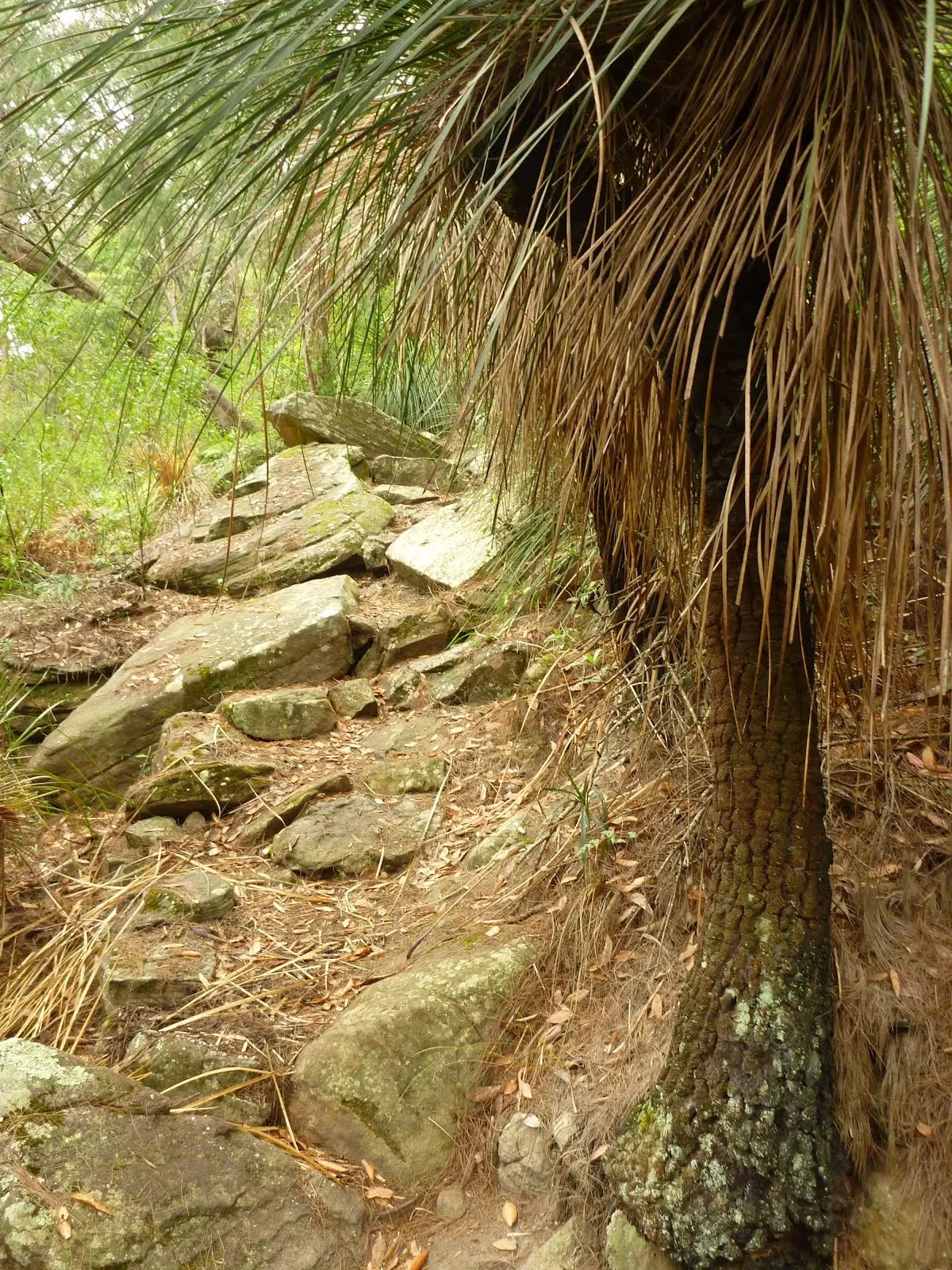
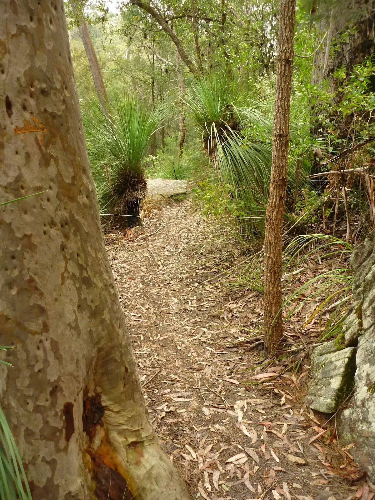
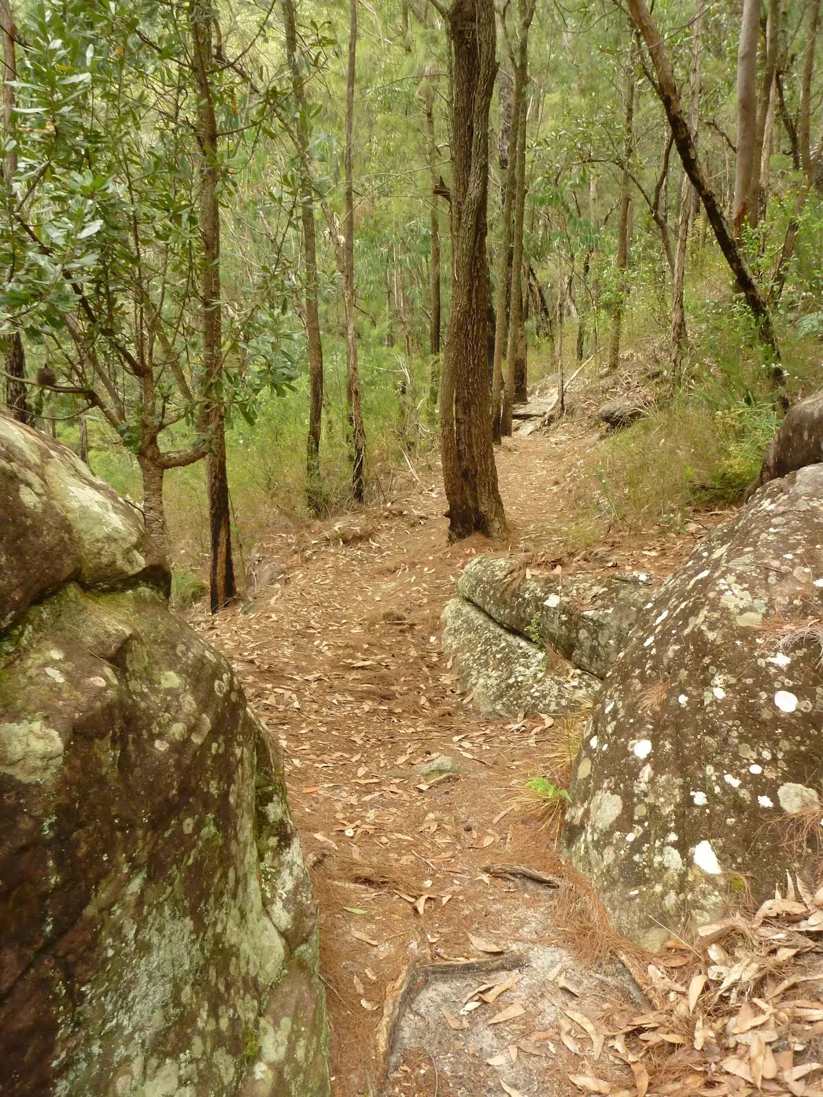
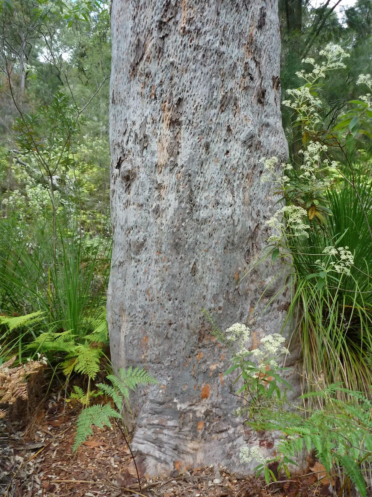
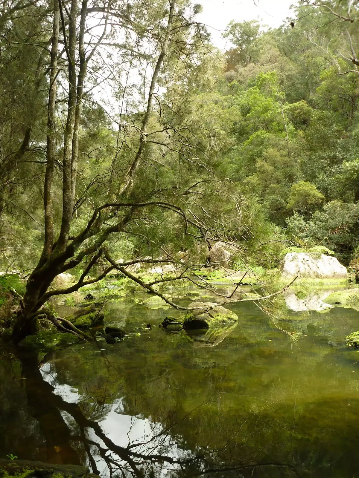
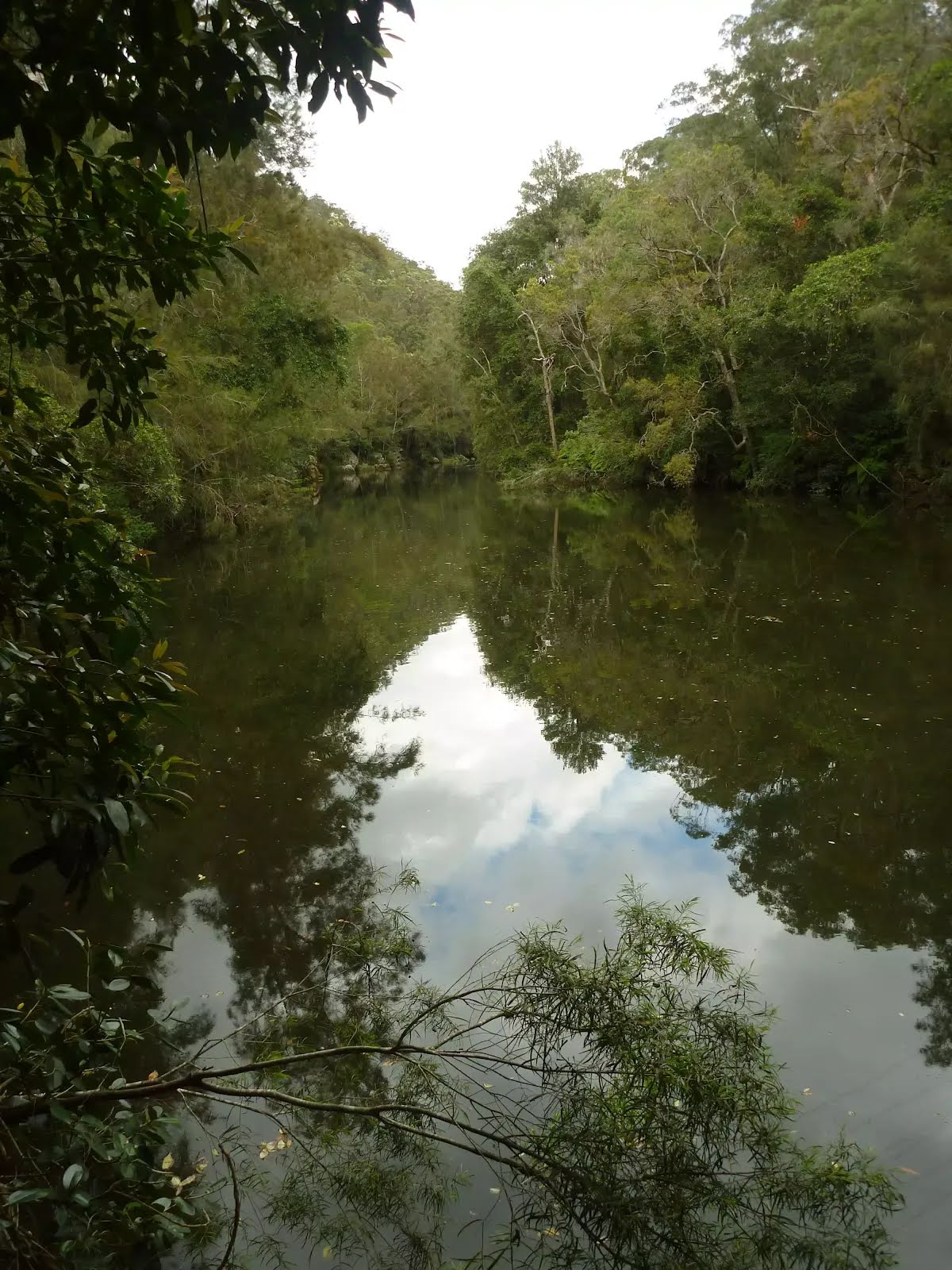
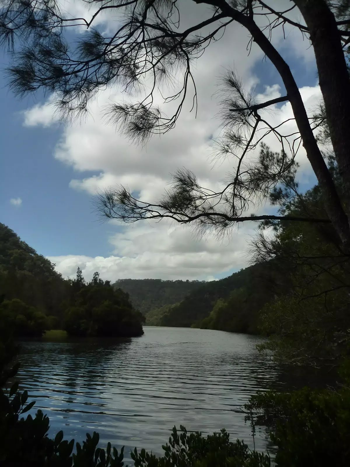
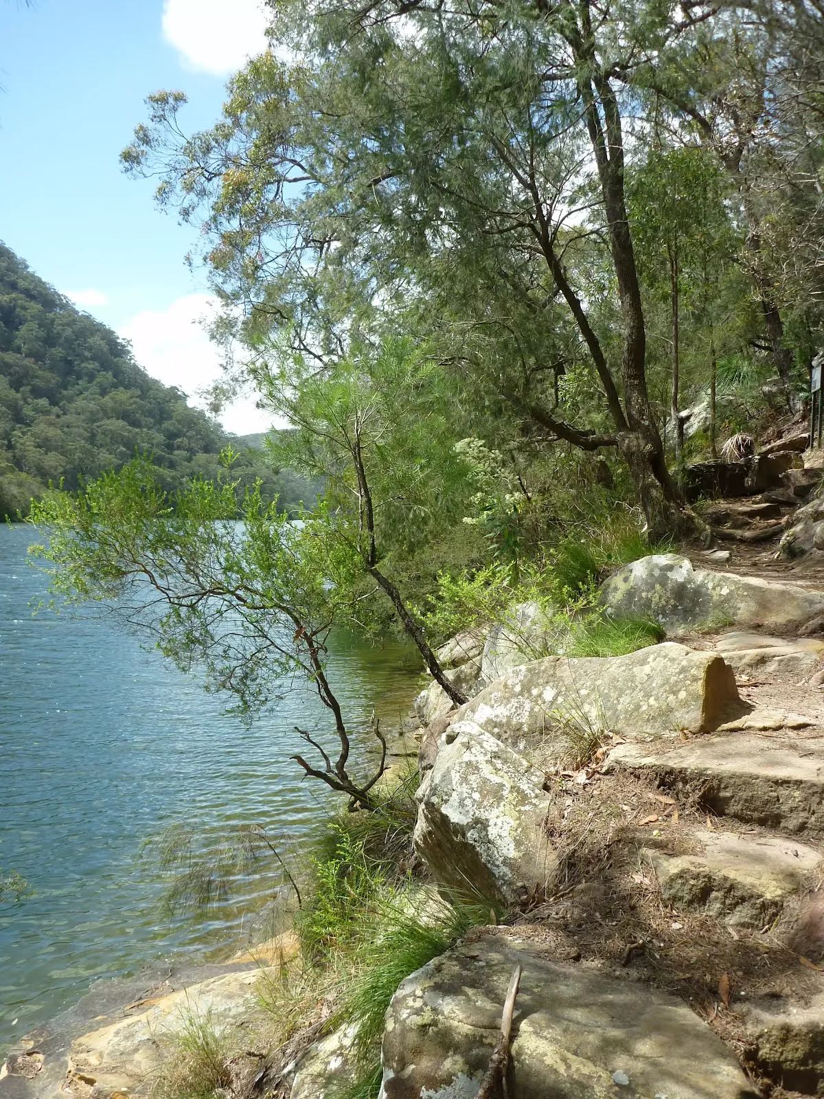
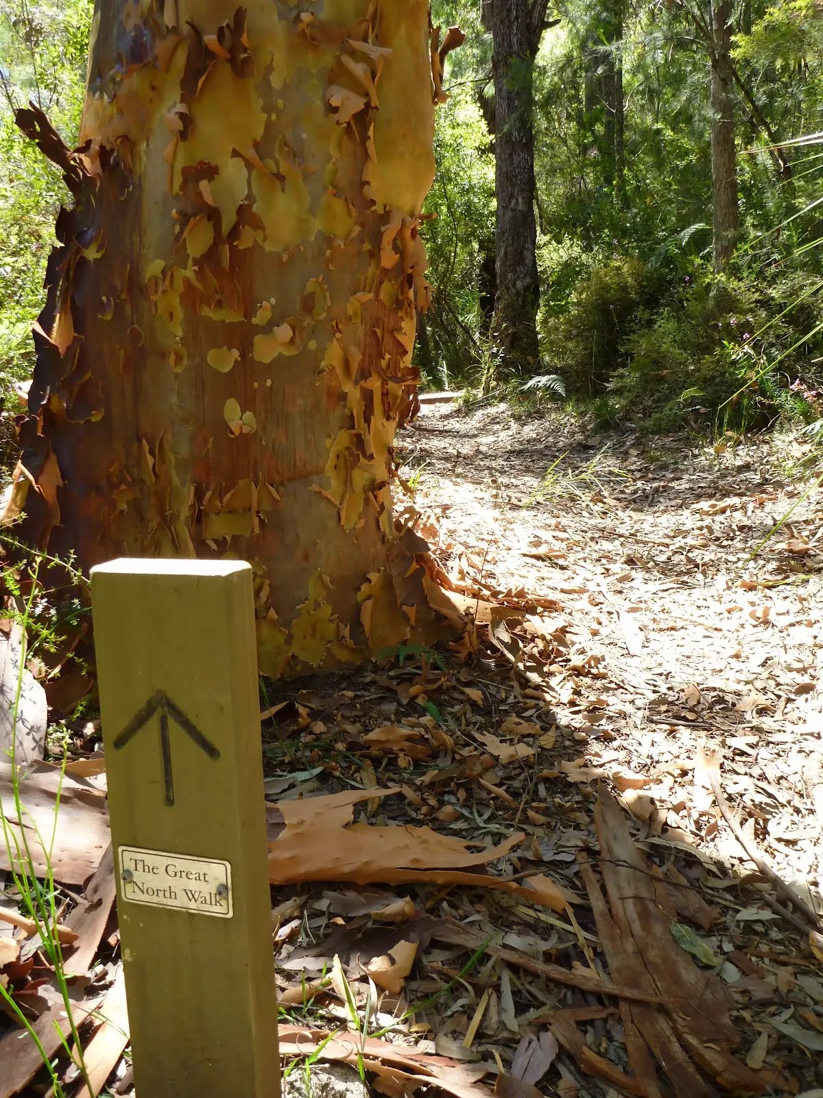
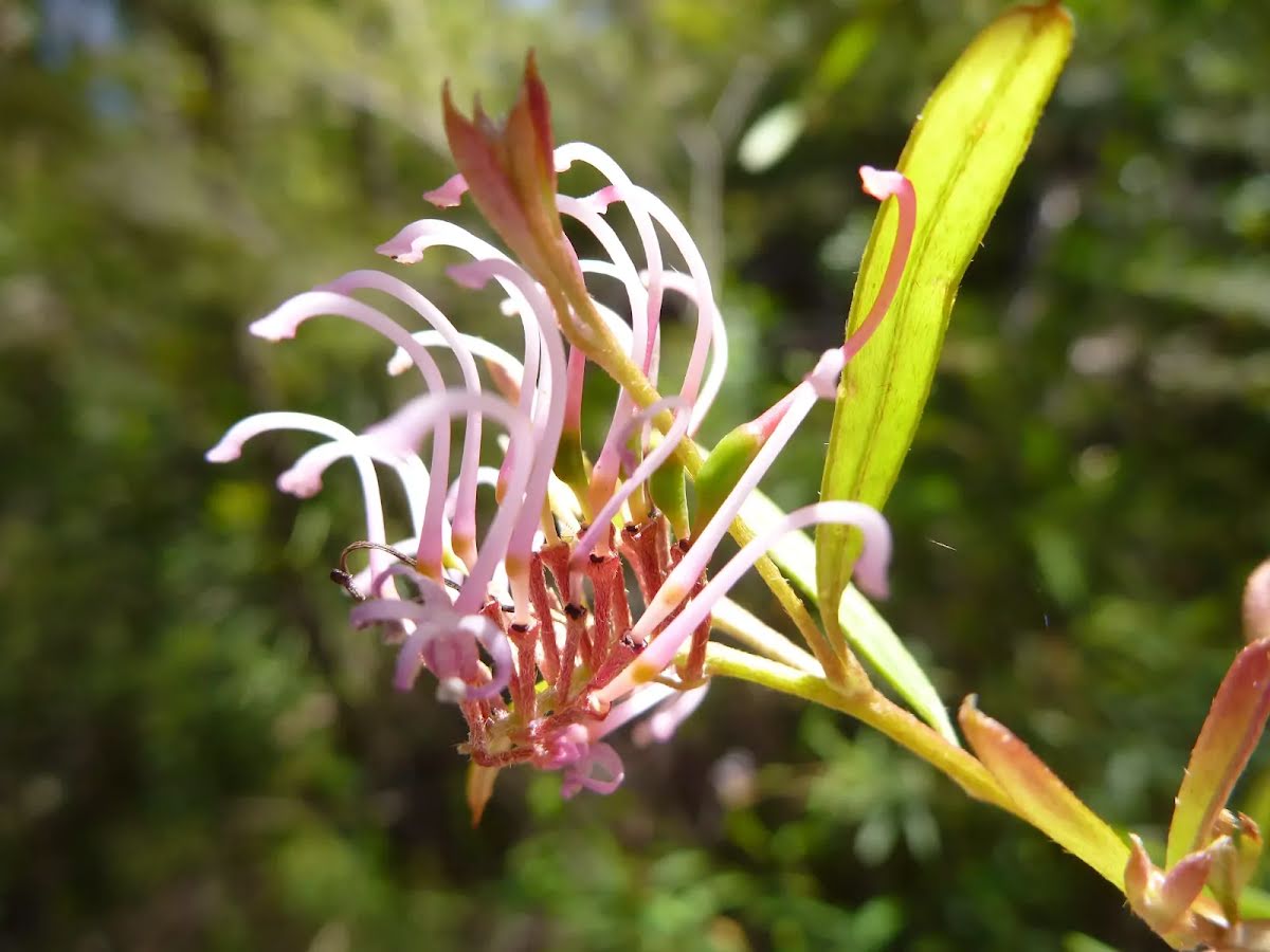
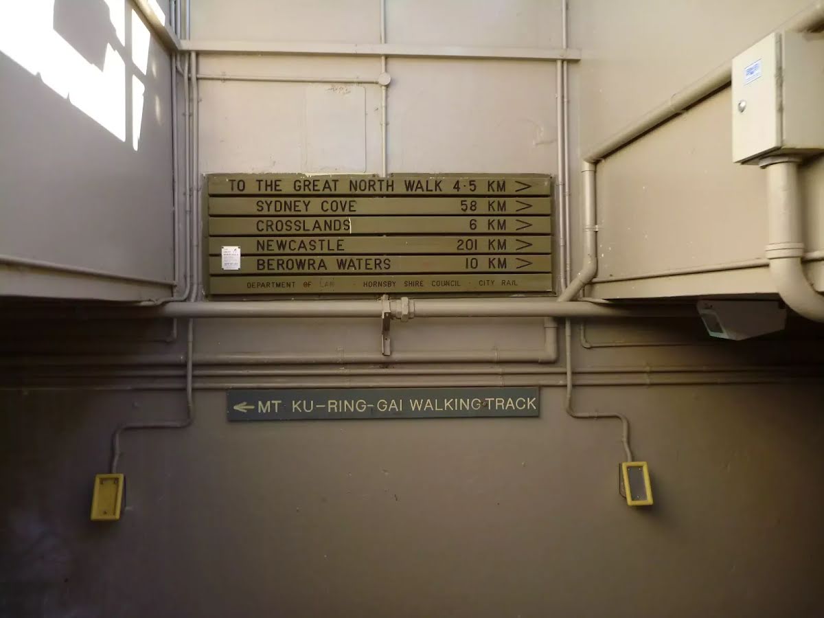
This walk follows the eastern side of the steep Berowra Creek valley from Galston Gorge to Crosslands and then heads over the ridge to follow Lyrbird Gully up to the train station at Mt Kuring-gai. This enjoyable section of The Great North Walk spends most of the time enjoying the wide tidal creeks in the deep valleys. There are many grass trees and sandstone caves to enjoy as well as several lovely places to camp. Crosslands provides road access, a chance to fill up the water bottle and an optional side trip to motel style accommodation at Crosslands Conventions centre. Let us begin by acknowledging the Traditional Custodians of the land on which we travel today, and pay our respects to their Elders past and present.
Before you start any bushwalk ensure you;
• Tell someone you trust where you are going and what to do if you are overdue
• Have adequate equipment, supplies, skills & knowledge for the whole journey
• Consider the impact of weather forecasts, park/track closures & fire dangers
• Can respond to emergencies & call for help at any point
• Are healthy and fit enough for this journey
If not, change plans and stay safe. It is okay to delay and ask people for help.
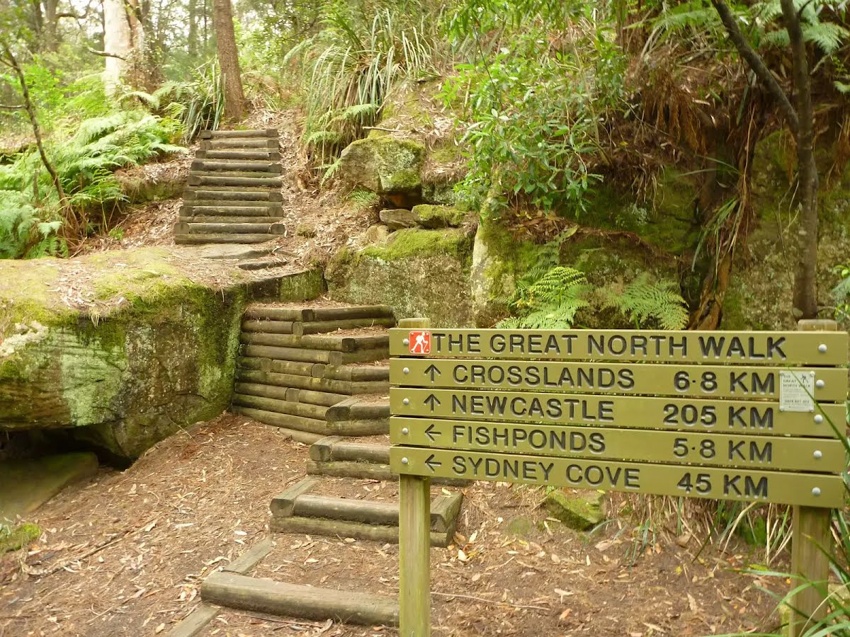
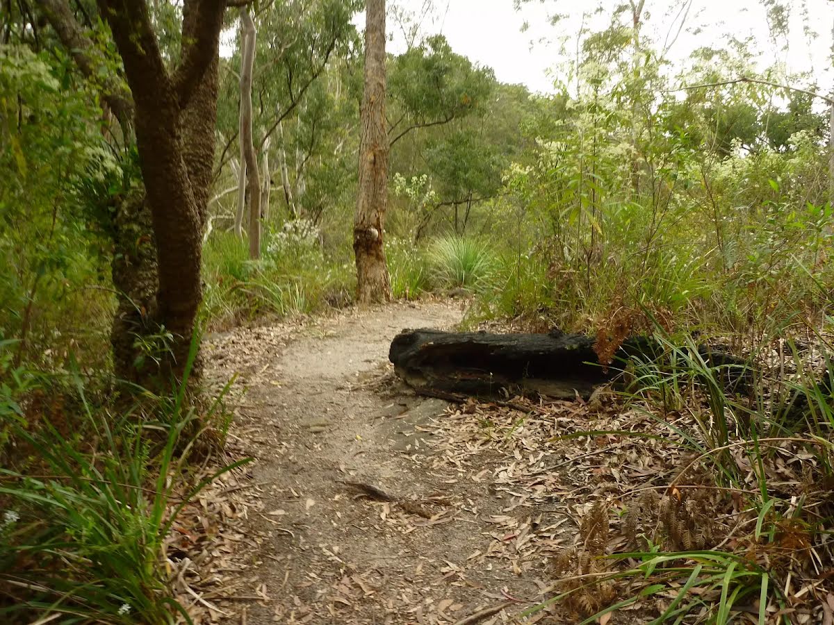
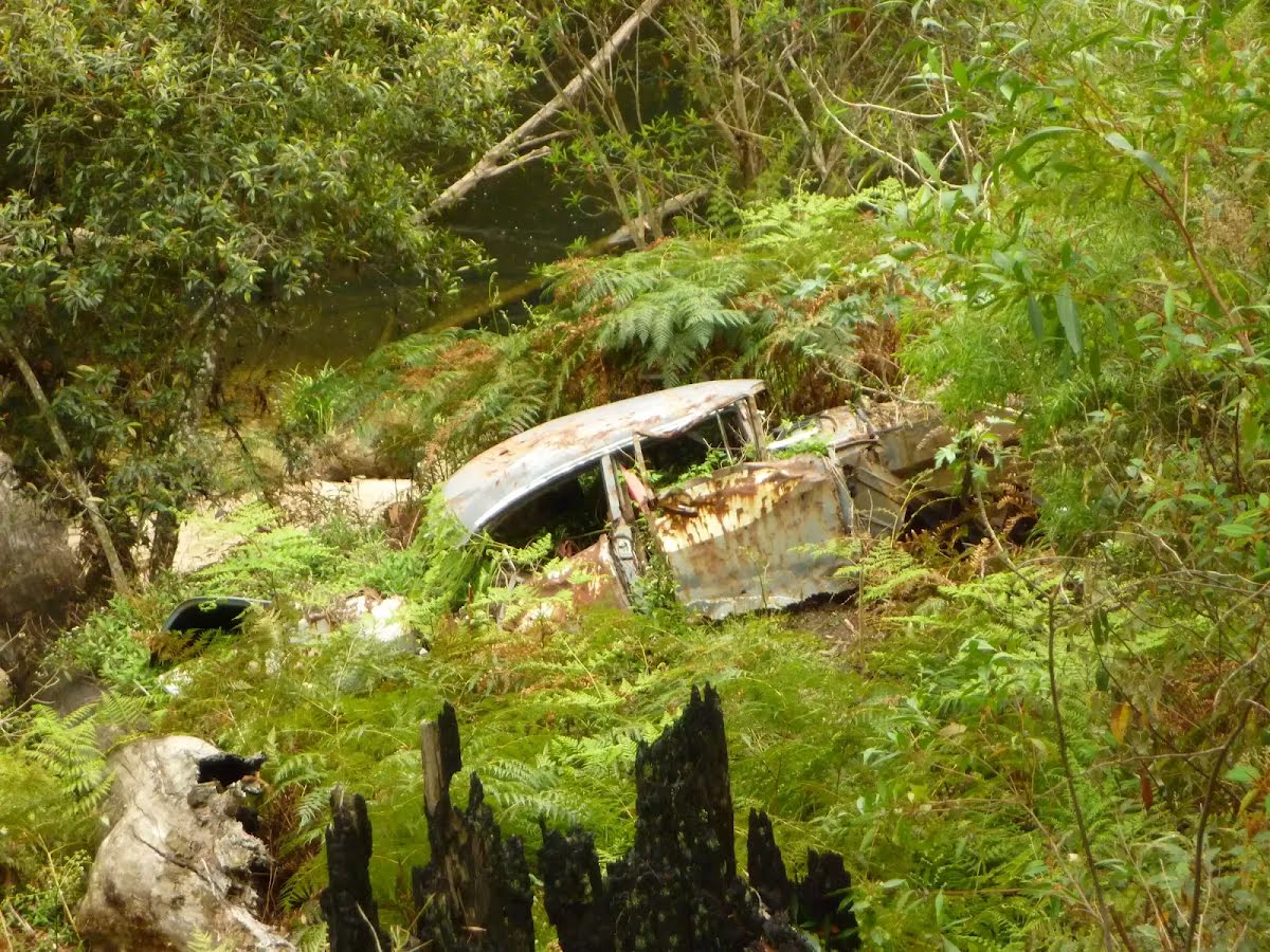
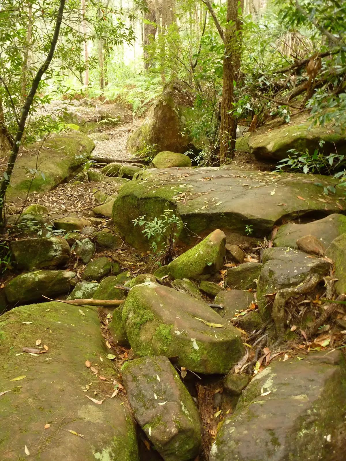
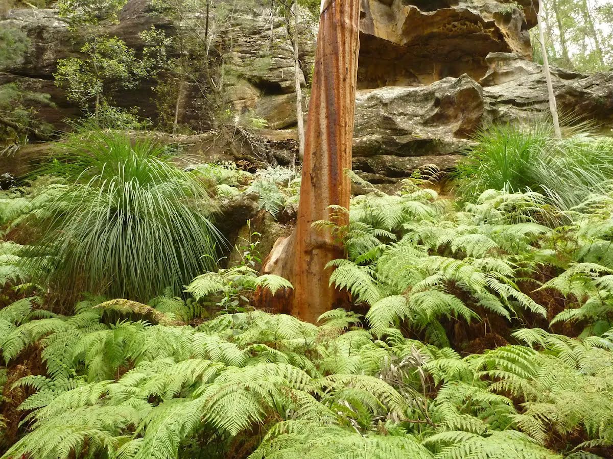
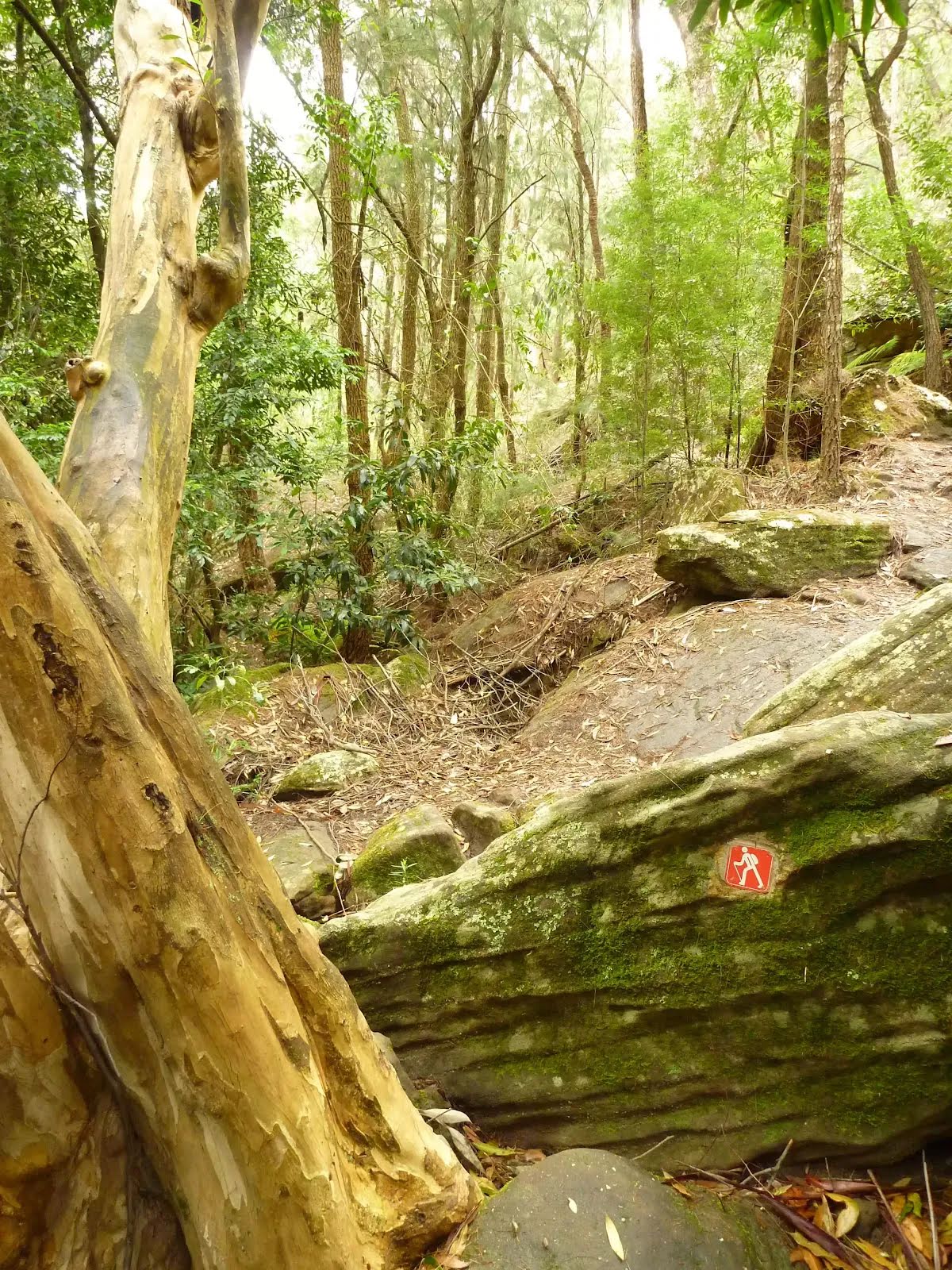
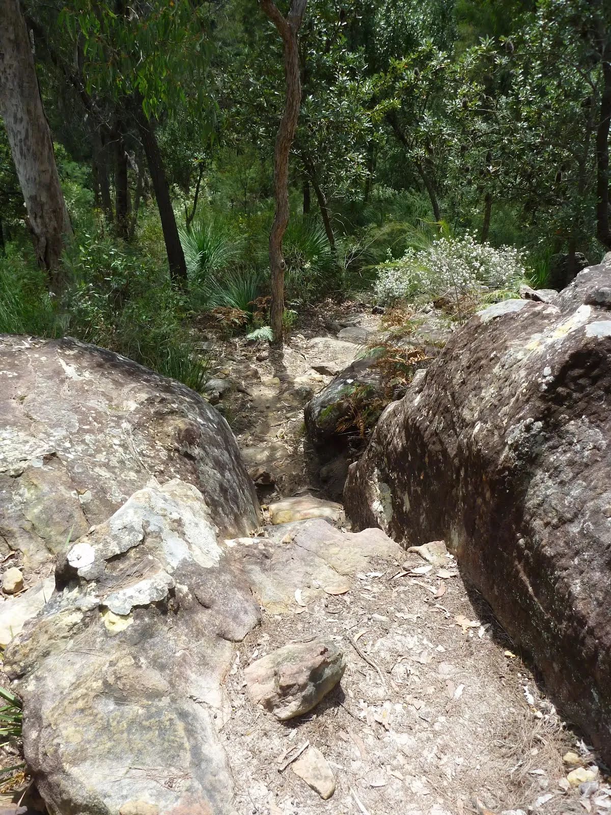
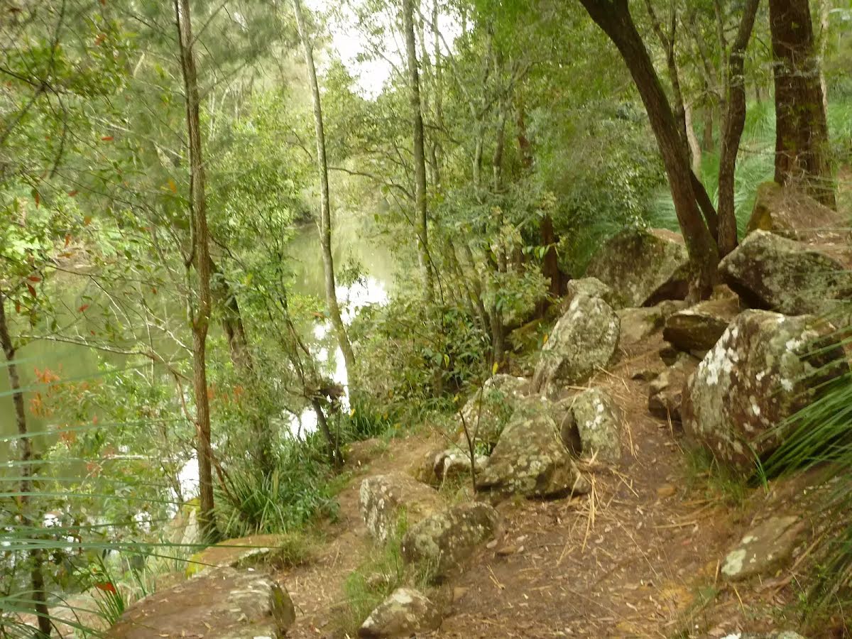
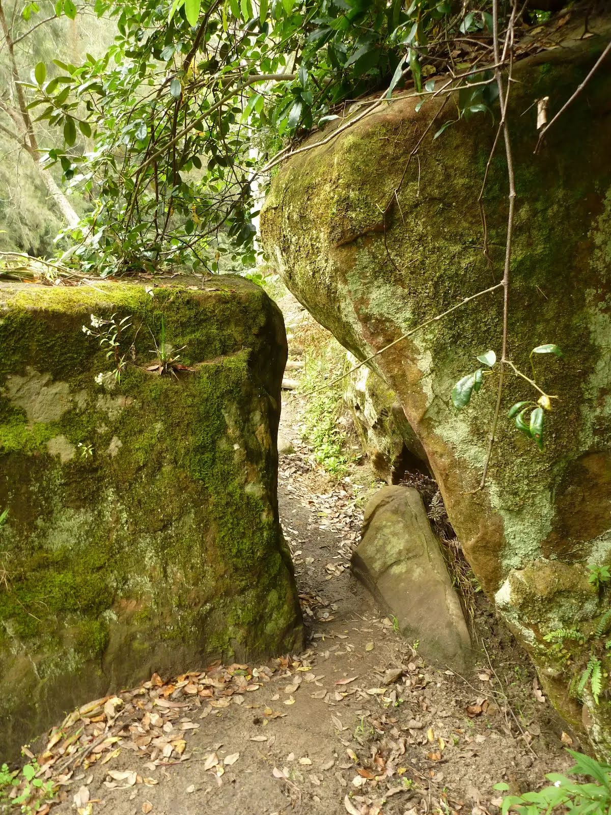
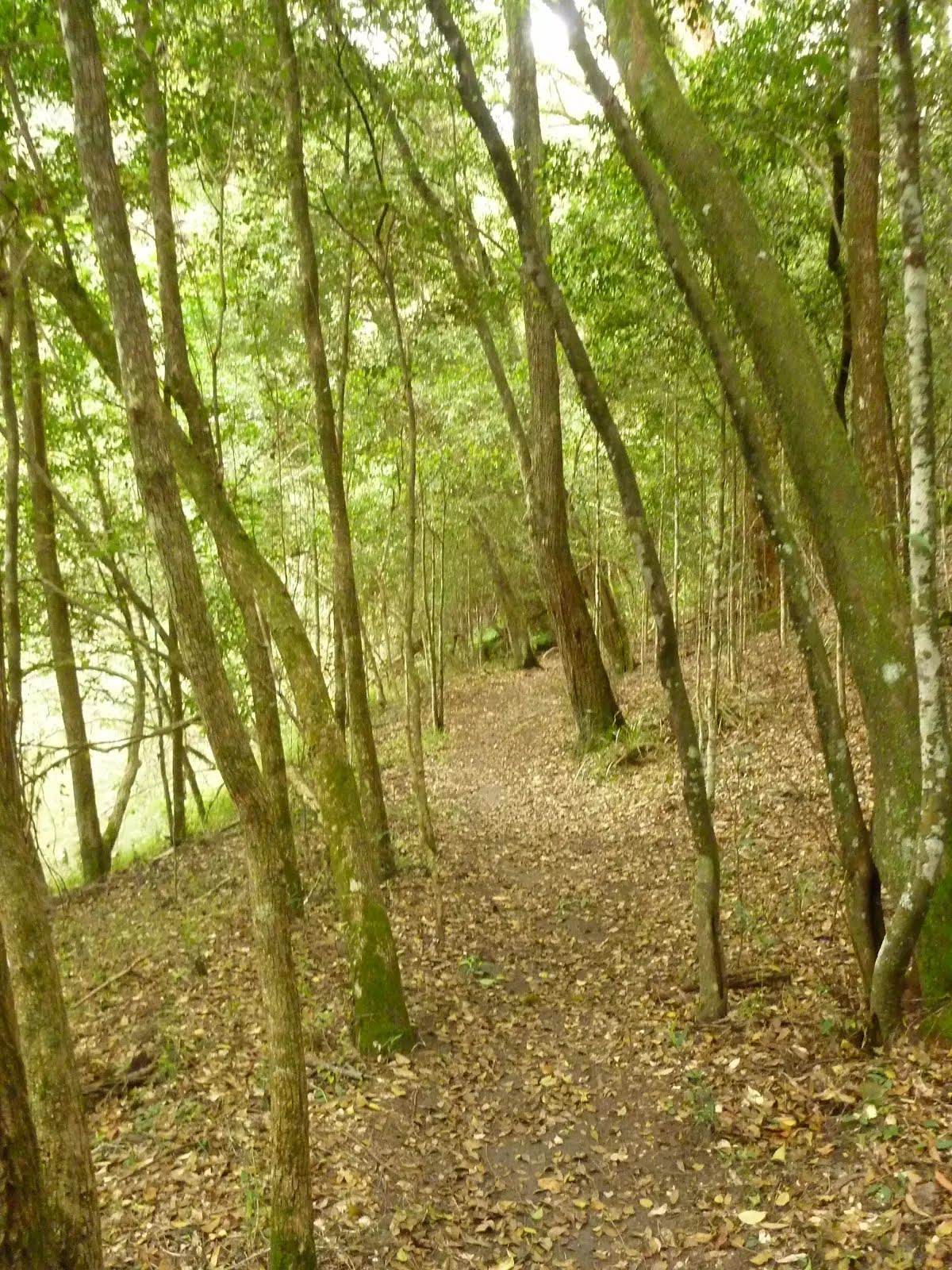
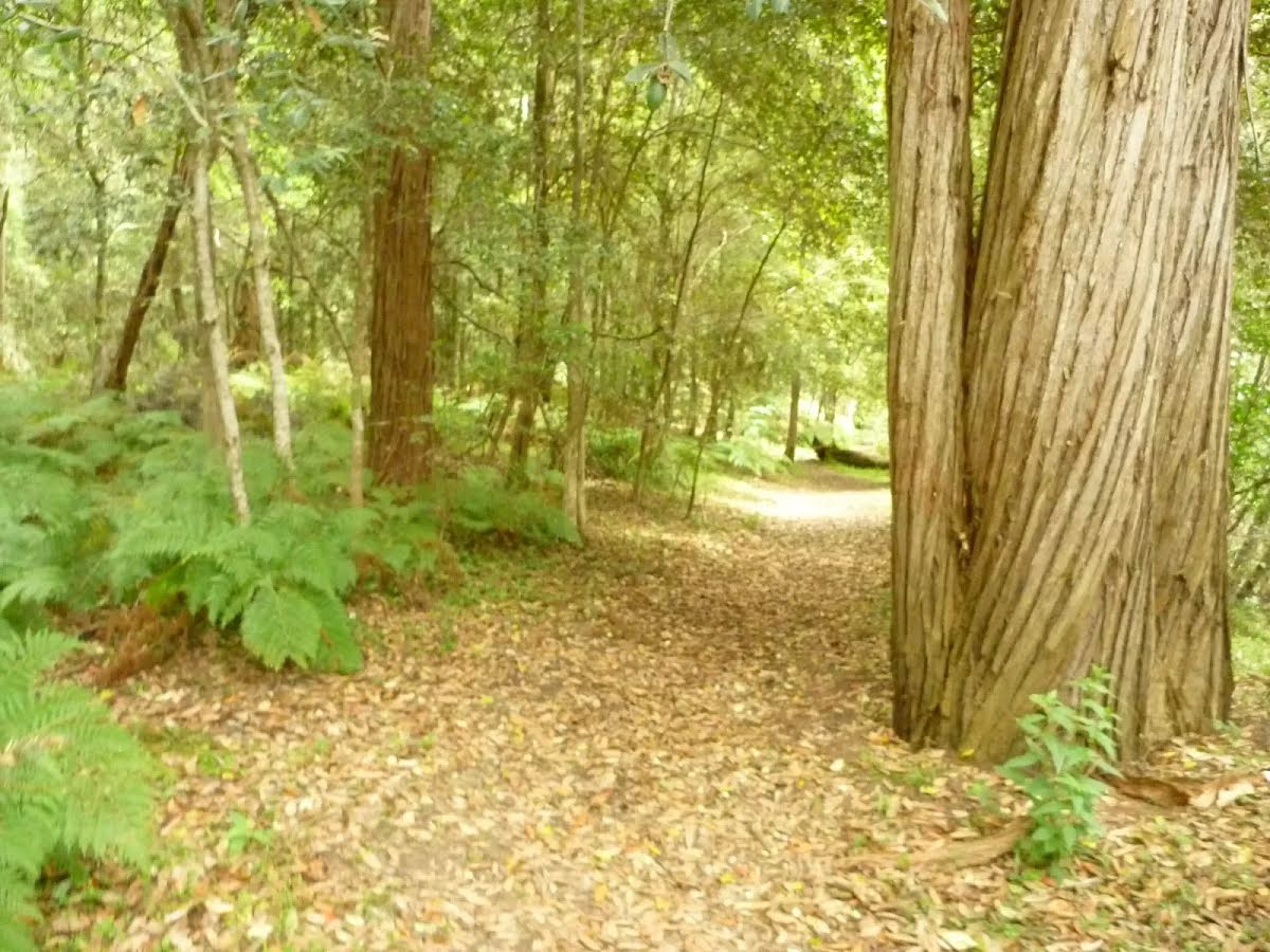
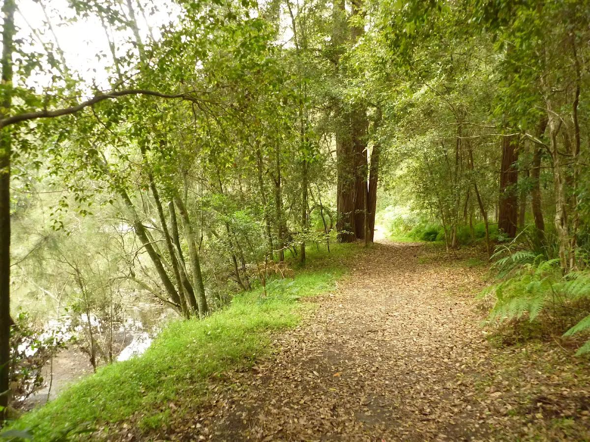
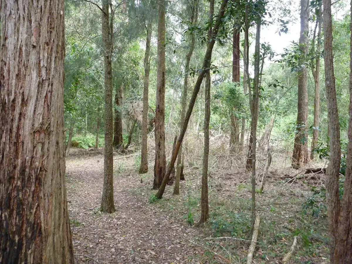
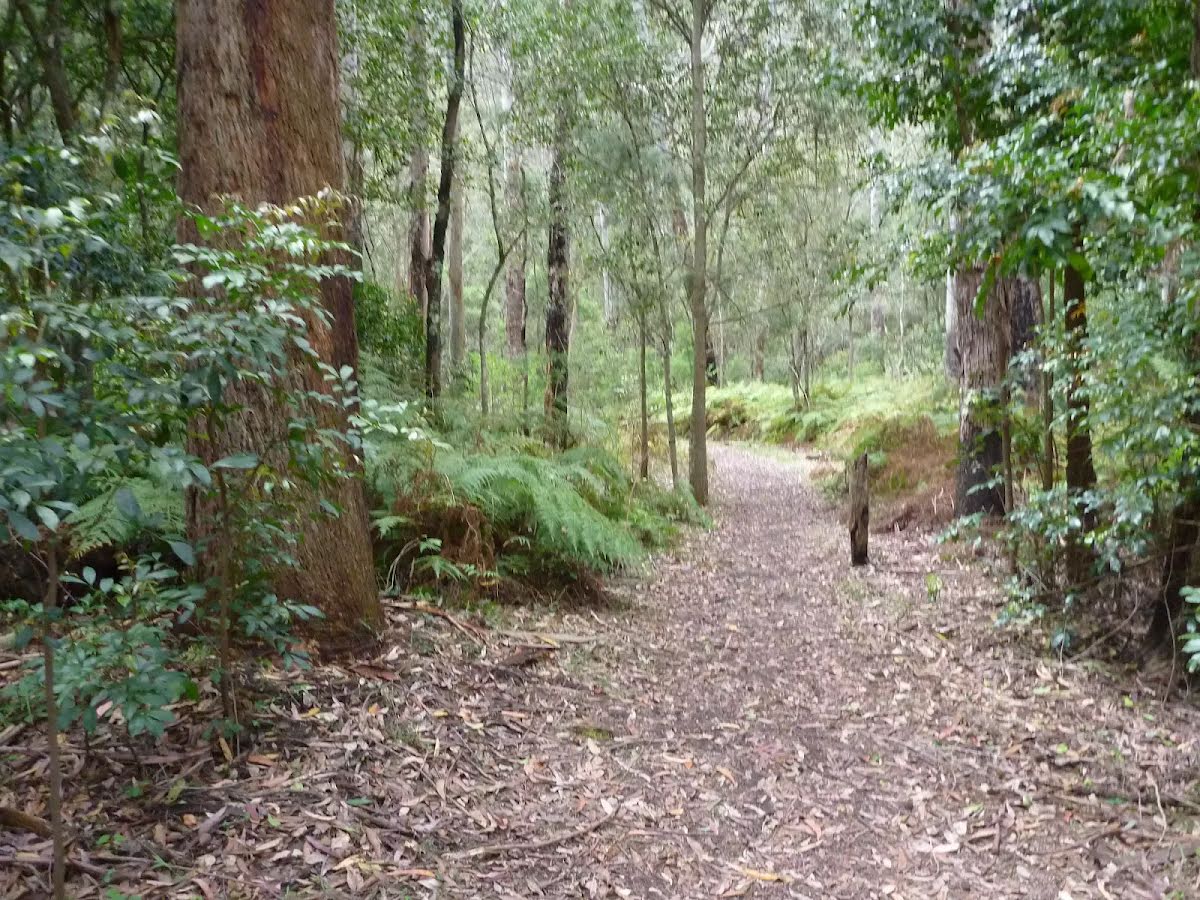
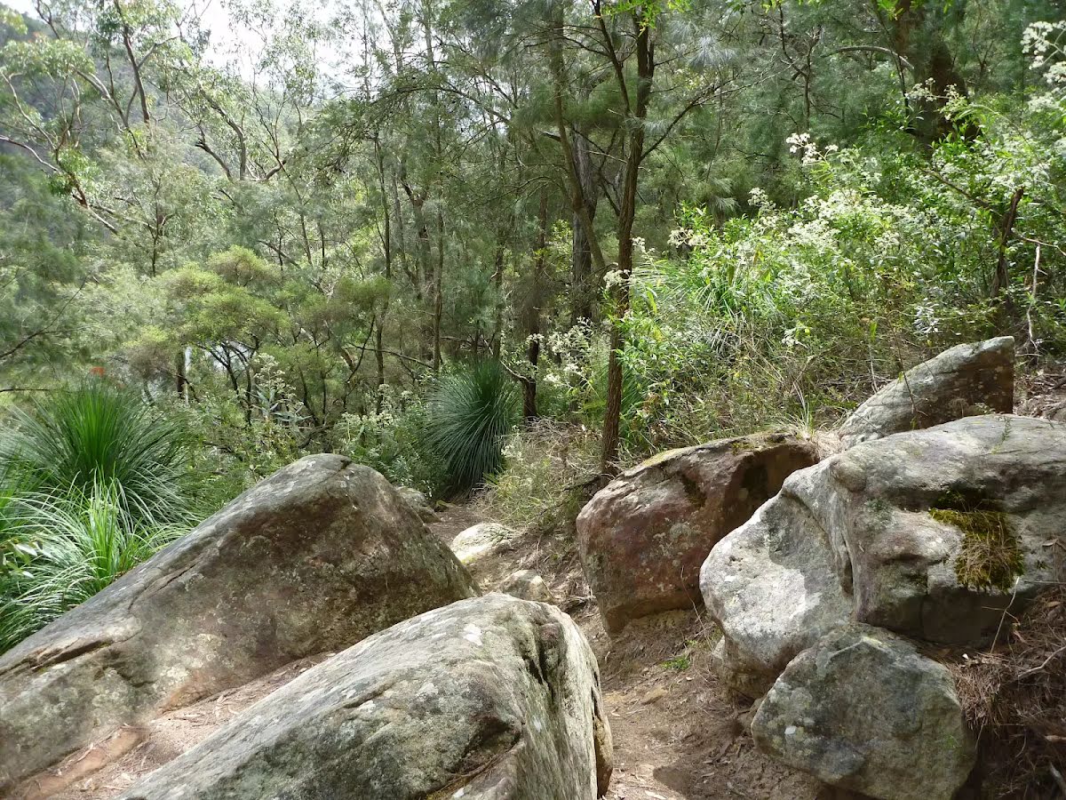
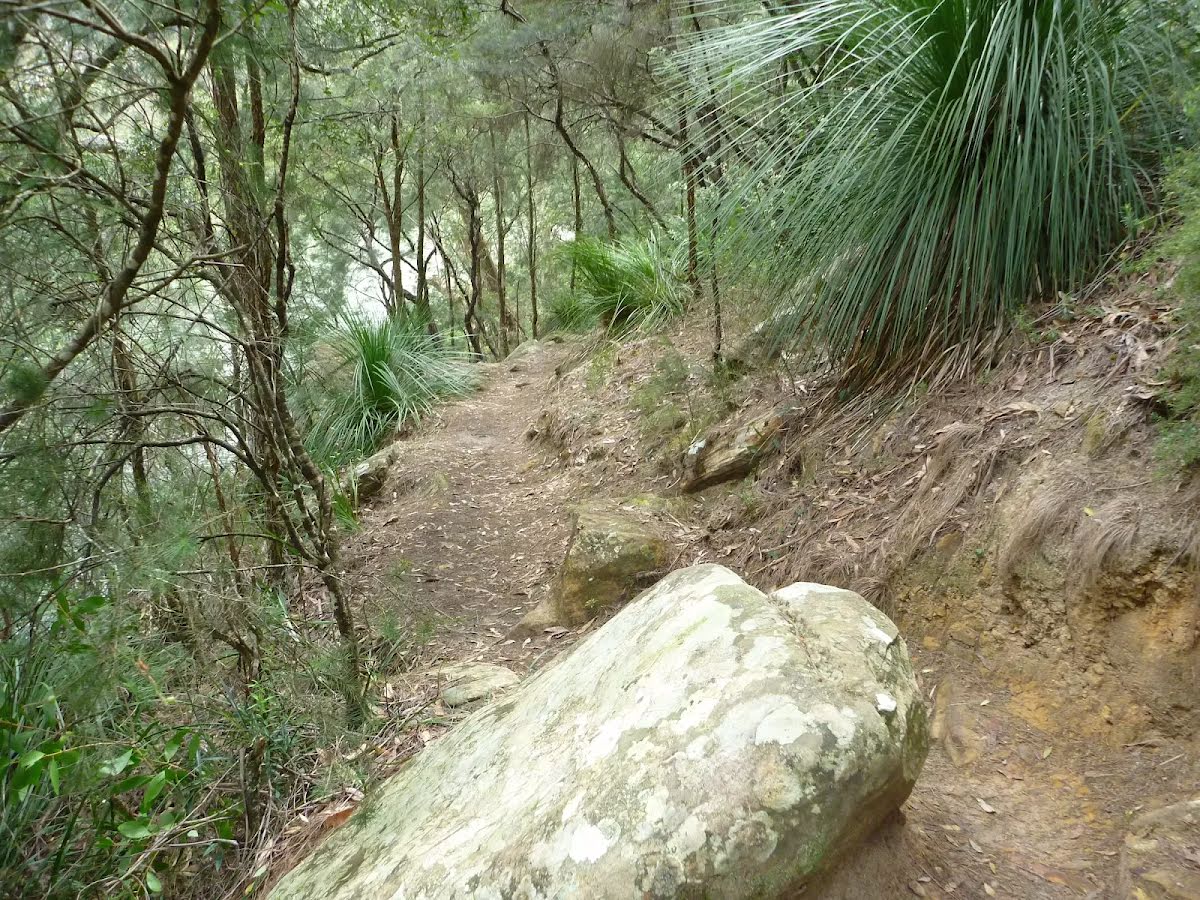
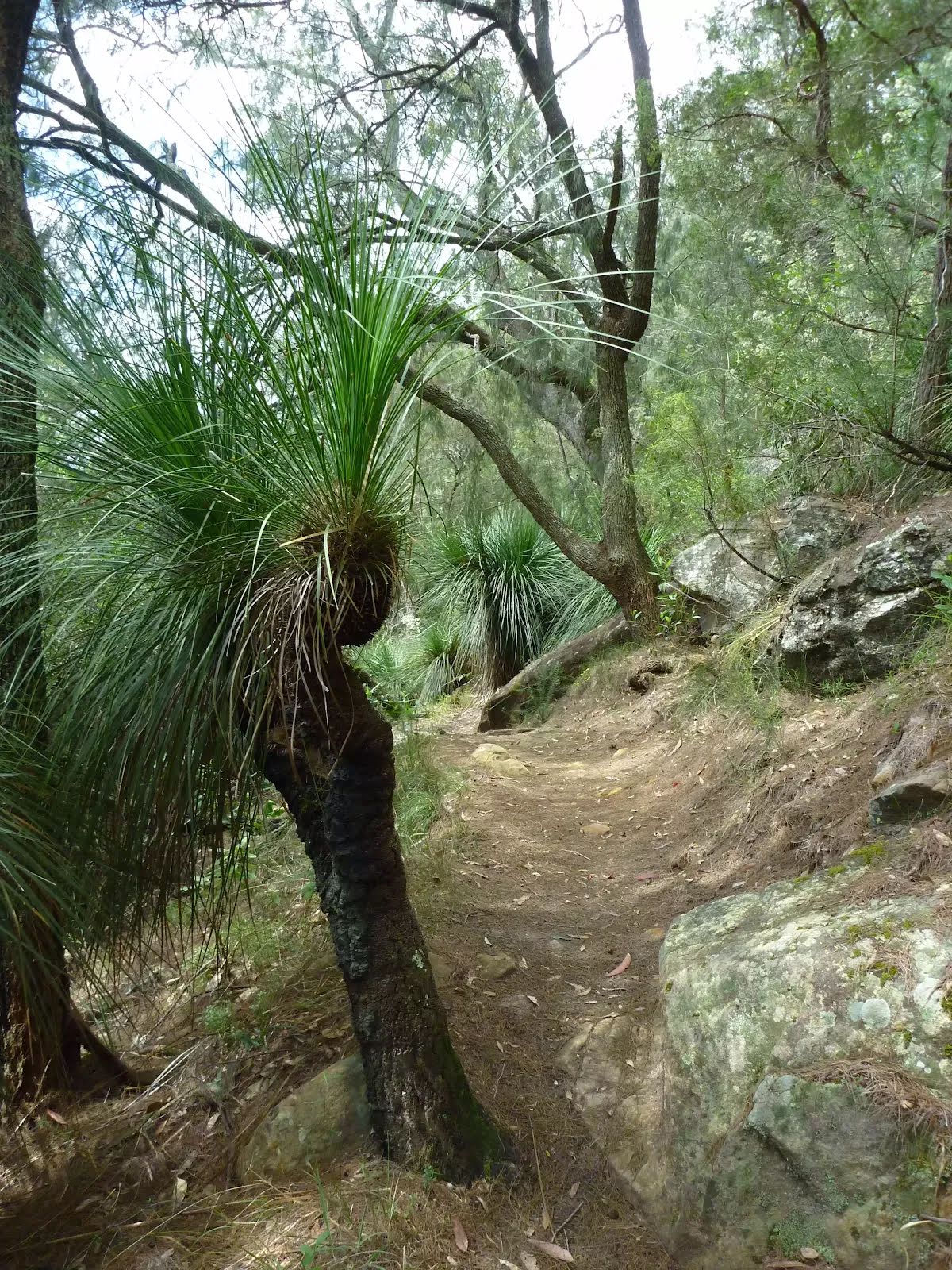
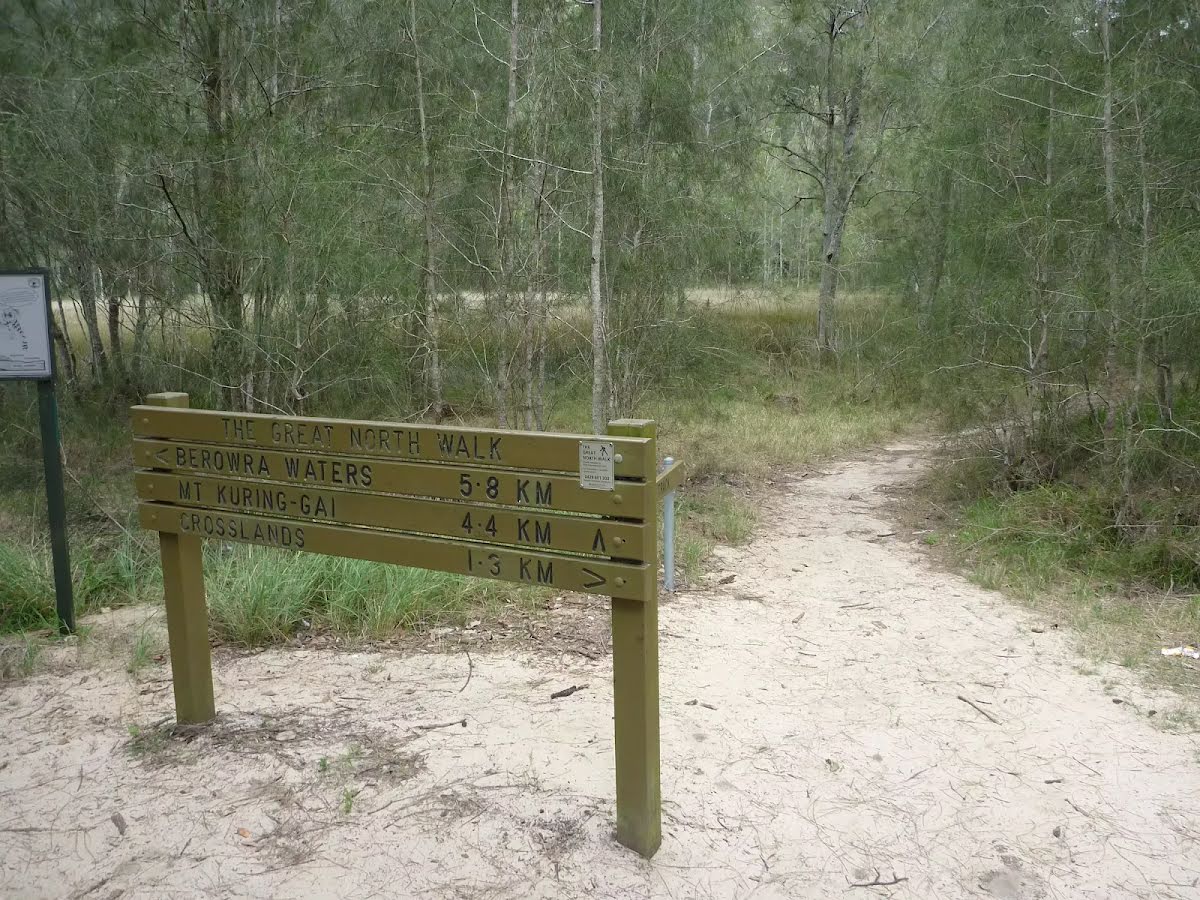
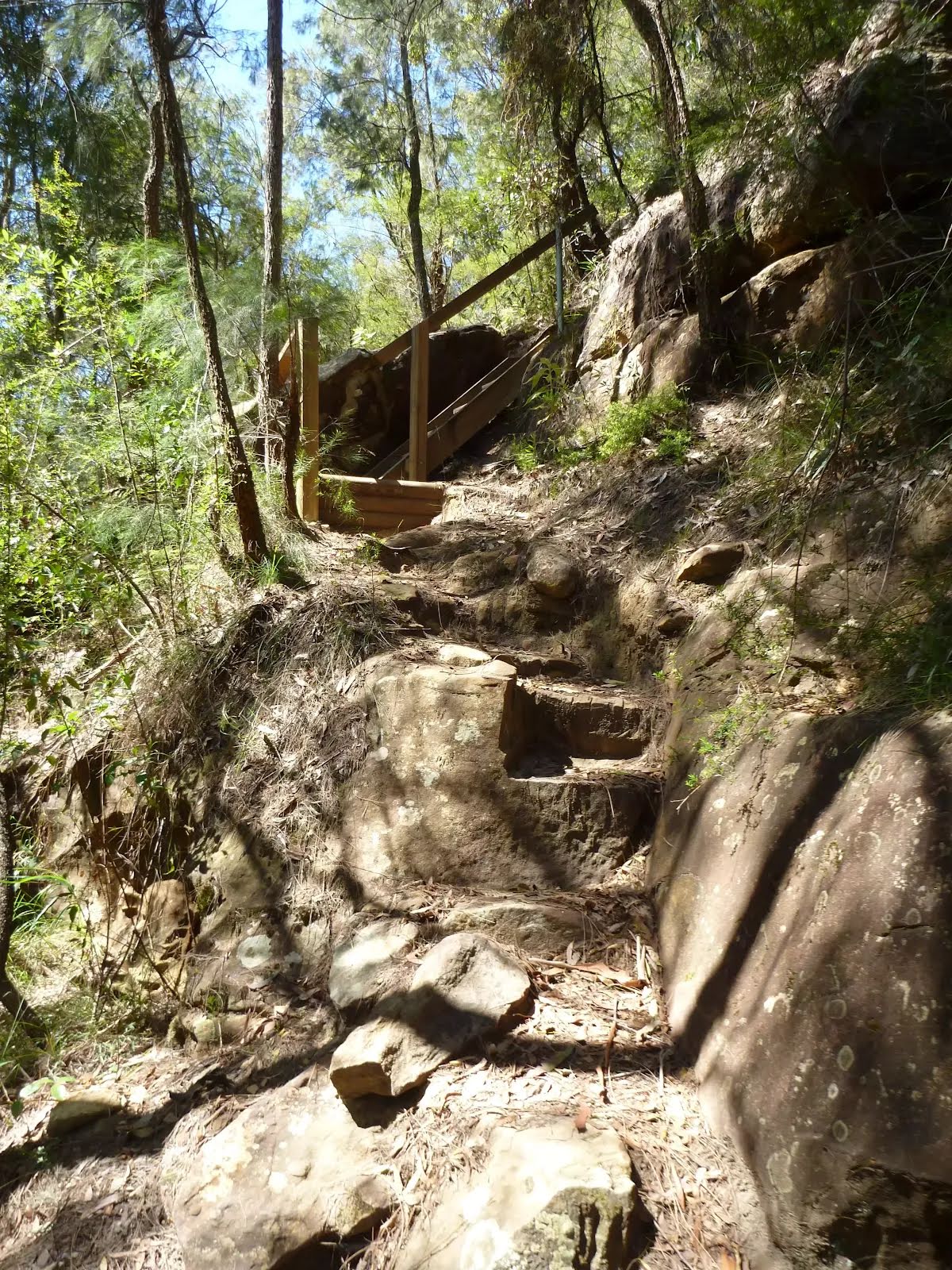
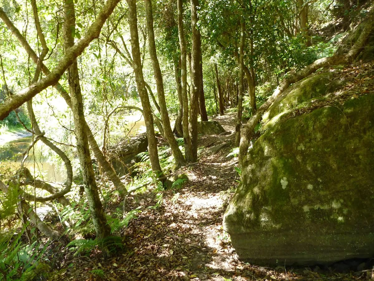
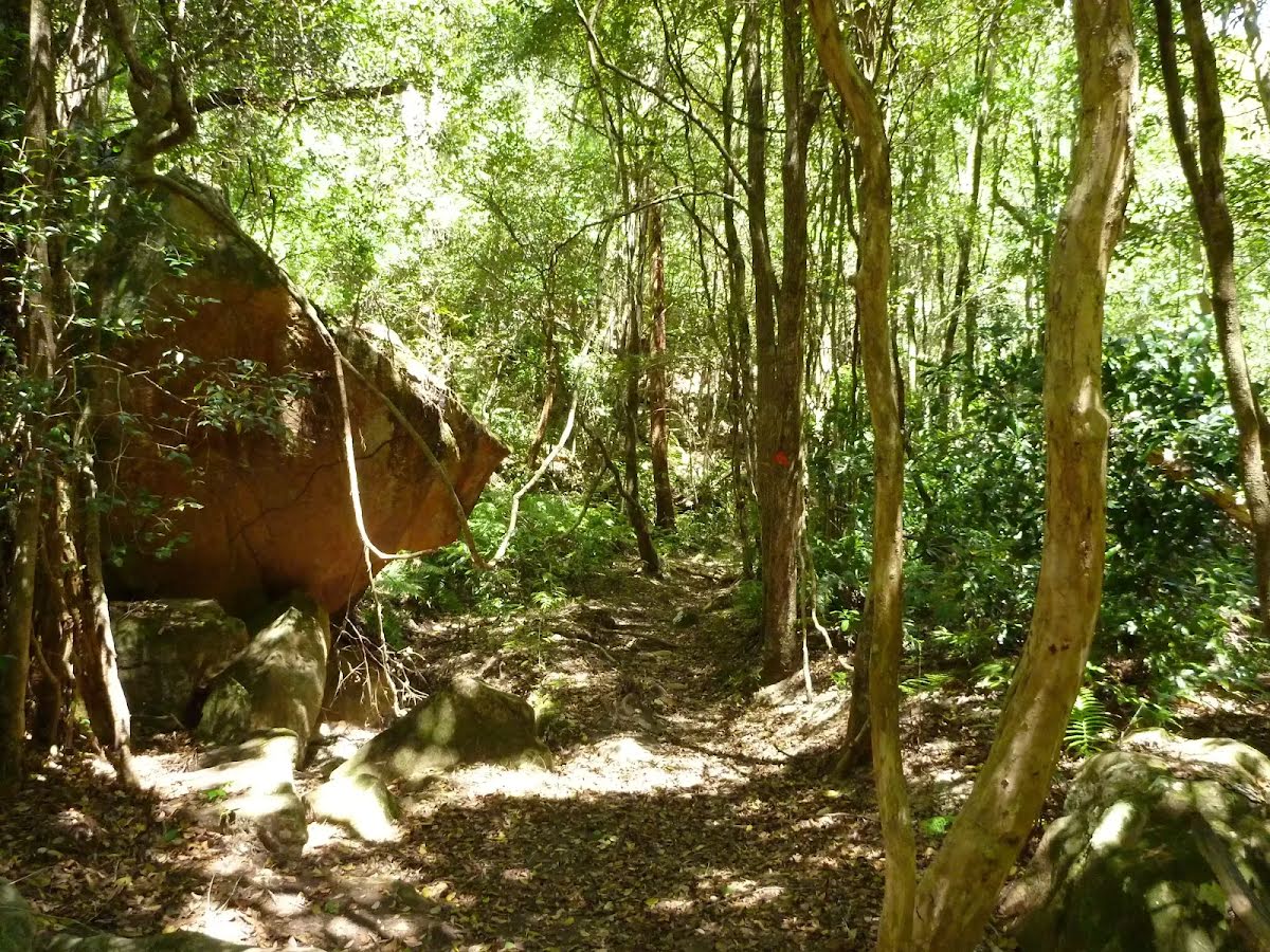
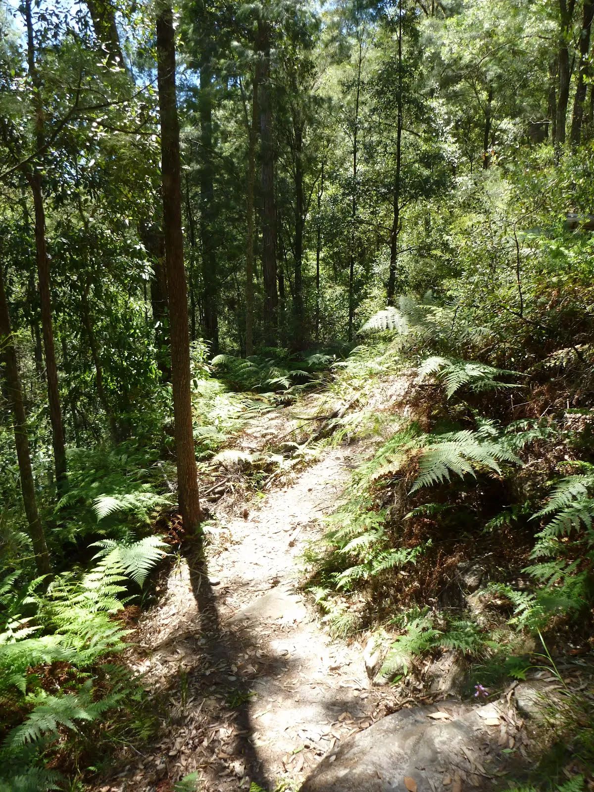
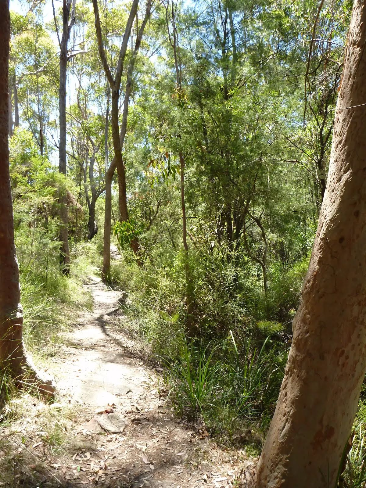
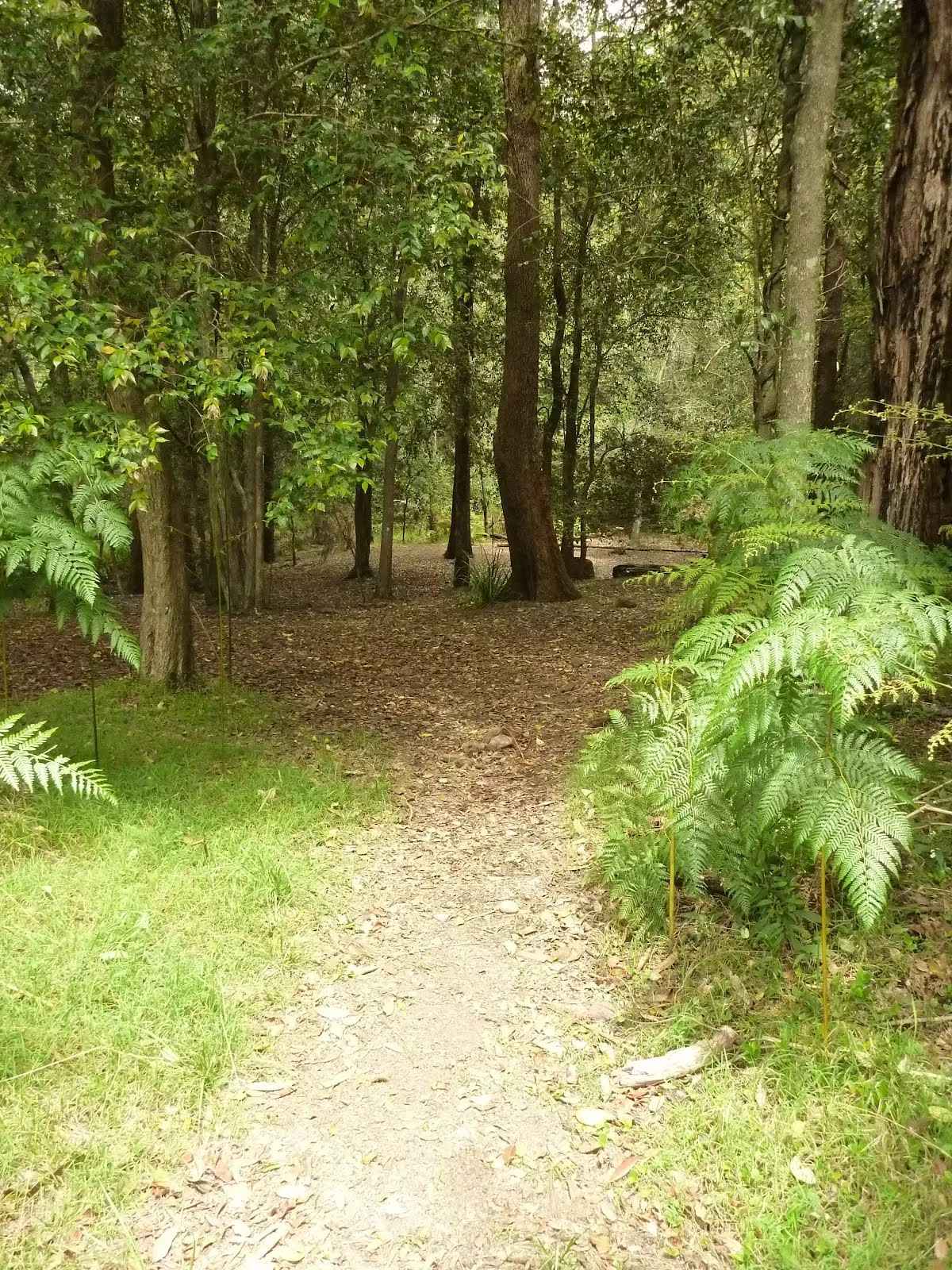
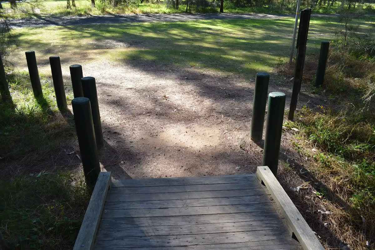
Getting started From the Galston Gorge trackhead, this walk follows the 'Crosslands' sign up the timber steps, away from the road. The track soon bends left then mostly flattens out as it winds along the side of the valley for almost 200m, where it passes above an old rusted car (some distance down the hill, to your left). Here the narrowing, rocky track winds down through a lovely grass tree and boulder forest for about 600m, coming to a small flat rock platform. The walk then bends right (ignoring the steep track down to the left). The track then leads among more grass trees for another 100m and crosses a mossy and rocky gully. Once across this gully, the track begins to climb steeply, then up a steep set of steps (through a crack in the rock). At the top of the steps, the track continues to climb for another 70m before mostly flattening out. Soon the track starts to wind downhill, crossing a wider mossy gully with larger boulders and a small waterfall. The gully is marked with a few GNW markers.....
Turn map
Directions & comments
Start.
Find the Galston Gorge track head at the start.
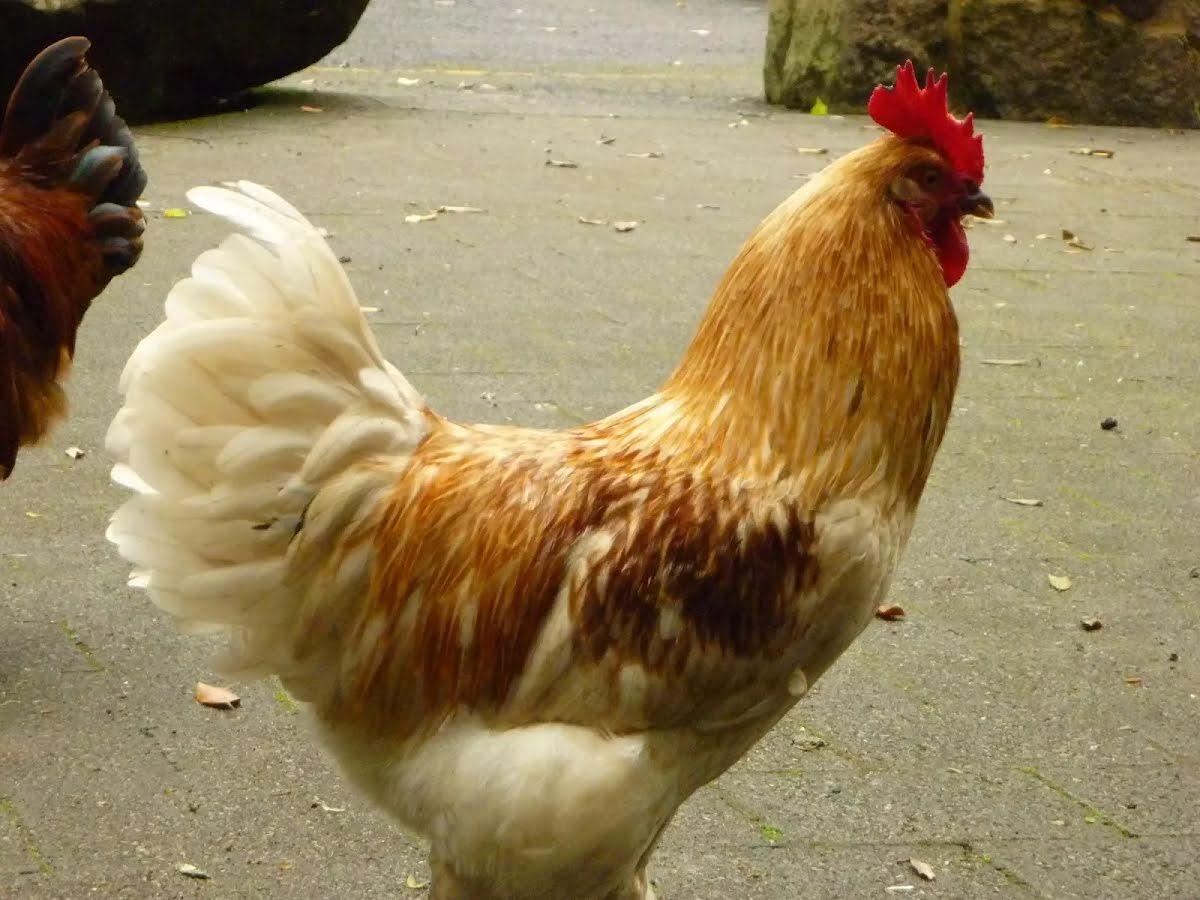
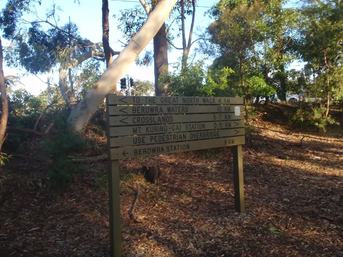
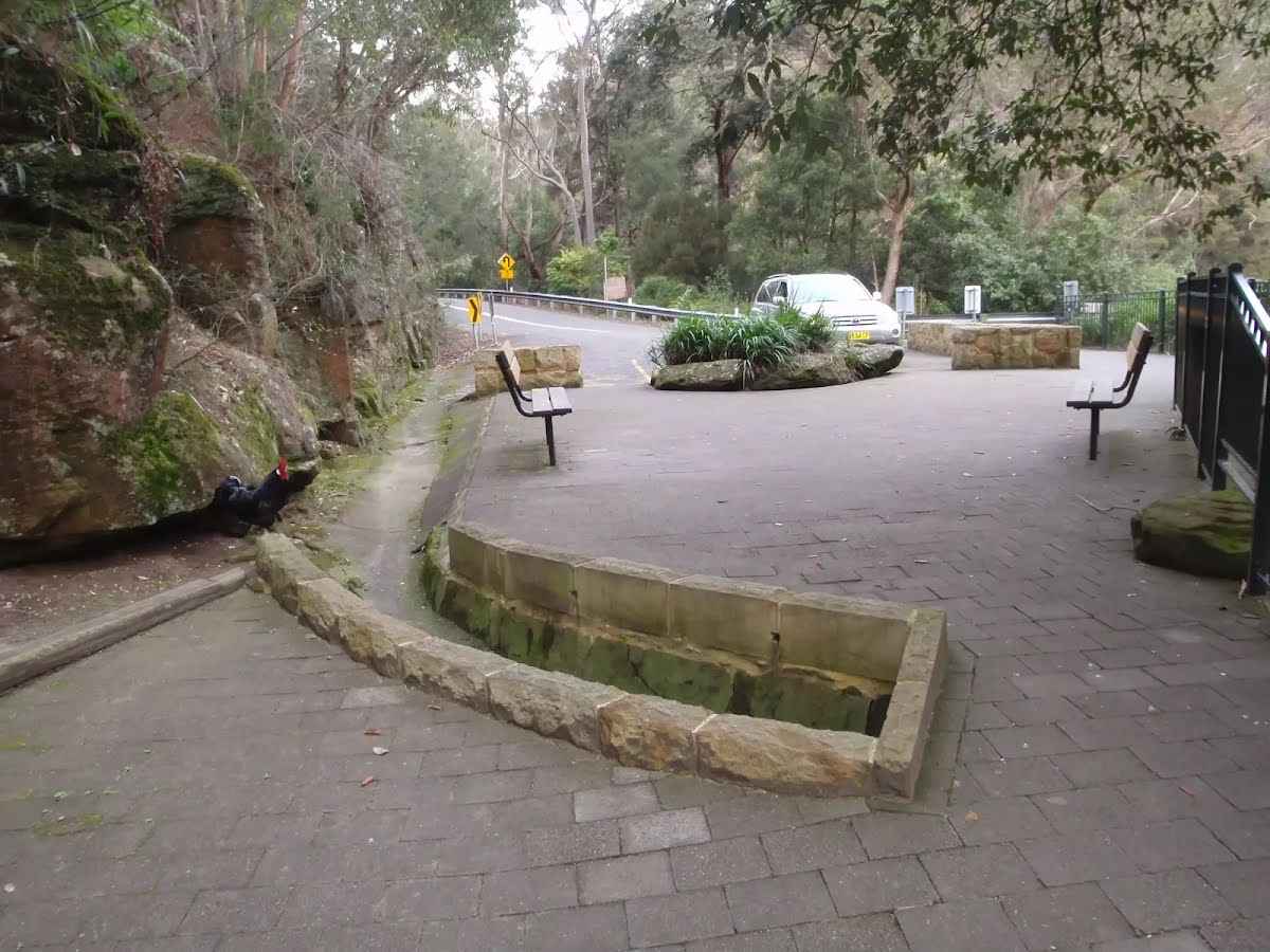
Galston Gorge track head is located at a small car park on the eastern side of Berowra Creek, near the bottom of the gorge on Galston Road. This track head is a good access point for those wanting to do sections of the Great North Walk and is well signposted. Keep an eye open for the local chickens.
After another 10 m (from the The Great North Walk) turn right, to head along The Great North Walk.
After another 1 m (from the The Great North Walk) continue straight, to head along The Great North Walk (a steps).
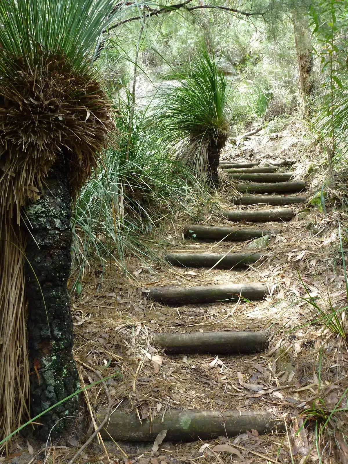
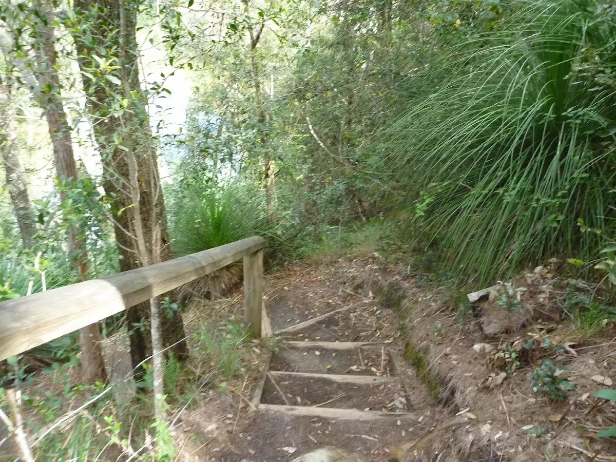
Then head up the 32 earthen steps (about 20 m long)
After another 360 m head down the 38 earthen steps (about 20 m long)
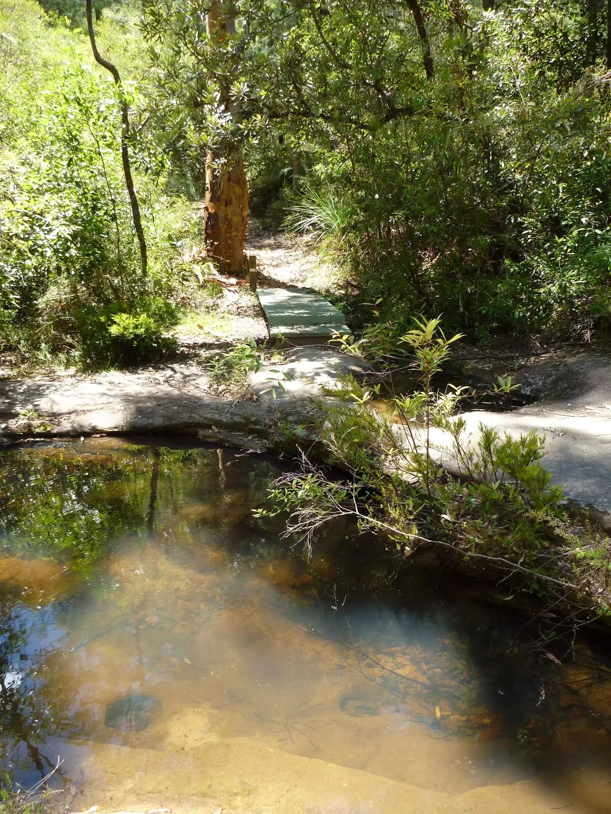
After another 620 m cross the ford.
From the The Great North Walk veer left, to head along The Great North Walk.
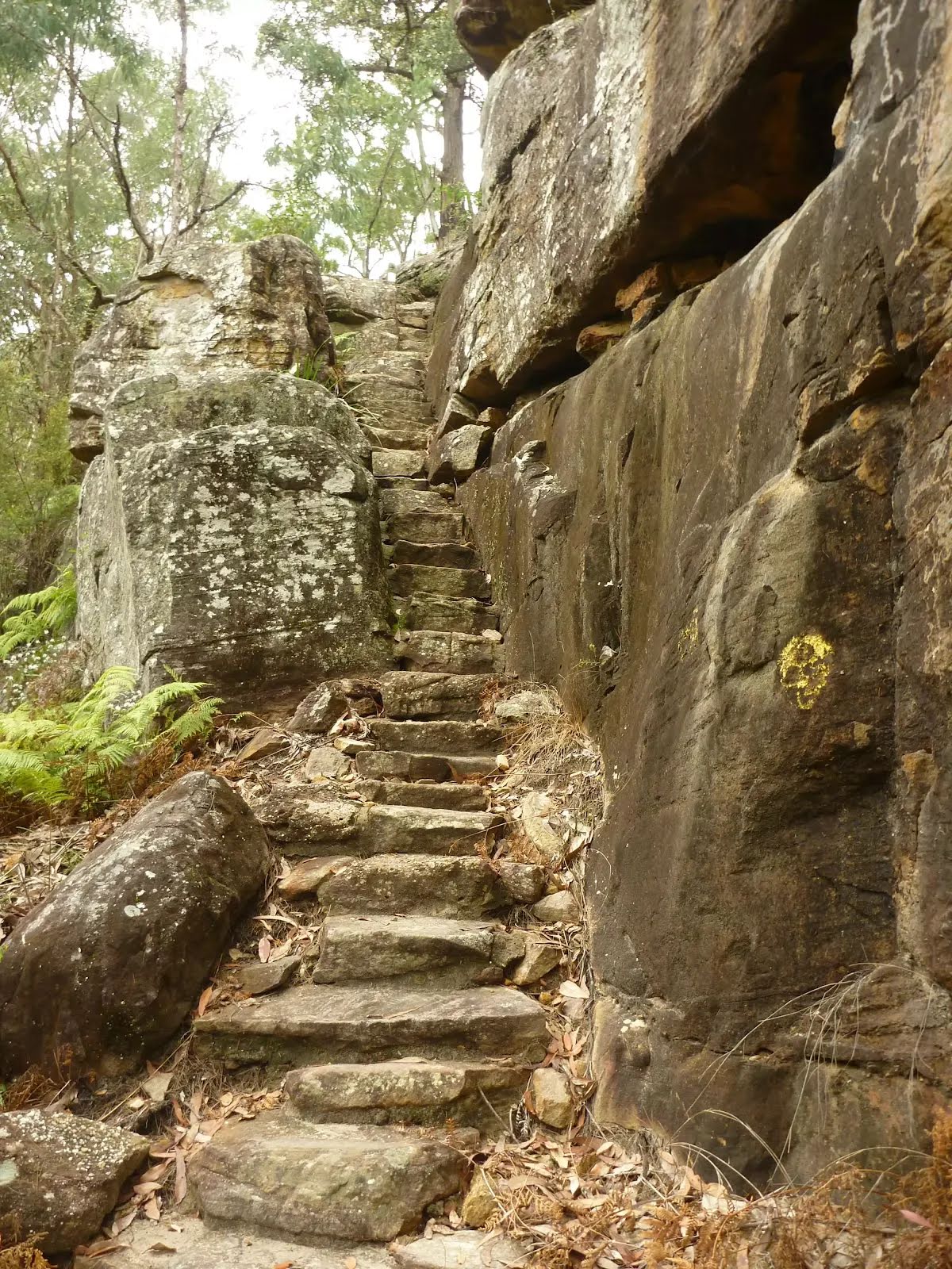
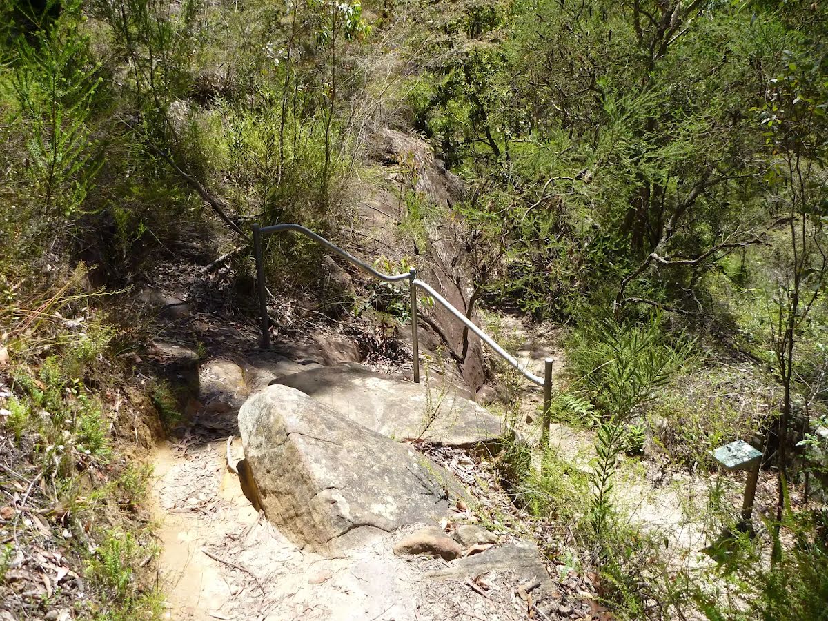
After another 30 m head up the 33 stone steps (about 15 m long)
After another 15 m head up the 35 stone steps (about 9 m long)
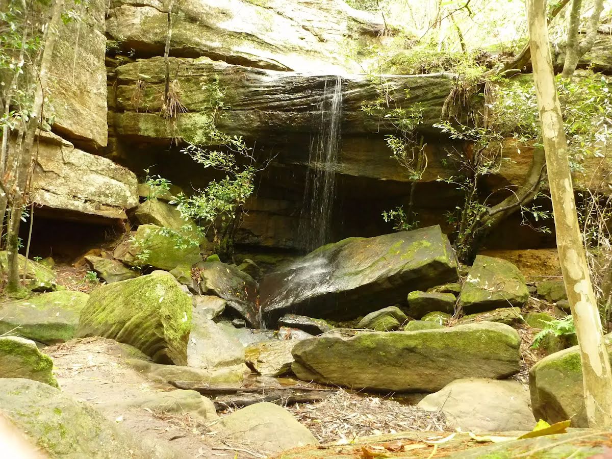
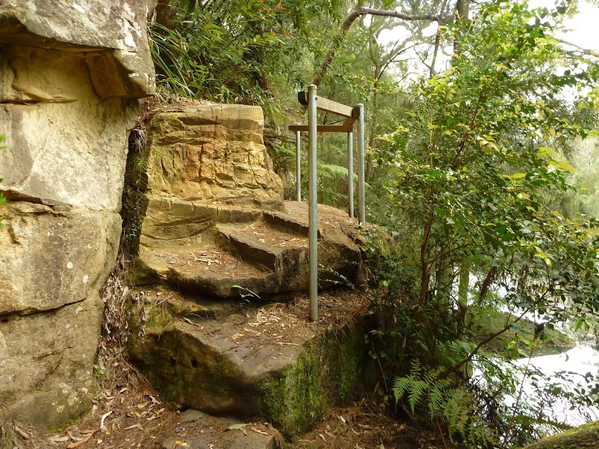
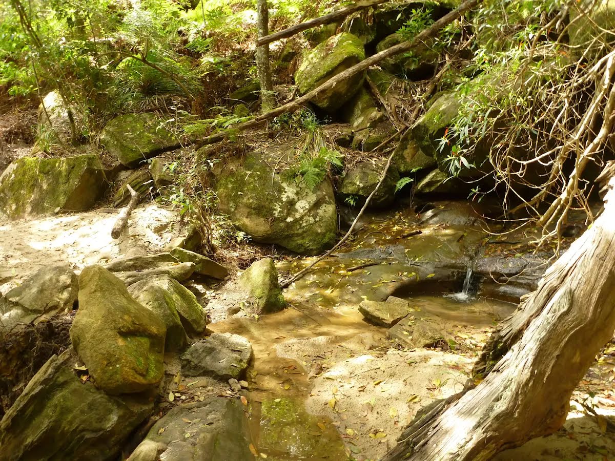
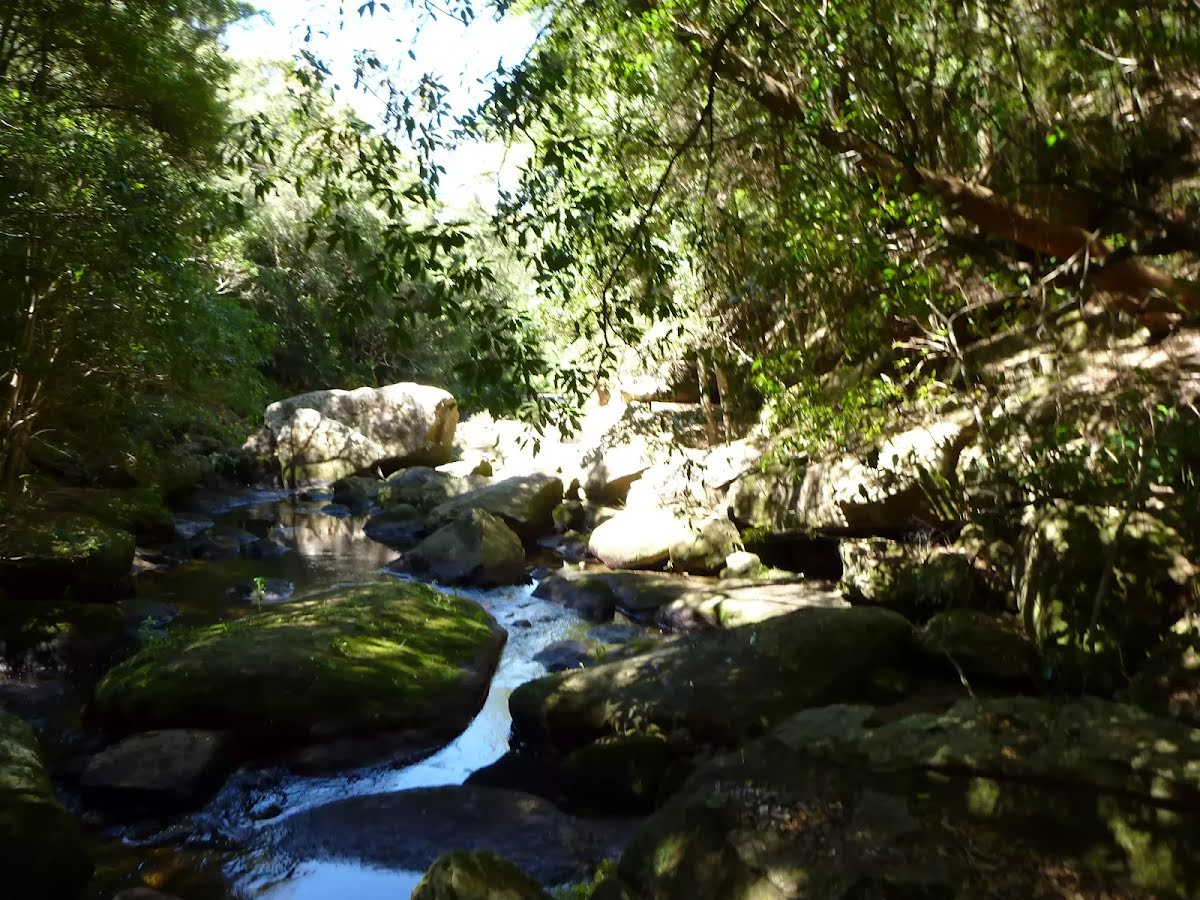
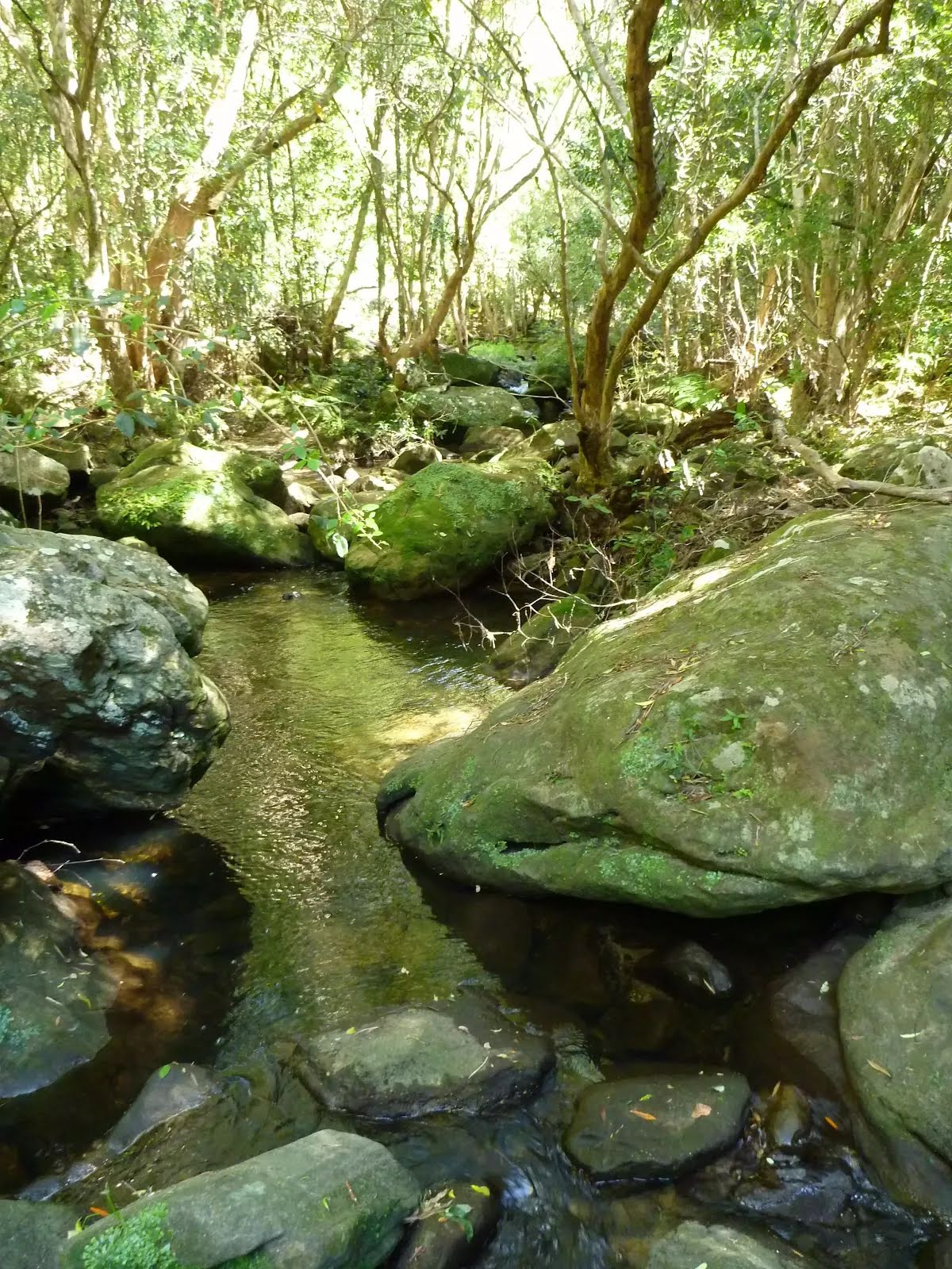
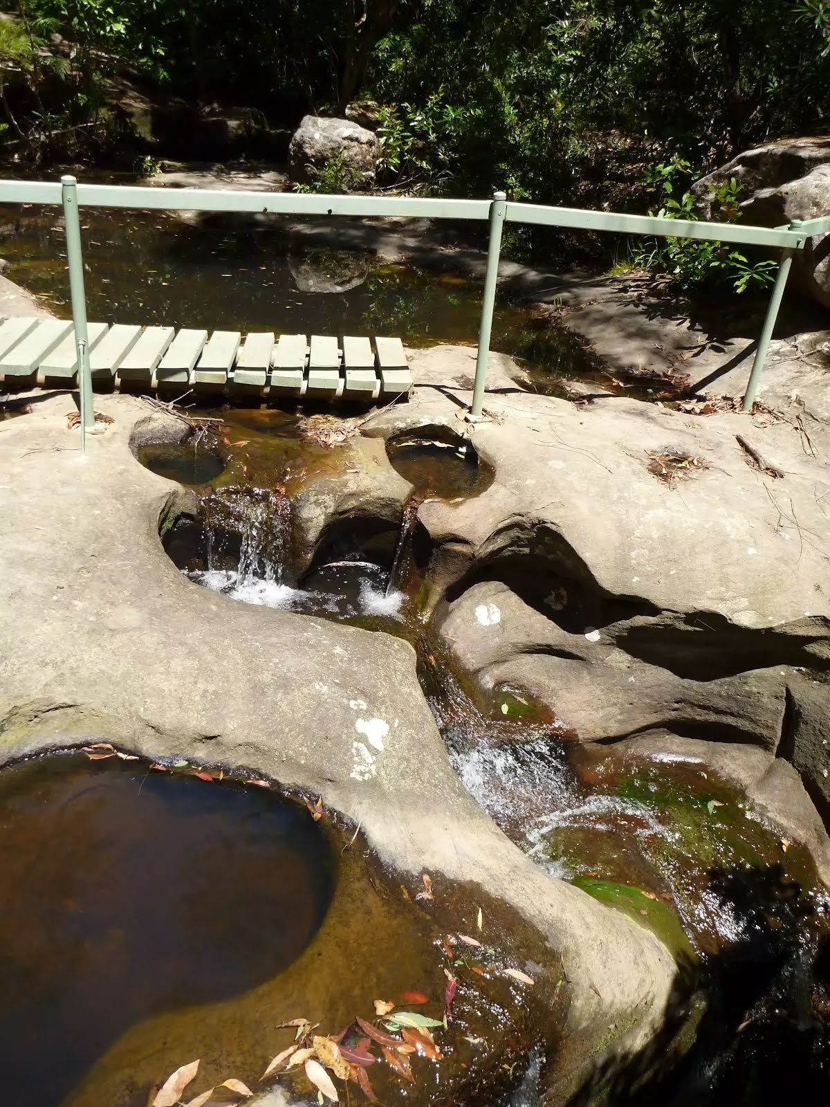
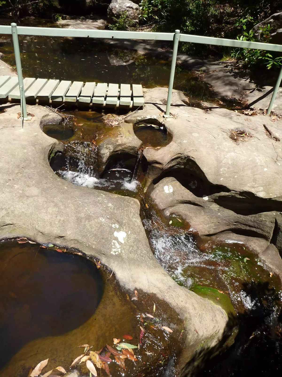
After another 185 m find the "Gulley Creek Falls" (15 m on your right).
This is a nice little creek crossing on the Great North Walk in Galston Gorge. The small falls flow just upstream of the track, even after a small amount of rain. Enjoy the cool shade of the trees at the creek crossing from the track.
After another 30 m cross the ford.
From the The Great North Walk turn left, to head along The Great North Walk.
After another 820 m cross the ford.
From the The Great North Walk continue straight, to head along The Great North Walk.
After another 320 m (from the The Great North Walk) continue straight, to head along The Great North Walk.
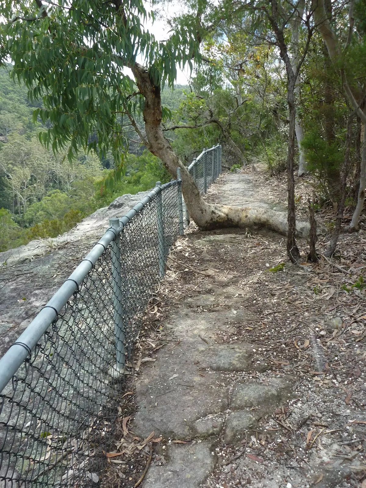
After another 165 m come to the viewpoint.
After another 580 m cross the ford.
At the intersection of The Great North Walk & Provest Creek veer left, to head along The Great North Walk.
After another 45 m head up the 19 earthen steps (about 15 m long)
After another 220 m cross the ford.
From the The Great North Walk veer left, to head along The Great North Walk.
After another 165 m cross the ford.
From the The Great North Walk continue straight, to head along The Great North Walk.
After another 120 m head down the 20 earthen steps (about 15 m long)
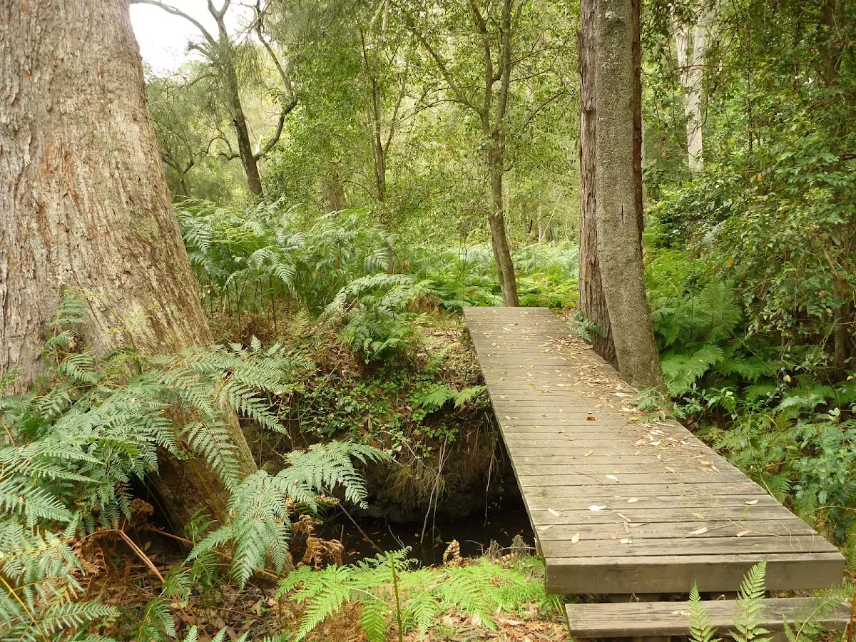
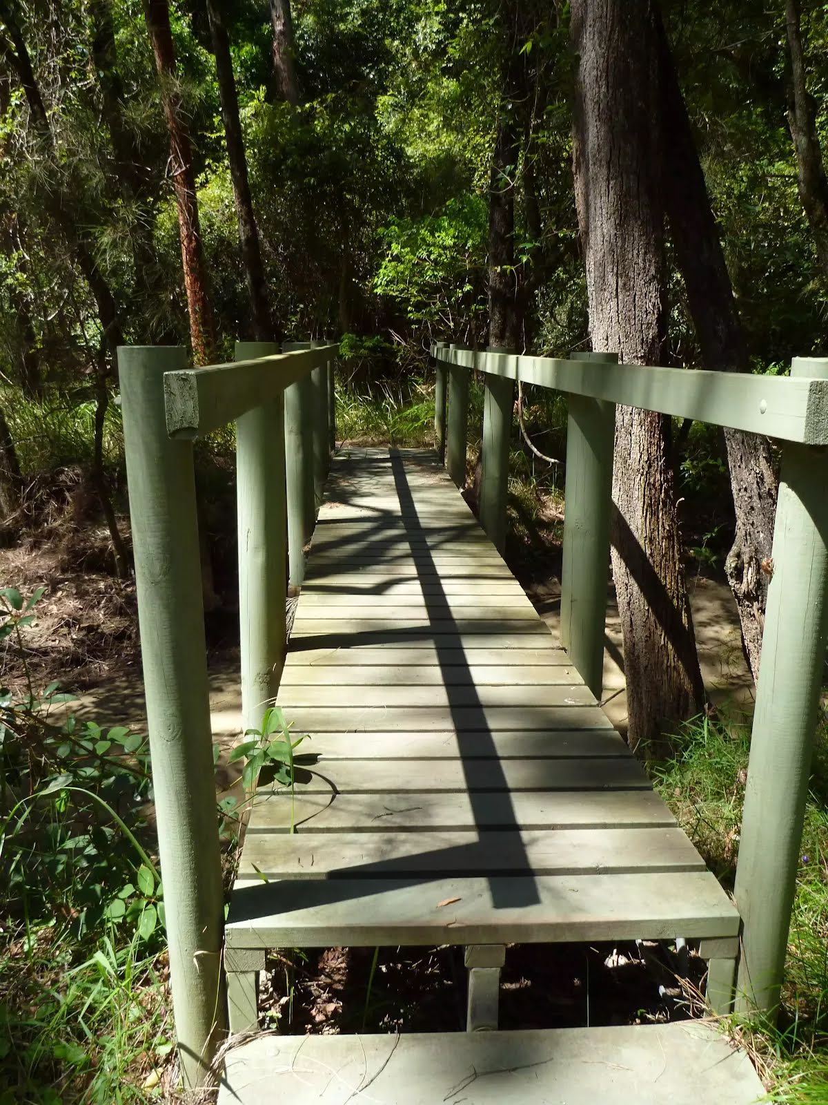
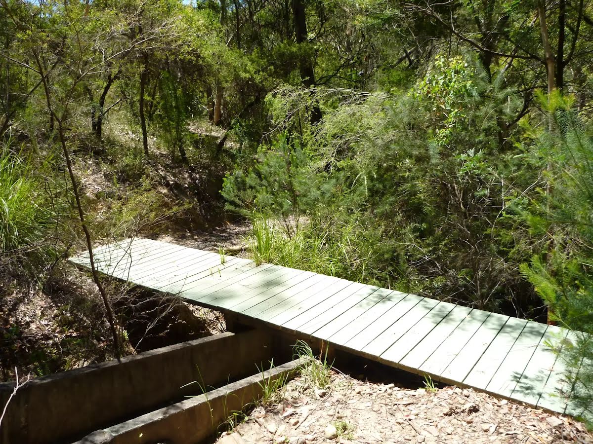
Then cross the bridge (about 6 m long)
After another 170 m cross the bridge (about 10 m long)
After another 65 m (from the The Great North Walk) continue straight, to head along The Great North Walk.
After another 6 m cross the bridge (about 6 m long)
After another 90 m (from the The Great North Walk) continue straight, to head along The Great North Walk.
After another 600 m (from the The Great North Walk) continue straight, to head along The Great North Walk.
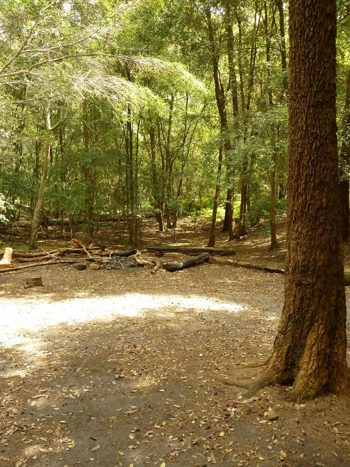
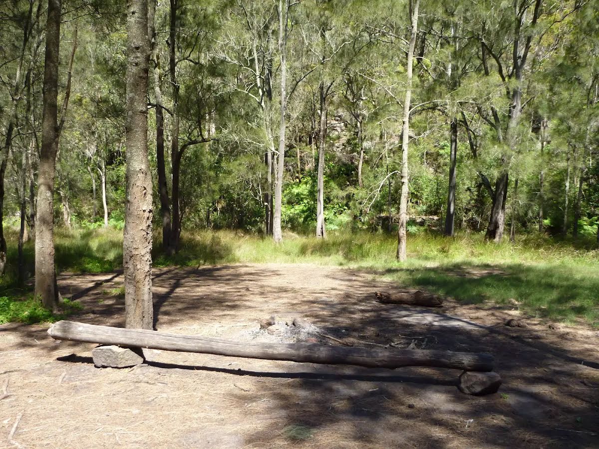
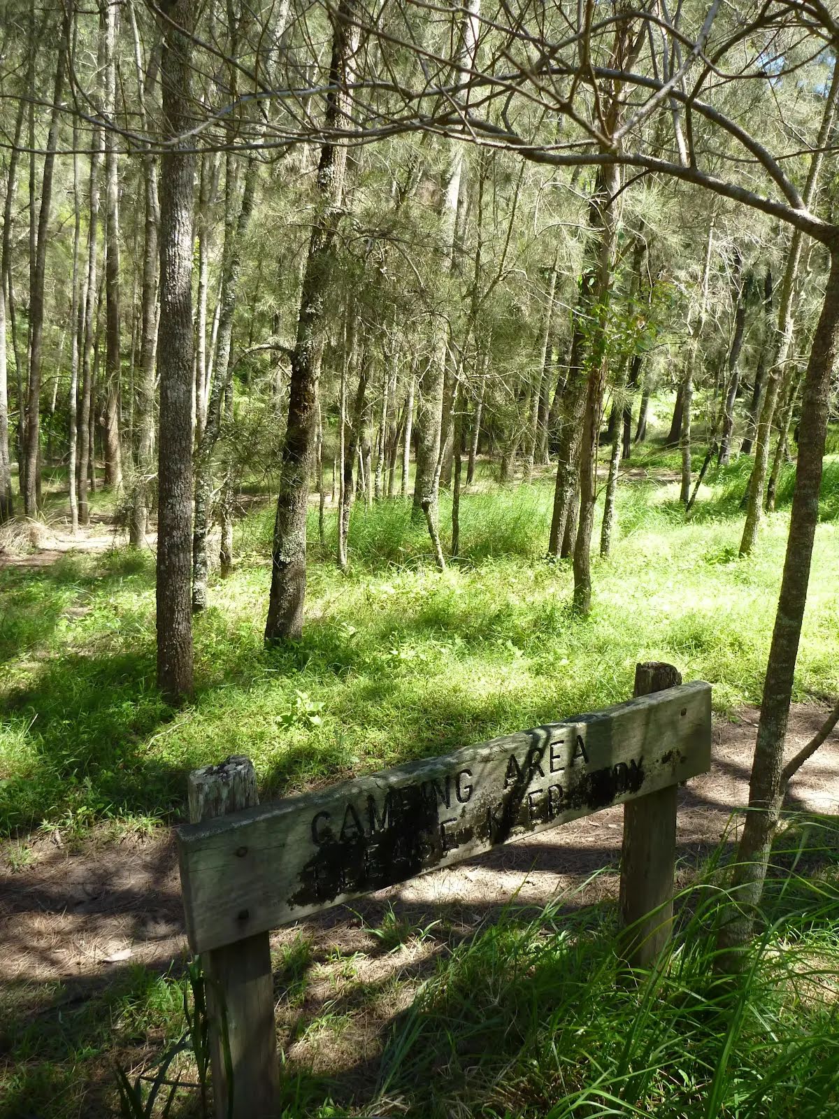
After another 20 m come to the "Berowra Creek camp" (35 m on your right).
After another 10 m find the "Berowra Creek campsite" (15 m on your right).
This shady campsite is located on the Benowie Track a short distance back from Berowra Creek, south of the Crosslands Reserve. Providing plenty of tree cover, flat ground and an established fire scar, this campsite is a great spot for those walkers who want a quiet night's sleep away from the more popular Crosslands Reserve. The creek water is brackish at this point, so it is not drinkable (except after heavy rain and lower tide, but then the water is more polluted) - best to bring your own water.
After another 25 m cross the bridge
After another 360 m cross the ford.
From the The Great North Walk turn left, to head along The Great North Walk.
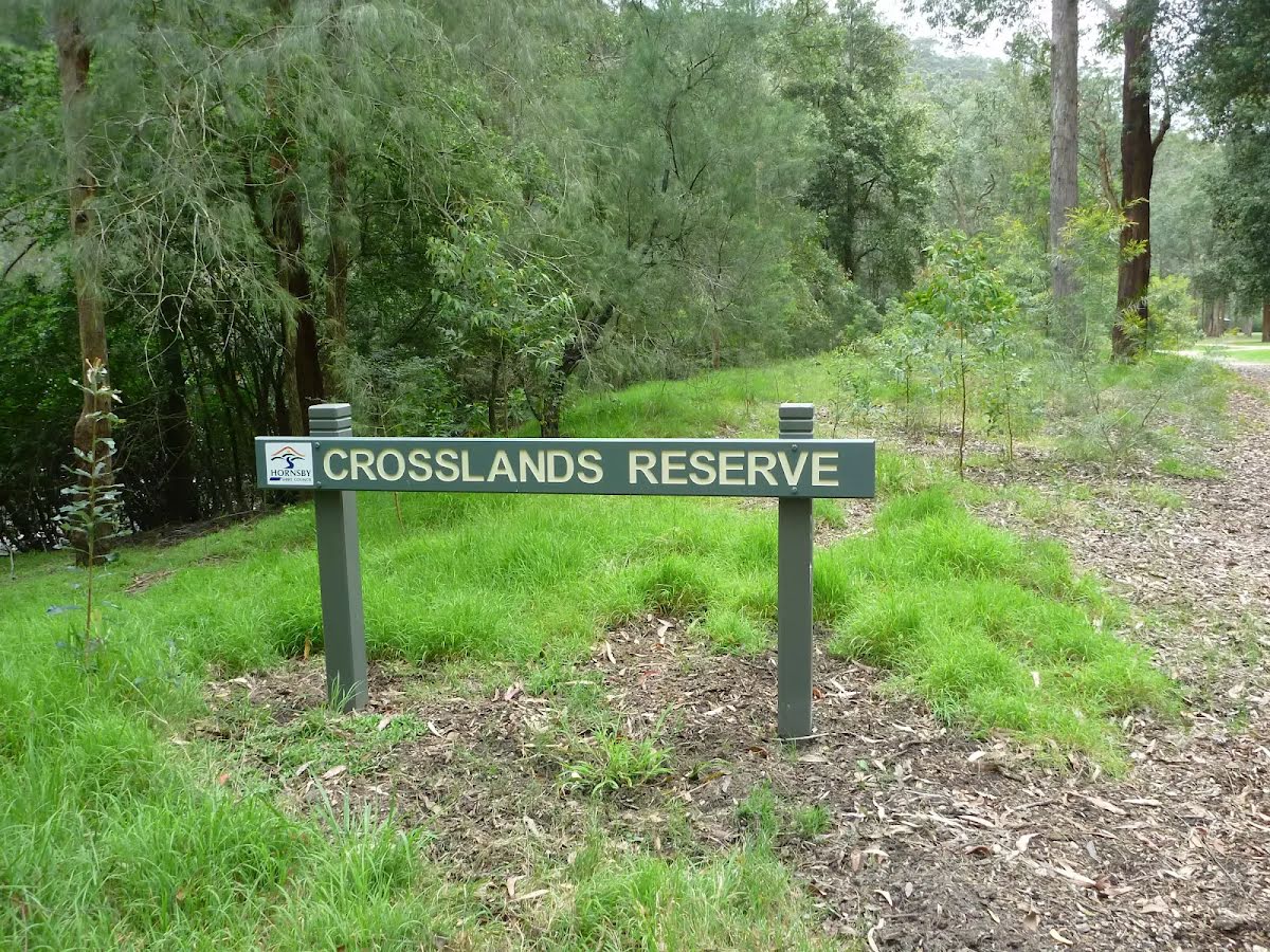
After another 265 m come to the "Crosslands Reserve" (55 m on your right).
After another 50 m cross the bridge (about 8 m long)
After another 45 m (from the The Great North Walk) continue straight, to head along The Great North Walk.
After another 25 m (from the The Great North Walk) continue straight.
After another 95 m cross the bridge (about 4 m long)
After another 330 m head down the 15 earthen steps (about 8 m long)
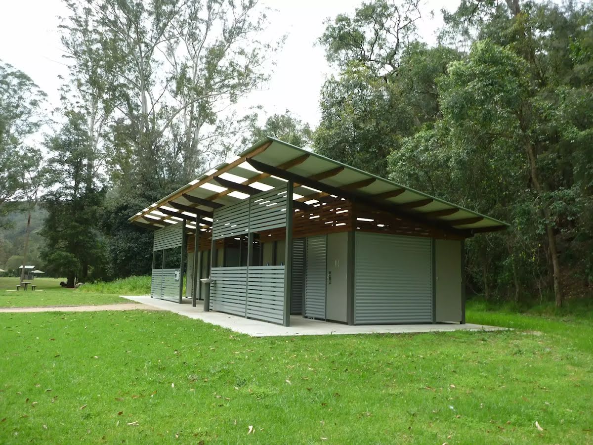
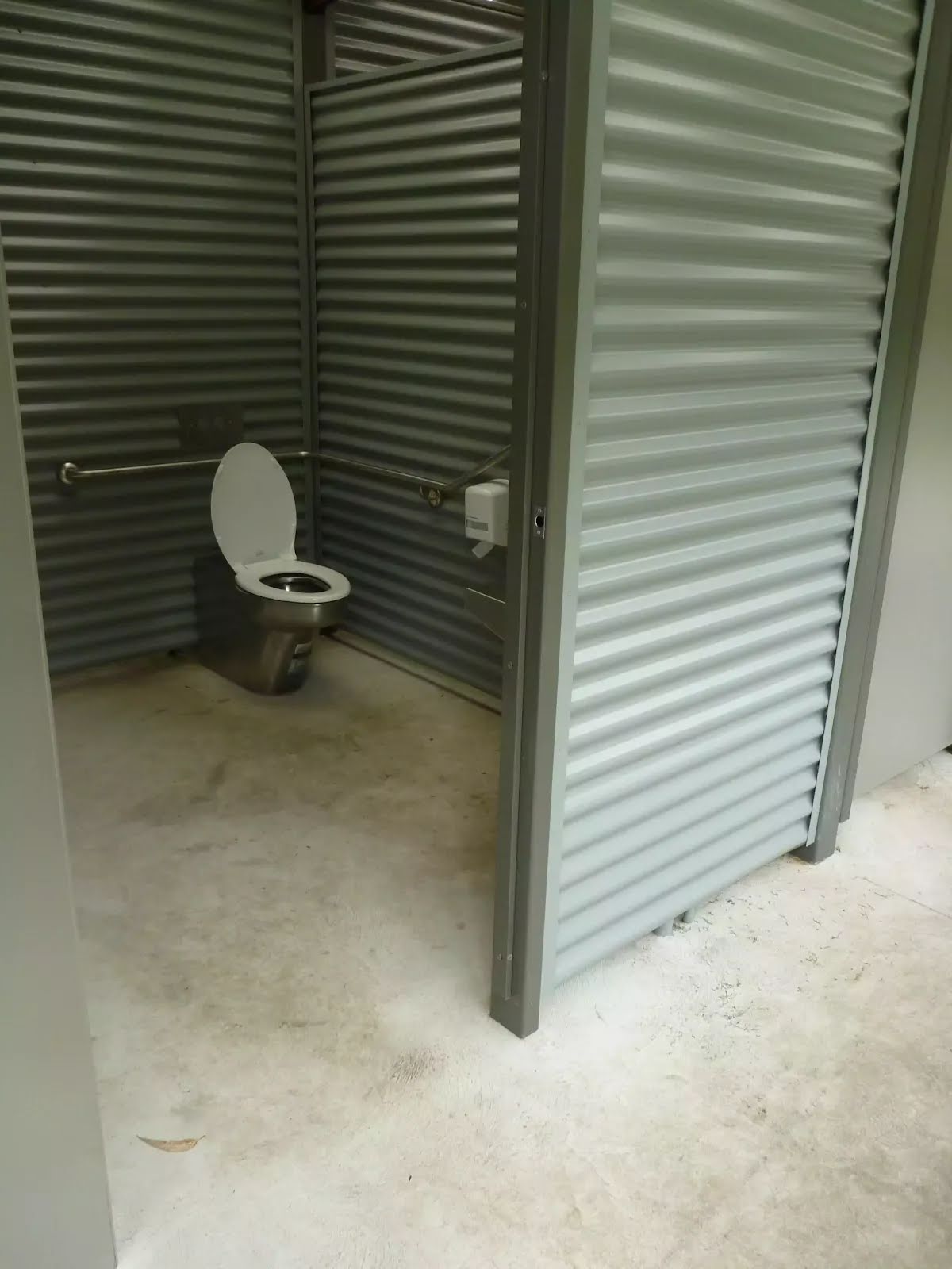
After another 130 m pass the toilet (10 m on your right). This toilet is wheelchair accessible.
After another 10 m pass the water tap (15 m on your right).
From the The Great North Walk continue straight.
After another 9 m find the "Crosslands Campsite" (15 m on your right).
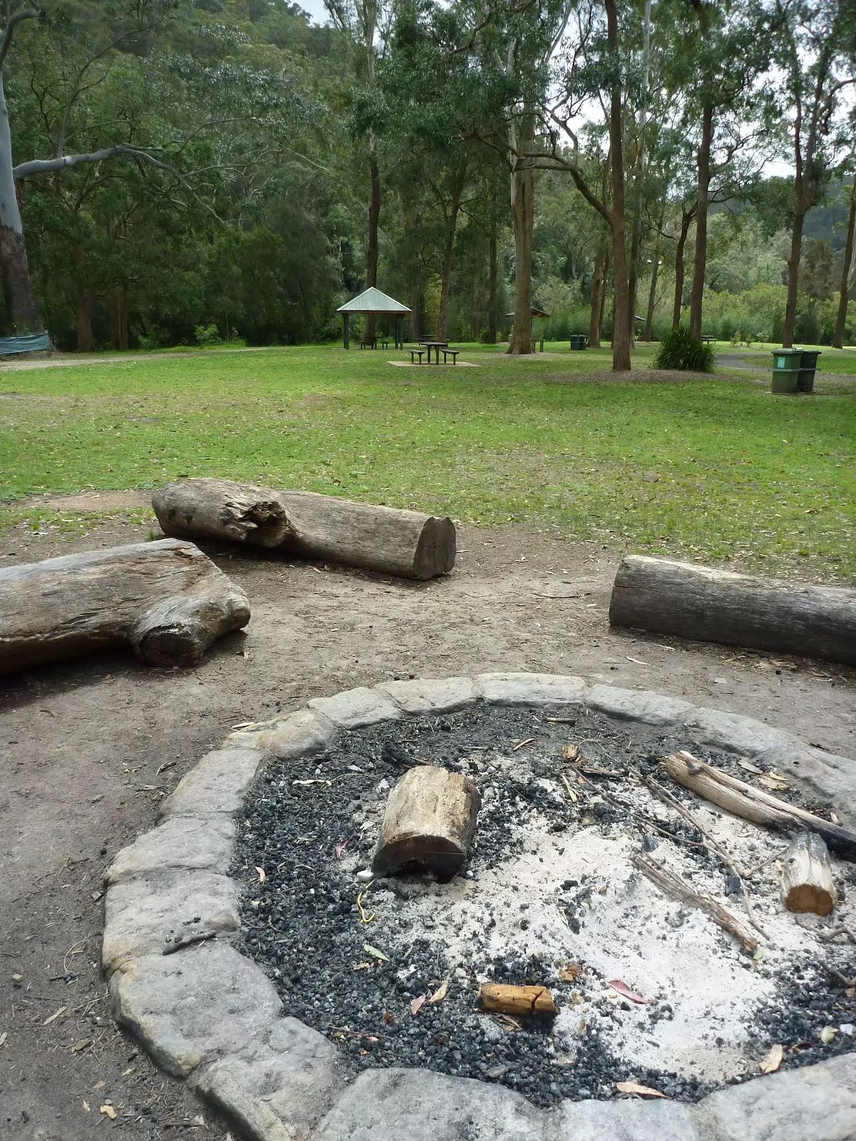
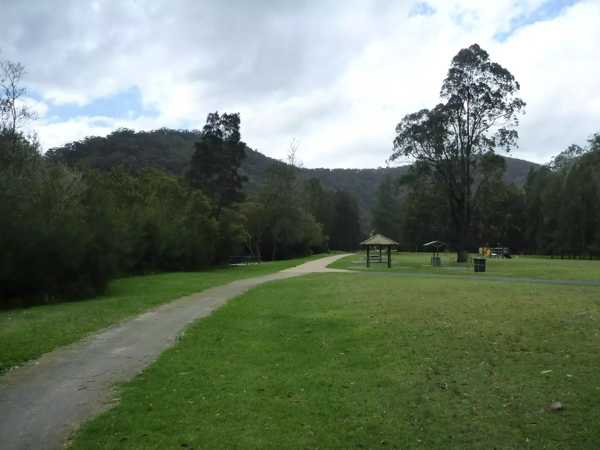
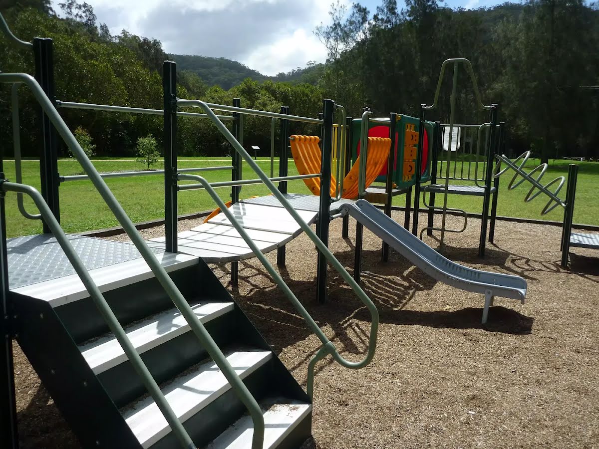
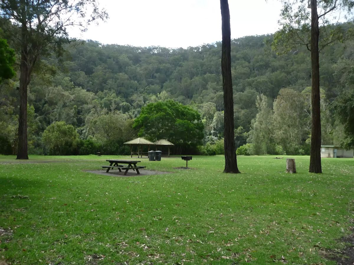
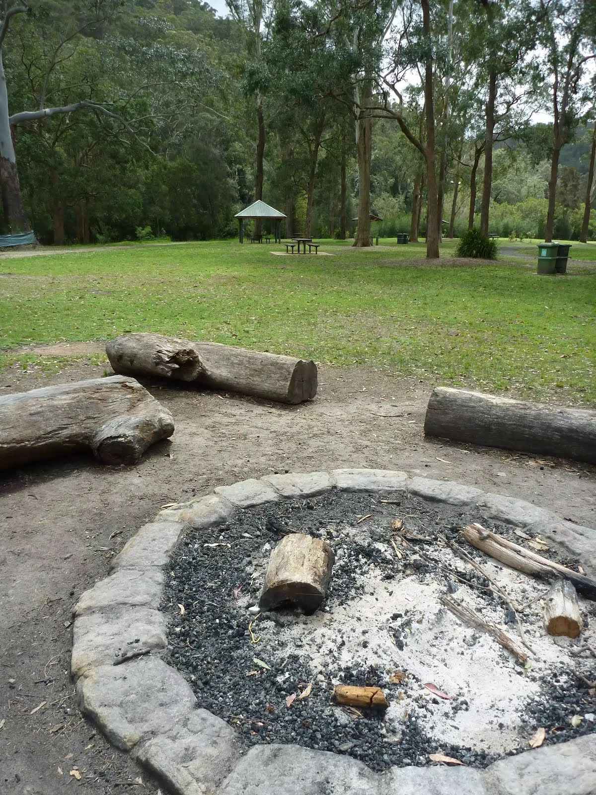
On the far southern end of Crosslands Reserve is a toilet block and campsite. The campsite is well set up and managed by Hornsby Council. There are picnic tables, electric barbecues, toilets, a children's playground, garbage bins and town water. There is a large flat grassy areas to camp and a single authorised fire pit. The campsite must be booked and fees apply - $9 per night for adults and $6 for children (infants under 4 are free). The gate at the top of the hill is locked at 5.30pm EST and 7.30pm (daylight savings time). A pleasant and well established campsite beside the river.
Continue straight.
After another 75 m continue straight.
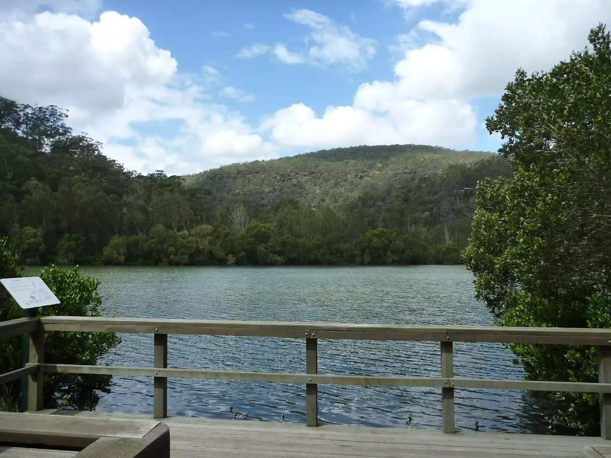
After another 15 m come to the "Viewing Platform" (20 m on your left). This viewpoint is wheelchair accessible.
After another 110 m continue straight.
After another 35 m come to the "Viewing Platform" (7 m on your left). This viewpoint is wheelchair accessible.
Continue straight.
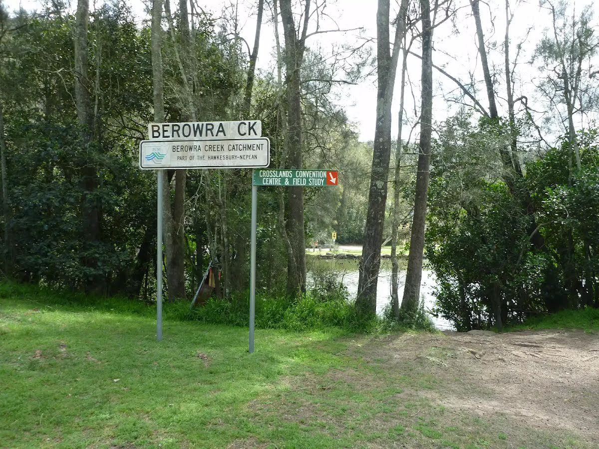
After another 70 m find the "Crosslands Youth & Convention Centre" (75 m on your left).
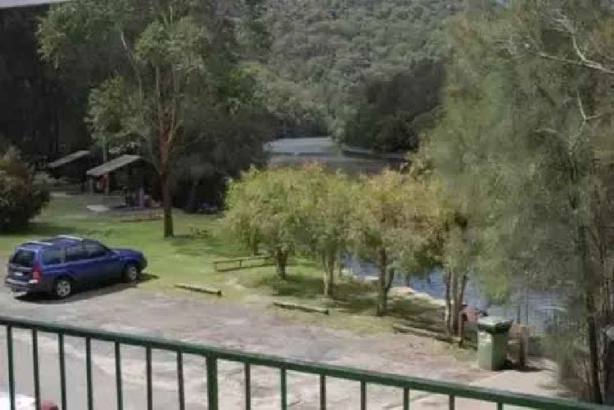
Crosslands Youth & Convention Centre is a wonderful facility run by the Seventh-day Adventist Church. The centre provides a large tent-based campsite ($12 pp/pn), large group dorm-style and unit-style accommodation. The units have 5 beds (plus sofa bed) and cost $36 a night per person. The units are equipped with a kitchen, TV, blankets, supplies for hot drinks, pillows, blankets and a balcony with views over Berowra Creek. You will need your own sheets, pillow cases and towels. Meal packs range from $5-$10 per person per meal. Breakfast includes juice, fresh fruit, cereal, toast and optional hash browns, eggs and sausages. Dinner includes juice, dinner rolls, salad, pie or sausage (or optional steak) and desert. No cigarettes, alcohol or other drugs are allowed on site. For more information, call your hosts John & Margaret on (02) 9653 1041.
After another 35 m pass the car park (5 m on your right).
Then find the "Crosslands".
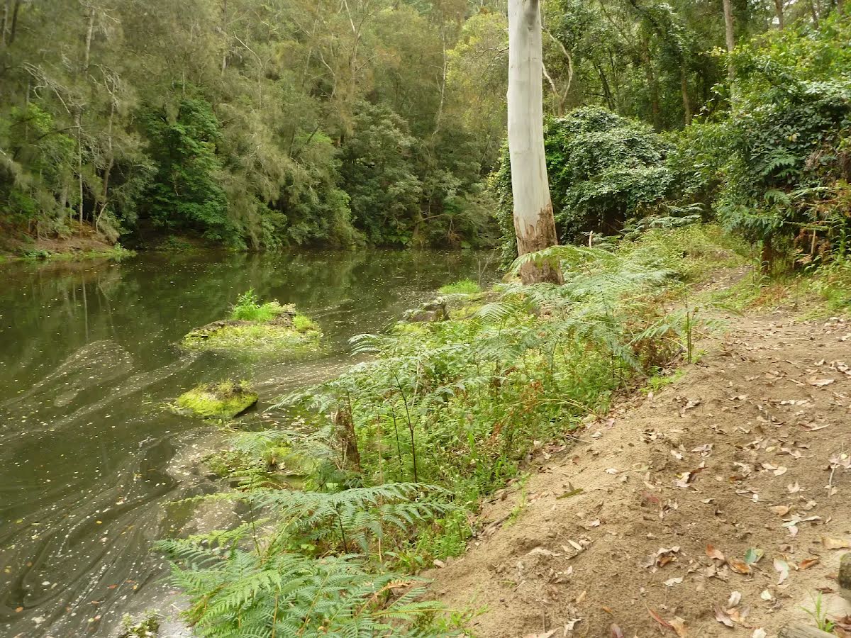
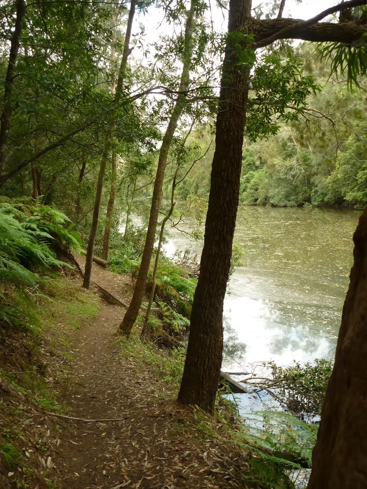
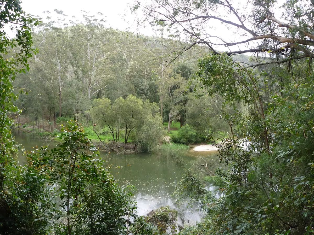
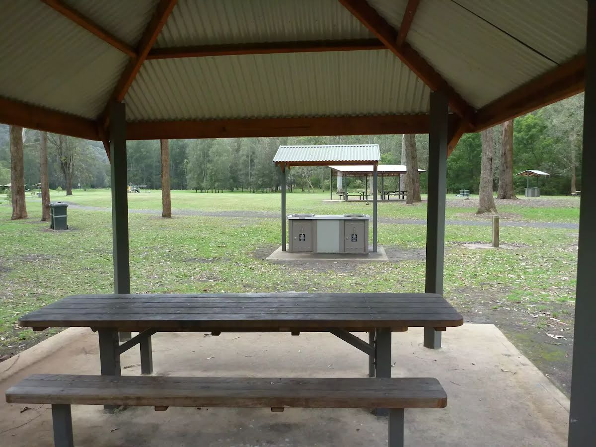
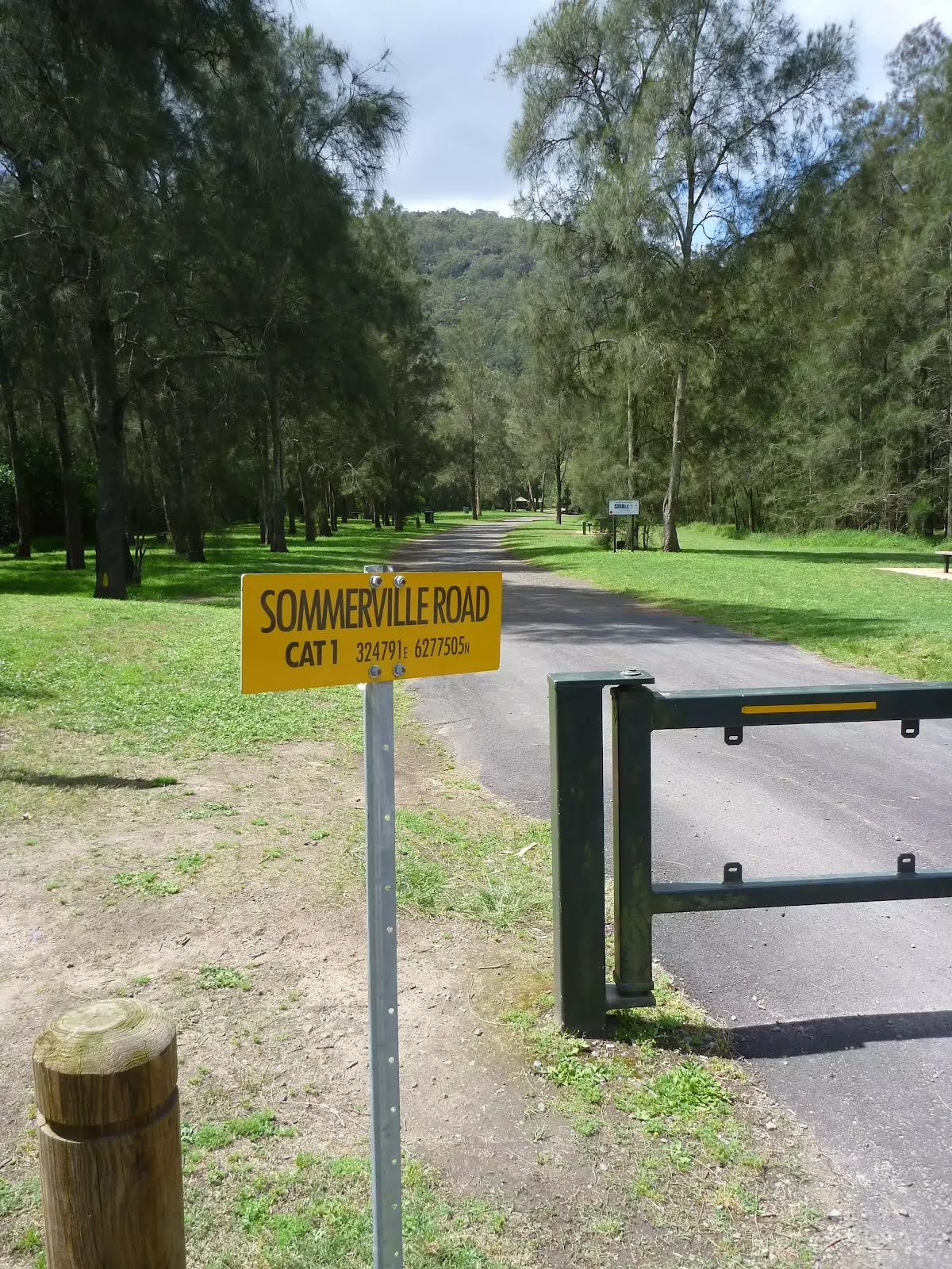
Crosslands Reserve is lovely and long mixed use picnic area, spanning along the edge of Berowra Creek. There are picnic tables, electric barbecues, toilets, car parking, a children's playground, garbage bins, camping area, toilets and town water. The southern part of Crosslands is managed by Hornsby Council and the northern half by the NPWS within the Berowra Valley National Park.
The first inhabitants of this area were a subgroup of the Dharug people who enjoyed the sandstone caves, fish and abundant plant life in the area. It is now managed by Hornsby Shire Council, but in 1856 Matthew Charlton asked Burton Crossland to be caretaker on this area. Burton built a house and made a living by harvesting timber, growing fruit, fishing and boat-building.
Turn left.
After another 10 m continue straight.
After another 7 m pass the sign (on your right).
After another 40 m pass the car park (5 m on your right).
After another 80 m (from the Canoe entry point) continue straight.
After another 30 m pass the "Windeyer Scout Camp" (65 m on your left).
After another 45 m pass the car park (8 m on your right).
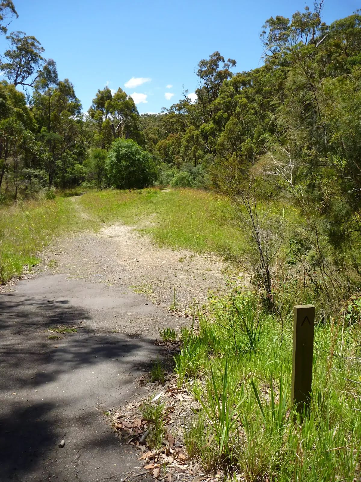
After another 50 m (from the Benowie Walking Track) continue straight, to head along Benowie Walking Track (a vehicle track).
After another 20 m find the "Picnic Table" (on your right).
A timber slat picnic table and bench seat. The table is 77cm high, 73cm deep and 2.4m wide. The seats are 47cm high, 29cm deep and 2.4m wide. On a conrete slab (3x5.5m) and about 7m (across grass) from the path.
After another 25 m pass the "tap" (on your right).
After another 170 m pass the shelter (30 m on your left).
After another 10 m (from the Benowie Walking Track) continue straight (a walking track).
After another 15 m pass the BBQ (50 m on your left).
After another 15 m pass the shelter (50 m on your left).
After another 9 m pass the water tap (50 m on your left).
Then find the "Crosslands North Picnic area" (about 9 m ahead).
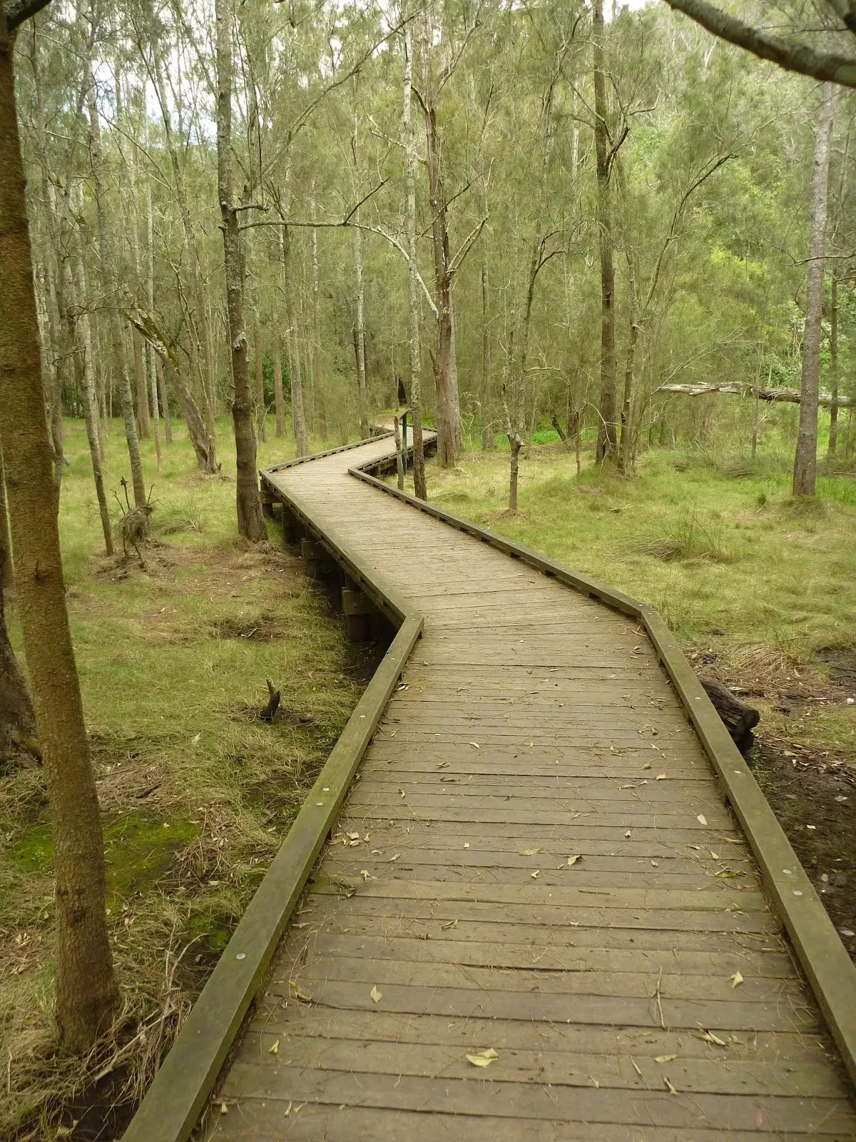
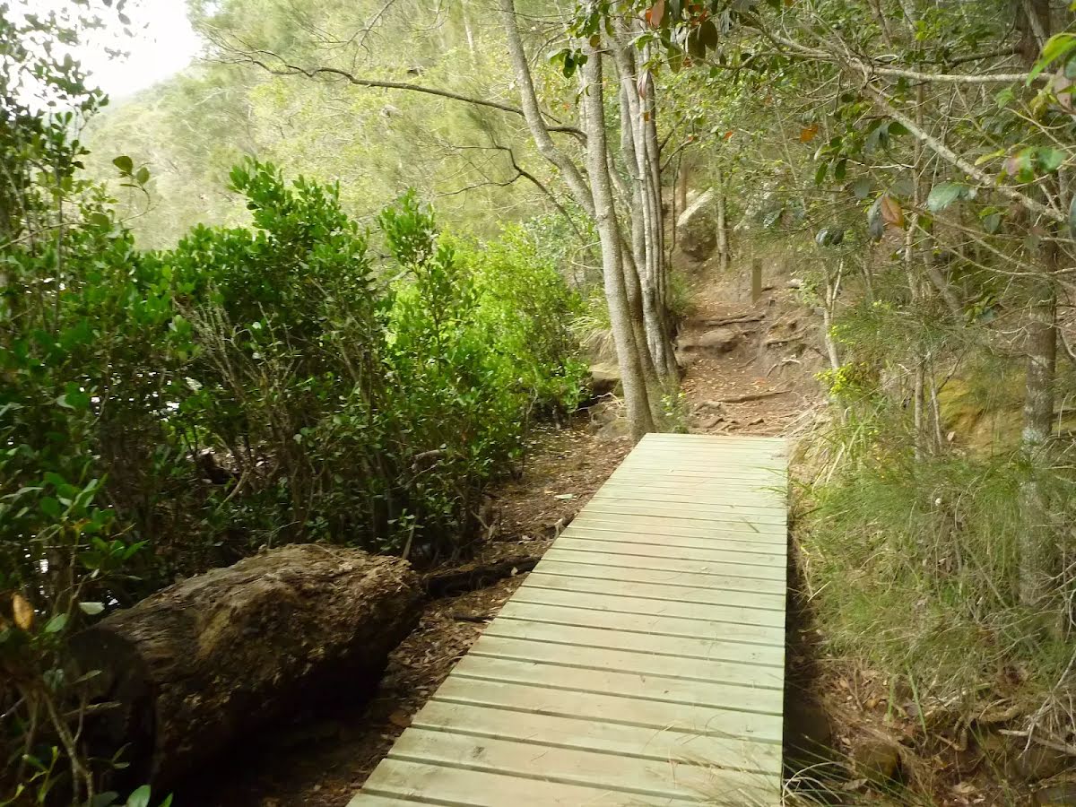
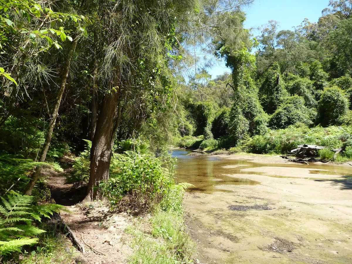
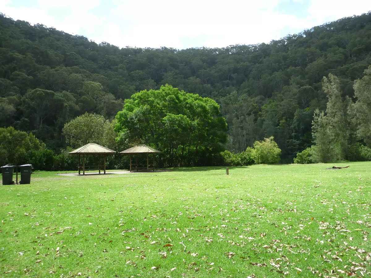
The northern section of Crosslands is in Berowra Valley NP and is a less formal picnic area compared with the southern area. There is a toilet block and a few sandy beaches with direct access to the water. Here you will find a few picnic tables and shelters, as well as garbage bins. The eastern side is home to a boardwalk exploring the estuarine wetland. A pleasant area to rest and enjoy the water. Fires are only permitted in formally established fire places .
Then pass the toilet (60 m on your left).
From the The Great North Walk turn right, to head along The Great North Walk.
After another 20 m find the "Trip Hazard" (on your left).
There is a 4cm step from between the dirt path and the northern end of the timber boardwalk.
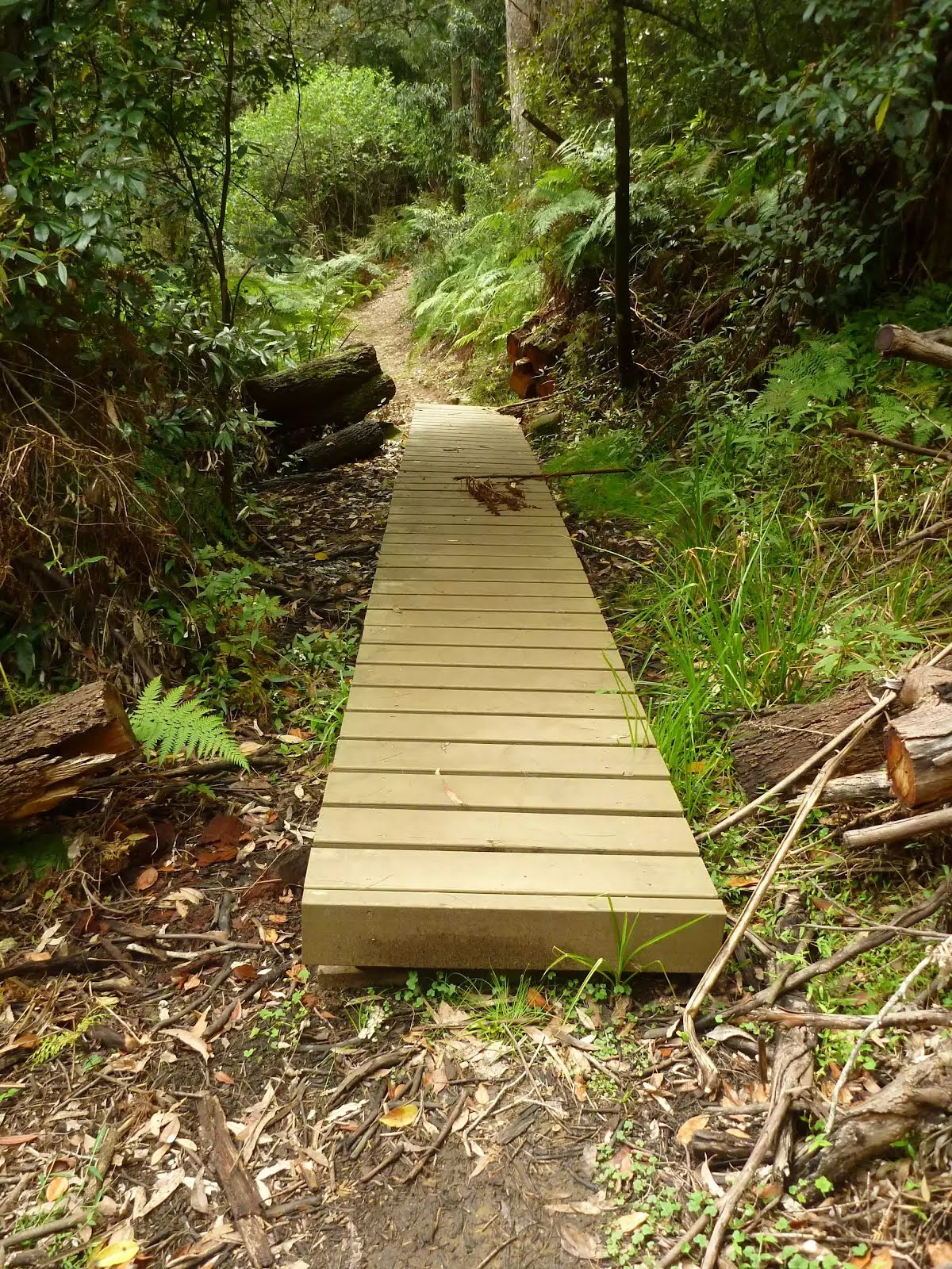
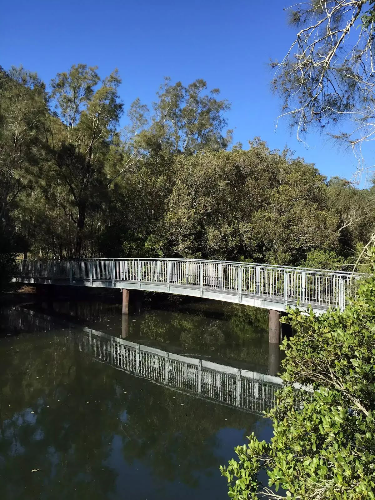
Then cross the bridge (about 55 m long)
After another 75 m cross the bridge (about 80 m long)
After another 35 m pass a seat (8 m on your left)., has a backrest.
From the The Great North Walk veer right, to head along The Great North Walk.
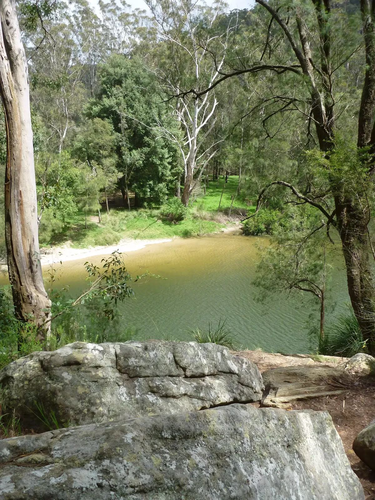
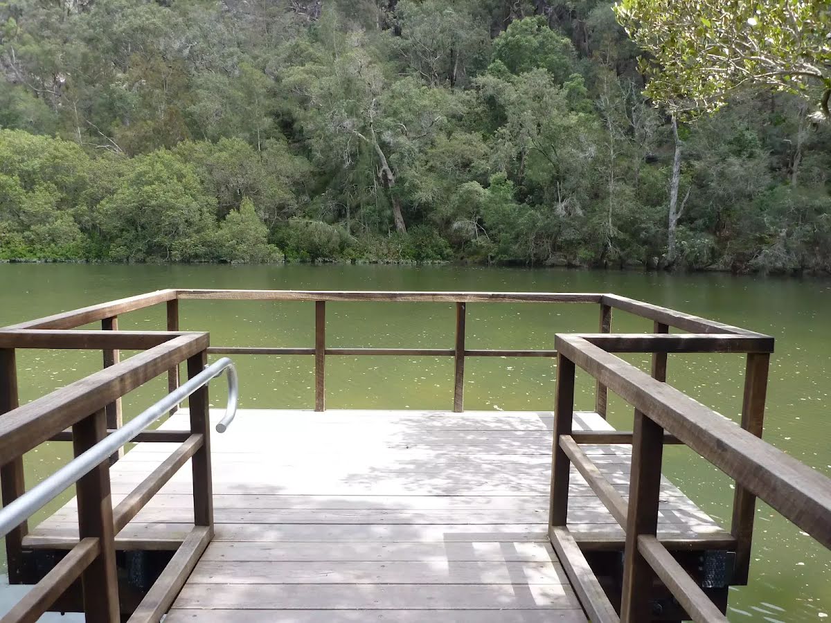
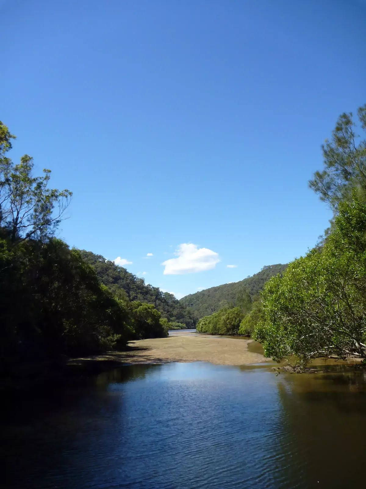
After another 8 m find the "Berowra Creek (Estuarie) Lookout" (on your left).
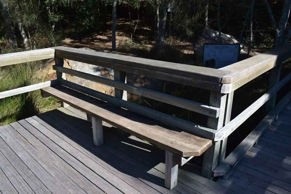
The Estuarie lookout over Berowara Creek is found at the end of the wheelchair-accessible walk in Crosslands area. The timber lookout platform provides great views over Berowra Creek, the timber fence is 95cm high. There are also information signs about the local flora and fauna and the 'Original Inhabitants'. There are two timber bench seats encouraging you to take some time to soak up this view.
Then find the "Seat" (10 m on your left).
Two timber slat bench seats built into timber viewing platform. Each seat are 41cm high, 28cm deep and 2.5m wide with a 54cm high backrest.
Then come to the viewpoint (6 m on your left).
After another 3 m (at the intersection of The Great North Walk & Abandoned Track) continue straight, to head along The Great North Walk.
After another 225 m cross the bridge (about 15 m long)
After another 130 m pass a seat (on your right)., has a backrest.
After another 7 m (from the The Great North Walk) continue straight.
After another 15 m (from the The Great North Walk) continue straight, to head along The Great North Walk.
After another 165 m head up the 65 steps (about 55 m long)
After another 20 m (from the The Great North Walk) continue straight, to head along The Great North Walk.
After another 20 m head down the 72 steps (about 55 m long)
From the The Great North Walk continue straight, to head along The Great North Walk.
After another 10 m pass a seat (on your left)., has no backrest.
After another 10 m cross the Calna Creek Bridge (about 30 m long)
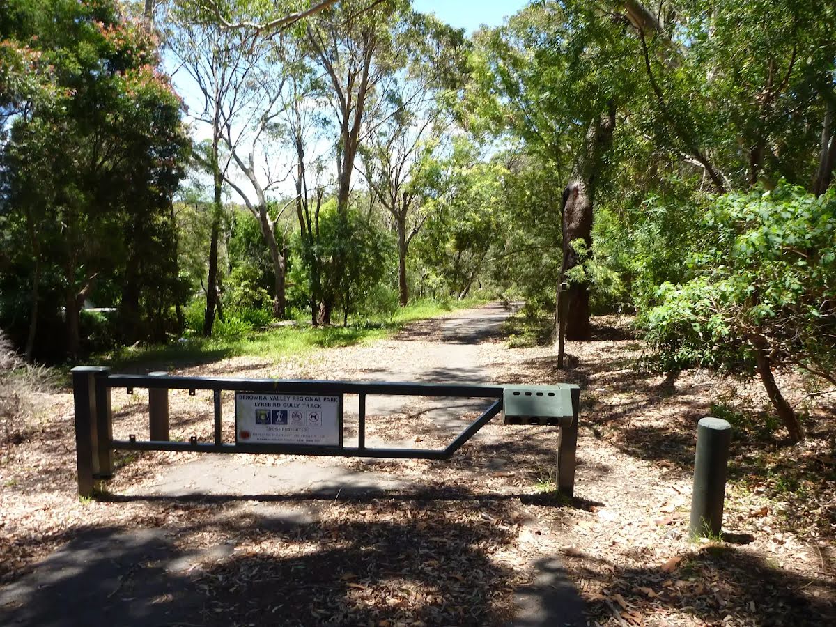
After another 3 m (at the intersection of Lyrebird Gully Track & The Great North Walk) turn right, to head along Lyrebird Gully Track.
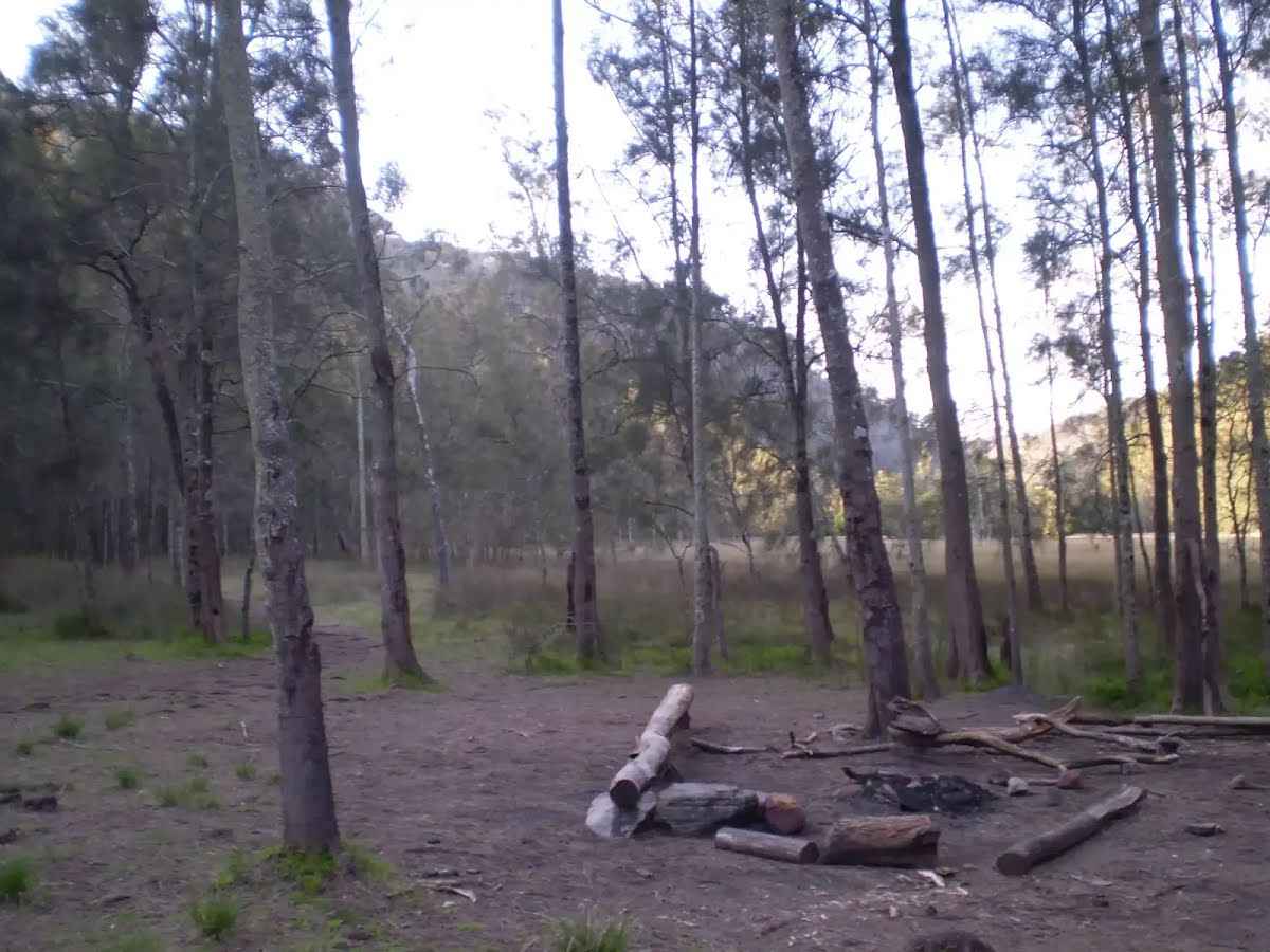
After another 135 m find the "Calna Creek Campsite (north)" (4 m on your left).
This is a quaint little campsite, located on the Mt Kuring-gai access track to the Great North Walk, on the banks of Calna Creek. This campsite provides plenty of room for a few tents, and also a fire scar with logs for seating. Carry in your own water as the salty creek water is not suitable for drinking.
After another 90 m head down the 6 wooden steps (about 3 m long)
After another 5 m head down the 5 stone steps (about 3 m long)
After another 155 m (from the Lyrebird Gully Track) continue straight, to head along Lyrebird Gully Track.
After another 35 m cross the bridge (about 7 m long)
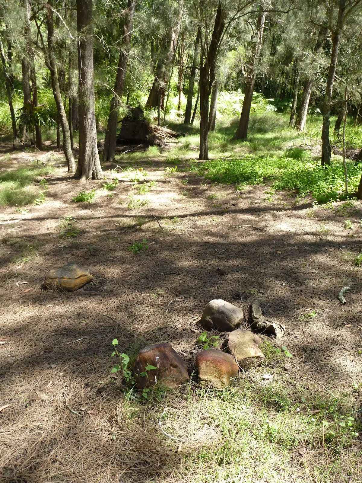
After another 120 m find the "Calna Creek Campsite (south)" (20 m on your left).
This small signposted campsite sits on a flat grassy clearing in a small casuarina forest which provides plenty of shade. There is a small fireplace set up. This creek-side campsite is a good spot for those wanting to get the most out of a relaxing, overnight camp, just a short stroll to Berowra Creek and the main spine of the Great North Walk. Bring your own water, as the creek water is not suitable for drinking.
Then cross the bridge (about 5 m long)
After another 850 m cross the ford.
At the intersection of Lyrebird Gully Track & Calna Creek continue straight, to head along Lyrebird Gully Track.
After another 145 m cross the ford.
At the intersection of Lyrebird Gully Track & Donnelly Creek continue straight, to head along Lyrebird Gully Track.
After another 75 m (at the intersection of Lyrebird Gully Track & Binya Firetrail Stretcher Access) continue straight, to head along Lyrebird Gully Track.
After another 155 m cross the ford.
At the intersection of Lyrebird Gully Track & Calna Creek continue straight, to head along Lyrebird Gully Track.
After another 560 m cross the bridge (about 3 m long)
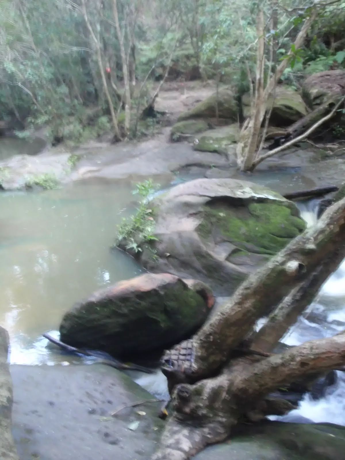
After another 50 m find the "Lyrebird waterfall" (8 m on your right).
This informally named waterfall is found on Lyrebird Gully creek about 300m upstream of its confluence with Calna Creek. The top of the fall is partially fenced with a timber handrail where the water flows over the solid rock platform, with naturally carved holes, to fall about 8m to the shallow pool and boulders below. The track passes the top of the fall and does not provide a good view of the face of the fall, but it is still a very pleasant spot.
Then cross the ford.
At the intersection of Lyrebird Gully Track & Lyrebird Gully Creek continue straight, to head along Lyrebird Gully Track.
Then pass the "Lyrebird Falls" (on your right).
After another 30 m cross the ford.
At the intersection of Lyrebird Gully Track & Lyrebird Gully Creek continue straight, to head along Lyrebird Gully Track.
After another 215 m cross the ford.
From the Lyrebird Gully Track continue straight, to head along Lyrebird Gully Track.
After another 140 m cross the bridge
After another 310 m cross the bridge (about 3 m long)
After another 8 m cross the ford.
At the intersection of Lyrebird Gully Track & Lyrebird Gully Creek continue straight, to head along Lyrebird Gully Track.
After another 500 m cross the bridge (about 4 m long)
After another 180 m cross the ford.
At the intersection of Lyrebird Gully Track & Lyrebird Gully Creek continue straight, to head along Lyrebird Gully Track.
After another 520 m (from the Lyrebird Gully Track) continue straight, to head along Lyrebird Gully Track.
After another 10 m pass the water tap (on your left).
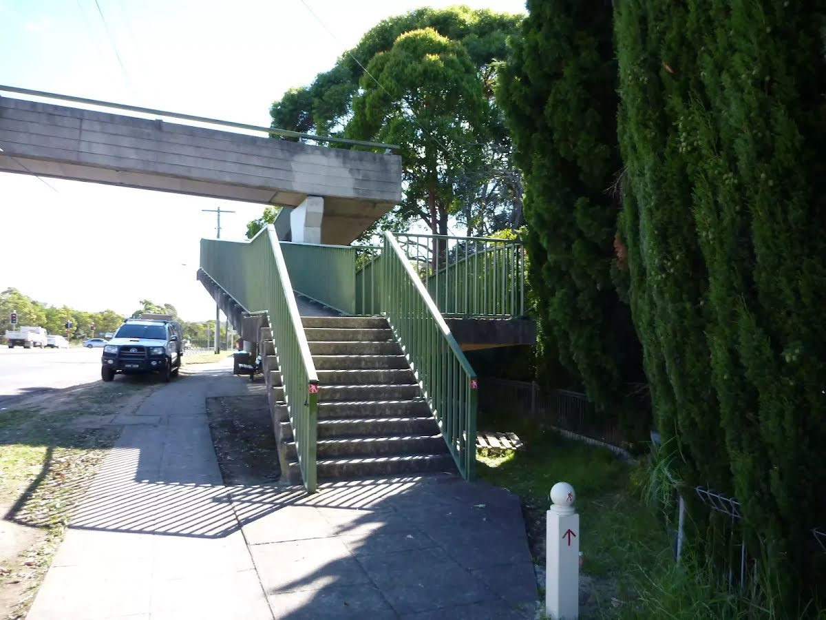
After another 15 m head through/around the gate.
After another 4 m (at the intersection of Glenview Road & Lyrebird Gully Track) turn left, to head along Glenview Road (a residential road).
After another 4 m (from the Glenview Road) continue straight, to head along Glenview Road.
After another 35 m turn right.
After another 65 m pass a seat (30 m on your right)., has a backrest.
After another 20 m turn left.
After another 300 m turn right.
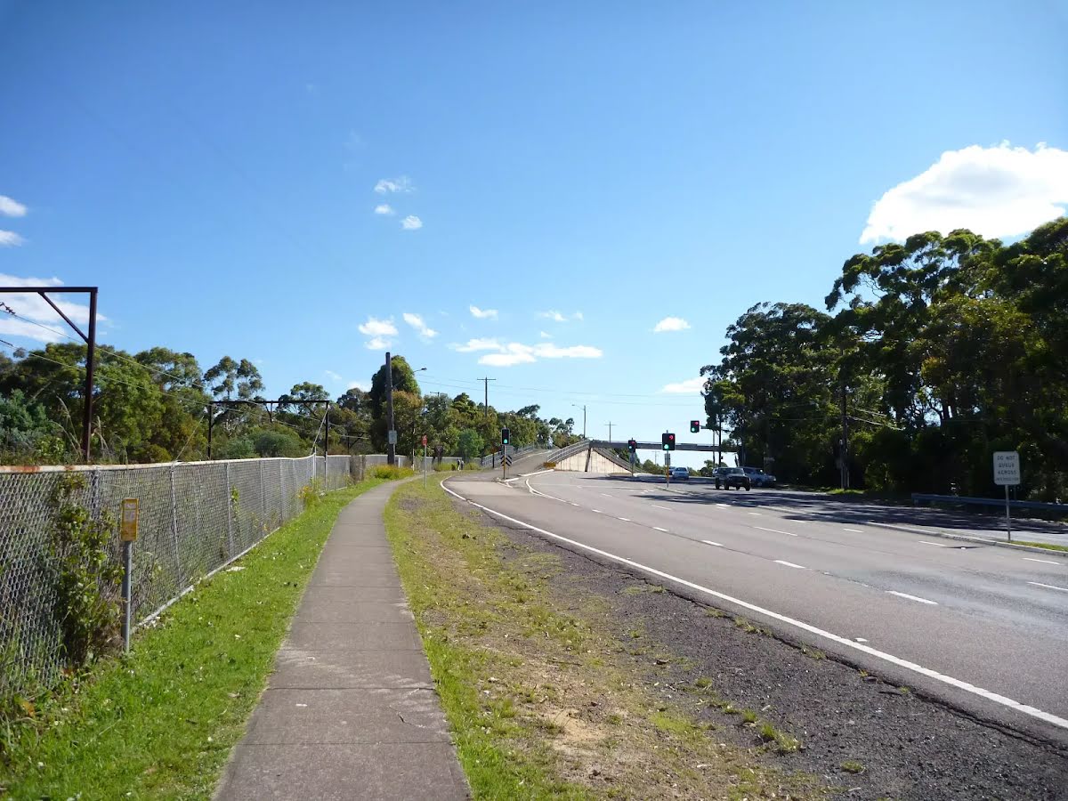
Then head through the tunnel (about 25 m long)
About 80 m past the end is a pay phone.
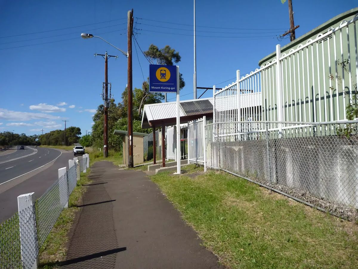
The end.
Galston Gorge to Mt Kuring-gai
Grading
Class 4/6
Hard track
Length
12.5 km
Time
4 h, 6 h 30 min to 2 days
Quality of track
Rough track, where fallen trees and other obstacles are likely (4/6)
Gradient
Short steep hills (3/6)
Signage
Directional signs along the way (3/6)
Infrastructure
Limited facilities, not all cliffs are fenced (3/6)
Experience Required
Some bushwalking experience recommended (3/6)
Weather
Storms may impact on navigation and safety (3/6)
Some facilities on route
Campsite: There are 7 on route, on average they are 1.6 km apart with the largest gap of 4.7 km.
Shelter: There are 2 on route, on average they are 4.2 km apart with the largest gap of 6.8 km.
Toilet: There are 2 on route, on average they are 4.2 km apart with the largest gap of 6 km.
Seat: There are 5 on route, on average they are 2.1 km apart with the largest gap of 7.1 km.
UV Alert: Sun protection not recommended, UV Index predicted to reach 2 [Low]
Thursday 17 July
4°C → 17°C
Mostly sunny. 5% chance of rain
Mostly sunny. Areas of morning frost in the west. Light winds.
Friday 18 July
5°C → 16°C
Possible shower. 40% chance of rain 0 → 1mm
Partly cloudy. Patches of morning frost in the west. Medium chance of showers, most likely in the morning and afternoon. Winds southwesterly 15 to 20 km/h tending southerly during the day then becoming light during the evening.
Saturday 19 July
6°C → 18°C
Mostly sunny. 10% chance of rain
Mostly sunny. Patches of frost and the chance of fog in the west in the morning. Slight chance of a shower along the coastal fringe, near zero chance elsewhere. Light winds.
Sunday 20 July
4°C → 18°C
Sunny. 10% chance of rain
Sunny. Areas of morning frost in the west. Light winds.
Monday 21 July
6°C → 18°C
Shower or two. 50% chance of rain 0 → 2mm
Partly cloudy. Medium chance of showers. Light winds becoming easterly 15 to 20 km/h during the day.
Tuesday 22 July
8°C → 19°C
Shower or two. 60% chance of rain 0 → 4mm
Partly cloudy. Medium chance of showers. Light winds becoming northwest to northeasterly 15 to 20 km/h during the morning.
Other planned events: Quarry Trail maintenance Surface and vegetation works will be carried out on the Quarry Trail from Wednesday 25 June until Wednesday 16 July 2025, weather permitting.
Walkers permitted but there may be delays. Please follow all signage and instructions from NPWS staff and contractors. Penalties apply for non-compliance. For more information, contact the North Western Sydney area office on 02 8448 0400.
Safety alerts: Swimming safety in Berowra Valley National Park Swimming is not advisable in Berowra Creek at certain times as the water may be subject to variable pollution levels and algal blooms. Please refer to the Hornsby Shire Council website before swimming in Berowra Creek. Alternatively you can call the Hornsby Council 24 hour information line on 9847 6666 or the Algal information line on 1800 999 457.
Swimming at Fishponds is not advised at any time due to heavy water pollution. Penalties apply for non-compliance.For more information, contact the NPWS Chatswood area office on 02 8448 0400 or visit the NSW National Parks safety page for park safety guidelines.