Show all
Browse by Editions Authors Topics Locations

The Great North Walk Takes a Big Step Backwards

menu_book picture_as_pdf bookMatt McClelland News Bushwalk Australia New South Wales
Issue_17_June_2016-24

View from the end of the Mitchell Trail on the proposed route

The Great North Walk Takes a Big Step Backwards Matt McClelland

Bushwalking in NSW can be like that wonderful friend with great potential, but who makes weird decisions that leave you wondering “What were you thinking?” You know the guy, he is naturally smart, does not need to study, but sleeps through the exam the guy who is asked out on a date by the girl of his dream, but thinks she is kidding, so laughs at her “joke”.

24 | BWA June 2016


The previous NSW Minister for the Environment announced that she wanted NSW to be the premium walking destination in the region. Since then it seems that people are still giggling, thinking it is a joke. Because NSW does not have the same scenery as Tasmania and New Zealand we seem to think we are just too boring to be taken seriously.

NSW has taken a couple of steps forward, but sadly many more steps backwards. Australia has seen a massive spike in the popularity of bushwalking in the last five years with around 30% of the population are now enjoying the pursuit. During this time, NSW has lagged as the state with the least growth, a growth rate two thirds that of South Australia. I think this is due to a lack of vision and understanding about what makes NSW a wonderful walking destination. This article will run through just one of these backwards steps, a strange decision that detracts from the experience of a popular walk. I don’t blame those who made the decision, I just think we can do better.

The Great North WalkThe Great North Walk (GNW) links Sydney to Newcastle through some surprisingly wild places. One of my favourite stretches is through the Berowra Valley. Soon after you leave Thornleigh Train Station you are surrounded by dense bushland where lyre birds and water dragons dart around you. The GNW is very popular, hosting more visitors each year than the Overland Track (Tasmania) and Milford Sound (NZ) combined. Like many other bushwalkers, I'm very upset to see this walk recently degraded because of one of those strange decisions.

The problemFor many decades the GNW track between Fishponds and Steele Bridge passed through a deep valley within the Hornsby Rifle Range “Danger Area”. Walkers and shooters have got on fine with no incidents. Recently, the oversight of rifle ranges was passed from federal control to state police. Although the risk to walkers is very low, under the new rules there is a zero risk policy.

Lower crossing of Tunks Creek on proposed route

BWA June 2016 | 25


Lower crossing of Tunks Creek on proposed route

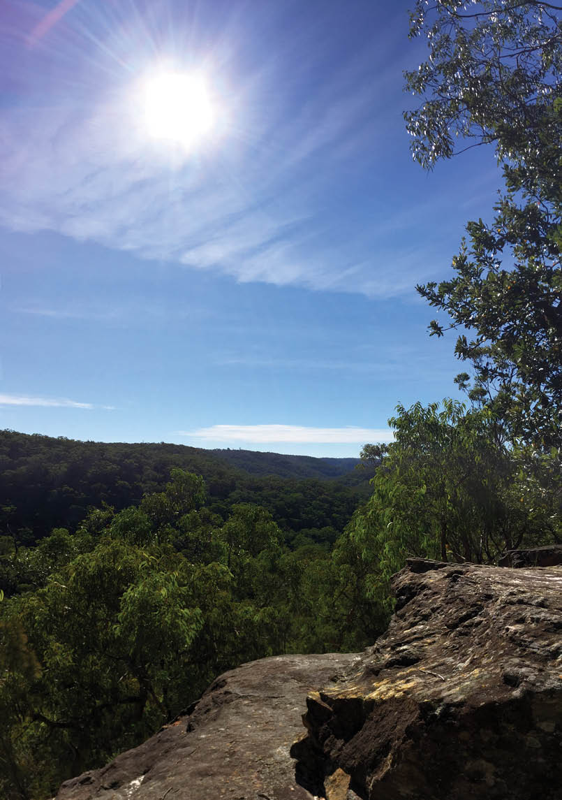
The decisionThis change in risk tolerance has recently lead to a multi-agency working group deciding to close the main walking track and detour walkers via public roads to avoid the rifle range. Until this you could walk for 25 kilometres through the Berowra Valley without stepping onto a road. Now you only get seven kilometres in before being diverted into suburbia. Walking on roads is not uncommon on the GNW, but the plan should be to get more and more of this walk into bushland where possible. It seems that the road diversion is simply the path of least resistance.

This issue has been bubbling away for many years, and has been in serious focus for the last six months or more. I have bounced ideas with parks and rifle range staff. The local MP Matt Kean has also been great in trying to find a solution that works for everyone. Many other people have also been trying to find a solution, with MLC David Shoebridge, Kean and I chatting on local radio. One thing is clear: people want a better solution.

A better optionThere's a better option that would improve the overall walking experience, keep people safe and not interfere with the rifle range.

This solution has two parts:

Create three new short walking tracks of about three kilometres in total, allowing a diversion to the west of the danger area. The tracks would link Mitchell and Quarry Trails to the GNW.

Maintain and signpost the original walking track for use when the rifle range is not in use.

This solution gives people more choice, allows you to walk the full length of the national park without stepping onto roads, improves access to walking tracks from more suburbs, is Bewlow, affordable to build and maintain and creates a new circuit walks. Everyone wins.

This is what I recently sent to the NSW Minister for the Environment, Mark Speakman, for his consideration. The idea is being explored as you read this. I am not fixed on this solution; there may well be even better solutions out there. Like many others I just want a solution that is better than diverting such a fantastic walk out of the bush onto public roads.

As bushwalkers we cannot let our great walking experiences be degraded because of poor-quality decisions like this. We need our government agencies to be more creative, consultative and working towards a vision on better walking in NSW. As bushwalkers we need to be able to better work with all agencies to make significant improvements to our walking track networks. We need a vision and a plan to make NSW a premium walking destination, Let’s start by making the Great North Walk great again.

There's a better option that would improve the overall walking experience ...

Create three new short walking tracks ...

26 | BWA June 2016