

A lone walker moves silently through an ancient forest as dark clouds gather overhead. A strengthening wind gives voice to the tree tops and fat icy raindrops announce their arrival landing noisily in the leaf litter under foot. Scanning the forest ahead for signs of the faint pad he has been following the walker is confronted by the chaos of a recently fallen tree.
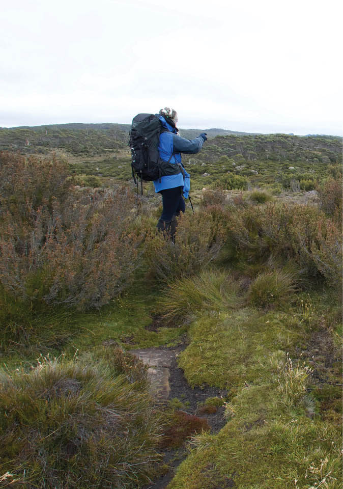
That must be north then ... isn't it? Lake Fanny Track, Walls of Jerusalem, TasmaniaAll pictures by Annie Bowerman

Navigation
Allan Purdon

42 | BWA August 2021

Smashed limbs and the fractured trunk of a large stringybark have obliterated any signs of the way ahead. Turning to look back the way he came, the pad he was following is suddenly no longer obvious. Retreating slowly he searches for one of the strands of pink surveyors tape that had been his primary navigational tool to that point. The sighting of pink ribbons at regular intervals have provided him with all the reassurance he has required to know that he has been heading in the right direction. Now, with slowly ebbing confidence he moves in a wider arc searching for any sort of sign that he has previously passed this way.
With the menacing rumble of distant thunder ringing in his ears he slings his pack down on a nearby log and pulls out …
If you have yet to find yourself in a predicament similar to this, keep walking, one day you will.
In an era that most of us might still remember our wayward walker would have had a very limited choice of navigational tools to reach for. A map and a compass would have been his best bet to make sense of where he had found himself. But maybe even before
consulting the map, an inherent sense of direction and understanding of the landscape that could only have been gained through years of experience could well have been his most valuable tool. Today, well-equipped walkers of all levels have a vast array of navigational aids at their disposal and any information required would most likely have been sourced from the internet, searched for, downloaded and saved to some form of digital device prior to setting out. The information stored, like the device it has been saved on, could could come in many different formats and be customised to suit the needs of the individual.
Now this is where it gets tricky. Is it sufficient for bushwalkers to rely solely on electronic devices for all their navigational needs or should they still be required to posses a basic understanding of topographical maps and the use of a compass as a minimal back up? And on the other side of the coin, is a walker using nothing more than a map and compass simply stuck in the past and possibly even putting himself at more risk by limiting his way finding options?
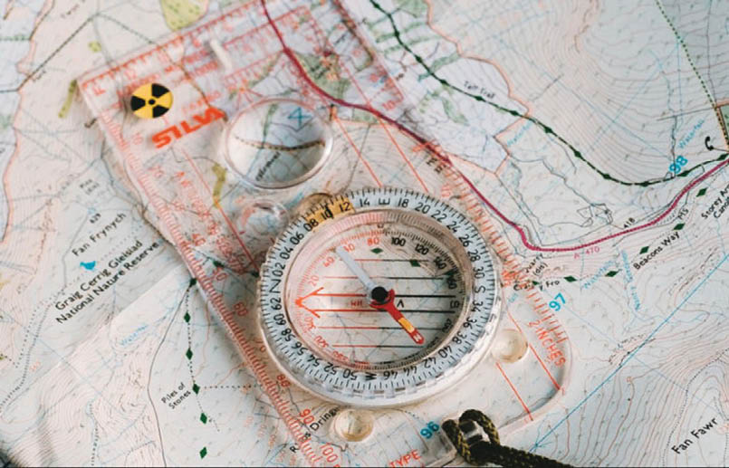
Should you leave home without them?
“Is it sufficient for bushwalkers to rely solely on electronic devices ...
BWA August 2021 | 43

Old school fishing boat skippers have argued for decades that modern GPS navigation and ocean sounding technology has dumbed down the requirements needed to be a successful fisherman. Modern skippers they say are simply accessing artificial intelligence to show them when and where to get the best results where previous generations had to rely on a greater wealth of knowledge gained through years of trial and error to be successful. Could it be argued that like a modern day fishing boat skipper a bushwalker following a dot on a screen is devoid of any inherent skill and simply using artificial intelligence to reach his chosen objective? Could it be that a walker concentrating on a small blip held in the palm of his hand has sacrificed any sense of spatial awareness that a walker surveying the broad spread of a topographical map may have gained from a need to relate what the map is telling him to what he sees in the landscape surrounding him? A bit like the music festival patron who spends the entire concert recording the event on their phone and as a result sees very little of the event through their own eyes.
When researching a walk it is now possible for the researcher to simply request a detailed GPX file from somebody who has previously completed the walk and then to download a customised map from an ever expanding number of specialist map producing platforms. While sharing of GPX files may be frowned upon by some it is a common practise widely accepted by many bushwalkers. It's also good chance that anybody researching a walk will have the opportunity to watch a video posted on the internet of the walk they intend to do. The days of walking off into the unknown are fast becoming a thing of the past.
When a large proportion of bushwalkers pull on a pack and set forth into the bush it could well be imagined that one of their main objectives is to escape the constraints of everyday life. To leave the city and all its trappings behind. For those of us who already spend a huge amount of time screen
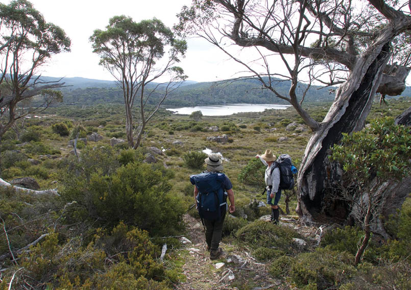
That looks like the same lake we passed an hour ago Terry Tarn, Central Plateau, Tasmania
“The days of walking off into the unknown are fast becoming a thing of the past.
44 | BWA August 2021
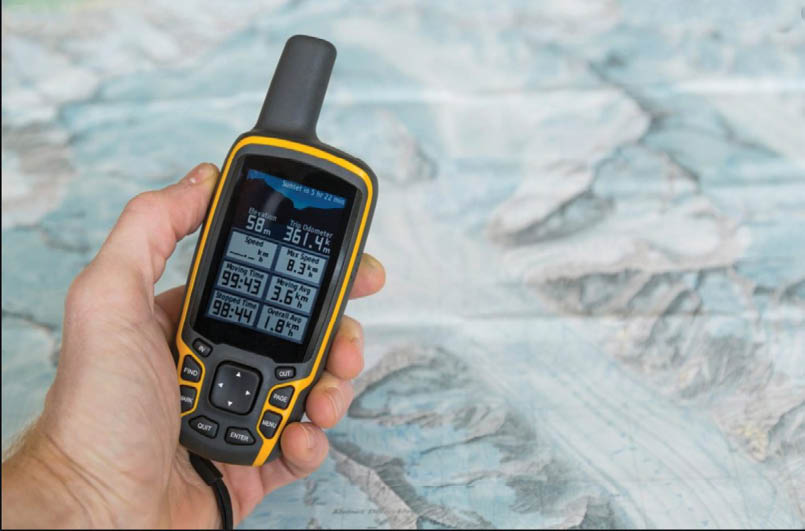
gazing in our normal day to day existence it would seem that this would be the perfect opportunity to leave our devices at home. But for walkers of all levels the ability to pinpoint our location down to the square metre is an asset and at times a comfort that simply can't be dismissed. The massive amounts of man and resource hours that must have been saved by emergency services since the advent of Global Positioning Satellite Receivers could not be overestimated. On average 2000 rescues are performed by emergency services throughout Australia every year with state and territory police tasked to coordinate all land based search and rescues. Lost walkers make up a proportionally small number of these rescues with injured or poorly equipped walkers making up the bulk of the numbers. It would seem that getting lost is becoming harder than ever. Even at its most basic level GPS navigation has the ability to save lives while at its most rudimentary level map and compass navigation is a skill which requires practise to master and regular use to maintain as a useful skill.
So is the art of finding your way with a map and compass dying?
Map and compass navigation certainly requires a higher degree of patience when compared to the function of a GPS and a user who simply wants to know where he is at the push of a button. A map and compass navigator will need to utilise skills gained through regular use to calculate where he is as opposed to a walker who has simply been shown his location on a GPS screen. While not possessing the same degree of accuracy as a GPS, the reliability of a map and compass in the hands of a competent navigator can be assured. So long as they are kept in reasonable condition a good compass and map will always function in the way it was designed to, where as any form of digital navigation is crucially reliant on a reliable power source and clear path to a satellite to function properly. While a GPS may be far more accurate and faster than a wind shredded rain soaked map, there are still limitations for both. Situations of restricted
The choice of navigational tools has never been greater.
“It would seem that getting lost is becoming harder than ever.
“Situations of restricted visibility create added challenges to all forms of navigation ...
BWA August 2021 | 45

“Today's navigators are still using technologies founded in the 17th century!
visibility create added challenges to all forms of navigation and without some line of sight any bushwalker is going to experience an increased level of difficulty in such situations regardless of what they are using to find their way.
Ever since the earliest caveman first picked up a rock to use as a hammer, us humans have been inventing and perfecting tools to make tasks easier. Englishman Edmund Halley is credited as inventing the first liquid filled compass in 1690. However, Chinese navigators were using crude dry type compasses for centuries prior to that. In 1730 Englishman John Hadley and American Thomas Godfrey using principles discovered by Issac Newton, simultaneously developed the sextant. Both of these inventions would have been massive leaps forward for navigators and must have revolutionised the principals of navigation at the time. The sextant and compass must surely have been regarded as the ultimate device that could ever be needed to perform the tasks they did. Inventions that needed no improvements.
Even in their wildest imagination these gentlemen could not possibly have imagined that one day our planet would be surrounded by satellites flying through space, constantly detecting signals from billions of sources worldwide in order to pinpoint their
exact locations. Regardless of the crazy advances being made in satellite navigation, today's airline pilots and ships navigators are still equipped with paper maps and compasses. Today's navigators are still using technologies founded in the 17th century! While it would seem that the use of a map and compass by the bushwalking community at large is heading in the same direction as the use of heavy canvas tents and back packs. The contribution these tools have made to modern navigation should not be disregarded too quickly. I feel the trusty map and compass may be around for a long time to come yet!
With the menacing rumble of distant thunder ringing in his ears he slings his pack down on a nearby log and pulls out … his GPS. A map and compass would usually have been his first choice, but with the weather closing in by the minute, the need to determine his exact location and before pitching his tent and seeking shelter has become a priority. Like any skilled craftsman he has chosen the right tools to do the job proficiently in the time available.
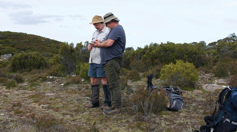
I reckon this could be where we went wrong!Southern access to the Walls of Jerusalem, Tasmania


46 | BWA August 2021
