
John Chapman has produced bushwalking guidebooks for 40 years, and is a well respected author. With his wife Monica and friend John Siseman he has made an invaluable contribution to Australian bushwalking. In November 2017 John printed updated guidebooks to South West Tasmania, the South Coast Track in Tasmania, and Day Walks in and near Melbourne. BWA asked John for information about these book, and he provided the following.
I have been unable to do more than glance at the books. However, I have been using these books for nearly as long as they have been published, and can attest to their accuracy.
John's website has new information and amendments for all his books, a great way of keeping up to date. Stephen Lake
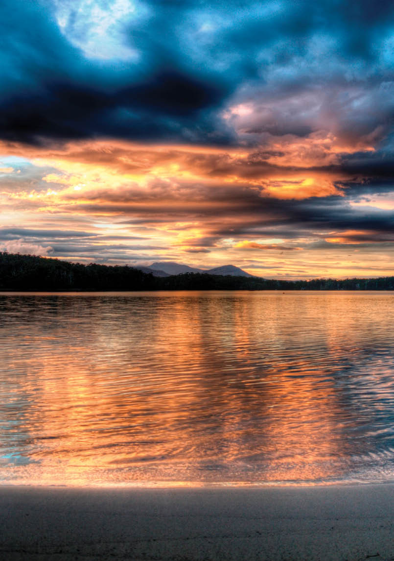
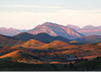
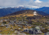
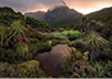
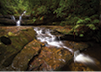
Sunset on Rocky Bay, Cockle Creek, Southern Tasmania Stuart Bowling

Three New Chapman Books

48 | BWA December 2017
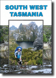
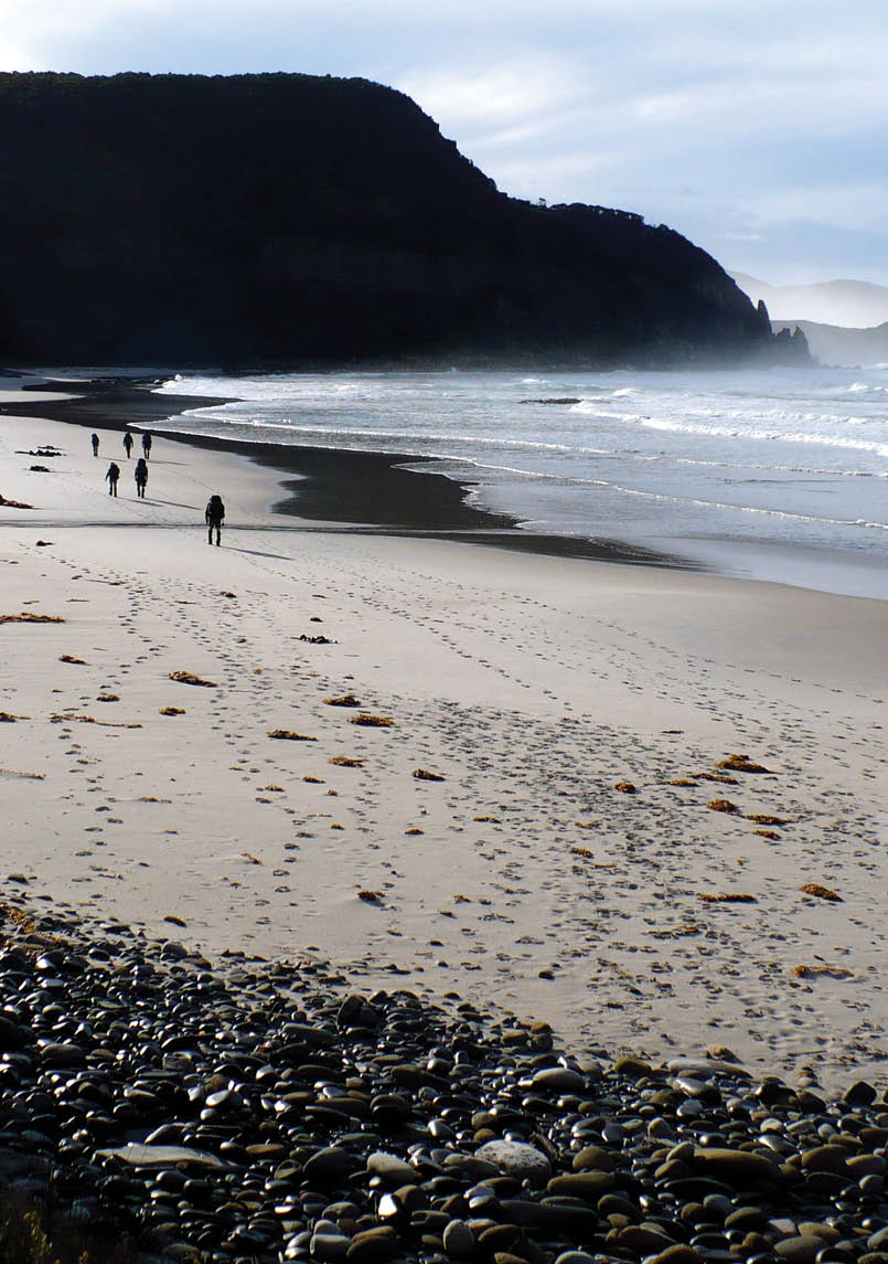
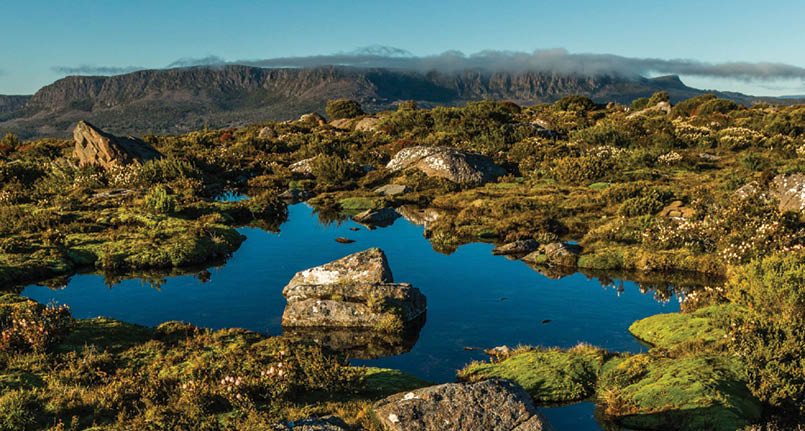
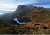
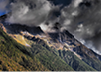
South West Tasmania by John Chapman, Edition 6The wilderness of south-west Tasmania contains some of Australia’s most spectacular scenery and is a Mecca for bushwalkers from all over the world. Jagged peaks, massive cliffs, tannin-stained lakes, open plains and deep gorges are intermingled with forest and scrub for which the region is famous. Equally beautiful are the sandy beaches, sharp headlands and tranquil lagoons of the rugged coastline. It presents tremendous variety which has great appeal to those with a sense of adventure. The region contains vast tracts of true wilderness with no roads, few huts and only a few walking tracks. It is this undeveloped nature, as well as the beautiful scenery, which attracts bushwalkers to seek out and experience the isolation, beauty and challenge that is to be found in this corner of Tasmania.
This book describes the major tracks and walking routes south of the Lyell Highway in the Tasmanian Wilderness World Heritage Area. The Southwest and the Franklin Gordon Wild Rivers National Parks have a combined area of one million hectares – a staggering 15% of Tasmania. Within these two, huge parks, a large variety of both short and long walks is possible. While some day walks are described, the majority of this book details overnight and longer walking trips.
The isolation of the area, the extremely variable weather and roughness of some of the terrain, make many of the longer trips unsuitable for bushwalkers with limited experience. For a first visit, it is suggested to stay on tracked walks such as Frenchmans Cap and the South Coast Track. For a second visit, South West Cape and Mt Anne are suggested which have a mixture of tracks and rough walking pads.
For experienced walkers, the long, tough walks like the Western Arthurs, Federation Peak and the Southern Ranges are the most popular trips. These ranges have some rough walking with many ascents and descents of near-vertical cliffs and gullies. For the really hardy walkers there are even tougher trips to attempt like the West Coast, Vanishing Falls and the Prince of Wales Range.
First published in 1978, this sixth edition, has seen another rewrite and update. Track notes are provided at three different levels of detail and each is designed to suit bushwalkers of varying experience.
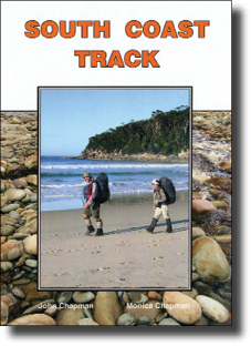
South Coast Track by John and Monica Chapman, Edition 2The South Coast Track traverses the magnificent southern coastline of Tasmania's Southwest National Park. It is one of the great wilderness walks of the world and is renowned for its pristine beaches, rugged headlands, open moors and dense rainforests. There are numerous rivers to wade and two mountain ranges to cross providing some unique challenges. This
“It is this undeveloped nature, as well as the beautiful scenery, which attracts bushwalkers ...
BWA December 2017 | 49


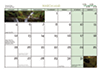

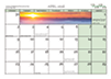

Bushwalk australia
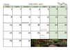
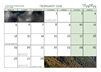
2018 Calendar

Calendar costs $15 (including postage in AU). Order your copy (or copies) at bushwalk.com/store
Order early, numbers are limited. Shipment before Christmas.
park is an area of outstanding beauty and is a core component of the Tasmanian Wilderness World Heritage Area which contains one of the largest regions of temperate wilderness in the world.
Eastbound walkers start at a lonely airstrip deep in the wilderness, five day's walk from the nearest road, then walk for a week meeting no other walking tracks until a gravel road at Cockle Creek. The track is generally not signposted, but is fairly easy to follow. The walk cannot be shortened.
While called a “coast” track, the South Coast Track does more than just follow sand dunes and beaches. Parts of it are rugged with high ridges and two mountain ranges extending into the Southern Ocean. The track crosses these ridges and ranges which have between them long stretches of poorly drained moors. Expect to get wet feet on flooded sections of track and when wading rivers and creeks. Calf-deep mud can also be experienced on
some sections. There are some steep climbs and descents along the way as well as easy walking on long, sandy beaches. Apart from open ground for camping and pit toilets at major campsites, there are no facilities along the track. All visitors must be fully self-sufficient with tents, stoves and all food.
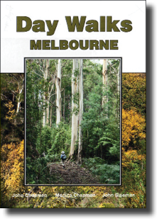
Day Walks Melbourne, by John and Monica Chapman, and John Siseman, Edition 2While Melbourne is one of the world's large cities, the bushland in and around the city provides a diverse range of walking landscapes. Renowned for its parks and gardens, Melbourne’s surrounding bushland also offers enjoyable walking destinations within reach of the suburbs. There is some beautiful and carried scenery, including sub-alpine forests, rocky peaks, waterfalls and sandy beaches, all within easy reach of the city. With such diversity Melbourne is an ideal place to explore on foot. This guide contains suggestions for walkers of all abilities, with walks in the mountains, parklands and coastal areas. The book has 40 different walking areas and 96 walk variations.


“With such diversity Melbourne is an ideal place to explore on foot.
50 | BWA December 2017