

Where on (Google) Earth Am I?A humorous reflection
Scott Levi


I recently expanded my skills from angling to bushwalking and tested these on a fishing and bushwalking trip into the Tasmanian Central Plateau Wilderness Area with an ABC colleague Rob Lennon and his partner Dr Jennifer Taylor, an Ecologist and Senior Lecturer in Environmental Science at the Australian Catholic University in Sydney. And, they made it back to tell the tale!
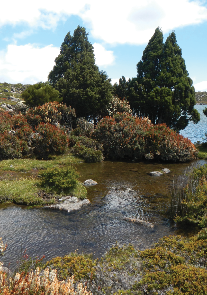
Lake by the campsite, Central PlateauJen Taylor
52 | BWA August 2018
From Western Lakes to the Great Western Tier Rob Lennon
The payoff for successful navigation, for me, is that moment when the campsite is set and the pain of humping a 20 kilogram pack up a mountain is over. That moment when the tent is up, the mat is inflated, the sleeping bag has lofted, the Jet Boil, Trangia, or, if allowed, the fire is blazing, when the tired but satisfied walkers can finally revel in their shared experience while watching the old bush TV flicker away. At some point the conversation will surely gravitate to how to navigate, a very serious topic in trackless country like our last expedition into the Tasmanian Central Plateau Wilderness area.
You can just imagine the first Australians working on their navigation skills by singing their incredibly sophisticated song lines around that primordial fire with their star map blazing overhead. No need to worry about getting lost if the GPS batteries run out for them. Or bushwalking pioneers like Paddy Pallin and friends poring over ragged topographical maps and maybe pouring a we dram of the hard stuff while speculating about the next day's route.
Up until this expedition into the wilderness I had always been guided by experienced walkers who had the GPS navigation down pat. This time I was the leader, a daunting responsibility indeed. To prepare I spent
countless hours on the iPad zooming in on Google Earth looking at the lakes I wanted to walk to and fly fish and finding the huts that we could use as shelter if the weather turned bad. I'm sure this is no revelation to the tech savvy walkers reading this, but, I started to wonder, as I zoomed right in on these locations from a satellite in space, if the latitude and longitude displayed would be accurate. I consulted with my guru, bushwalking mentor and inspiration Matt McClelland from Wildwalks, and always the enabler, he said, "sure, they should be accurate, within about 30 metres, or so", so out came the $115 hand held GPS and in went the coordinates and our week long walking route and camping spots were set!
My brave companions. Very brave for following me into the wilds armed only with free coordinates from Google! We began south-west of Deloraine at the Western Creek car park, starting later than expected, racing a summer thunderstorm up the Great Western Tier in unusually humid conditions. Jen was really struggling with a pack failure that had her load shifting and swinging back, pulling her off balance every step of the steep climb up the Western Creek track. When the track petered out we had to rely on my DIY GPS coordinates and if my data entry and theory wasn't right we were lost!

“Is that Lake Nameless I spy?”Jen Taylor
Scott: “Ah yes, here we are.” Jen Taylor
BWA August 2018 | 53
With the light fading and lightning and thunder crashing all around us I kept following the pointer arrow on my hand-held GPS and with false bravado told my exhausted companions we were "almost there!" While privately thinking I was leading these poor people to their doom. to my amazement the old tin survival hut emerged, built by Norm Whitley, emerged from the dense tea tree scrub 10 metres from where the GPS said it would be (very hard to spot from the satellite image, being just a rust coloured speck in a sea of green). We arrived at our sanctuary near Westons Lake just as the wild storm front hit, with lashing, torrential rain, wind and lightning! We were planning to tent it only, however as the rain and sleet drummed on the roof and walls of the hut we said a huge thank you to the Mountain Huts Preservation Society of Tasmania, Tasmania Parks and Wildlife Service and anyone else who maintains these lifesaving mountain refuges.
Now, I'm sure, those bushwalkers more experienced than I (and that would be all reading this!) have seen the fatal flaw in my navigation method. All I had were way points with no map of what lay between them. A straight line through trackless country, can lead you off a cliff, into a ravine or an impassable swamp. Luckily my companion Rob was smart enough to buy the topographical maps of the area and Rob and Jen had two PLBs in case of emergency. With a real chance of being bitten by one
of the six big Black Tiger snakes that we encountered along the way, or if I led them astray (far more likely than snake bite!)
I can't tell you how much an experienced Australian ecologist and environmental scientist walking with you adds to the enjoyment. Dr Jen turned a fly fishing trek into a real-life David Attenborough documentary. "Why are those skinks so fat? The ones always on the rocks sunning themselves?" I would ask, "They are the females and they carry live young up here because it's too cold for eggs to hatch." Replied Jen. Or she would say, "That's a white lipped snake." Or "Those are so-and-so birds, they nest in the low bushes, there must be a predator about for them to be acting like that." and seconds later a one metre tiger snake slithered across our intended path! Jen's knowledge of the plants was encyclopaedic, her evidence-based information on fire ecology was fascinating, every plant and animal had a story attached, from potato orchids, to tree ferns, to giant cushion plants and the ancient pine trees.
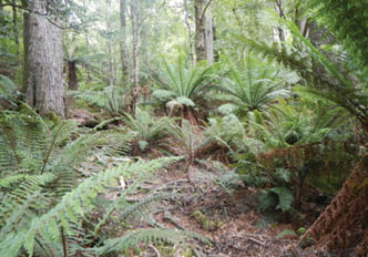
Temperate forest near the start of the walk Jen Taylor
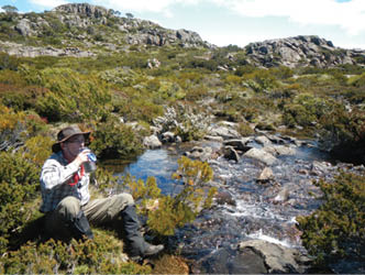
Rob Lennon waiting for a trout to riseJen Taylor
Rob having a breakJen Taylor
54 | BWA August 2018

That first glimpse of a lake you are going to camp on is always exciting. To plot these, I just zoomed in to the centre of the water on Google Earth and made that a way point, you couldn't miss. You can also re-enter the coordinates when you get there if you want to mark the way point of that perfect camping spot around the lake shore which can be a fair distance from the middle of the lake method. Pre-trip research is a lot of fun. You can track some of the little connecting creeks on the different systems and mark the larger tarns for exploration and you might even find your own secret spot! It's also interesting to look at your track and see how far you really walked between the way points, usually, a lot further than the initial estimate.
Please don't attempt this navigation method if you don't have a PLB and always have at least two companions if you are a novice like me. Many experienced locals like Greg French can walk through that huge area just using a mental map and compass, I have trouble finding my car keys every morning, so that seems super-human to me. As a fishing walker, navigation on the mainland is often as simple as finding the river, walking upstream and at the end of the day walking back. In Tasmania's Central Plateau it's a different game with hundreds of lakes scattered across the plateau. I'm not saying what we did is anything special, I'm sure many had done it before, but for me it was a revelation that the latitude and longitude of any destination you want to visit is there for free. Then there was the sense of accomplishment to do it for myself and the great fun in the planning. There are much more sophisticated ways to do this, with expensive GPS units that have very detailed, coloured, contour maps loaded into them and, of course, for the hard core, you can go old school, and just use a map and a compass, after all, for walkers, possessions are just a burden.
Read about choosing a GPS and using a smart phone as your bushwalking GPS in past editions of BWA magazine.
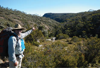
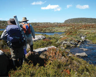
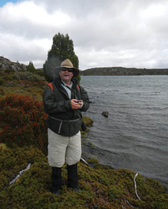
“The GPS says it's that way. Follow me,” says Scott. Head of the Western Creek track. Rob Lennon
Scott stumbled upon the joys of bushwalking when listeners to his ABC Central Coast radio program convinced him to have a crack at a 100 kilometre Oxfam Trail Walk. While training, Matt McClelland introduced Scott to the wonderland of walks on his doorstep in Central Coast national parks. Scott's team the Hawkesbury Hobblers finished, and Scott’s love of bushwalking was born. With new walking skills and knowledge, Scott has enjoyed combining bushwalking with his other great passion, fly fishing. Being self-sufficient and able to get away from popular fishing locations opens up a whole new world of relatively untouched angling opportunities. Scott has found, that usually the harder the walk, the better the fishing!


Near Lake Lucy Long Jen Taylor
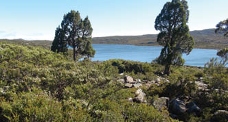
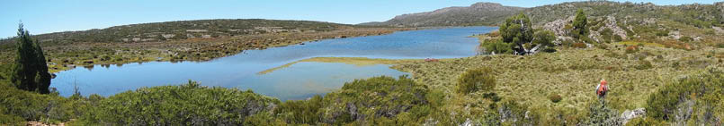
North-west corner of Westons Lake from Higgs/Ritters TrackJen Taylor
BWA August 2018 | 55