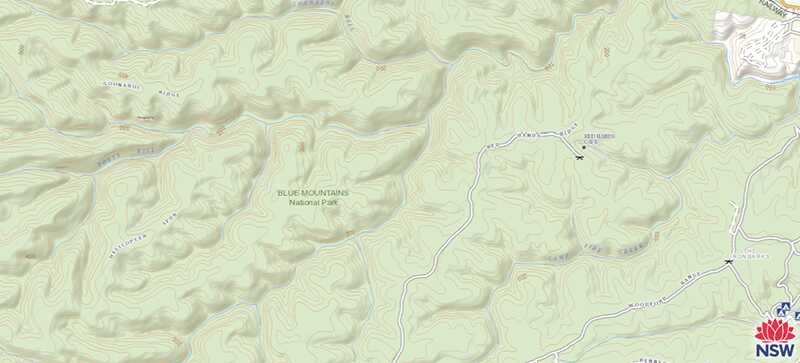
Landform refers to the shape of the land, and is a function of elevation and relief, that is, the representation, as depicted by the mapmaker, of the shapes of hills, valleys, streams, or terrain features on the earth’s surface. Both elevation and relief allow users to recognise landforms.
Contour lines are the most common method of showing relief and elevation on a standard topographic map, and they give a sense of slope. A contour line represents an imaginary line on the ground, above or below sea level. All points on the contour line are at the same elevation. The elevation represented by contour lines is the vertical distance above or below sea level.
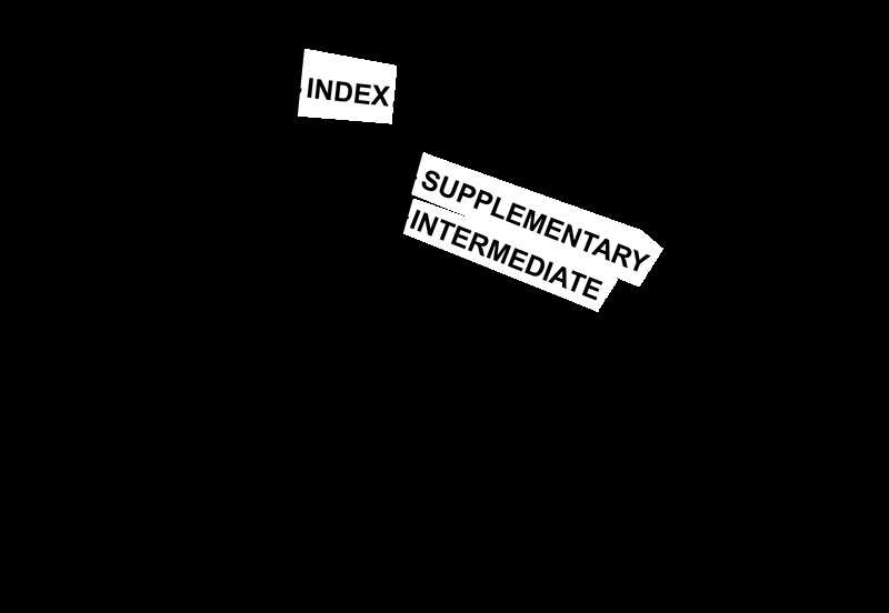
The three types of contour lines used on a standard topographic map are index, intermediate, and supplementary.
1. Index. Starting at zero elevation or mean sea level, every fifth contour line is a heavier line. These are known as index contour lines. Typically, each index contour line is numbered at some point. This number is the elevation of that line.
2. Intermediate. The contour lines falling between the index contour lines are called intermediate contour lines. These lines are finer and do not have their elevations given. There are usually four intermediate contour lines between index contour lines.
3. Supplementary. These contour lines resemble dashes. They show changes in elevation of at least one-half the contour interval. Supplementary lines occur where there is very little change in elevation such as on fairly level terrain.
Shaded relief can be used to emphasise features. Relief shading indicates changes in shape by a shadow effect achieved by tone and colour that results in the darkening of one side of terrain features such as hills and ridges. The darker the shading, the steeper the slope. Shaded relief is sometimes used in conjunction with contour lines to emphasise these features.