Shaded blue areas and blue lines identify hydrography or water features. These include lakes, swamps, rivers, and creeks as well as intertidal features and reefs. Maps can also include cultural features such as shipwrecks and patrolled beaches.
Topological maps do not distinguish between saltwater or freshwater systems, although common sense can mostly be used to figure this out: coastal water bodies are likely to salt-water, inland creeks are likely to be freshwater.

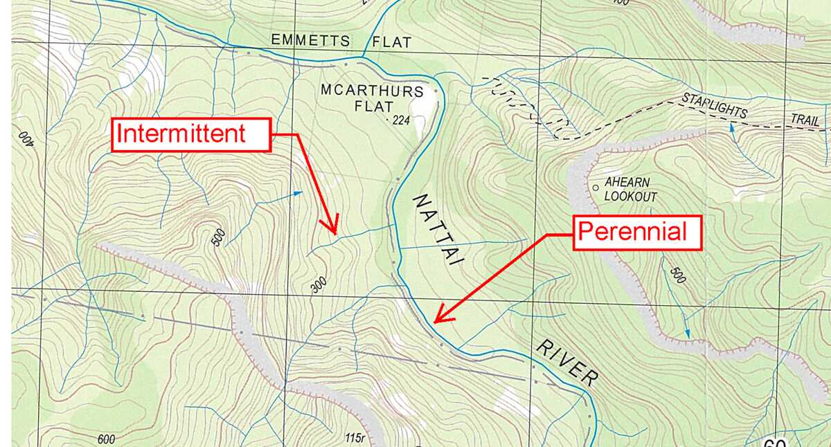
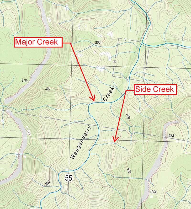
Major rivers are indicated as thicker blue lines and often have many smaller side creeks feeding into them. A river that has several smaller creeks feeding into it is more likely to be a permanent source of water than one without.
Australian water sources depend on local rainfall patterns. Some rivers run all year round, while others only flow after rainfall. A perennial watercourse contains water all year round, and can be thought of as a permanent water source, whereas a non-perennial watercourse intermittently flows depending on local weather and rainfall patterns.
It’s possible to make an educated guess as to whether a watercourse is running based on local rainfall patterns, known water levels and talking to other bushwalkers that have been in that areas recently.
On NSW topographic maps, the weight of a blue line indicates whether it is perennial or not: heavy lines show perennial watercourses, fainter lines show non-perennial.